Blackford County is located in the east central portion of the U.S. state of Indiana. The county is named for Judge Isaac Blackford, who was the first speaker of the Indiana General Assembly and a long-time chief justice of the Indiana Supreme Court. Created in 1838, Blackford County is divided into four townships, and its county seat is Hartford City. Two incorporated cities and one incorporated town are located within the county. The county is also the site of numerous unincorporated communities and ghost towns. Occupying only 165.58 square miles (428.9 km), Blackford County is the fourth smallest county in Indiana. As of the 2020 census, the county’s population was 12,112. Based on population, the county is the 8th smallest county of the 92 in Indiana. Although no interstate highways are located in Blackford County, three Indiana state roads cross the county, and an additional state road is located along the county’s southeast border. The county has two railroad lines. A north–south route crosses the county, and intersects with a second railroad line that connects Hartford City with communities to the west.
Before the arrival of European-American settlers during the 1830s, the northeastern portion of the future Blackford County was briefly the site of an Indian reservation for Chief Francois Godfroy of the Miami tribe. The first European-American pioneers were typically farmers who settled on arable land near rivers. Originally, the county was mostly swampland, but more land became available for farming as the marshes were cleared and drained. Over the next 30 years, small communities developed throughout the county. When the county’s rail lines were constructed in the 1860s and 1870s, additional communities evolved around railroad stops.
Beginning in the late 1880s, the discovery of natural gas and crude oil in the county (and surrounding region) caused the area to undergo an economic boom period known as the Indiana Gas Boom. Manufacturers relocated to the area to take advantage of the low-cost energy and railroad facilities. The boom period lasted about 15 years, and is reflected in Blackford County’s population, which peaked in 1900 at 17,213. The construction associated with the additional prosperity of the boom period caused a significant upgrade in the county’s appearance, as wooden buildings were replaced with masonry structures. Much of the infrastructure built during that time remains today—including Montpelier‘s historic Carnegie Library and many of Hartford City’s buildings in the Courthouse Square Historic District.
Agriculture continues to be important to the county, and became even more important after the loss of several large manufacturers during the 20th century. Today, 72 percent of Blackford County is covered by either corn or soybean fields; additional crops, such as wheat and hay, are also grown.
| Name: | Blackford County |
|---|---|
| FIPS code: | 18-009 |
| State: | Indiana |
| Founded: | April 2, 1838 |
| Named for: | Isaac Blackford |
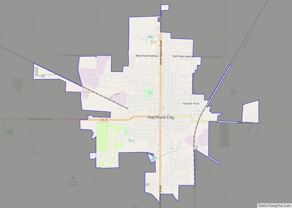
| Seat: | Hartford City |
| Largest city: | Hartford City |
| Total Area: | 165.58 sq mi (428.9 km²) |
| Land Area: | 165.08 sq mi (427.6 km²) |
| Total Population: | 12,112 |
| Population Density: | 77/sq mi (29.86/km²) |
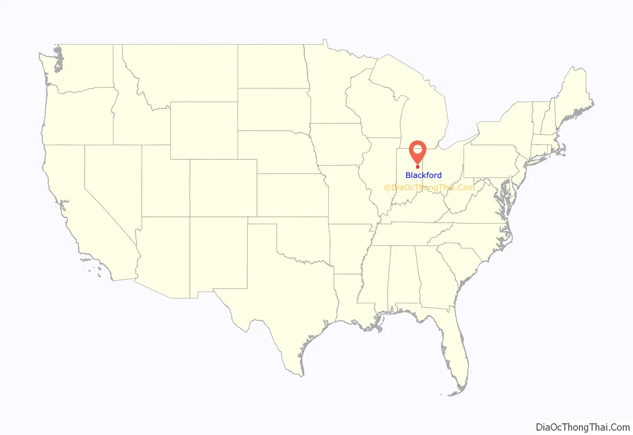
Blackford County location map. Where is Blackford County?
History
Following thousands of years of varying cultures of indigenous peoples, the historic Miami and Delaware Indians (a.k.a. Lenape) are the first-recorded permanent settlers in the Blackford County area, living on the Godfroy Reserve after an 1818 treaty. The site is located in Blackford County’s Harrison Township, east of Montpelier. Although the Godfroy Reserve was allotted to Miami Indian Chief Francois (a.k.a. Francis) Godfroy, Delaware Indians were also allowed to stay there. The Miami tribe was the most powerful group of Indians in the region, and Francois Godfroy (who was half French) was one of their chiefs. By 1839, Godfroy had sold the reserve, and the Indians had migrated west. Benjamin Reasoner was the first European–American to enter future Blackford County, and its first land owner. He entered the area on July 9, 1831. Reasoner and his sons built the county’s first mill, on their farm.
The land that would become Blackford County was originally the western part of Jay County. A January 30, 1836 act of the Indiana General Assembly created Jay County, effective March 1, 1836. In December 1836, a motion was made in the Indiana House of Representatives to review dividing Jay County, but that resolution was not adopted. Two Blackford County communities, Matamoras and Montpelier, originally existed as part of Jay County. They lie along the Salamonie River in what became the northeast portion of Blackford County. John Blount founded Matamoras, arriving in 1833. This village is Blackford County’s oldest community, and is the site of the county’s largest water mill. The mill, constructed around 1843, was considered one of the finest in the state. Blackford County’s other former Jay County community is Montpelier, west of Matamoras on the Salamonie River. Led by Abel Baldwin, the community was started in 1836 by groups of migrant settlers from Vermont. They named the settlement after the capital of their previous home state. Blackford County’s Montpelier was platted in 1837 (before Matamoras), and is the county’s oldest platted community.
Several sources list the creation year for Blackford County as 1837. However, the law was not finalized until 1838. Indiana bill of the House No. 152 was originally for the creation of a county named Windsor. The name “Windsor” was replaced with the name “Blackford” by the House of Representatives in January 1838. An “act for the formation of the county of Blackford” was approved on February 15, 1838. This act intended that the county would be “open for business” on the first Monday in April 1838, which was April 2. However, the county was not organized. Finally, on January 29, 1839, the original February 15 act was amended, stating that Blackford County shall “enjoy the rights and privileges” of an independent county. The act also appointed commissioners, and corrected a misprint that defined the southeast corner of the new county.
Over the next two years, a political struggle continued to determine the location of the county seat. The tiny community of Hartford was repeatedly selected by the commissioners, but those decisions were challenged by individuals favoring Montpelier. While Licking Township (where Hartford lay) was the most populous township in the county, Montpelier was the county’s oldest platted community. After a third and fourth act of the Indiana General Assembly, Hartford was finalized as the location of the county seat—and construction of a courthouse began. When it was noted that another Indiana community was also named Hartford, Blackford County’s Hartford was renamed Hartford City.
During the next 25 years, the county grew slowly. Plans were made for roads and railroads, and swampland was drained. The first railroad line was authorized in 1849. The plan was for the Fort Wayne & Southern Railroad Company to connect the Indiana cities of Fort Wayne and Muncie—running north–south through the Blackford County communities of Montpelier and Hartford City. Although construction began in the 1850s, it was not completed (by connecting Fort Wayne to Muncie) until 1870, and this delay caused it to be the second railroad to operate in Blackford County. By the time the railroad began operations, it was named Fort Wayne, Cincinnati & Louisville Railroad. The Lake Erie and Western Railroad acquired this railroad in 1890.
The first railroad to operate in Blackford County crossed somewhat east–west through the county’s southern half. The railroad was named Union and Logansport Railroad Company by the time it entered Blackford County. This line was proposed in 1862, and completed to Hartford City in 1867—running through the Blackford County communities of Dunkirk, Crumley’s Crossing, and Hartford City. The small community of Crumley’s Crossing was renamed Converse, and two other communities (Millgrove and Renner) became established on this line. The railroad was eventually named Pittsburgh, Cincinnati and St. Louis Railroad. Other names for the railroad since that time include the Panhandle division of the Pennsylvania Railroad, Penn Central Transportation Company, Conrail, and Norfolk Southern Railway. A portion of this line is now abandoned, and the track has been removed between Converse and Hartford City, south of State Road 26.
Gas boom
In 1886, natural gas was discovered in two counties adjacent to Blackford County. The discoveries were in the small community of Eaton (south of Hartford City along railroad line) in Delaware County, and in the city of Portland in Jay County (east of Hartford City and Millgrove). The Hartford City Gas & Oil Company was formed in early 1887, and successfully drilled a natural gas well later in the year. The Montpelier Gas & Oil Mining company was organized in 1887. While natural gas was found throughout Blackford County, crude oil was found mostly in the county’s Harrison Township (between Montpelier and Mollie). Blackford County’s first successful oil well, located south of Montpelier, began producing in 1890. Montpelier was thought to be “the very heart of the greatest natural gas and oil field in the world”. Oil was also found in parts of Washington Township, including a well that was thought to be “the most phenomenal well ever drilled in America”. By 1896, Blackford County had 18 natural gas companies, headquartered in all four of the county’s townships, including the communities of Hartford City, Montpelier, Roll, Dunkirk, Trenton (Priam Post Office), and Millgrove.
In June 1880, only 171 people held manufacturing jobs in Blackford County. The Indiana Gas Boom transformed the region, as manufacturers moved to the area to utilize the natural gas and railroad system. During 1901, Indiana state inspectors visited 21 manufacturing facilities in Blackford County, and these companies employed 1,346 people (compare to 171 two decades earlier). Since these inspections were in Hartford City and Montpelier only, additional manufacturing employees from the county’s small communities (such as Millgrove’s glass factory) could be added to the count of 1,346. The county’s two largest employers were glass factories: American Window Glass plant number 3 and Sneath Glass Company. Hartford City’s resources (low–cost energy, two railroads, and skilled workforce) were especially favored by glass factories, and a 1904 directory lists 10 of them. In addition to an economic transformation, another byproduct of the gas boom was an upgrade of Blackford County’s appearance. Many of the county’s landmark buildings were constructed during the gas boom, including the current courthouse and surrounding buildings in Hartford City’s Courthouse Square Historic District. The city’s water supply system was also built during that period. Additional buildings include the Carnegie Library, and the historic Presbyterian Church. Many of Montpelier’s Downtown Historic District structures were built during the gas boom. Montpelier’s historic Baptist Church and Montpelier’s Carnegie Library were constructed in the early 1900s – near the end of the gas boom.
Post-gas boom
The Indiana Gas Boom ended during the first decade of the 20th century, reducing the county’s economy. Gas and oil workers left, some manufacturers moved, and service industries were forced to cut back operations. Adding to the county’s problems, machines made the labor–intensive method originally used for producing window glass obsolete, causing many of the county’s skilled glass workers at the large American Window Glass plant to lose their jobs. By 1932, the window glass plant of the county’s former largest employer was closed. According to the United States Census, Blackford County’s population peaked at 17,123 in 1900, and it still has not returned to that zenith over 100 years later.
The end of the gas boom was especially difficult for the smaller communities in the county, since the loss of a single business has more of an impact on small communities. In the case of Millgrove, the community’s major manufacturer (a glass factory) closed. For other communities, such as Mollie, the loss of the gas and oil workers meant that the local post office was a “waste of time”, and consumer demand at the general store was significantly diminished.
Improvements to the automobile and highways, which coincided with the end of the gas boom, also contributed to the decline of the county’s smaller communities. The automobile changed “business and shopping patterns at the expense of the small-town merchant”. Small–town residents began to drive to larger communities to purchase goods, because of the wider selection. The improved quality of automobiles and roads competed with passenger service on the railroads (and interurban lines), causing a decline in passenger traffic on the rails. Small towns associated with railroad stations suffered from the loss in traffic. In Blackford County, passenger service on the Lake Erie and Western Railroad line (owned by the Nickel Plate Road by that time) was discontinued in 1931, and the last interurban train ran on January 18, 1941.
Although many workers left the area after the gas and oil bust, Montpelier’s population eventually stabilized—and Hartford City’s grew. Some manufacturers remained because of a lack of better alternatives. Hartford City’s Sneath Glass Company, a major employer, continued operations until the 1950s. Hartford City leaders attracted businesses such as Overhead Door (1923) and 3M (1955) to replace the former companies. Overhead Door was a major employer in Hartford City for over 60 years. In the 1960s, Overhead Door moved its headquarters from Hartford City to Dallas, Texas, although its Hartford City manufacturing plant continued until the 1980s as a major manufacturer, when it began reducing its local presence. It ceased the Indiana operation in 2000. The county lost another 200 jobs in 2011 when Hartford City’s Key Plastics plant closed.
Agriculture continues to be an important factor in the county’s economy. Over 70 percent of Blackford County’s land is occupied by soybean or corn fields. Additional crops and livestock are also raised. Good returns in agriculture are not always reflected in the economy of nearby towns, as industrial agriculture has reduced the number of workers it needs, and family farms have declined. Many small towns in the “Corn Belt”, such as the communities in Blackford County, continue to decline in size and affluence.
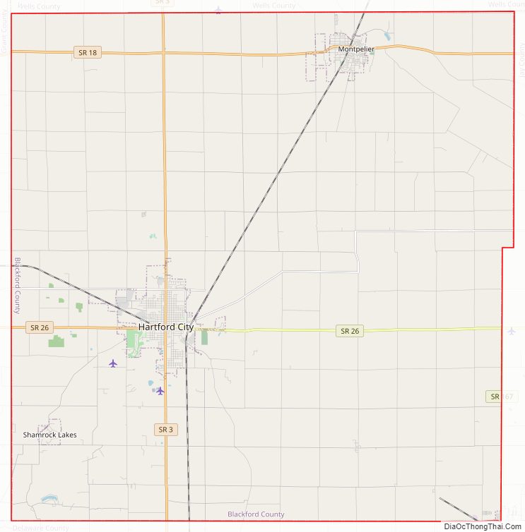
Blackford County Road Map
Geography
According to the 2010 census, Blackford County has a total area of 165.58 square miles (428.9 km), of which 165.08 square miles (427.6 km) (or 99.70%) is land and 0.50 square miles (1.3 km) (or 0.30%) is water, making it the fourth smallest county in the state. The county is located in East Central Indiana, about 55 miles (89 km) south of Fort Wayne, Indiana, and about 78 miles (126 km) northeast of Indianapolis.
Adjacent counties
- Wells County (north)
- Jay County (east)
- Delaware County (south)
- Grant County (west)
The terrain of Blackford County shows the influence of glacial passage in the distant past. These glaciers were responsible for the rich farmland that became available after the county was cleared and drained. During the early 20th century, the Renner Stock Farm, in Licking Township, was known statewide for its quality cattle, hogs, and horses.
Waterways
The county has some small streams, and several man-made lakes. The Salamonie River, flowing out of Jay County (Indiana) from the east, crosses the northeast corner of Blackford County. Big and Little Lick Creek flow westward in Licking and Jackson townships in the southern half of the county. Early settlers were attracted to Lick Creek, and then the Salamonie River, because the nearby land had suitable drainage for farming. The county’s lakes include Lake Blue Water in Harrison Township; Cain’s Lake, Shamrock Lakes and Lake Mohee in Licking Township; and Lake Placid in Jackson Township. Lake Blue Water is a spring-fed former stone quarry located one mile (1.6 km) east of Montpelier. The Shamrock Lakes (a group of six lakes) were created between 1960 and 1965, and the first lake was originally intended to be a water supply for a farmer’s cattle.
Townships
- Harrison
- Jackson Township (thought to be named after President Andrew Jackson; created by County Commission September 22, 1839.
- Licking
- Washington Township (named after President George Washington; created by County Commission June 29, 1839.
Communities
Cities
- Hartford City (county seat)
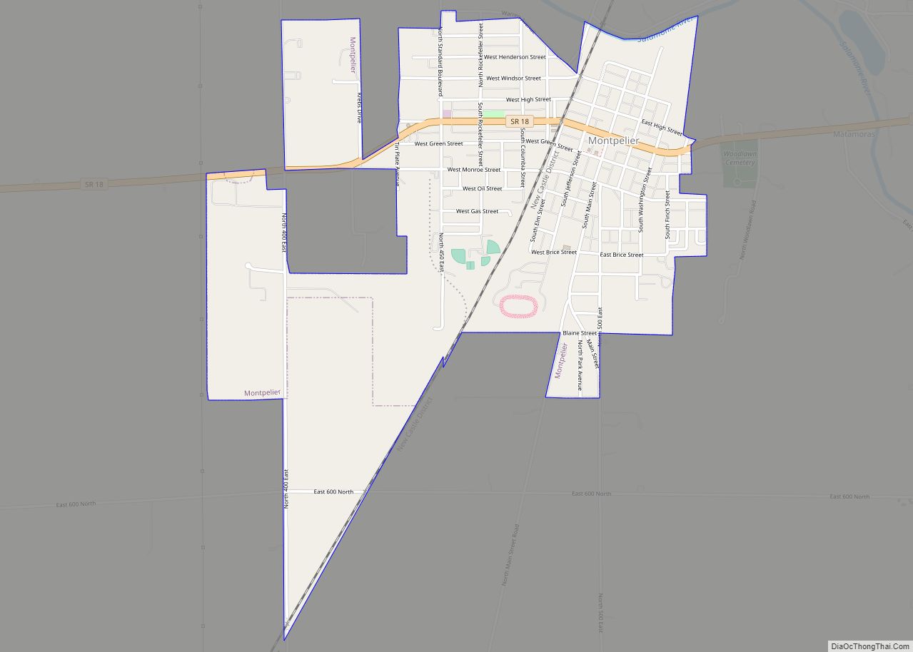
- Montpelier
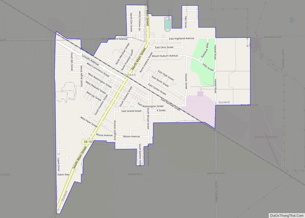
- Dunkirk (mostly located in adjacent Jay County)
Towns
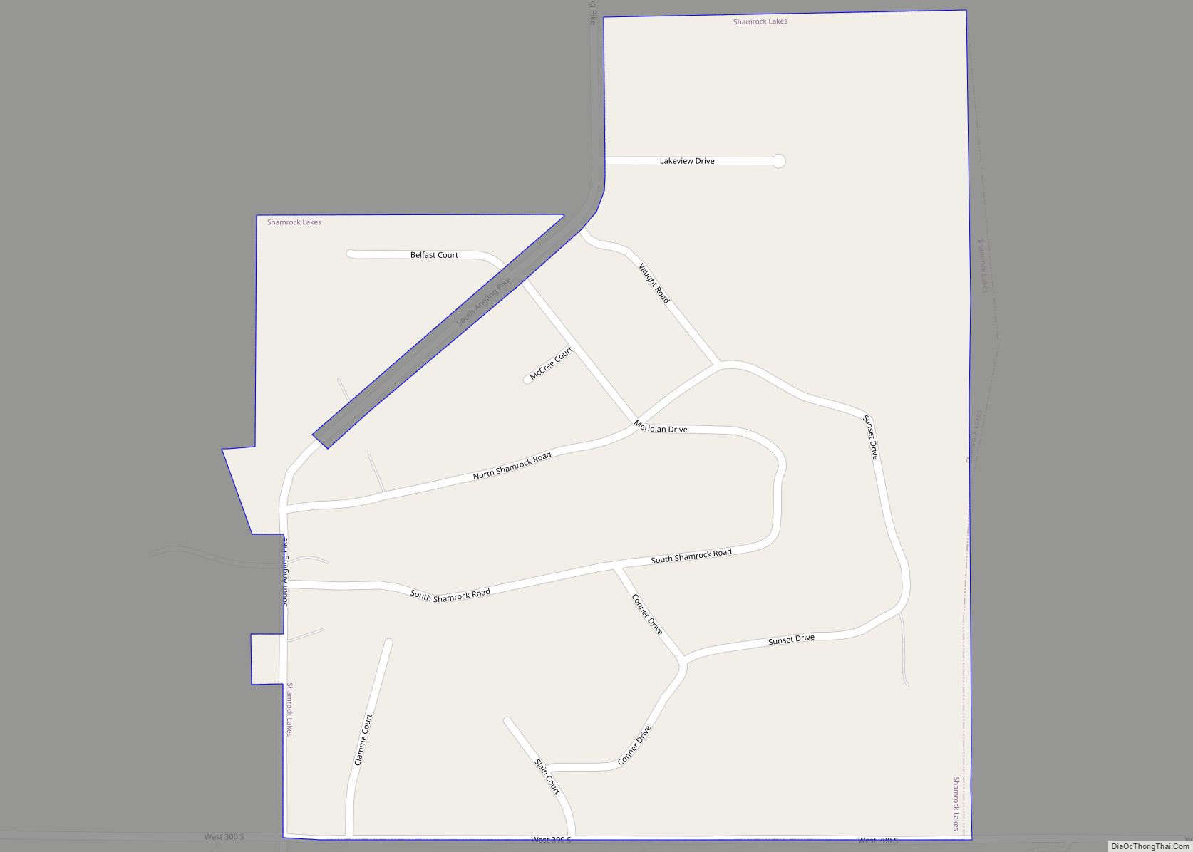
- Shamrock Lakes (incorporated May 21, 1973)
Unincorporated communities
- Converse (formerly named Crumley’s Crossing)
- Matamoras
- Millgrove
- Roll (formerly named Dundee)
- Trenton (former post office named Priam)
These communities are sometimes listed as ghost towns, most businesses in these communities have closed. However, residences are still maintained in these communities, and they are listed as populated places by the U.S. Geological Survey. Millgrove, Roll, and Trenton all had post offices during the 19th or 20th century.
Blackford County has over 10 communities that do not exist anymore. In some cases, a church, farm or single residence remains at the extinct community’s location. Among these former communities, Bowser Station, Dorsey Station, Mollie, Silas, and Slocum all had post offices during the 19th century. Mollie’s post office lasted until 1907.
- Bowser Station—This community was a railroad stop in southern Licking Township, and had a post office during the 1870s.
- Dorsey Station—This Harrison Township community was a railroad stop, and had a post office during the 1870s.
- Frog Alley—This Washington Township community had a church and school. “Frog Alley” arose because of the swampy condition of the area. The school, which began in 1863, lasted until 1923.
- Greenland—Located in Harrison Township at 400 North and 600 East.
- Little Chicago—Located in northwest corner of Harrison Township, and in Wells County.
- Mollie—This community thrived in the 1890s as a railroad stop with a grain elevator, post office, and general store. The Harrison Township oil fields were located nearby.
- Pleasantdale—Located in Harrison Township, at 300 North and 600 East.
- Renner (Licking Township) – a railroad stop at the Renner Stock Farm. Housing for the farm’s employees was also located there. It thrived from the 1890s until the 1920s. Renner is still listed as a populated place by the U.S. Geological Survey, but its “population” is a farm.
- Silas— (Washington Township) – the land was purchased in 1848, and the owner established a church and school. By 1880, a general store was established at that location, and its owner was community namesake Silas Rayl. During the first decade of the 20th century, the Silas general store closed, contributing to the demise of the community.
- Slocum (southeastern Harrison Township, exact location not known) – had a post office 1886–1902.
- Luck (Harrison Township at 250 North and 800 East)
- Winterhurst (Licking Township, at 200 South and 0.5 miles (0.80 km) East)
Blackford County Topographic Map
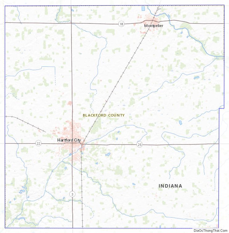
Blackford County Satellite Map
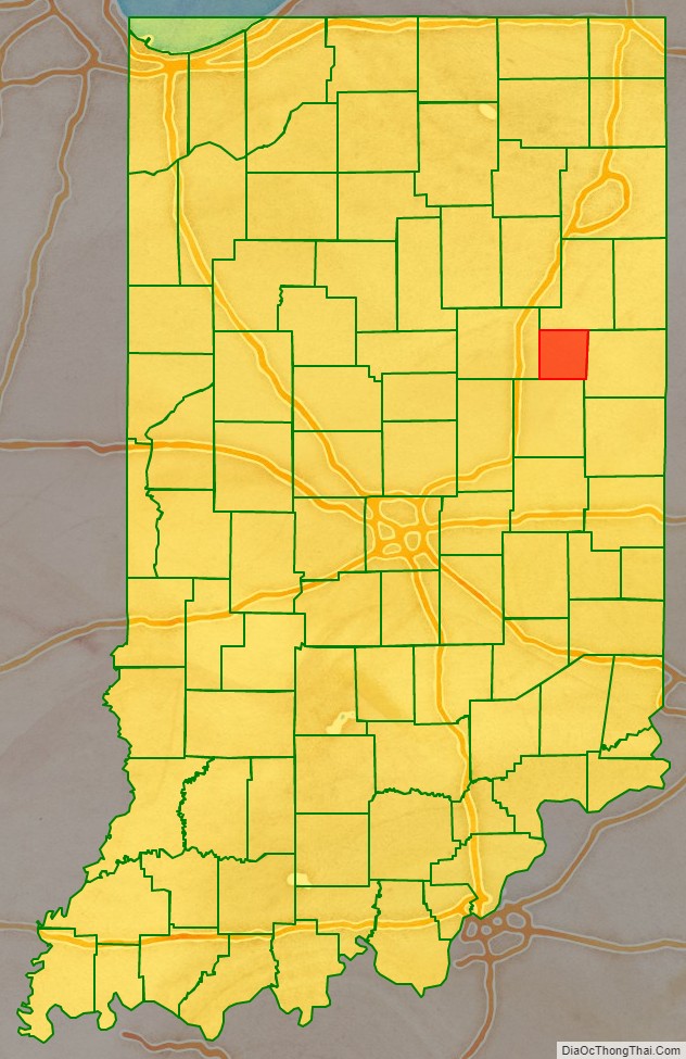
Blackford County Outline Map