Warsaw is a city in and the county seat of Kosciusko County, Indiana, United States. Warsaw has a population of 15,804 as of the 2020 U.S. Census. Warsaw also borders a smaller town, Winona Lake.
| Name: | Warsaw city |
|---|---|
| LSAD Code: | 25 |
| LSAD Description: | city (suffix) |
| State: | Indiana |
| County: | Kosciusko County |
| Elevation: | 823 ft (251 m) |
| Total Area: | 14.75 sq mi (38.22 km²) |
| Land Area: | 13.40 sq mi (34.70 km²) |
| Water Area: | 1.36 sq mi (3.52 km²) |
| Total Population: | 15,804 |
| Population Density: | 1,179.58/sq mi (455.44/km²) |
| Area code: | 574 |
| FIPS code: | 1880306 |
| GNISfeature ID: | 445487 |
| Website: | warsaw.in.gov |
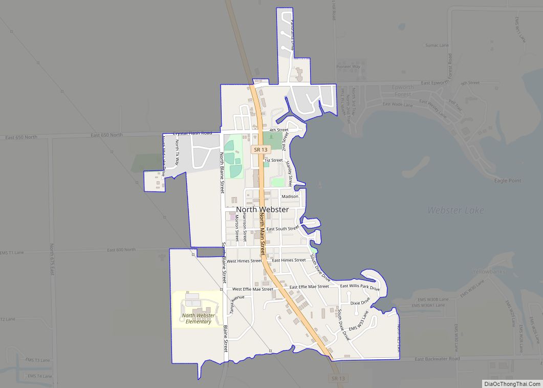
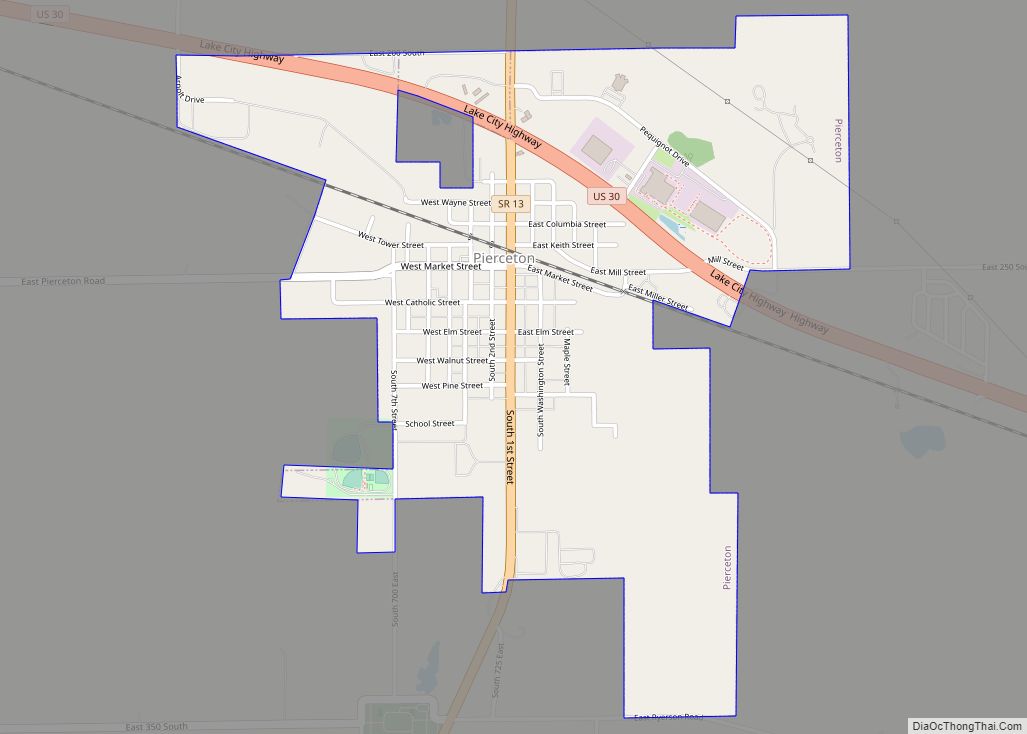
Online Interactive Map
Click on ![]() to view map in "full screen" mode.
to view map in "full screen" mode.
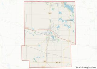
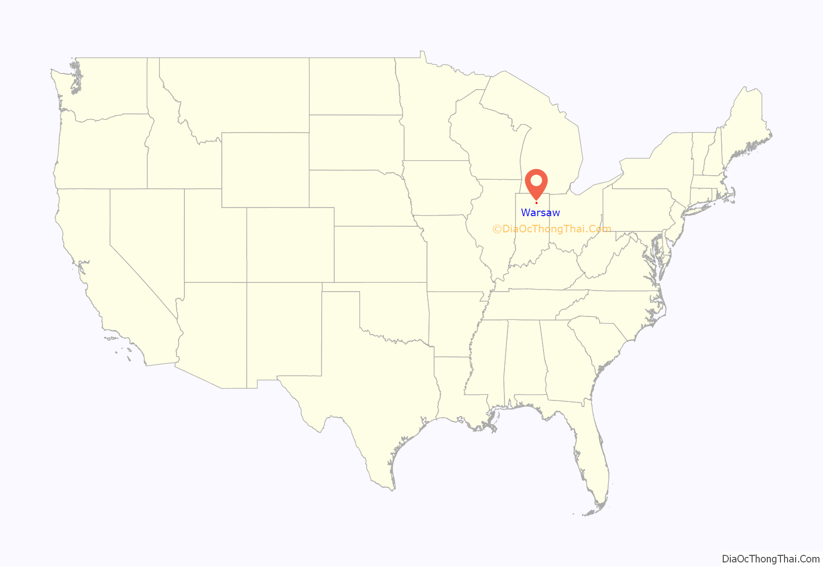
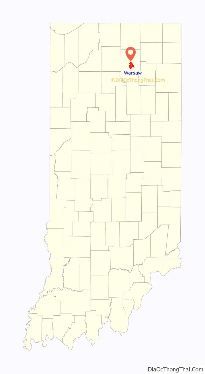
Warsaw location map. Where is Warsaw city?
History
Early Warsaw saw traders, trappers, and merchants supplying manufactured goods to area farmers. Because of the central location in the lake region, tourists soon began visiting Warsaw and eventually made permanent residences in the city, with industry soon following.
In March 1854, Warsaw became a town, and the initial census on February 2, 1854, showed a total of 752 residents in the town limits. The Pennsylvania Railroad (then known as the Pittsburgh, Fort Wayne, and Chicago Railroad) reached Warsaw in November 1854. The Big Four Railroad (Cleveland, Cincinnati, Chicago, and St Louis) arrived in Warsaw in August 1870.
Gas lights were installed in August 1880. Telephone lines were strung in 1882, with Dr. Eggleston having the first phone. The waterworks were constructed in 1885. Gas was supplemented with electricity in 1897, but gas was still used in many homes until 1915.
In 1895, Revra DePuy founded DePuy Manufacturing in Warsaw to make wire mesh and wooden splints, becoming the world’s first manufacturer of orthopedic appliances. In 1905, DePuy hired Justin Zimmer as a splint salesman. Zimmer broke away from DePuy in 1927 to start his own orthopedic company with Joe Ettinger in the basement of Ettinger. Warsaw is now known as the “orthopaedic capital of the world.”
The Warsaw-based East Fort Wayne Street Historic District, Kosciusko County Jail, Warsaw Courthouse Square Historic District, Warsaw Cut Glass Company, and Justin Zimmer House are listed on the National Register of Historic Places.
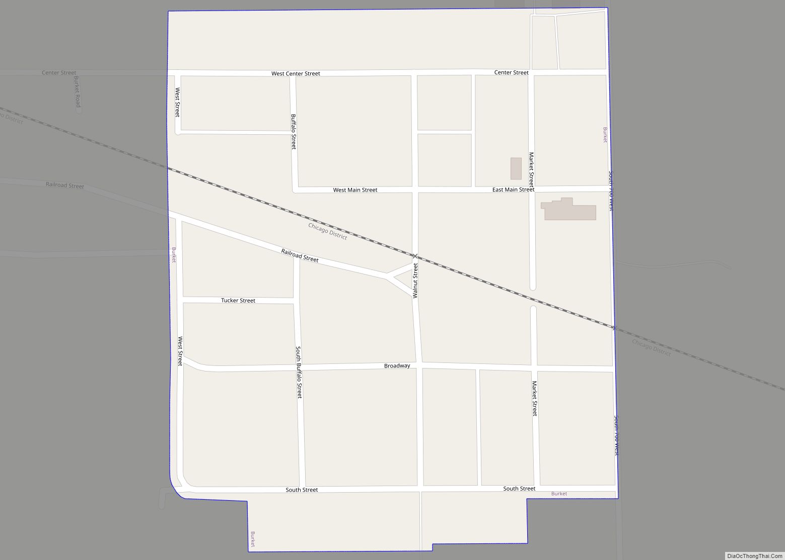
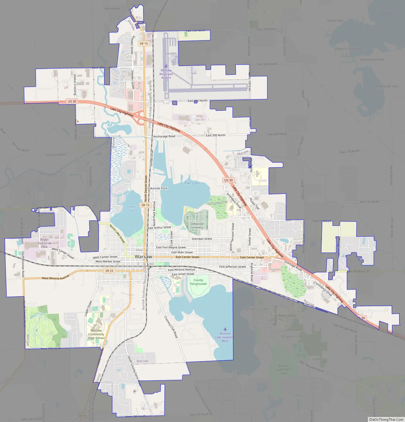
Warsaw Road Map
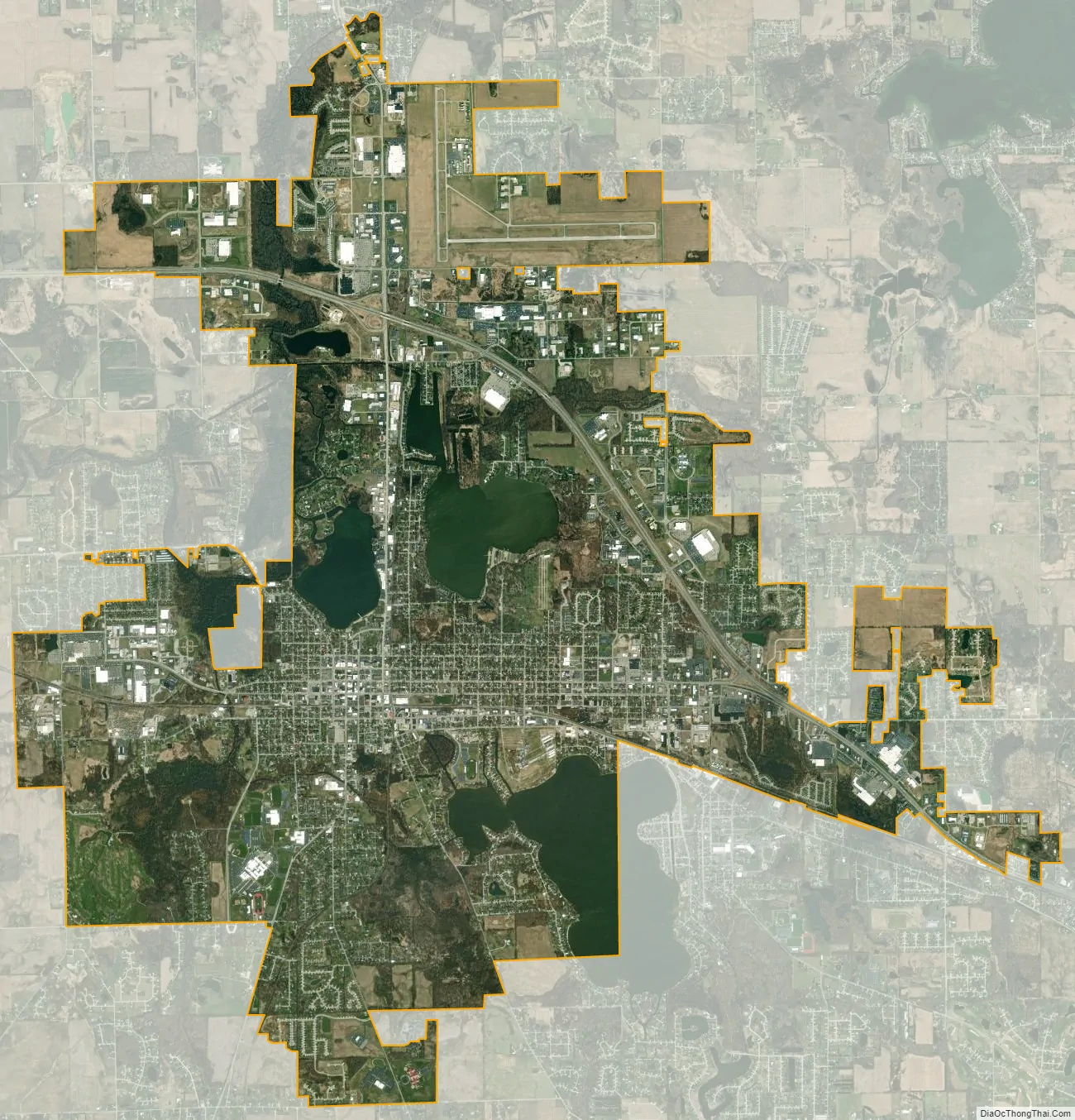
Warsaw city Satellite Map
Geography
Warsaw is located at 41°14′26″N 85°50′49″W / 41.24056°N 85.84694°W / 41.24056; -85.84694 (41.240564, -85.847002) and occupies the area between Pike Lake, Hidden Lake and Center Lake (to the north) and Winona Lake (to the southeast). The Tippecanoe River passes through the West portion of Warsaw. U.S. Route 30 and Indiana State Road 15 both pass through town, while Indiana State Road 25 begins on West Market Street while traffic is routed to West Winona Avenue along with State Road 15 after US Route 30 bypassed the downtown area.
According to the 2010 census, Warsaw has a total area of 12.918 square miles (33.46 km), of which 11.58 square miles (29.99 km) (or 89.64%) is land and 1.338 square miles (3.47 km) (or 10.36%) is water.
See also
Map of Indiana State and its subdivision:- Adams
- Allen
- Bartholomew
- Benton
- Blackford
- Boone
- Brown
- Carroll
- Cass
- Clark
- Clay
- Clinton
- Crawford
- Daviess
- De Kalb
- Dearborn
- Decatur
- Delaware
- Dubois
- Elkhart
- Fayette
- Floyd
- Fountain
- Franklin
- Fulton
- Gibson
- Grant
- Greene
- Hamilton
- Hancock
- Harrison
- Hendricks
- Henry
- Howard
- Huntington
- Jackson
- Jasper
- Jay
- Jefferson
- Jennings
- Johnson
- Knox
- Kosciusko
- LaGrange
- Lake
- Lake Michigan
- LaPorte
- Lawrence
- Madison
- Marion
- Marshall
- Martin
- Miami
- Monroe
- Montgomery
- Morgan
- Newton
- Noble
- Ohio
- Orange
- Owen
- Parke
- Perry
- Pike
- Porter
- Posey
- Pulaski
- Putnam
- Randolph
- Ripley
- Rush
- Saint Joseph
- Scott
- Shelby
- Spencer
- Starke
- Steuben
- Sullivan
- Switzerland
- Tippecanoe
- Tipton
- Union
- Vanderburgh
- Vermillion
- Vigo
- Wabash
- Warren
- Warrick
- Washington
- Wayne
- Wells
- White
- Whitley
- Alabama
- Alaska
- Arizona
- Arkansas
- California
- Colorado
- Connecticut
- Delaware
- District of Columbia
- Florida
- Georgia
- Hawaii
- Idaho
- Illinois
- Indiana
- Iowa
- Kansas
- Kentucky
- Louisiana
- Maine
- Maryland
- Massachusetts
- Michigan
- Minnesota
- Mississippi
- Missouri
- Montana
- Nebraska
- Nevada
- New Hampshire
- New Jersey
- New Mexico
- New York
- North Carolina
- North Dakota
- Ohio
- Oklahoma
- Oregon
- Pennsylvania
- Rhode Island
- South Carolina
- South Dakota
- Tennessee
- Texas
- Utah
- Vermont
- Virginia
- Washington
- West Virginia
- Wisconsin
- Wyoming