Lac qui Parle County (/læk kiː ˈpɑːrl/) is a county in the U.S. state of Minnesota. As of the 2020 census, the population was 6,719. Its county seat is Madison. The largest city in the county is Dawson.
| Name: | Lac qui Parle County |
|---|---|
| FIPS code: | 27-073 |
| State: | Minnesota |
| Founded: | March 6, 1871 |
| Named for: | “Lake that speaks” French |
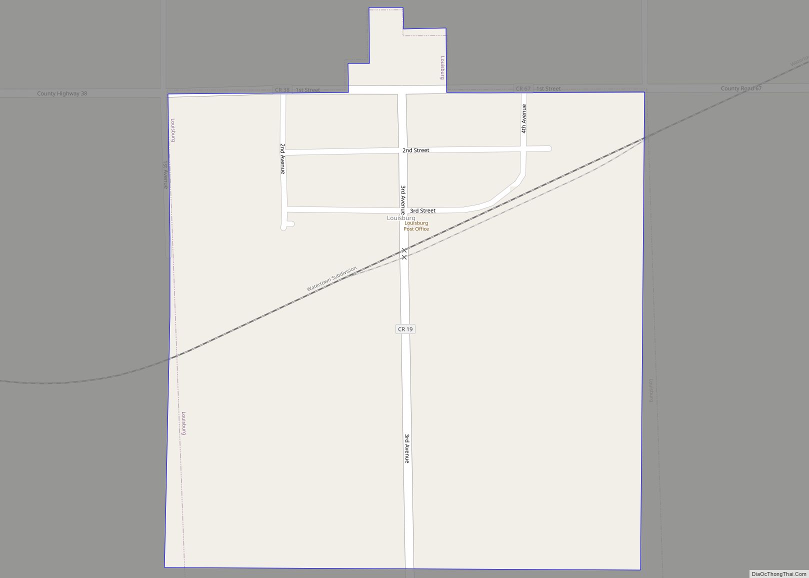
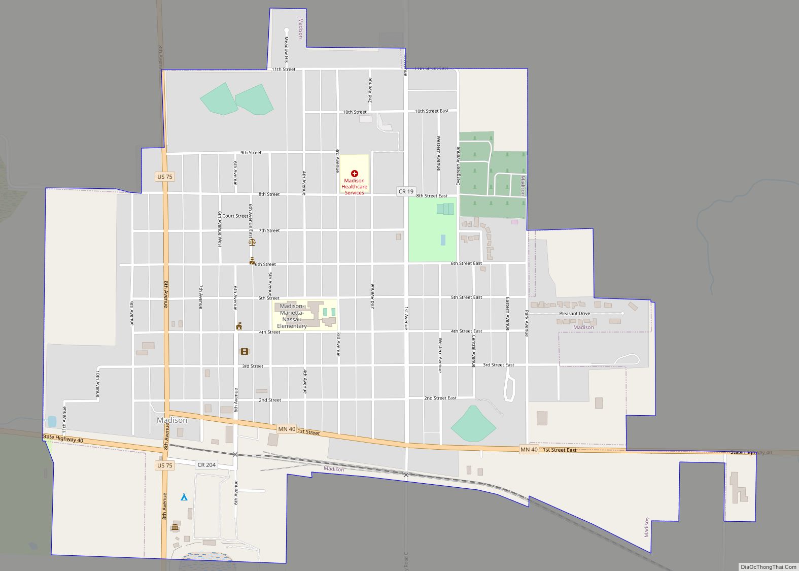
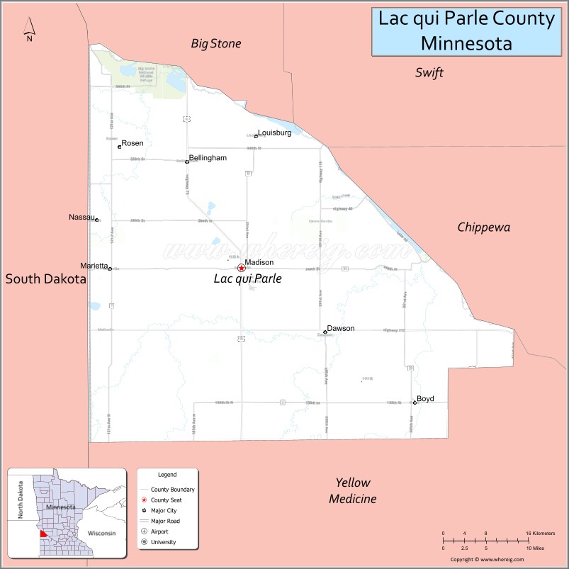
| Seat: | Madison |
| Largest city: | Dawson |
| Total Area: | 778 sq mi (2,020 km²) |
| Land Area: | 765 sq mi (1,980 km²) |
| Total Population: | 6,719 |
| Population Density: | 8.8/sq mi (3.4/km²) |
| Time zone: | UTC−6 (Central) |
| Summer Time Zone (DST): | UTC−5 (CDT) |
| Website: | lqpco.com |
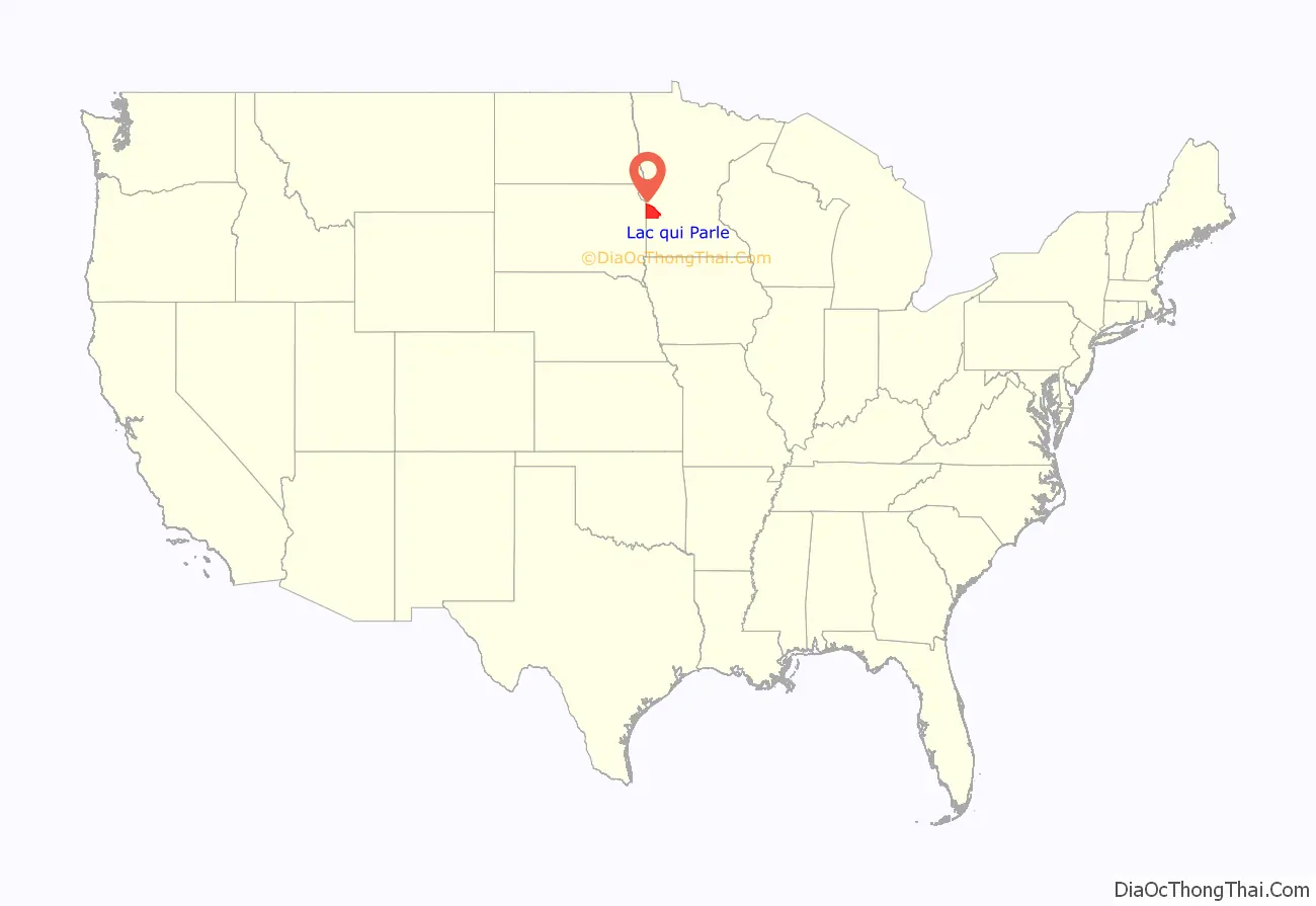
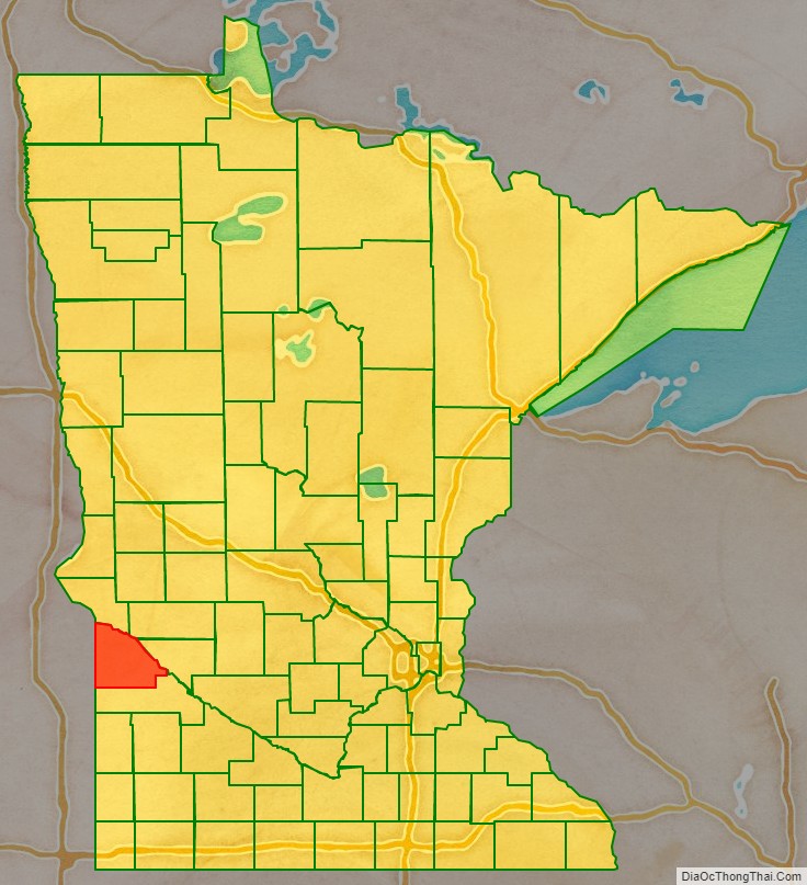
Lac qui Parle County location map. Where is Lac qui Parle County?
History
The name of the county is French for “Lake who speaks.”
In 1862 the Minnesota legislature authorized creation of a county to be called Lac qui Parle on an area north of the Minnesota River. However, that initiative was not approved by the local voters affected, so the proposed county did not come into existence. Nine years later (March 6, 1871) the legislature authorized creation of the present Lac qui Parle County, south of the Minnesota River, and it was approved by local voters. The county seat was established at Lac qui Parle village.
In 1884 a settlement was platted at the railway stop in Madison Township (named for Madison, Wisconsin). The settlement, also named Madison, was incorporated in 1885, and in 1889 the county government was moved from Lac qui Parle village to this new town, which incorporated as a city in 1902.
In 1886, a county-wide election chose Madison as the county seat. 150 men and 40 teams of horses rode to Lac qui Parle village, where the town hall was at the time, and dragged the building to Madison.
A new county courthouse was built in Madison in 1899, and in 1903 the Madison City Hall was completed. A total of four fires swept the city’s main area during the early years of the twentieth century, resulting in most wood structures in the area being replaced with brick buildings.
A March 2011 study by the University of Wisconsin–Madison and the Robert Wood Johnson Foundation ranked this as Minnesota’s healthiest county.
The county reached its peak population of 15,554 in 1920. However, the county seat continued its population growth until 1960, when 2,380 residents were counted.
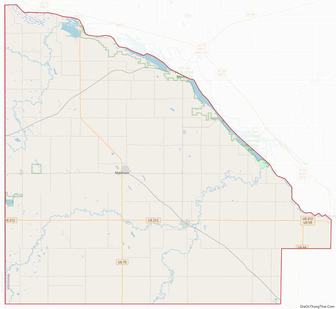
Lac qui Parle County Road Map
Geography
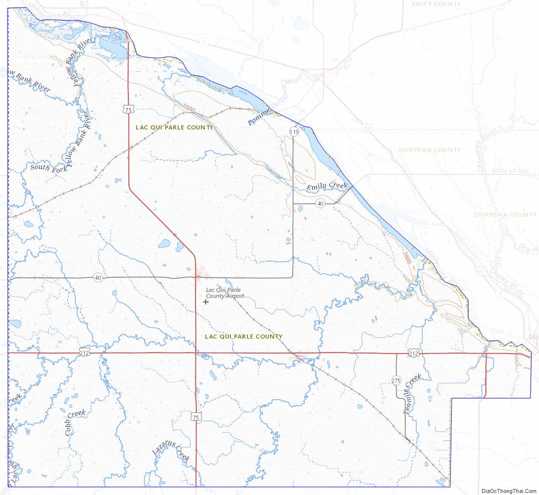
Lac qui Parle County is on the west side of Minnesota. Its west border abuts the east border of the state of South Dakota. The Minnesota River flows southeastward along the county’s NE border, creating Marsh Lake and Lac qui Parle Reservoir The Minnesota River flow is augmented by Yellow Bank River near the county’s north corner, and by Lac qui Parle River near the county’s east border. The south fork of the Yellow Bank flows northward through the west portion of the county, and meets the north fork of the Yellow Bank in the north end of the county; the combined flow discharges into the Minnesota at the county’s NE border. The Lac qui Parle flows eastward through the lower portion of the county, discharging into the Minnesota near the community of Lac qui Parle.
The county terrain consists of rolling hills, knolls and short bluffs near the west end, running to a steep bluff overlooking the Minnesota River valley on its east border. The area is largely devoted to agriculture. The terrain slopes to the north and east, with its highest point near its SW corner, at 1,404′ (428m) ASL. The county has a total area of 778 square miles (2,020 km), of which 765 square miles (1,980 km) is land and 13 square miles (34 km) (1.7%) is water.
The county’s northern boundary is defined by the Minnesota River. Two tributaries, the Lac qui Parle River and the Yellow Bank River, flow through the county to discharge into the Minnesota.
Lakes
- Bolland Slough
- Case Lake
- Flinks Slough (part)
- Kibler Lake
- Lac qui Parle (adjacent to county)
- Marsh Lake (adjacent to county)
- Mud Lake
- Pegg Lake
- Salt Lake (part)
- Swanson Lake
Major highways
- U.S. Highway 75
- U.S. Highway 212
- Minnesota State Highway 40
- Minnesota State Highway 119
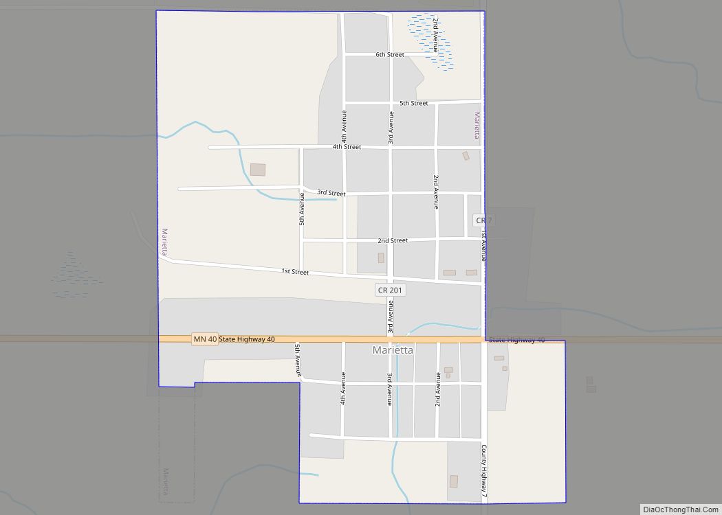
Adjacent counties
- Big Stone County – north
- Swift County – northeast
- Chippewa County – east
- Yellow Medicine County – south
- Deuel County, South Dakota – southwest
- Grant County, South Dakota – northwest
Protected areas
- Acton Marsh State Wildlife Management Area
- Big Stone National Wildlife Refuge (part)
- Borchardt-Rosin State Wildlife Management Area
- Church State Wildlife Management Area
- De Vorak State Wildlife Management Area
- Flinks State Wildlife Management Area
- Haydenville State Wildlife Management Area
- Kemen State Wildlife Management Area
- Kibler Scientific and Natural Area
- Lac qui Parle State Park
- Medicine Pipe State Wildlife Management Area
- Plantation State Wildlife Management Area
- Providence State Wildlife Management Area
- Sweetwater State Wildlife Management Area
- Wild Wings Baxter State Wildlife Management Area
- Yellow Bank Hills Scientific and Natural Area
Lac qui Parle County Topographic Map
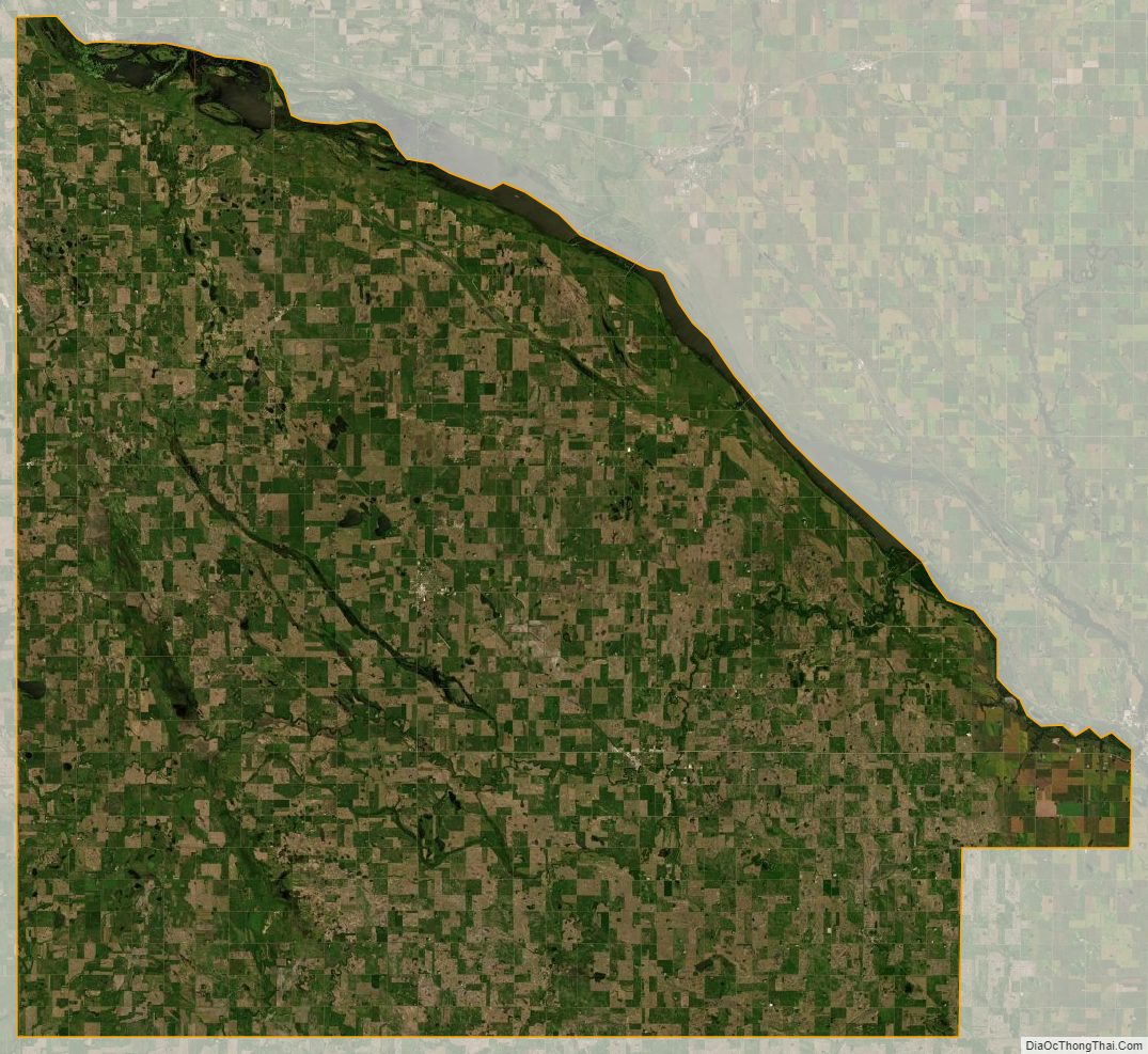
Lac qui Parle County Satellite Map
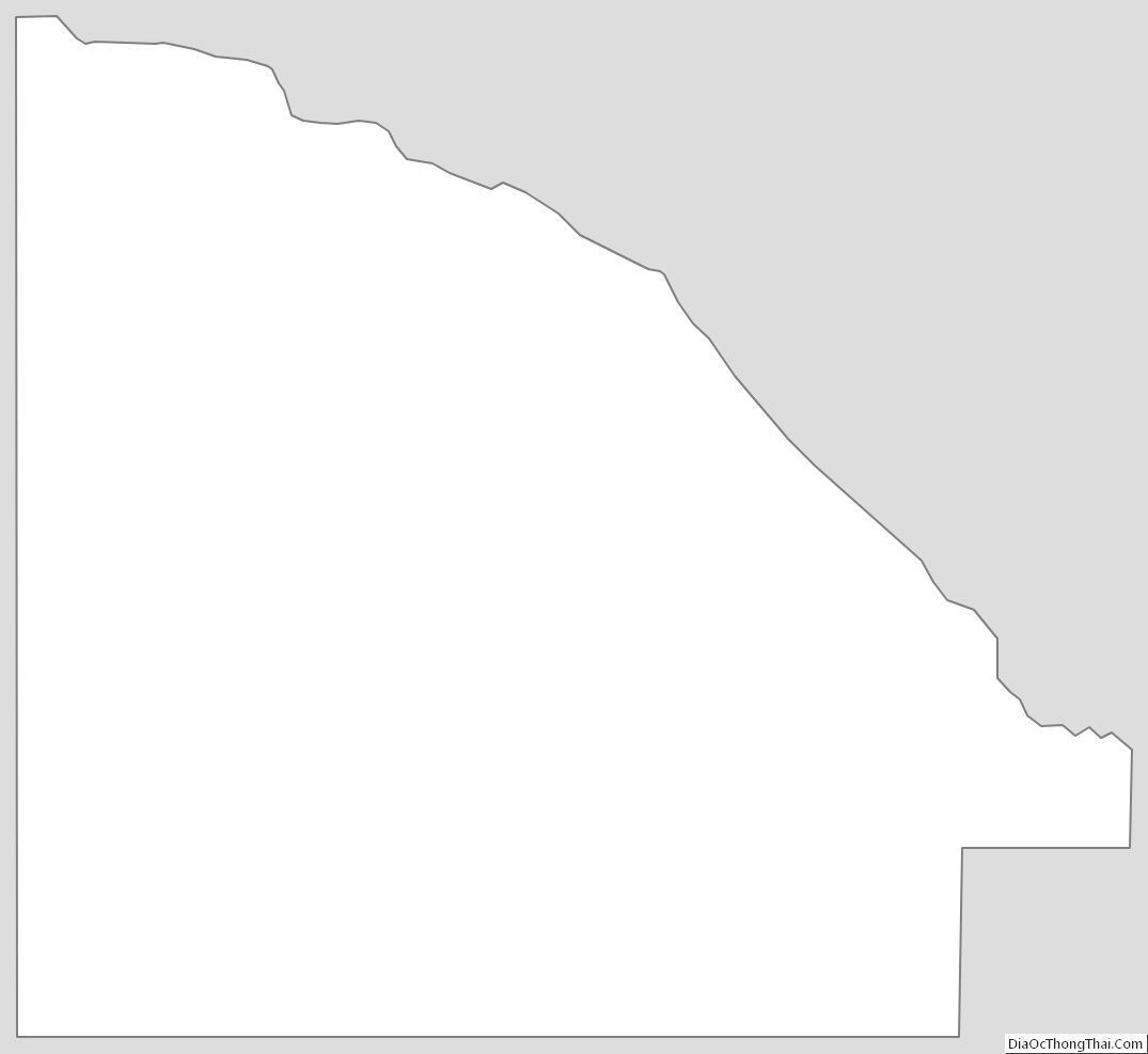
Lac qui Parle County Outline Map