Madison is a city in Lac qui Parle County, Minnesota, United States, along the 45th parallel. The population was 1,518 at the 2020 census. It is the county seat of Lac qui Parle County. It proclaims itself to be the “lutefisk capital of the USA.”
| Name: | Madison city |
|---|---|
| LSAD Code: | 25 |
| LSAD Description: | city (suffix) |
| State: | Minnesota |
| County: | Lac qui Parle County |
| Elevation: | 1,089 ft (332 m) |
| Total Area: | 1.05 sq mi (2.72 km²) |
| Land Area: | 1.05 sq mi (2.72 km²) |
| Water Area: | 0.00 sq mi (0.00 km²) |
| Total Population: | 1,518 |
| Population Density: | 1,445.71/sq mi (558.28/km²) |
| ZIP code: | 56256 |
| Area code: | 320 |
| FIPS code: | 2739266 |
| GNISfeature ID: | 0647361 |
| Website: | ci.madison.mn.us |
Online Interactive Map
Click on ![]() to view map in "full screen" mode.
to view map in "full screen" mode.
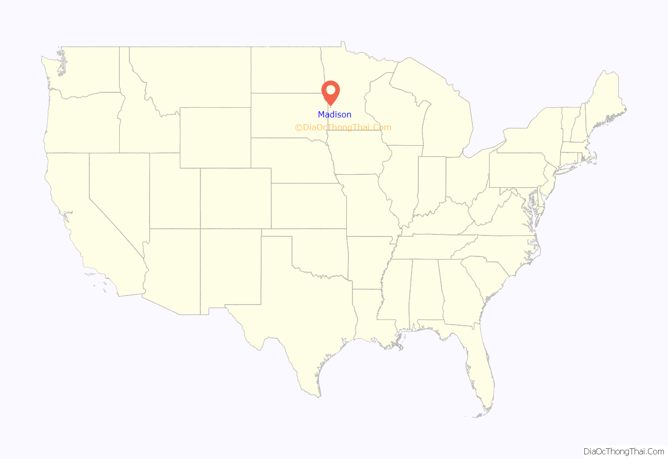
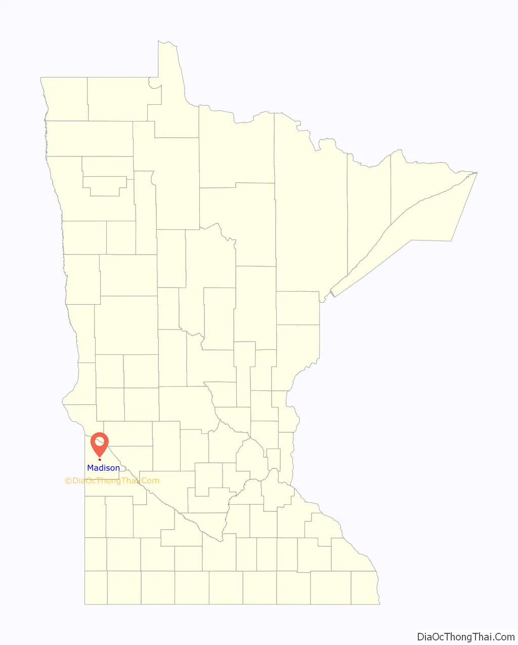
Madison location map. Where is Madison city?
History
Madison was platted in 1884, and named after Madison, Wisconsin. A post office has been in operation at Madison since 1884.
The Madison City Council proposed that the city should be named the Lutefisk Capital of the United States in 1982, and the Madison Chamber of Commerce funded the construction of a 25 ft (7.6 m) fiberglass cod nicknamed Lou T. Fisk, which welcomes visitors.
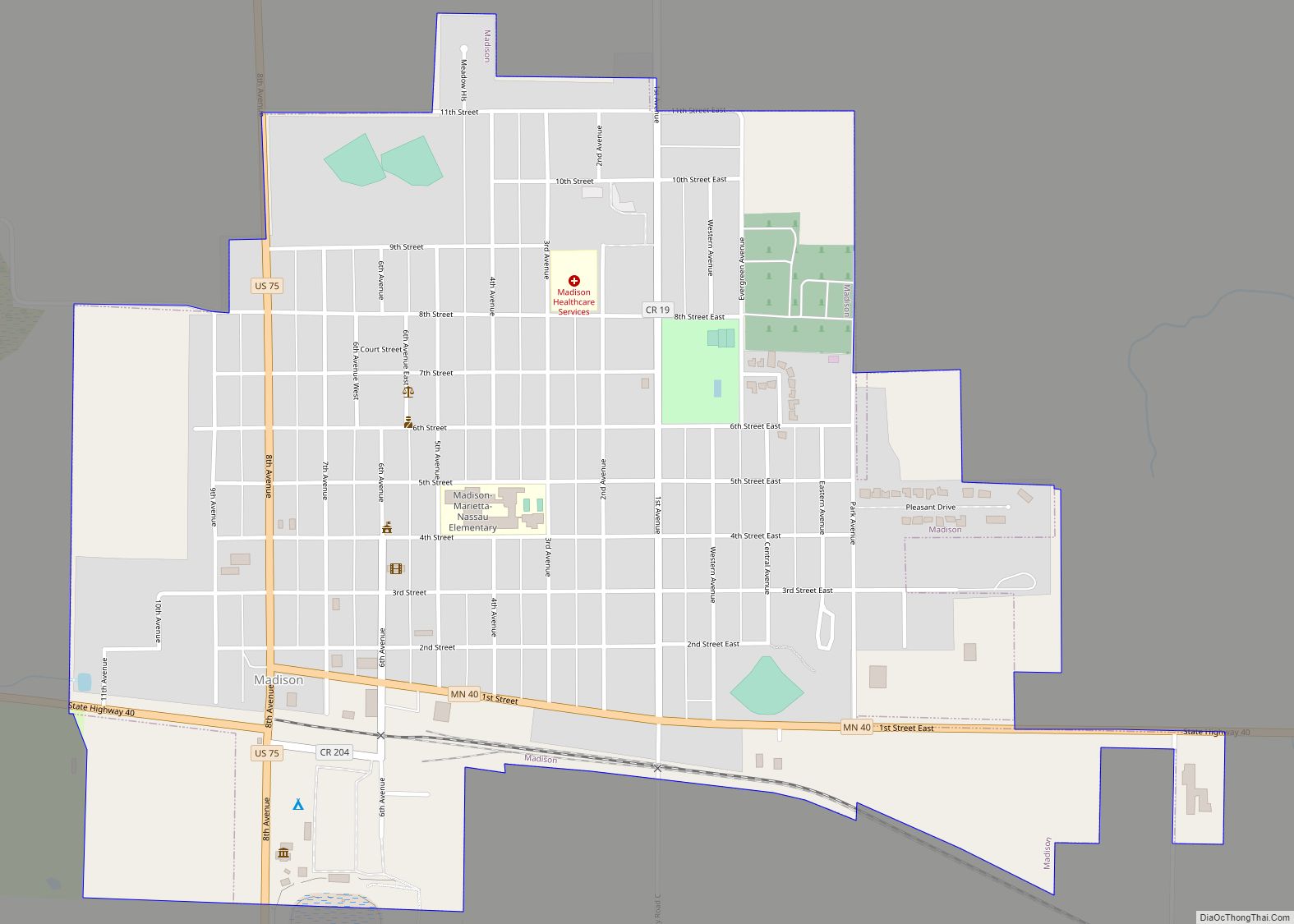
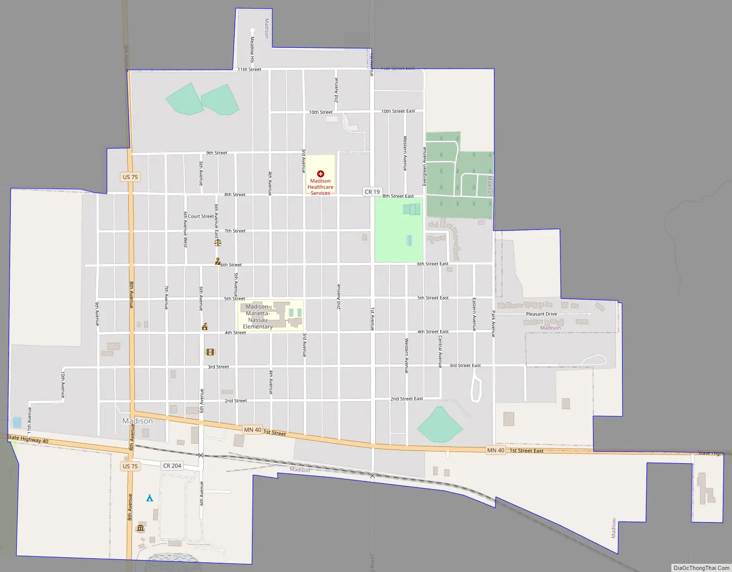
Madison Road Map
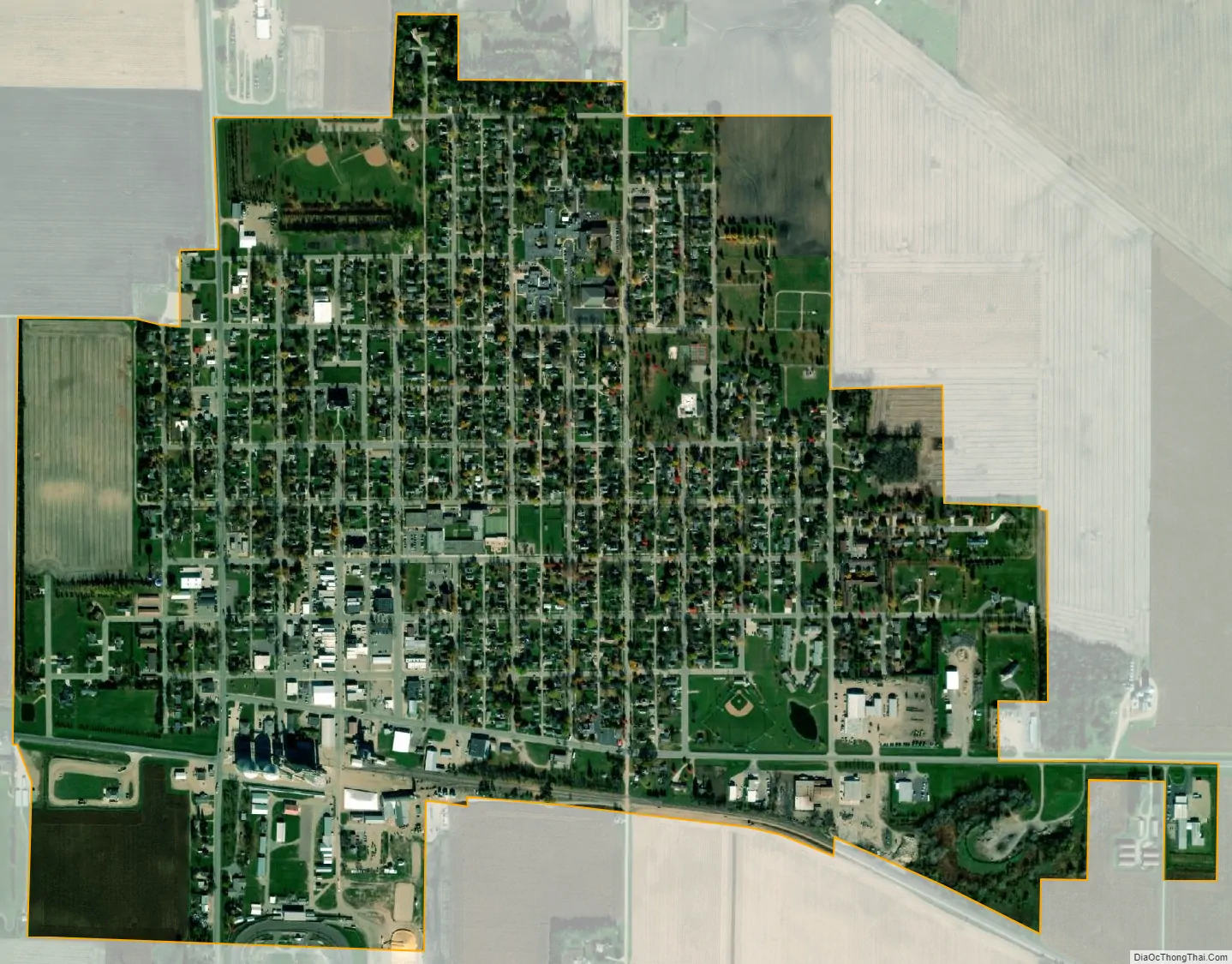
Madison city Satellite Map
Geography
According to the United States Census Bureau, the city has a total area of 1.05 square miles (2.72 km), all land.
U.S. Highway 75 and Minnesota State Highway 40 are two of the main routes in the city.
See also
Map of Minnesota State and its subdivision:- Aitkin
- Anoka
- Becker
- Beltrami
- Benton
- Big Stone
- Blue Earth
- Brown
- Carlton
- Carver
- Cass
- Chippewa
- Chisago
- Clay
- Clearwater
- Cook
- Cottonwood
- Crow Wing
- Dakota
- Dodge
- Douglas
- Faribault
- Fillmore
- Freeborn
- Goodhue
- Grant
- Hennepin
- Houston
- Hubbard
- Isanti
- Itasca
- Jackson
- Kanabec
- Kandiyohi
- Kittson
- Koochiching
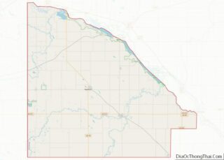
- Lac qui Parle
- Lake
- Lake of the Woods
- Lake Superior
- Le Sueur
- Lincoln
- Lyon
- Mahnomen
- Marshall
- Martin
- McLeod
- Meeker
- Mille Lacs
- Morrison
- Mower
- Murray
- Nicollet
- Nobles
- Norman
- Olmsted
- Otter Tail
- Pennington
- Pine
- Pipestone
- Polk
- Pope
- Ramsey
- Red Lake
- Redwood
- Renville
- Rice
- Rock
- Roseau
- Saint Louis
- Scott
- Sherburne
- Sibley
- Stearns
- Steele
- Stevens
- Swift
- Todd
- Traverse
- Wabasha
- Wadena
- Waseca
- Washington
- Watonwan
- Wilkin
- Winona
- Wright
- Yellow Medicine
- Alabama
- Alaska
- Arizona
- Arkansas
- California
- Colorado
- Connecticut
- Delaware
- District of Columbia
- Florida
- Georgia
- Hawaii
- Idaho
- Illinois
- Indiana
- Iowa
- Kansas
- Kentucky
- Louisiana
- Maine
- Maryland
- Massachusetts
- Michigan
- Minnesota
- Mississippi
- Missouri
- Montana
- Nebraska
- Nevada
- New Hampshire
- New Jersey
- New Mexico
- New York
- North Carolina
- North Dakota
- Ohio
- Oklahoma
- Oregon
- Pennsylvania
- Rhode Island
- South Carolina
- South Dakota
- Tennessee
- Texas
- Utah
- Vermont
- Virginia
- Washington
- West Virginia
- Wisconsin
- Wyoming