Lander County is a county in the U.S. state of Nevada. As of the 2020 census, the population was 5,734. Its county seat is Battle Mountain.
| Name: | Lander County |
|---|---|
| FIPS code: | 32-015 |
| State: | Nevada |
| Founded: | 1862 |
| Named for: | Frederick W. Lander |
| Seat: | Battle Mountain |
| Total Area: | 5,519 sq mi (14,290 km²) |
| Land Area: | 5,490 sq mi (14,200 km²) |
| Total Population: | 5,734 |
| Population Density: | 1.0/sq mi (0.40/km²) |
| Time zone: | UTC−8 (Pacific) |
| Summer Time Zone (DST): | UTC−7 (PDT) |
| Website: | landercountynv.org |
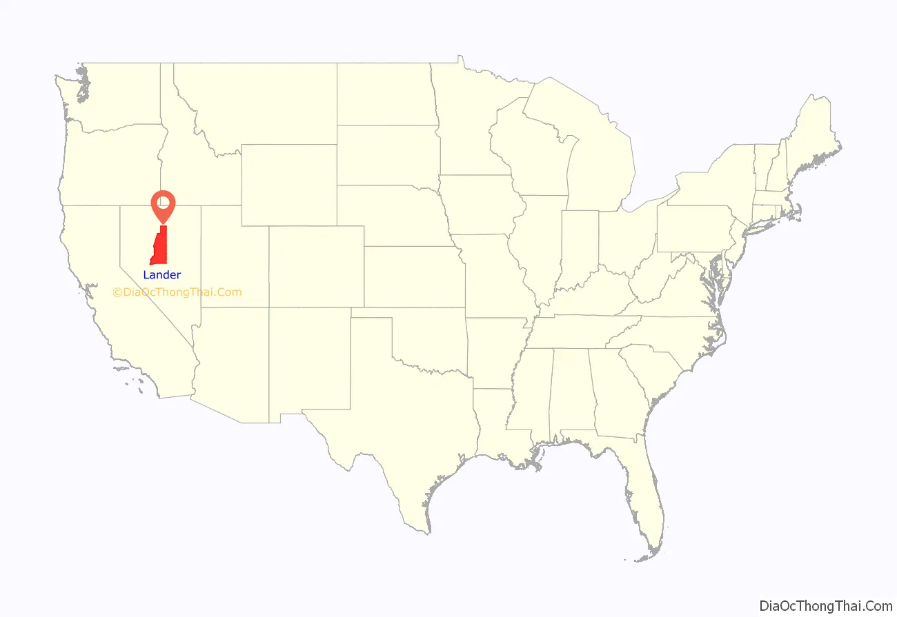
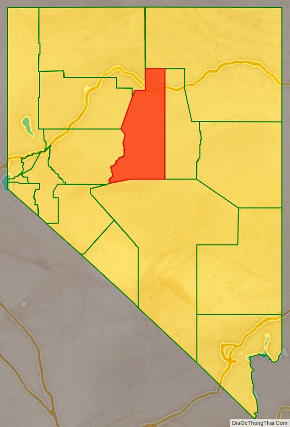
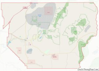
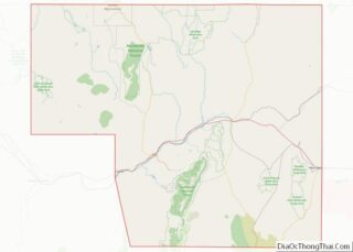
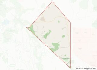
Lander County location map. Where is Lander County?
History
Lander County was created in 1862 as the result of a mining boom on the Reese River along the old pony express line, taking a considerable portion of Churchill and Humboldt counties with it. Named for Frederick W. Lander, chief engineer of a federal wagon route and Special Indian Agent in the area, it was one of the original 11 counties of Nevada when statehood was granted in 1864. Its first county seat was Jacob’s Spring in 1862, which was moved to Austin in 1863, and finally Battle Mountain in 1979. Eventually, Lander County would be known as the “mother of counties”, since three other counties in Nevada were later formed from it: Elko, White Pine, and Eureka.
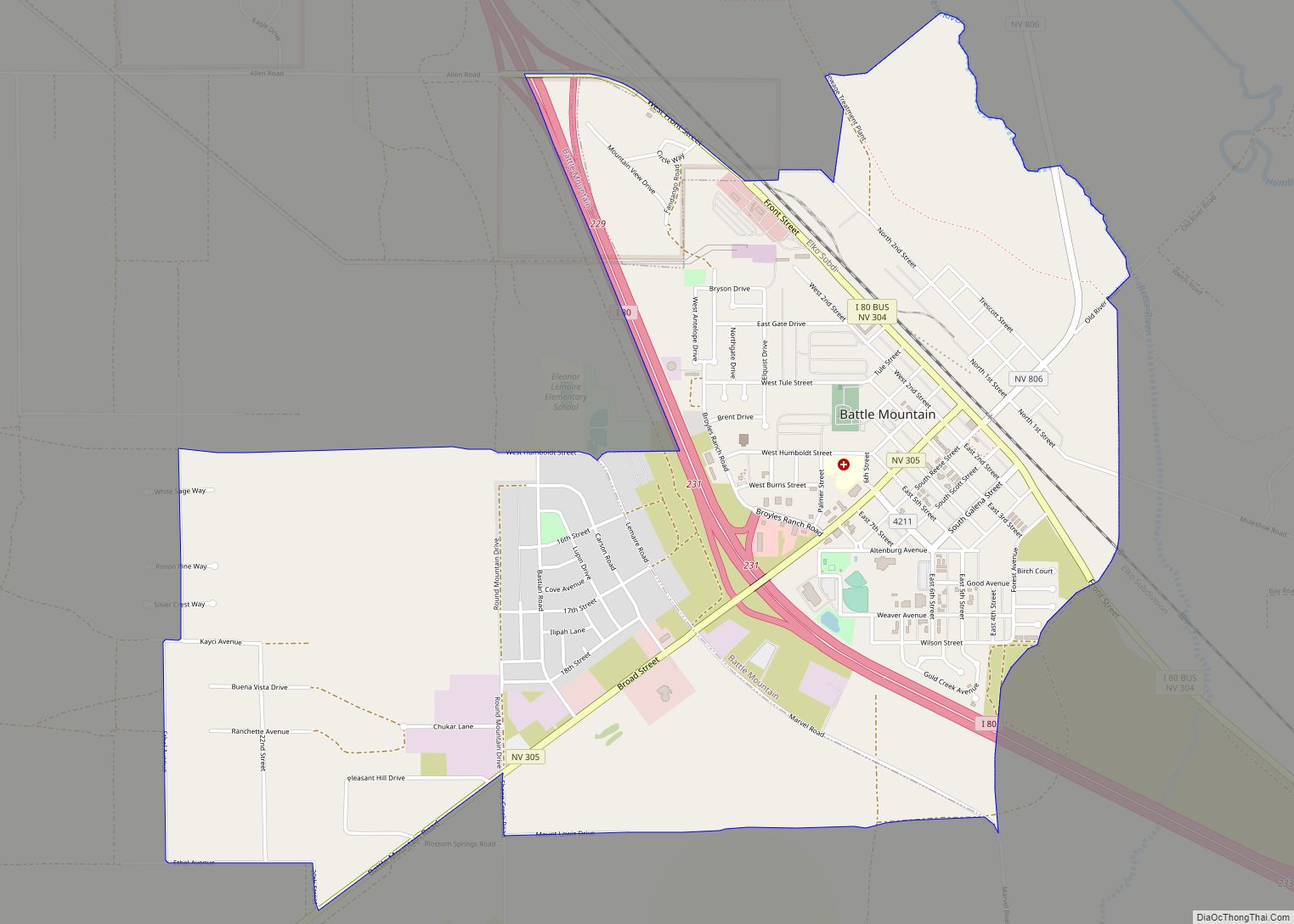
Lander County Road Map
Geography
According to the U.S. Census Bureau, the county has a total area of 5,519 square miles (14,290 km), of which 5,490 square miles (14,200 km) is land and 29 square miles (75 km) (0.5%) is water.
The 11,477 ft (3,498 m) summit of Bunker Hill, located in the Toiyabe Range near the Nye County border, is the highest point in the county; while the county’s most topographically prominent peak is Mount Lewis.
Major highways
- Interstate 80
- Interstate 80 Business (Battle Mountain)
- U.S. Route 50
- State Route 304
- State Route 305
- State Route 306
- State Route 376
- State Route 722
- State Route 806
Adjacent counties
- Elko County – north
- Eureka County – east
- Nye County – south
- Churchill County – west
- Pershing County – west
- Humboldt County – northwest
National protected area
- Toiyabe National Forest (part)
