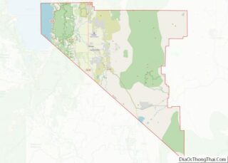
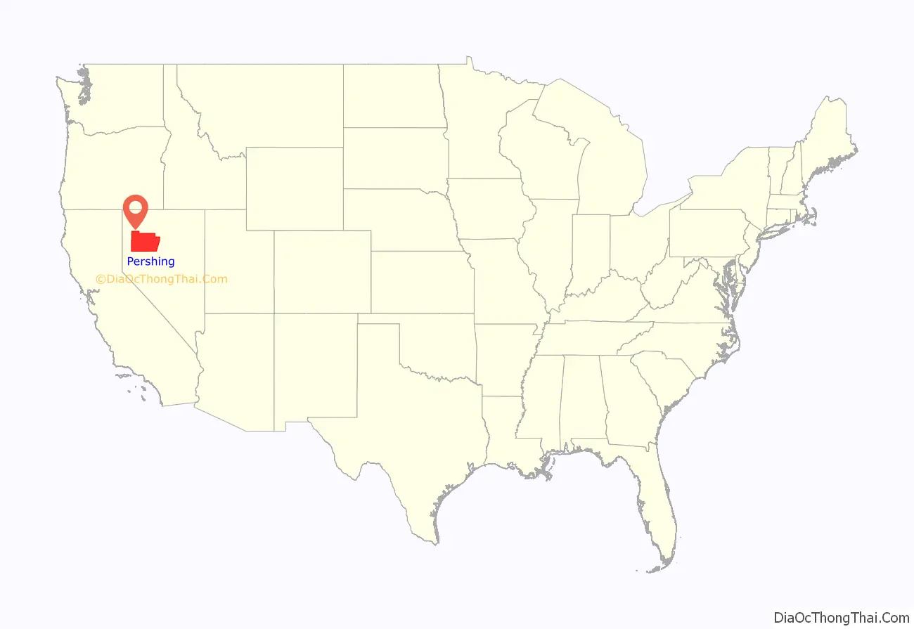
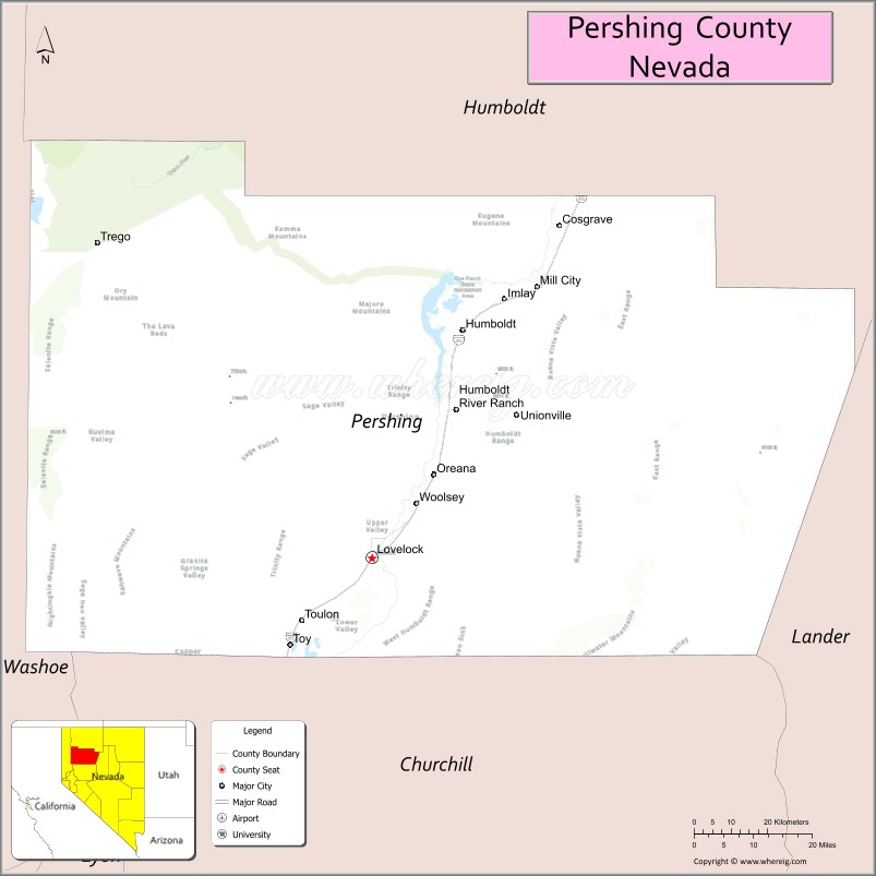
Pershing County is a county in the U.S. state of Nevada. As of the 2020 census, the population was 6,650. Its county seat is Lovelock. The county was named after army general John J. Pershing (1860–1948). It was formed from Humboldt County in 1919, and the last county to be established in Nevada. The Black Rock Desert, location for the annual Burning Man event, is partially in the county. The county is listed as Nevada Historical Marker 17. The marker is at the courthouse in Lovelock.
| Name: | Pershing County |
|---|---|
| FIPS code: | 32-027 |
| State: | Nevada |
| Founded: | 1919 |
| Named for: | John J. Pershing |
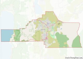
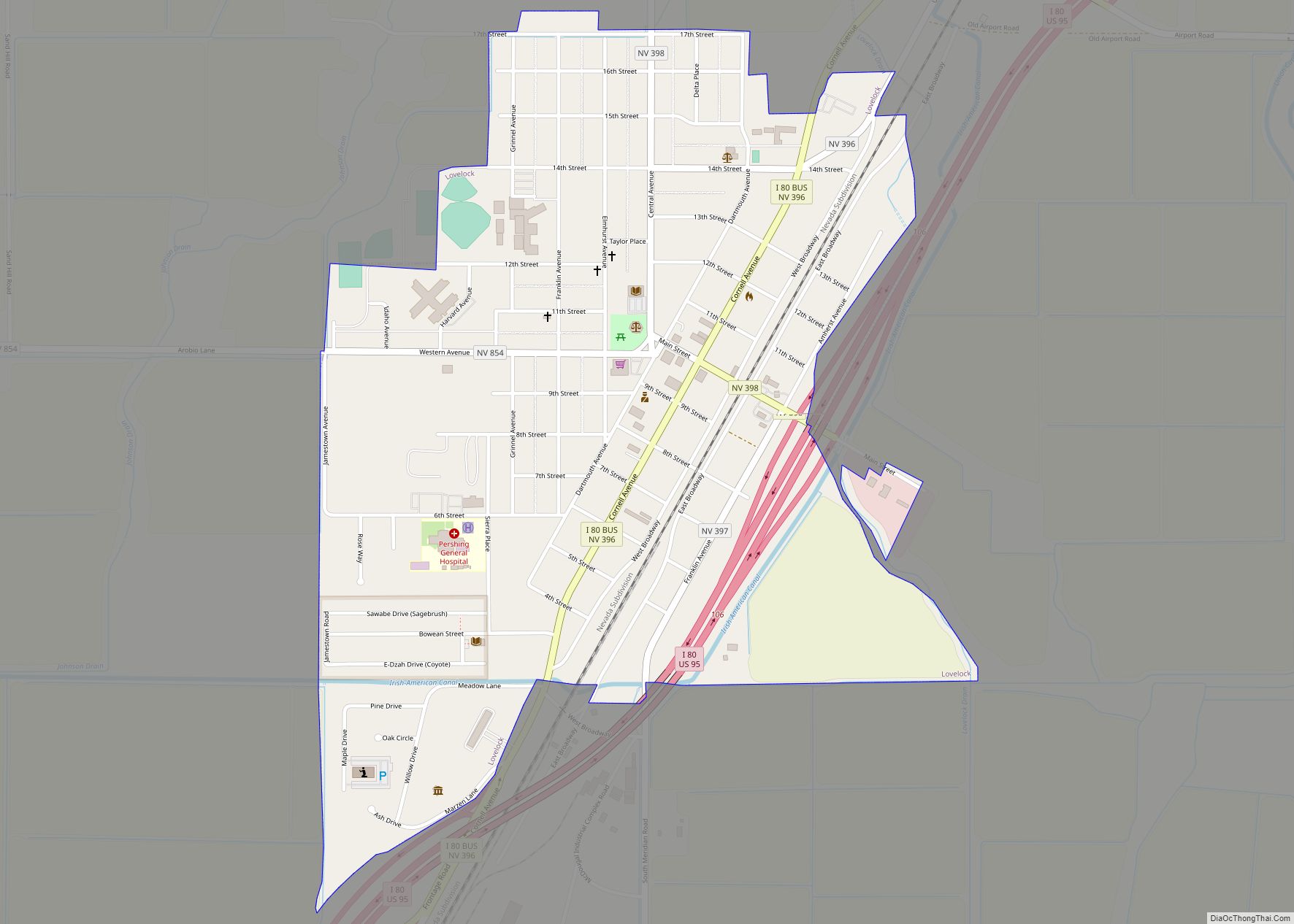
| Seat: | Lovelock |
| Largest city: | Lovelock |
| Total Area: | 6,067 sq mi (15,710 km²) |
| Land Area: | 6,037 sq mi (15,640 km²) |
| Total Population: | 6,650 |
| Population Density: | 1.1/sq mi (0.42/km²) |
| Time zone: | UTC−8 (Pacific) |
| Summer Time Zone (DST): | UTC−7 (PDT) |
| Website: | pershingcounty.net |
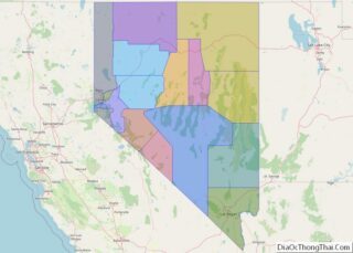
Pershing County location map. Where is Pershing County?
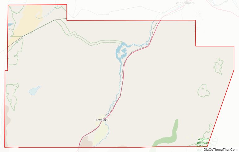
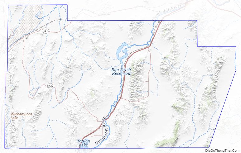
Pershing County Road Map
Geography
According to the U.S. Census Bureau, the county has a total area of 6,067 square miles (15,710 km), of which 6,037 square miles (15,640 km) is land and 31 square miles (80 km) (0.5%) is water. The tallest and most topographically prominent mountain in Pershing County is Star Peak at 9,840 ft (3,000 m).
Major highways
- Interstate 80
- Interstate 80 Business (Lovelock)
- U.S. Route 95
U.S. Route 95 Business (Lovelock)- State Route 396
- State Route 397
- State Route 398
- State Route 399
- State Route 400
- State Route 401
- State Route 854
- State Route 856
- State Route 860
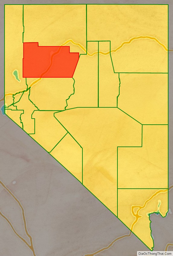
Adjacent counties
- Washoe County – west
- Humboldt County – north
- Lander County – east
- Churchill County – south
National protected area
- Black Rock Desert-High Rock Canyon Emigrant Trails National Conservation Area (part)
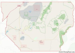
Pershing County Topographic Map
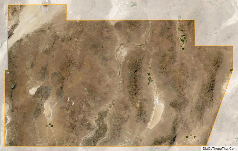
Pershing County Satellite Map
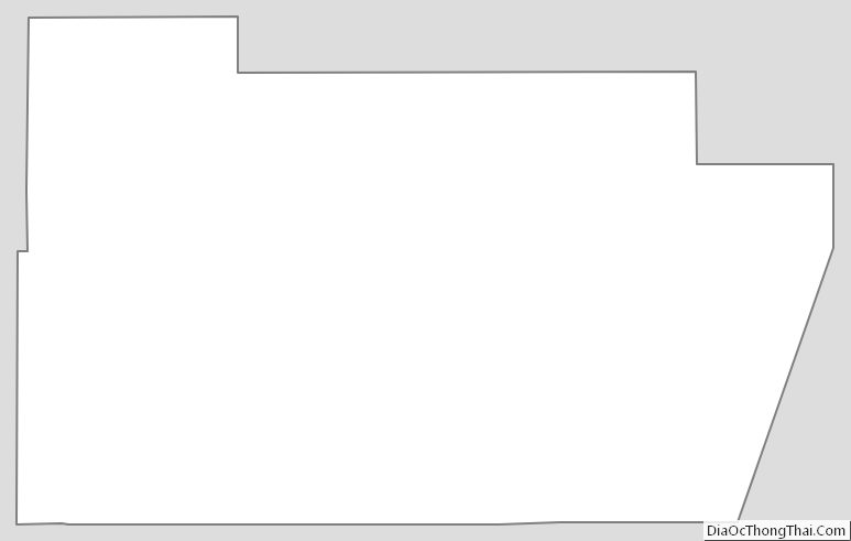
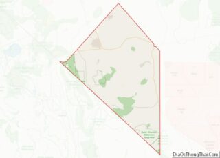
Pershing County Outline Map