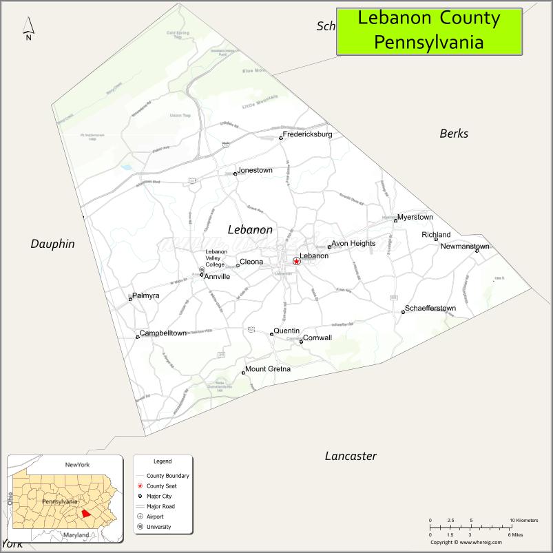
Lebanon County (/ˈlɛbənən/ Pennsylvania Dutch: Lebanon Kaundi) is a county in the Commonwealth of Pennsylvania. As of the 2010 census, the population was 133,568. Its county seat is the city of Lebanon.
The county was formed from portions of Dauphin and Lancaster counties in 1813, with minor boundary revisions in 1814 and 1821. Lebanon County comprises the Lebanon, Pennsylvania, metropolitan statistical area, which is part of the Harrisburg–York–Lebanon combined statistical area.
Lebanon is 72 miles northwest of Philadelphia, which is the nearest major city.
| Name: | Lebanon County |
|---|---|
| FIPS code: | 42-075 |
| State: | Pennsylvania |
| Founded: | February 16, 1813 |
| Seat: | Lebanon |
| Largest city: | Lebanon |
| Total Area: | 362 sq mi (940 km²) |
| Land Area: | 362 sq mi (940 km²) |
| Total Population: | 143,493 |
| Population Density: | 390/sq mi (150/km²) |
| Time zone: | UTC−5 (Eastern) |
| Summer Time Zone (DST): | UTC−4 (EDT) |
| Website: | www.lebcounty.org |
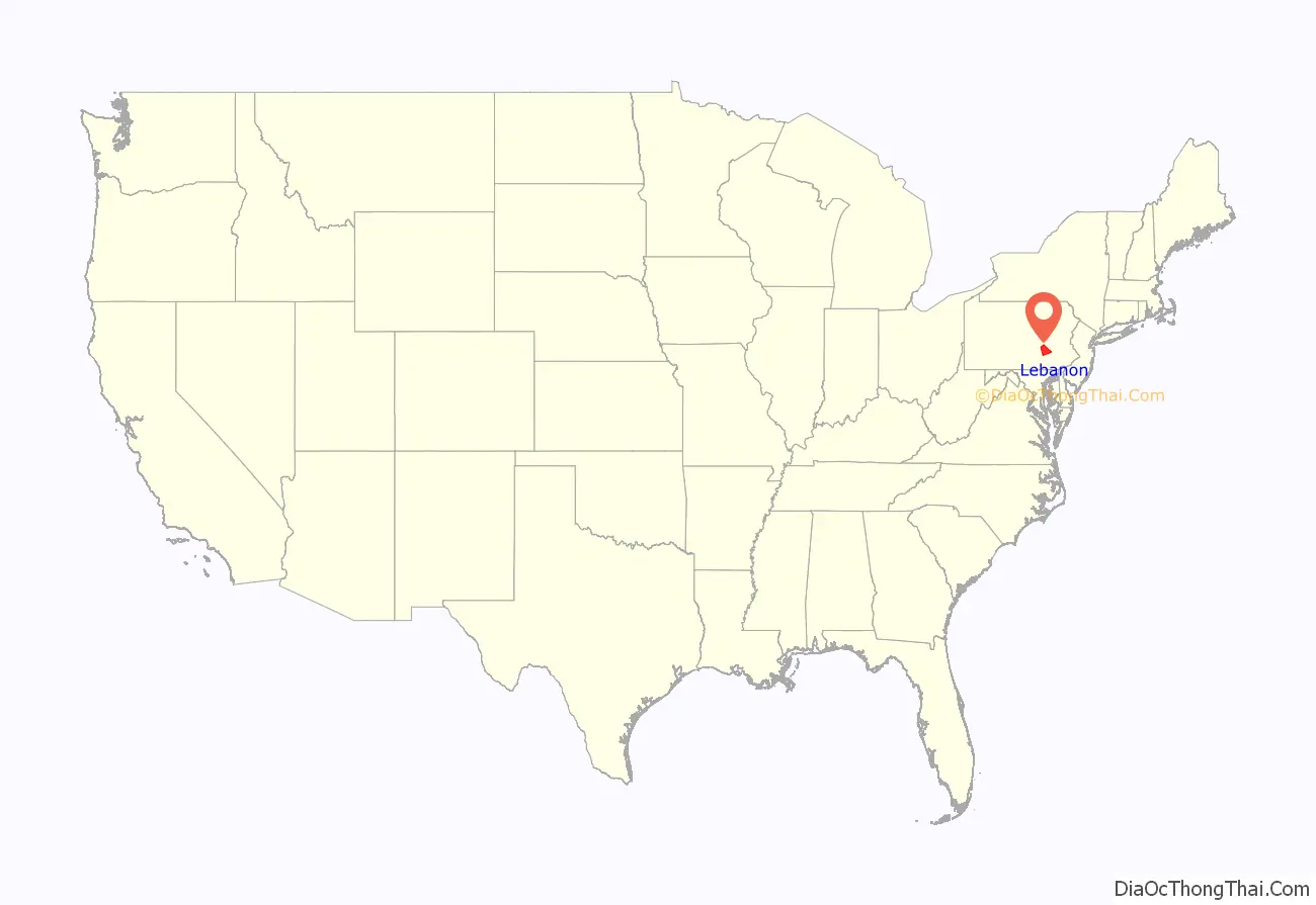
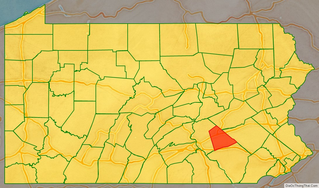
Lebanon County location map. Where is Lebanon County?
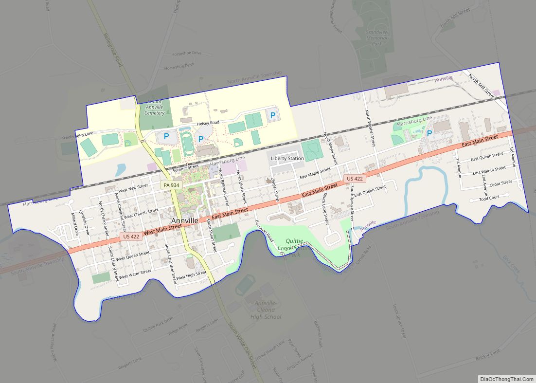
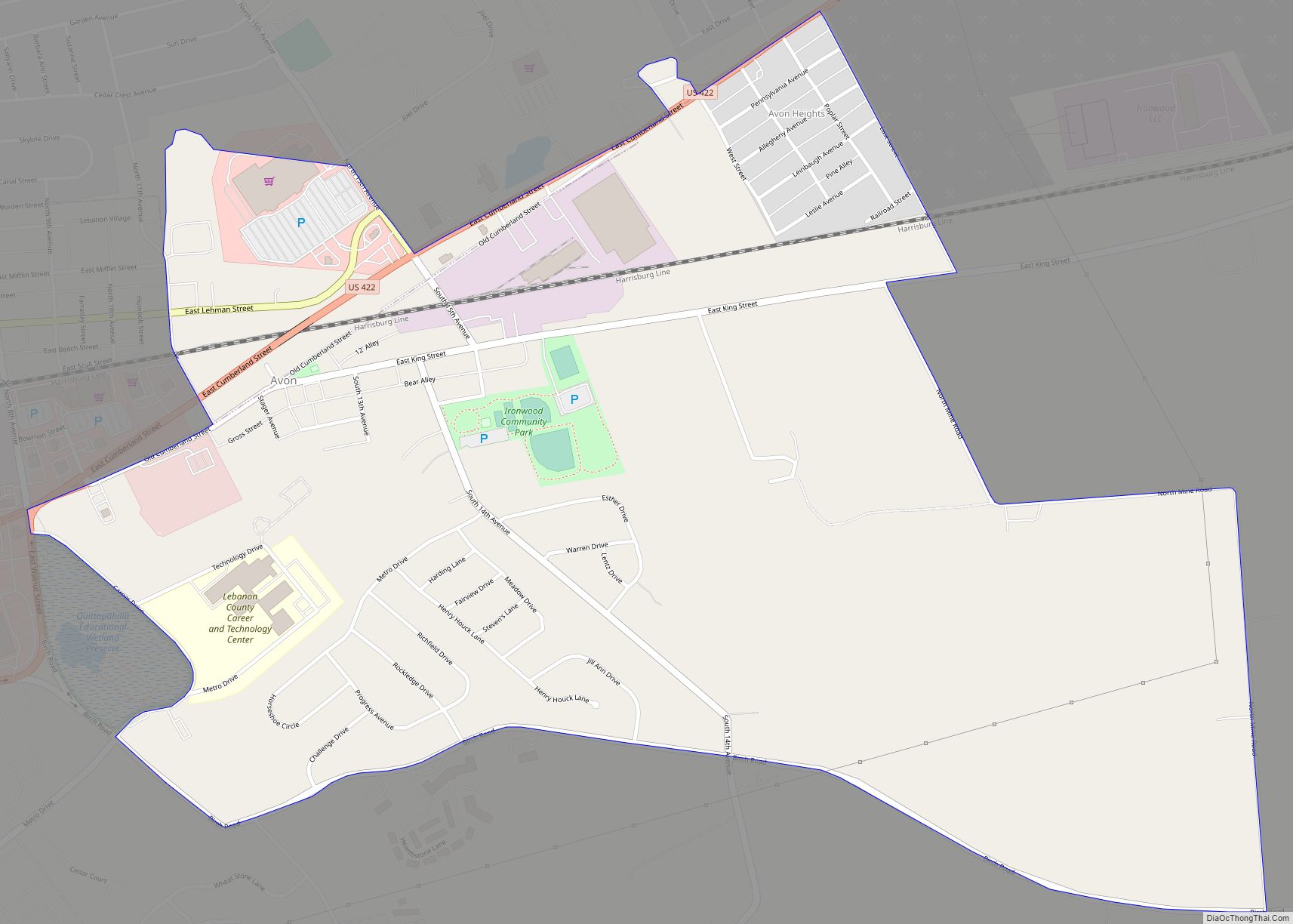
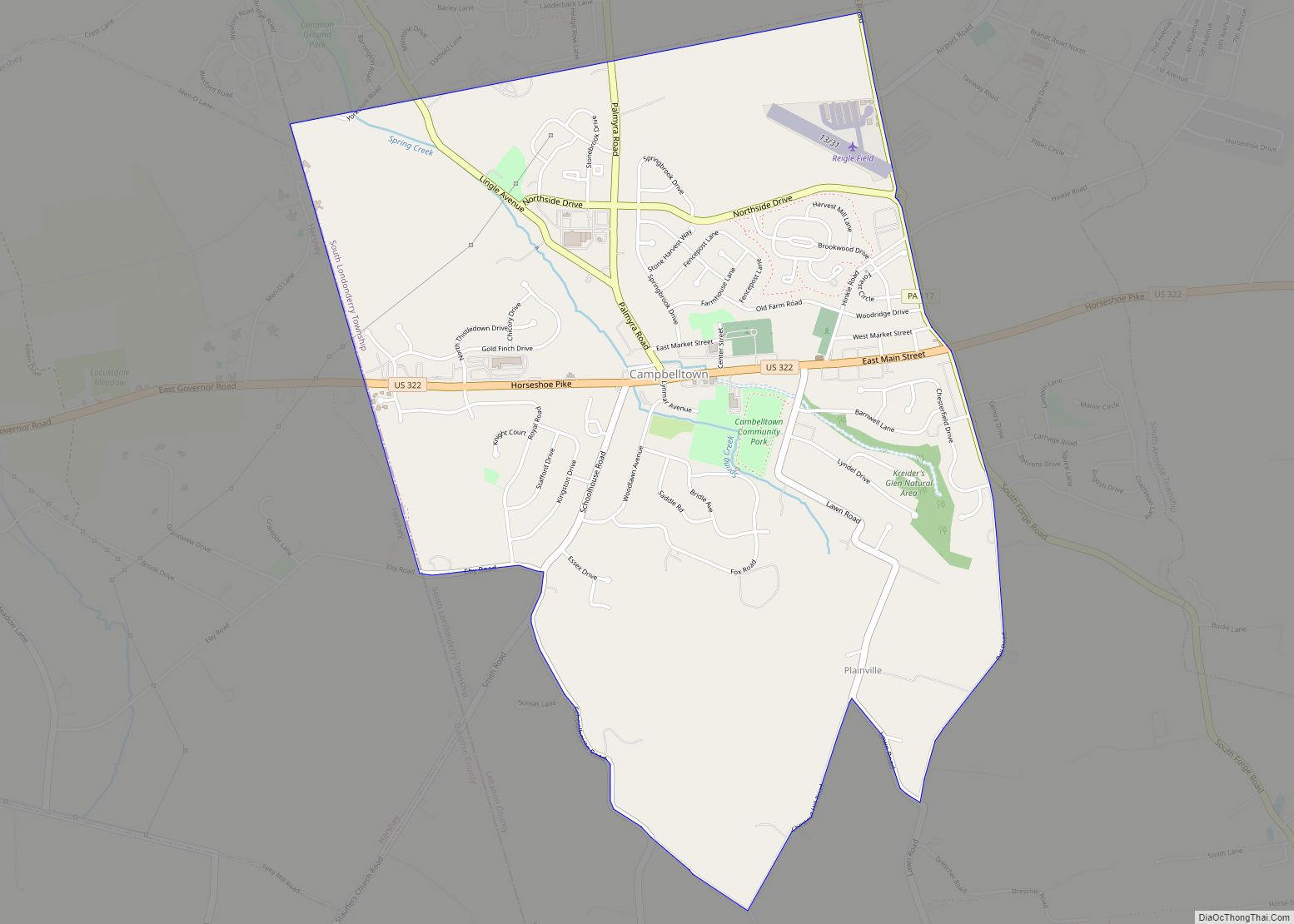
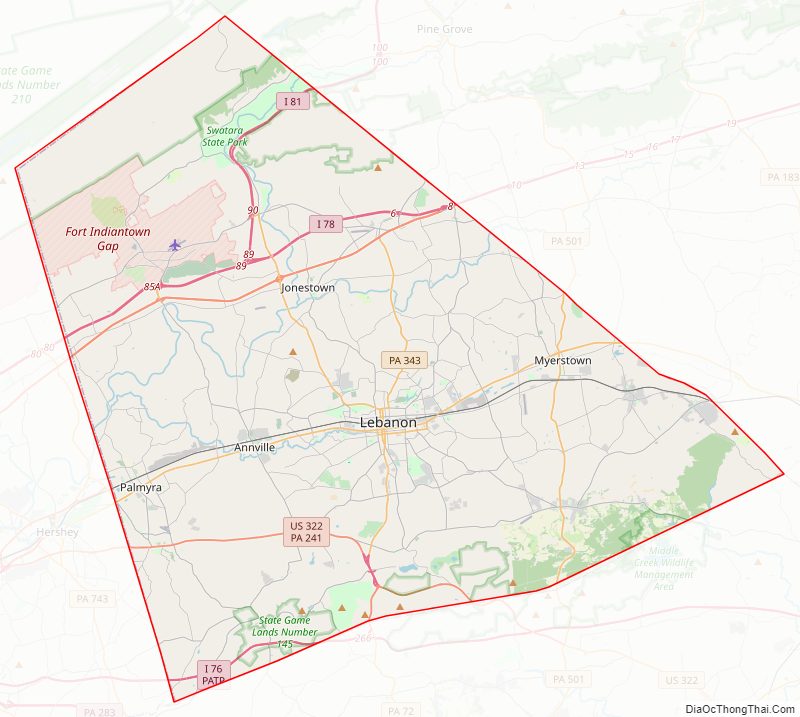
Lebanon County Road Map
Geography
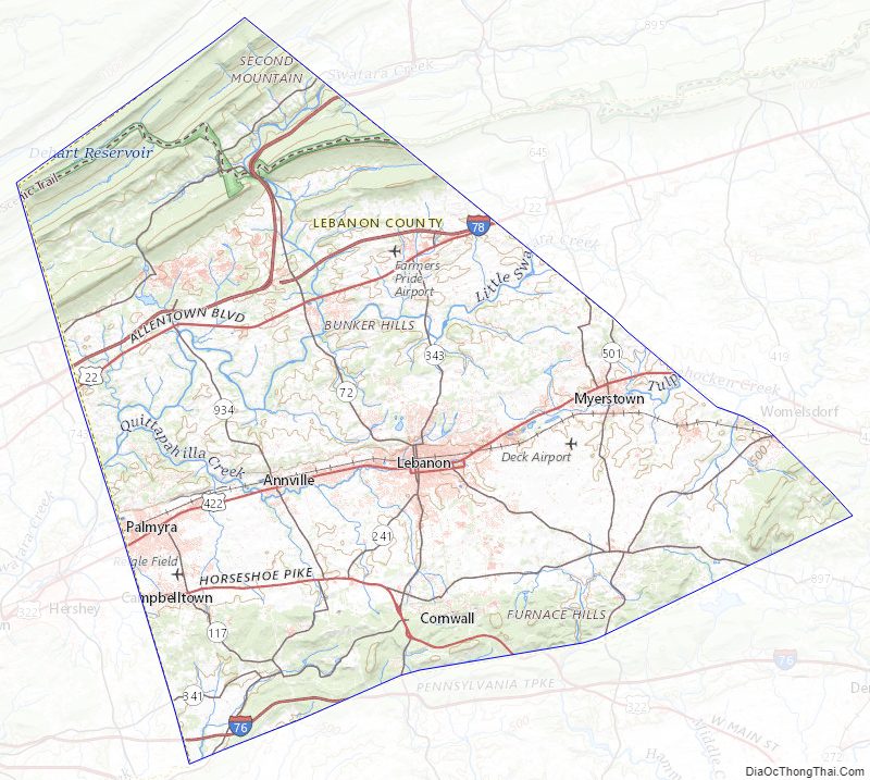
According to the U.S. Census Bureau, the county has a total area of 362 square miles (940 km), of which 362 square miles (940 km) is land and 0.7 square miles (1.8 km) (0.2%) is water. Most of it is drained by the Swatara Creek into the Susquehanna River while some eastern portions are drained by the Tulpehocken Creek (which originates in the county near Myerstown) eastward into the Schuylkill River. It consists in large part of a valley.
Climate
The county has a hot-summer humid continental climate (Dfa) and the hardiness zone is 6b except along the northern boundary with Dauphin where it is 6a. Average monthly temperatures in center-city Lebanon range from 29.4 °F in January to 74.3 °F in July.
Adjacent counties
- Schuylkill County (northeast)
- Berks County (east)
- Lancaster County (south)
- Dauphin County (west and northwest)
Major highways
- I-76 / Penna Turnpike
- I-78
- I-81
- US 22
- US 322
- US 422
- PA 72
- PA 117
- PA 241
- PA 341
- PA 343
- PA 419
- PA 443
- PA 501
- PA 645
- PA 897
- PA 934
Lebanon County Topographic Map
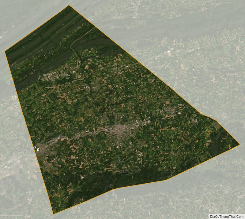
Lebanon County Satellite Map
Lebanon County Outline Map