Lebanon (/ˈlɛbənən/) is a city in and the county seat of Lebanon County, Pennsylvania, United States. The population was 26,814 at the 2020 census.
Lebanon was founded by George Steitz in 1740 and was originally named Steitztown.
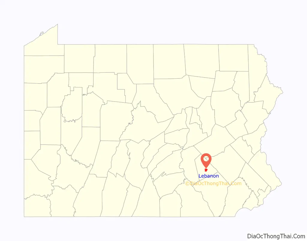
Lebanon is located 61 miles (98 km) southwest of Allentown, 26 miles (42 km) east of Harrisburg, and 88 miles (142 km) northwest of Philadelphia.
| Name: | Lebanon city |
|---|---|
| LSAD Code: | 25 |
| LSAD Description: | city (suffix) |
| State: | Pennsylvania |
| County: | Lebanon County |
| Incorporated: | 1821 |
| Total Area: | 4.17 sq mi (10.79 km²) |
| Land Area: | 4.17 sq mi (10.79 km²) |
| Water Area: | 0.00 sq mi (0.00 km²) |
| Total Population: | 26,814 |
| Population Density: | 6,434.85/sq mi (2,484.32/km²) |
| ZIP code: | 17042, 17046 |
| Area code: | 717 and 223 |
| FIPS code: | 4242168 |
| Website: | http://www.lebanonpa.org |
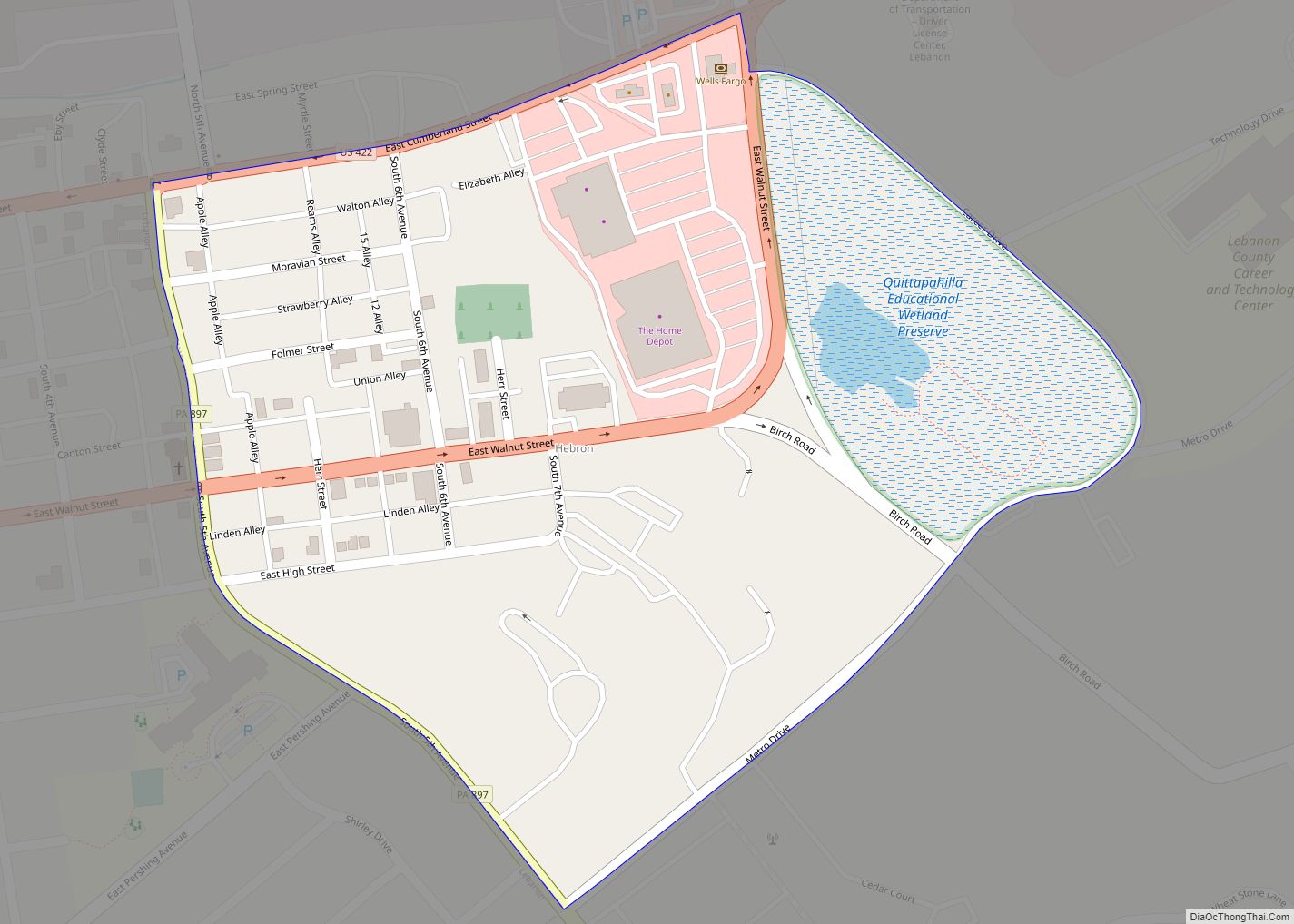
Online Interactive Map
Click on ![]() to view map in "full screen" mode.
to view map in "full screen" mode.
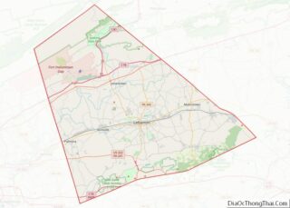
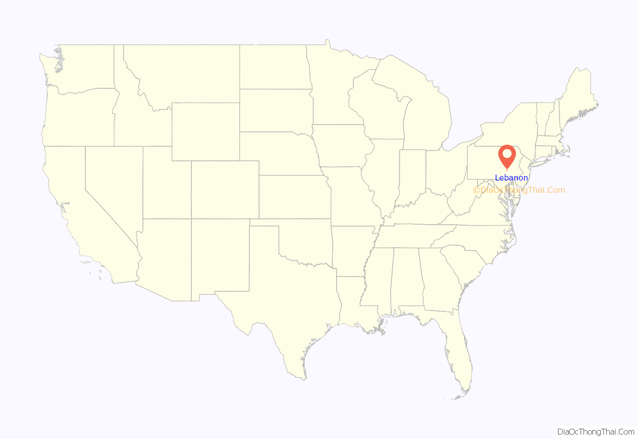
Lebanon location map. Where is Lebanon city?
History
Native tribes in the area of what is now Lebanon included the Shawnee, Susquehannock, Gawanese, Lenape (or Delaware), and Nanticoke peoples.
Lebanon was settled by European colonists in 1720, many with the family names of “Steitz” and “Light”, along a creek that was then named “Steitz Creek”. The Light patriarchs built a fort to protect against Indians and named it “Light’s Fort”. The town was laid out in 1753, incorporated as a borough on February 20, 1821, and became a city on November 25, 1885. It adopted the commission form of government, consisting of four councilmen and a mayor.
Lebanon bologna was first made here, since before the 1780s. The Union Canal, which operated from 1828 to 1885, flowed through the city’s north side. San Giorgio pasta has been manufactured in Lebanon since 1914, and was acquired by nearby Hershey Foods Corporation in 1966. Lebanon was formerly home to a major steel mill operated by Bethlehem Steel.
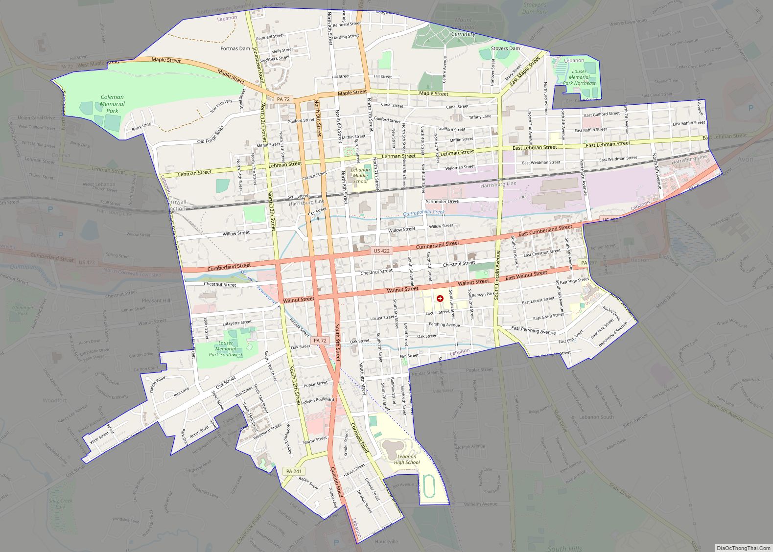
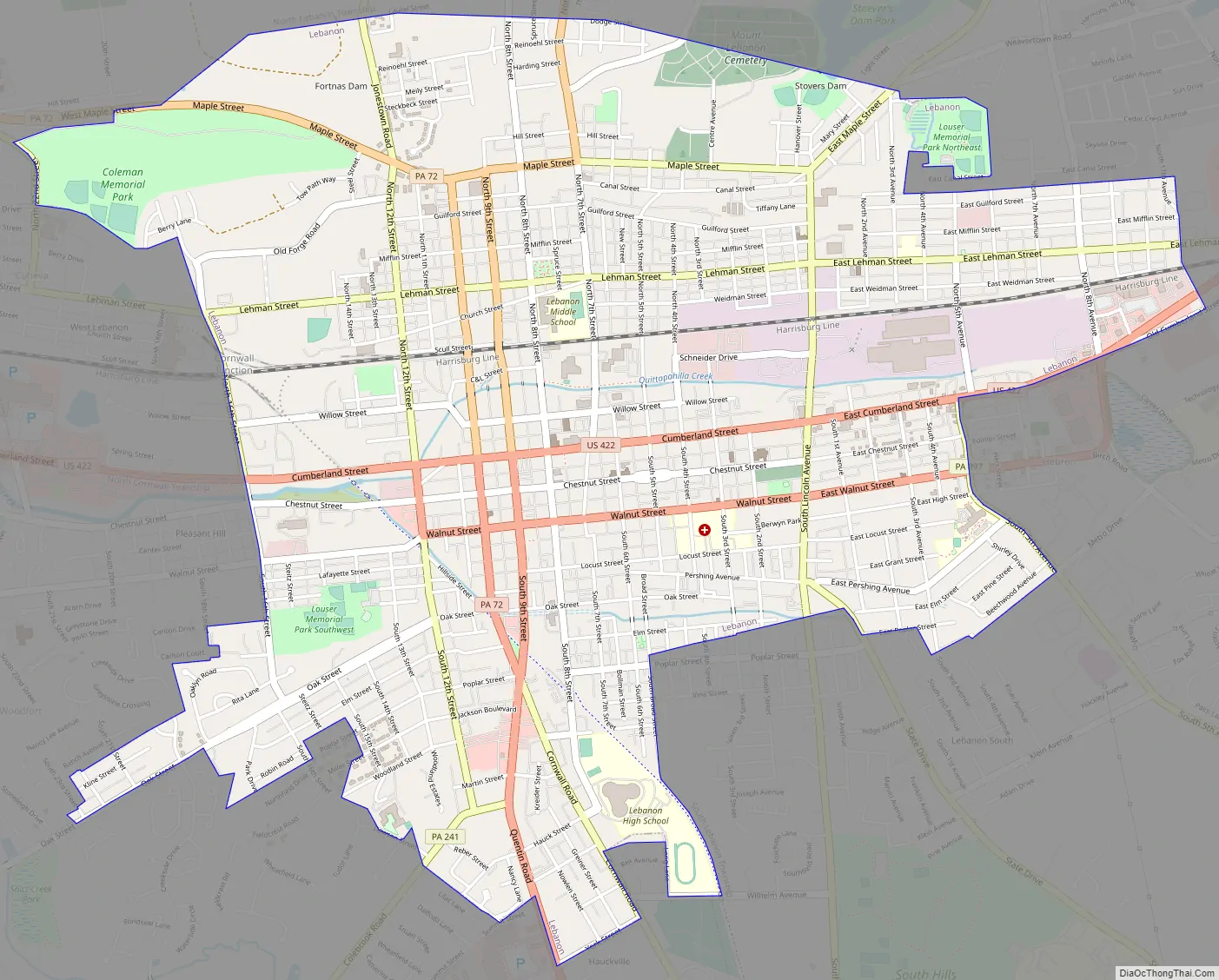
Lebanon Road Map
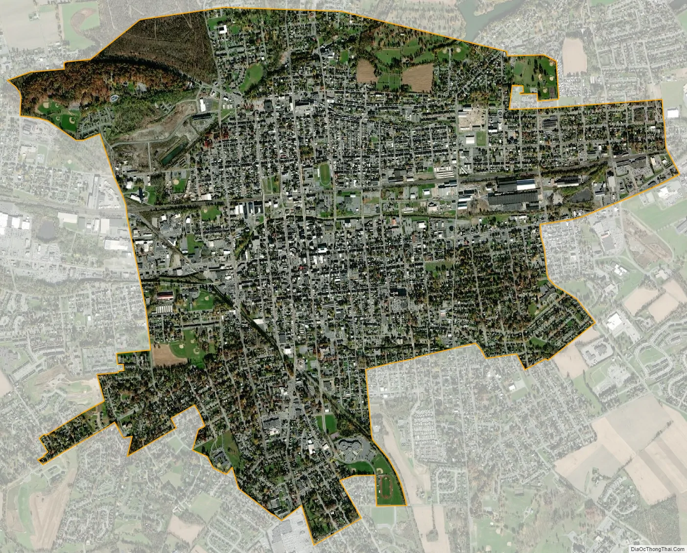
Lebanon city Satellite Map
Geography
According to the U.S. Census Bureau, the city has a total area of 4.2 square miles (11 km), all land.
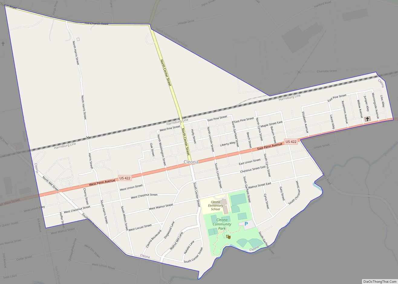
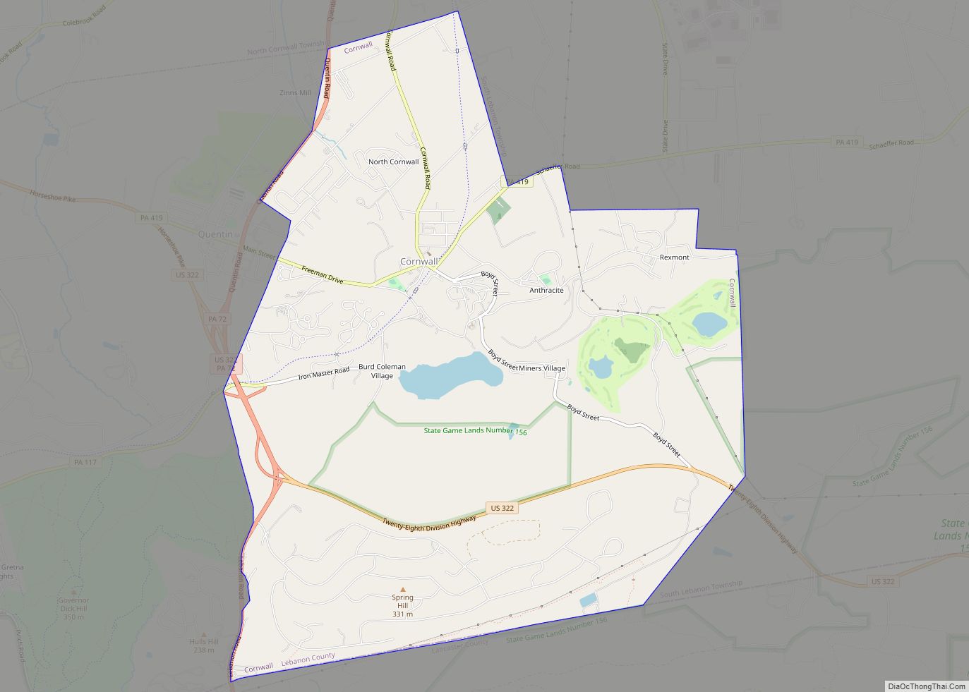
Lebanon is bordered to its north and east by North Lebanon Township (4.5 mi), to its south and east by South Lebanon Township (3.22 mi), to its west by West Lebanon Township (1.07 mi), and to its south and west by North Cornwall Township (4.38 mi). The Quittapahilla Creek drains the city westward into the Susquehanna River via the Swatara Creek.
Climate
Average monthly temperatures in center city Lebanon range from 29.4 °F in January to 74.3 °F in July. The city and vicinity have a hot-summer humid continental climate (Dfa) and the local hardiness zone is 6b.
See also
Map of Pennsylvania State and its subdivision:- Adams
- Allegheny
- Armstrong
- Beaver
- Bedford
- Berks
- Blair
- Bradford
- Bucks
- Butler
- Cambria
- Cameron
- Carbon
- Centre
- Chester
- Clarion
- Clearfield
- Clinton
- Columbia
- Crawford
- Cumberland
- Dauphin
- Delaware
- Elk
- Erie
- Fayette
- Forest
- Franklin
- Fulton
- Greene
- Huntingdon
- Indiana
- Jefferson
- Juniata
- Lackawanna
- Lancaster
- Lawrence
- Lebanon
- Lehigh
- Luzerne
- Lycoming
- Mc Kean
- Mercer
- Mifflin
- Monroe
- Montgomery
- Montour
- Northampton
- Northumberland
- Perry
- Philadelphia
- Pike
- Potter
- Schuylkill
- Snyder
- Somerset
- Sullivan
- Susquehanna
- Tioga
- Union
- Venango
- Warren
- Washington
- Wayne
- Westmoreland
- Wyoming
- York
- Alabama
- Alaska
- Arizona
- Arkansas
- California
- Colorado
- Connecticut
- Delaware
- District of Columbia
- Florida
- Georgia
- Hawaii
- Idaho
- Illinois
- Indiana
- Iowa
- Kansas
- Kentucky
- Louisiana
- Maine
- Maryland
- Massachusetts
- Michigan
- Minnesota
- Mississippi
- Missouri
- Montana
- Nebraska
- Nevada
- New Hampshire
- New Jersey
- New Mexico
- New York
- North Carolina
- North Dakota
- Ohio
- Oklahoma
- Oregon
- Pennsylvania
- Rhode Island
- South Carolina
- South Dakota
- Tennessee
- Texas
- Utah
- Vermont
- Virginia
- Washington
- West Virginia
- Wisconsin
- Wyoming