Adams County is a county in the Commonwealth of Pennsylvania. As of the 2020 census, the population was 103,852. Its county seat is Gettysburg. The county was created on January 22, 1800, from part of York County, and was named for the second President of the United States, John Adams. On July 1–3, 1863, a crucial battle of the American Civil War was fought near Gettysburg; Adams County as a result is a center of Civil War tourism.
Adams County comprises the Gettysburg metropolitan statistical area, which is also included in the Harrisburg–York–Lebanon combined statistical area.
| Name: | Adams County |
|---|---|
| FIPS code: | 42-001 |
| State: | Pennsylvania |
| Founded: | January 22, 1800 |
| Named for: | John Adams |
| Seat: | Gettysburg |
| Total Area: | 522 sq mi (1,350 km²) |
| Land Area: | 519 sq mi (1,340 km²) |
| Total Population: | 103,852 |
| Population Density: | 200/sq mi (80/km²) |
| Time zone: | UTC−5 (Eastern) |
| Summer Time Zone (DST): | UTC−4 (EDT) |
| Website: | www.adamscounty.us |
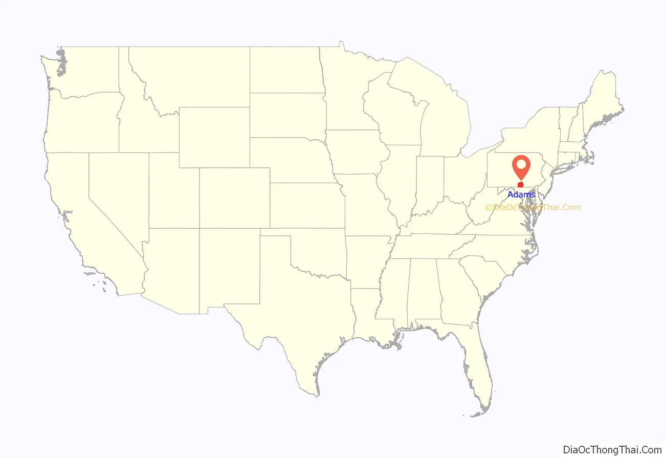
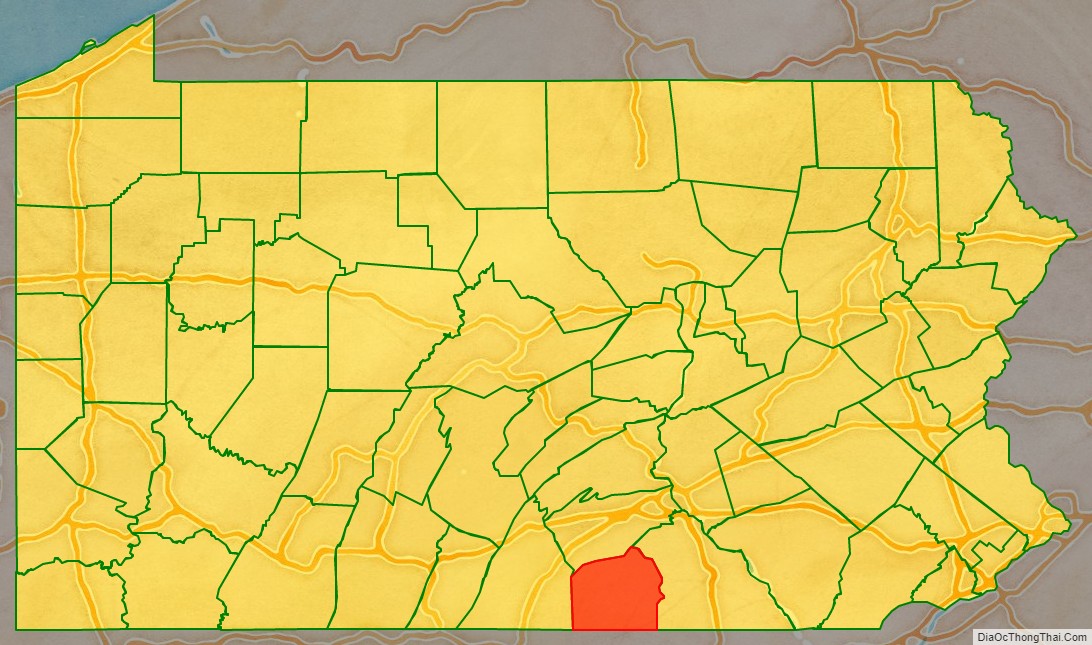
Adams County location map. Where is Adams County?
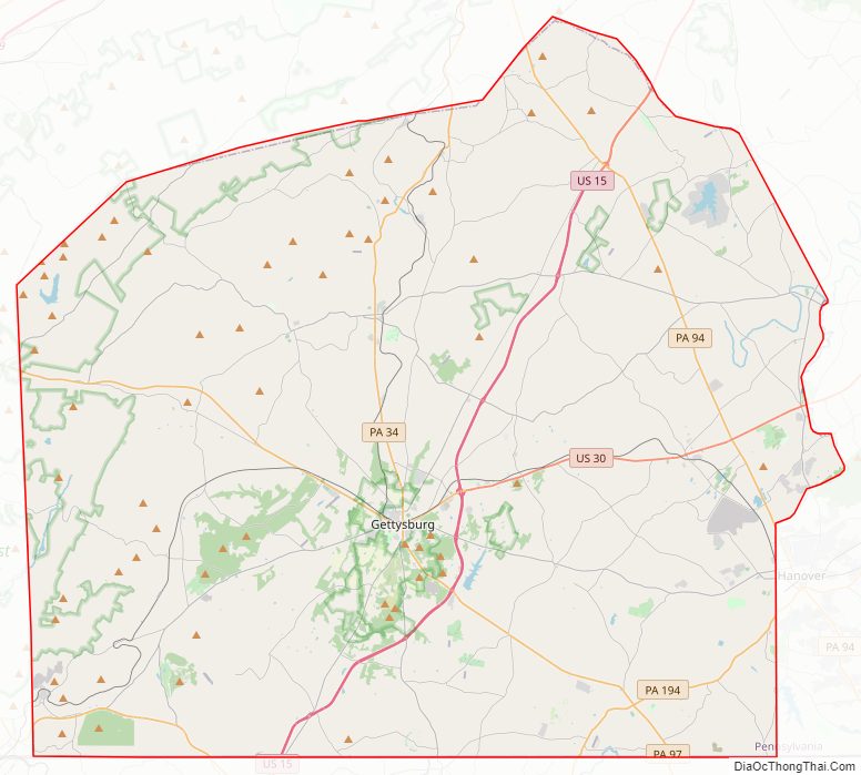
Adams County Road Map
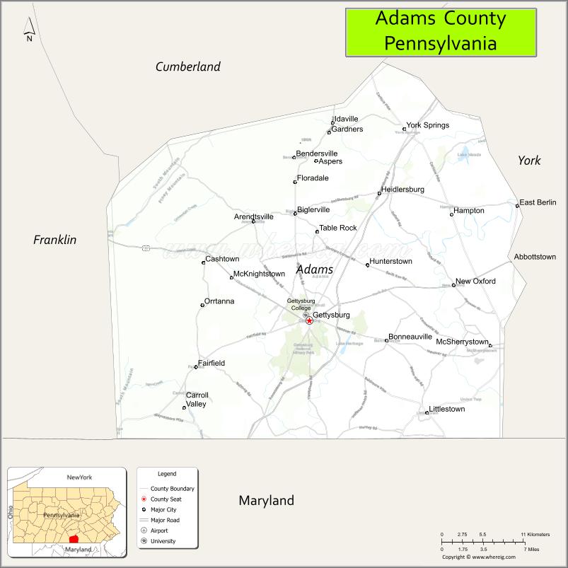
Geography
According to the U.S. Census Bureau, the county has a total area of 522 square miles (1,350 km), of which 519 square miles (1,340 km) is land and 3.1 square miles (8.0 km) (0.6%) is water. The Borough of Gettysburg is located at the center of Adams County. This county seat community is surrounded on three sides by the Gettysburg National Military Park (GNMP). The Eisenhower National Historic Site adjoins GNMP on its southwestern edge. Most of Adams County’s rural landscapes and its mid-19th century roadway pattern remain intact today. Thirteen historic roadways converge at or near Gettysburg Borough. Two circular rings of towns surround Gettysburg; the first is typically found at a distance of approximately 7 miles (11 km) from Gettysburg. The second ring is found at a distance of 12 to 15 miles (24 km) from the county seat. This “spokes and wheel” pattern is one of the few examples of Central Place Theory in the Eastern United States.
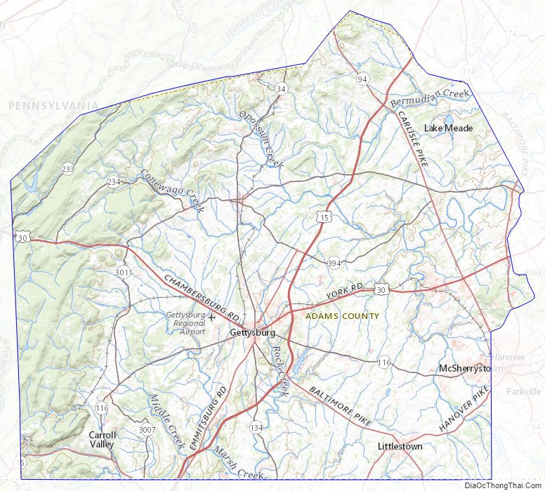
The county is in the watershed of the Chesapeake Bay and is drained by the Susquehanna and Potomac Rivers.
Adjacent counties
- Cumberland County (north)
- York County (east)
- Carroll County, Maryland (southeast)
- Frederick County, Maryland (southwest)
- Franklin County (west)
National protected areas
- Eisenhower National Historic Site
- Gettysburg National Military Park
Climate
Adams has a hot-summer humid continental climate (Dfa).
Adams County Topographic Map
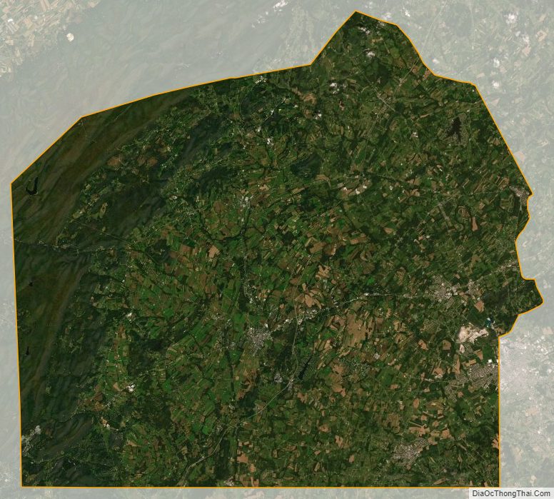
Adams County Satellite Map
Adams County Outline Map