Lee County is a county located in the U.S. state of Georgia. As of the 2020 census, the population was 33,163. Its county seat is Leesburg ans was established in 1825. Lee County is included in the Albany, GA Metropolitan Statistical Area.
| Name: | Lee County |
|---|---|
| FIPS code: | 13-177 |
| State: | Georgia |
| Founded: | 1826 |
| Named for: | Henry Lee III |
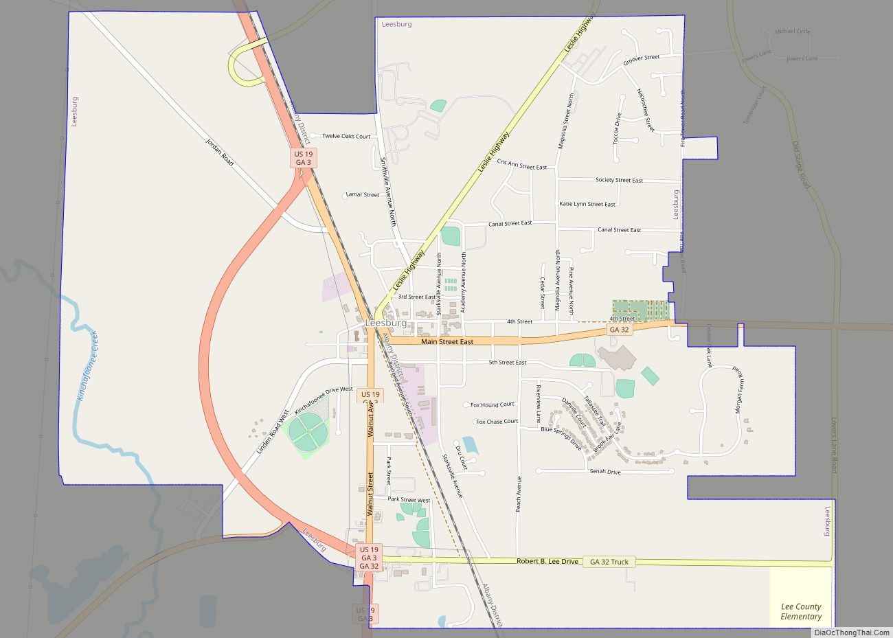
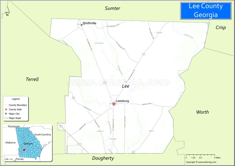
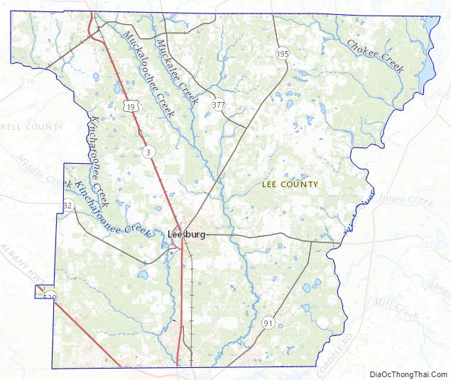
| Seat: | Leesburg |
| Largest city: | Leesburg |
| Total Area: | 362 sq mi (940 km²) |
| Land Area: | 356 sq mi (920 km²) |
| Total Population: | 33,163 |
| Population Density: | 93/sq mi (36/km²) |
| Time zone: | UTC−5 (Eastern) |
| Summer Time Zone (DST): | UTC−4 (EDT) |
| Website: | www.lee.ga.us |
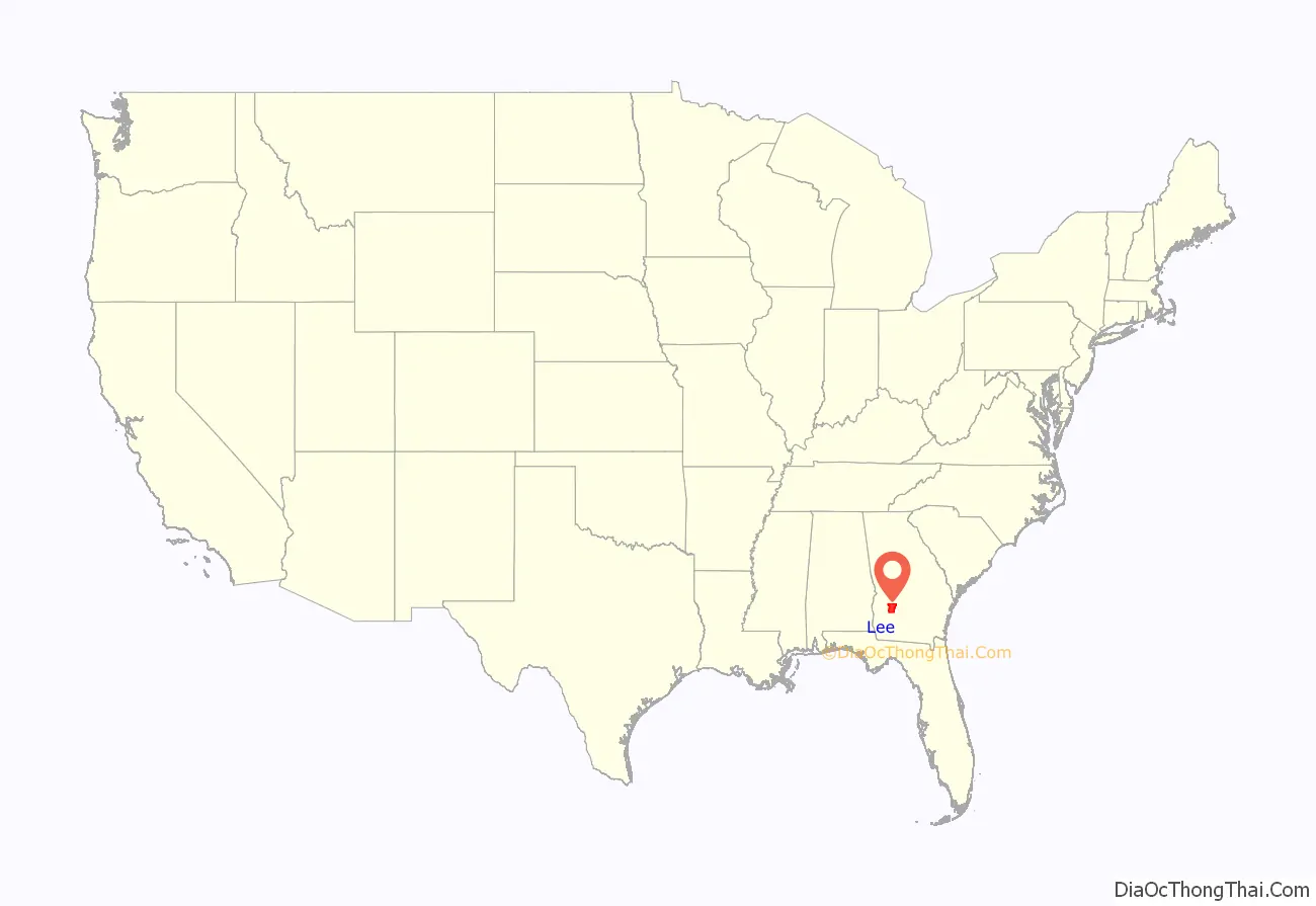
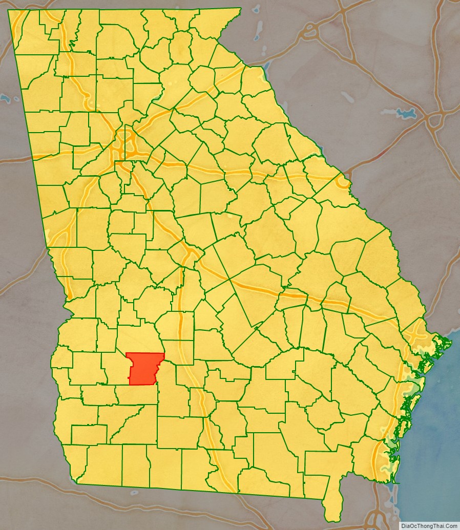
Lee County location map. Where is Lee County?
History
The land for Lee, Muscogee, Troup, Coweta, and Carroll counties was ceded by the Creek people in the 1825 Treaty of Indian Springs. The counties’ boundaries were created by the Georgia General Assembly on June 9, but they were not named until December 14, 1826. The county was named in honor of Henry Lee III, popularly known as “Light-Horse Harry,” the father of Confederate general Robert E. Lee. On January 29, 1916, five African American men were lynched; they were taken from the Worth county jail and hung, their bodies riddled with bullets. The Leesburg Stockade occurred in Lee County.
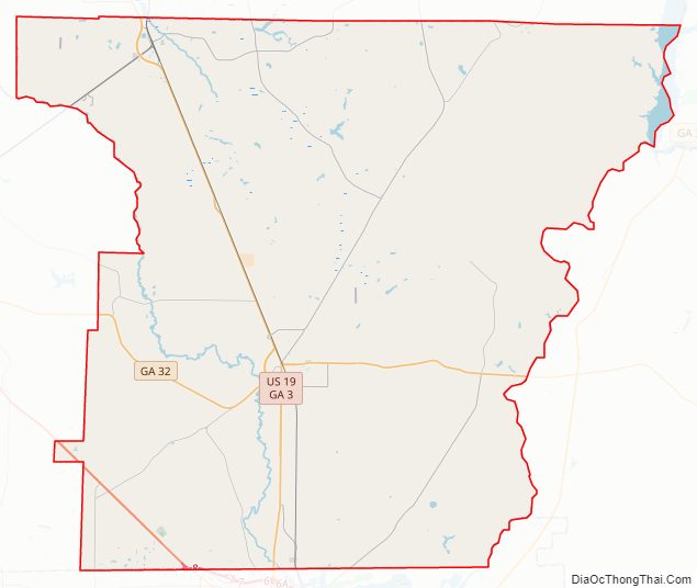
Lee County Road Map
Geography
According to the U.S. Census Bureau, the county has a total area of 362 square miles (940 km), of which 356 square miles (920 km) is land and 5.9 square miles (15 km) (1.6%) is water. Most of the western three-quarters of Lee County is located in the Kinchafoonee-Muckalee sub-basin of the ACF River Basin (Apalachicola-Chattahoochee-Flint River Basin). The eastern quarter of the county is located in the Middle Flint River sub-basin of the same ACF River Basin, while a very small corner in the south of Lee County is located in the Lower Flint River sub-basin of the same larger ACF River Basin. An even smaller southwestern corner is located in the Ichawaynochaway Creek sub-basin of the ACF River Basin.
Major highways
- U.S. Route 19
U.S. Route 19 Bypass- U.S. Route 82
- State Route 3
- State Route 3 Bypass
- State Route 32
- State Route 91
- State Route 118
- State Route 133
- State Route 195
- State Route 377
- State Route 520
Adjacent counties
- Sumter County (north)
- Crisp County (northeast)
- Worth County (east)
- Dougherty County (south)
- Terrell County (west)
Lee County Topographic Map
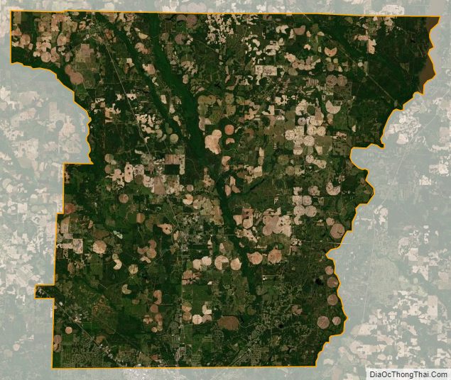
Lee County Satellite Map
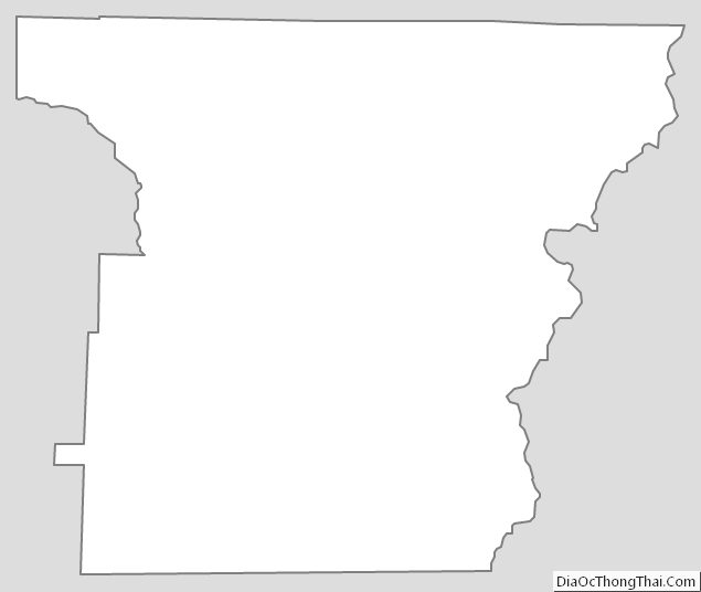
Lee County Outline Map