Payne County is located in the U.S. state of Oklahoma. As of the 2010 census, the population was 77,350. Its county seat is Stillwater. The county was created in 1890 as part of Oklahoma Territory and is named for Capt. David L. Payne, a leader of the “Boomers”.
Payne County comprises the Stillwater, OK Micropolitan Statistical Area. The county lies northeast of the Oklahoma City metropolitan area although some consider it an extension of the Oklahoma City metro area due to commuter patterns and other indicators.
| Name: | Payne County |
|---|---|
| FIPS code: | 40-119 |
| State: | Oklahoma |
| Founded: | May 2, 1890 |
| Named for: | Capt. David L. Payne |
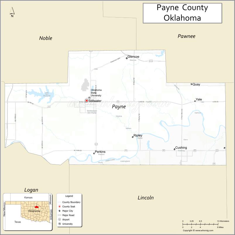
| Seat: | Stillwater |
| Largest city: | Stillwater |
| Total Area: | 697 sq mi (1,810 km²) |
| Land Area: | 685 sq mi (1,770 km²) |
| Total Population: | 77,350 |
| Population Density: | 113/sq mi (44/km²) |
| Time zone: | UTC−6 (Central) |
| Summer Time Zone (DST): | UTC−5 (CDT) |
| Website: | www.paynecounty.org |
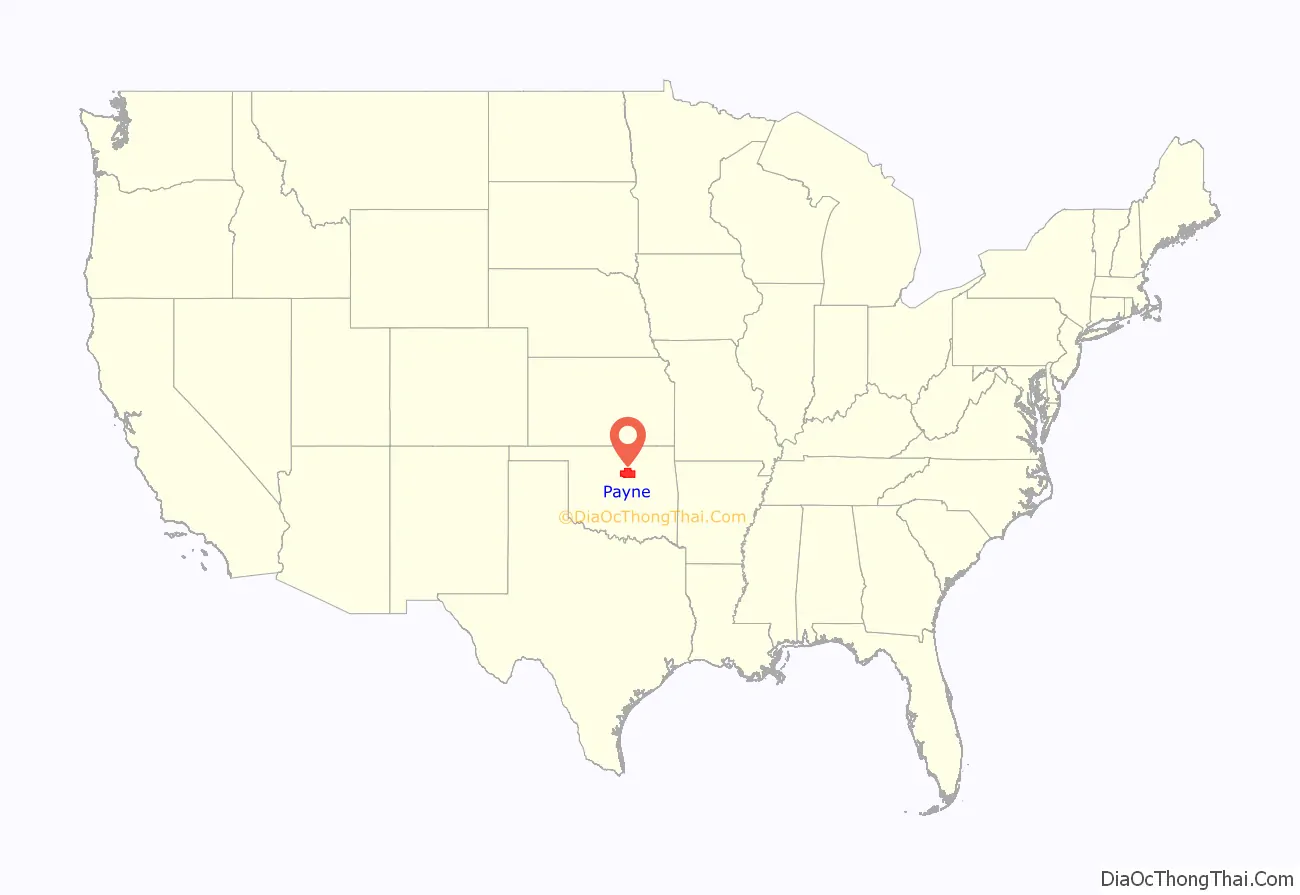
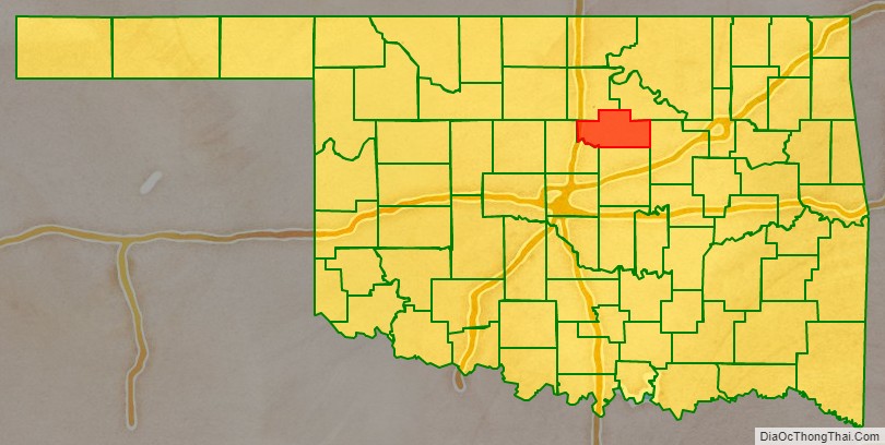
Payne County location map. Where is Payne County?
History
This county was established and named as the Sixth County by the Oklahoma Organic Act of 1890. It included land settled during the Land Run of 1889. The Organic Act settled a dispute between the towns of Stillwater and Perkins over which should be the county seat.
Eastern Oklahoma Railway built two lines in Payne County between 1900 and 1902, then immediately leased them to the Atchison, Topeka and Santa Fe Railway. The historic civil townships of the county were abolished by 1930. One north–south line ran between Pawnee, Stillwater, Ripley and Cushing before joining another north–south line that from Newark to Shawnee. Another line was built from Guthrie along the Cimarron River to Ripley. These lines were important in getting crops from farm to market.
In 2010, the Keystone-Cushing Pipeline (Phase II) was constructed into Payne County.
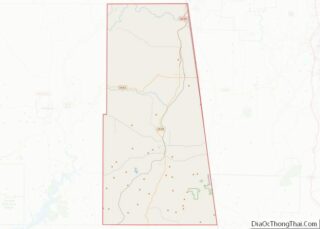
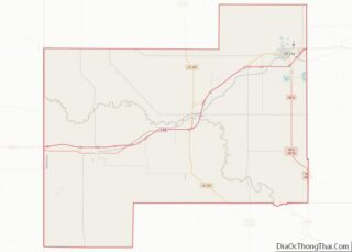
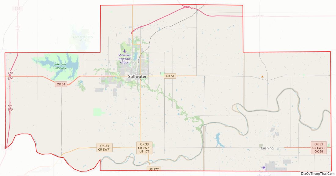
Payne County Road Map
Geography
According to the U.S. Census Bureau, the county has a total area of 697 square miles (1,810 km), of which 685 square miles (1,770 km) is land and 12 square miles (31 km) (1.8%) is water.
Payne County is covered by rolling plains, mostly within the Sandstone Hills physiographic region, but with the western part of the county in the Red Bed plains. The county has two significant reservoirs: Lake McMurtry and Lake Carl Blackwell. The Cimarron River and Stillwater Creek drain most of the county.
Major highways
- Interstate 35
- U.S. Highway 177
- U.S. Highway 412
- State Highway 18
- State Highway 33
- State Highway 51
- State Highway 86
- State Highway 99
- State Highway 108
Airports
- KSWO – Stillwater Regional Airport, Commercial service to Dallas via American Airlines
- KCUH – Cushing Municipal Airport
Adjacent counties
- Noble County (northwest)
- Pawnee County (northeast)
- Creek County (east)
- Lincoln County (south)
- Logan County (southwest)
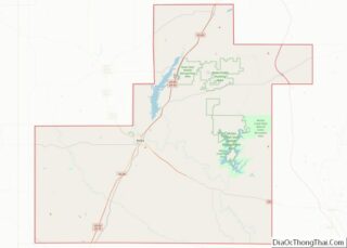
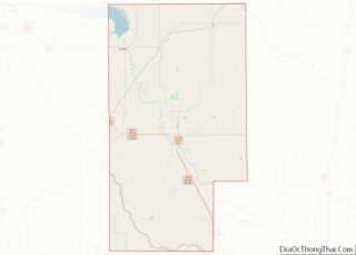
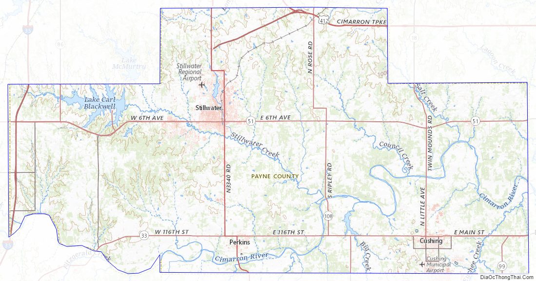
Payne County Topographic Map
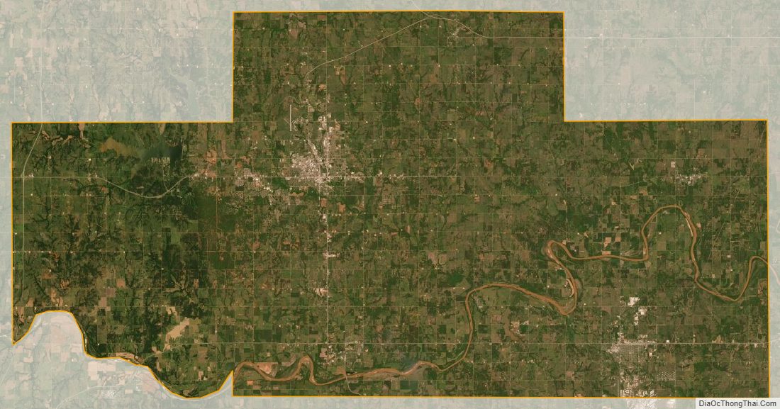
Payne County Satellite Map
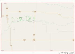
Payne County Outline Map