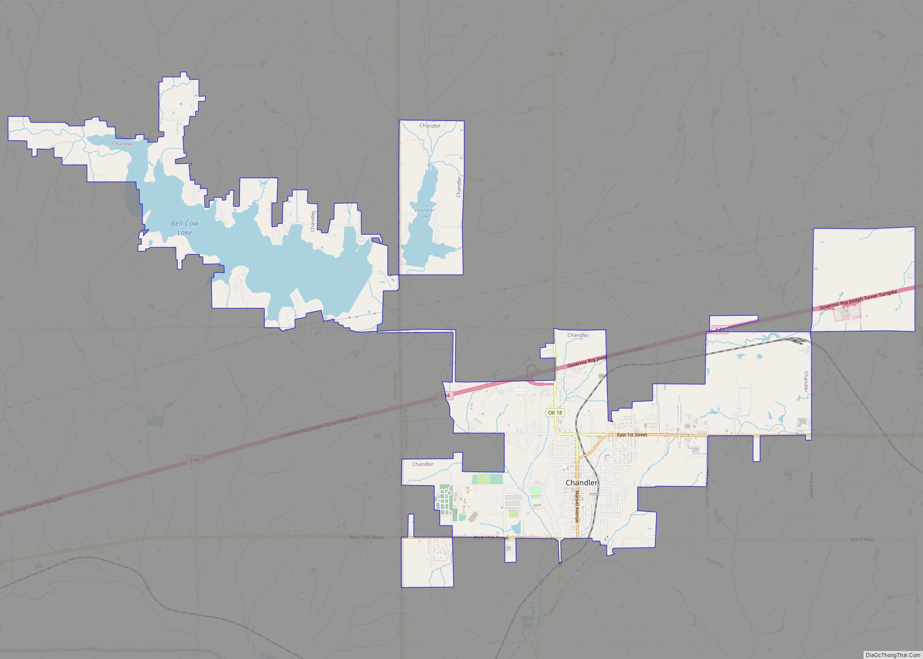
Chandler (Meskwaki: Chêninêheki) is a city in, and the county seat of, Lincoln County, Oklahoma, United States. and is part of the Oklahoma City Metropolitan Area. The population was 3,100 at the 2010 census, an increase over the figure of 2,842 in 2000.
Chandler is located northeast of Oklahoma City on SH-66 and I-44, and north of Shawnee on SH-18.
| Name: | Chandler city |
|---|---|
| LSAD Code: | 25 |
| LSAD Description: | city (suffix) |
| State: | Oklahoma |
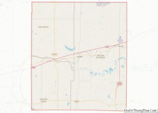
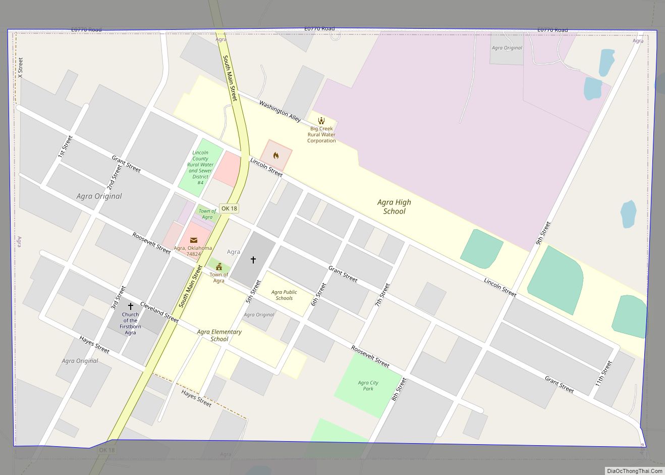
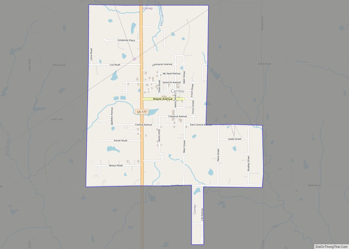
| County: | Lincoln County |
| Elevation: | 942 ft (287 m) |
| Total Area: | 10.68 sq mi (27.66 km²) |
| Land Area: | 9.60 sq mi (24.85 km²) |
| Water Area: | 1.08 sq mi (2.80 km²) |
| Total Population: | 2,858 |
| Population Density: | 297.86/sq mi (115.00/km²) |
| ZIP code: | 74834 |
| Area code: | 405/572 |
| FIPS code: | 4013500 |
| GNISfeature ID: | 1091199 |
| Website: | www.chandlerok.com |
Online Interactive Map
Click on ![]() to view map in "full screen" mode.
to view map in "full screen" mode.
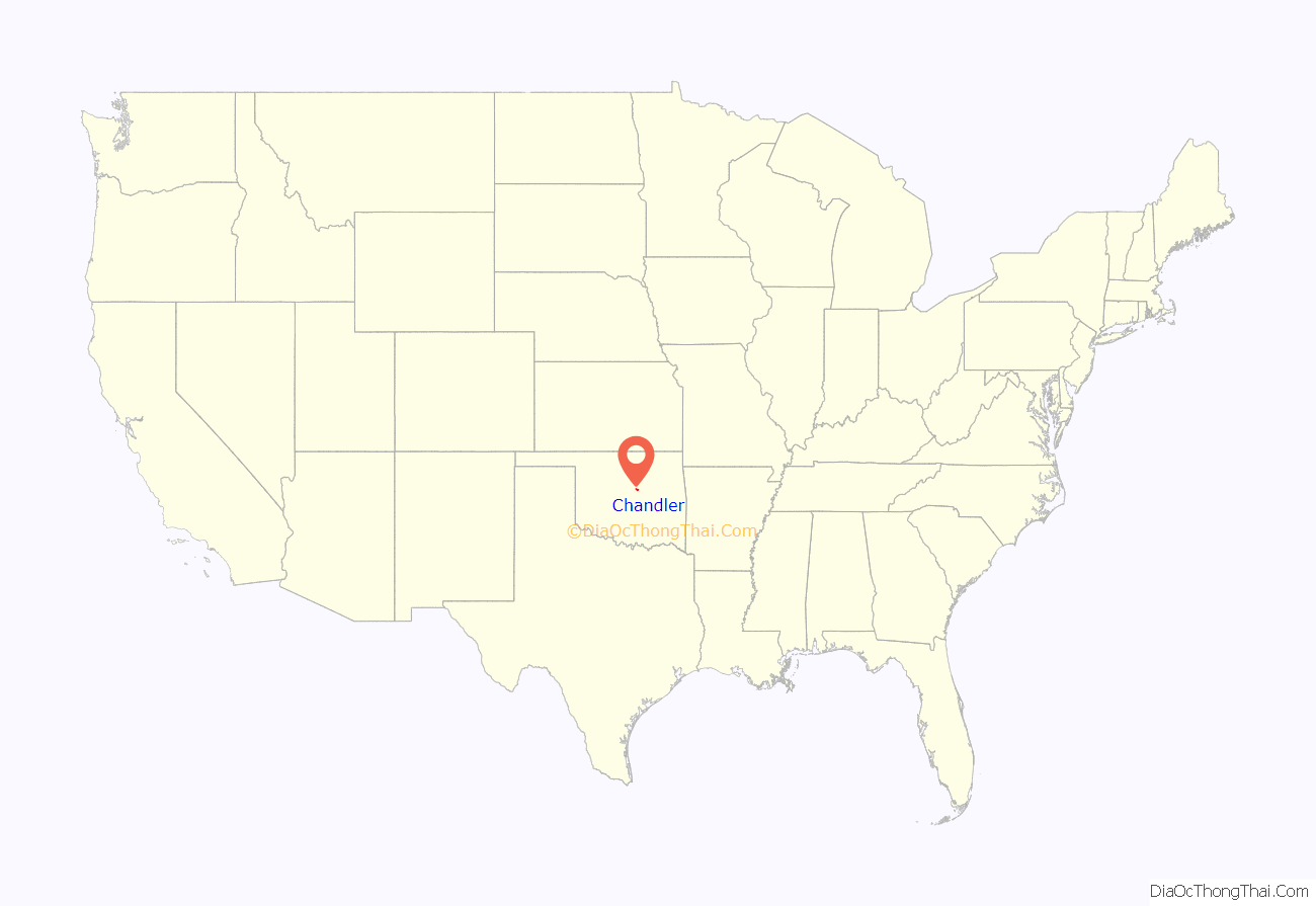
Chandler location map. Where is Chandler city?

History
Chandler was named after Judge George Chandler, also Assistant Secretary of the Interior. The site of Chandler was opened by a land run on September 28, 1891. The town had been planned to be opened on September 22, (the date of the Land Run of 1891) but the site survey had not been completed. The Chandler Post Office had opened September 21, the day before the planned run. When Oklahoma Territory County A (Lincoln County) was organized, Chandler became the county seat. On March 30, 1897, a tornado destroyed most of the fledgling town and killed 14 residents.
In 1891 the county government operated from an office building until a courthouse was built. The courthouse was destroyed by the tornado of 1897, and a two-story frame building was erected as a temporary courthouse on the present site. The building was removed in 1907 to make way for a stone courthouse. This third courthouse burned down on December 23, 1967 and the current courthouse was constructed in its place.
The St. Louis and Oklahoma City Railroad (later the St. Louis and San Francisco Railway, also known as the “Frisco”) built a line through Chandler in 1898. The railroad enabled Chandler to move its agricultural products, as well as bricks made by the Chandler Brick Company, to markets.
Chandler is one of the many cities along the famous U.S. Route 66 and contains a number of attractions to devotees of “The Mother Road.” These include The Route 66 Interpretive Center, The Oklahoma Law Enforcement Museum and Hall of Fame, The Lincoln County Museum of Pioneer History, several Route 66-themed murals, the newly restored old cottage-style Phillips 66 gas station, and one of the last remaining painted barns advertising Meramec Caverns, which is on Route 66 in Missouri.
U.S. Route 66 brought a significant amount of commercial business to Chandler, due to travelers crossing the state and the country; much of this business died out when the Turner Turnpike (Interstate 44) was built.
On July 31, 1894, Cherokee Bill and the gang he was riding with stole $500 from the Lincoln County Bank in Chandler, Oklahoma.
In 1949, the Oklahoma legislature declared Chandler to be “The pecan capital of the world,” in Resolution No. 5.
In 1958, professional baseball player Bo Belcher opened Chandler Baseball Camp. For 42 years, the camp hosted campers from around the world for a bootcamp-like baseball camp during summers. The camp closed in 2000 due to the death of Tom Belcher (not to be confused with fellow baseball player Tim Belcher). In 2011 it was added to the National Register of Historic Places.
Chandler Road Map

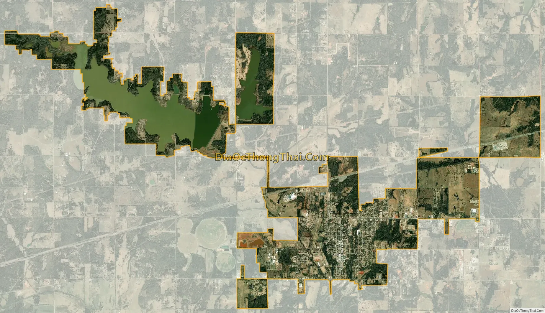
Chandler city Satellite Map
Geography
According to the United States Census Bureau, Chandler has a total area of 8.1 square miles (21 km), of which 7.3 square miles (19 km) is land and 0.9 square miles (2.3 km) (10.43%) is water.
Climate
See also
Map of Oklahoma State and its subdivision:- Adair
- Alfalfa
- Atoka
- Beaver
- Beckham
- Blaine
- Bryan
- Caddo
- Canadian
- Carter
- Cherokee
- Choctaw
- Cimarron
- Cleveland
- Coal
- Comanche
- Cotton
- Craig
- Creek
- Custer
- Delaware
- Dewey
- Ellis
- Garfield
- Garvin
- Grady
- Grant
- Greer
- Harmon
- Harper
- Haskell
- Hughes
- Jackson
- Jefferson
- Johnston
- Kay
- Kingfisher
- Kiowa
- Latimer
- Le Flore
- Lincoln
- Logan
- Love
- Major
- Marshall
- Mayes
- McClain
- McCurtain
- McIntosh
- Murray
- Muskogee
- Noble
- Nowata
- Okfuskee
- Oklahoma
- Okmulgee
- Osage
- Ottawa
- Pawnee
- Payne
- Pittsburg
- Pontotoc
- Pottawatomie
- Pushmataha
- Roger Mills
- Rogers
- Seminole
- Sequoyah
- Stephens
- Texas
- Tillman
- Tulsa
- Wagoner
- Washington
- Washita
- Woods
- Woodward
- Alabama
- Alaska
- Arizona
- Arkansas
- California
- Colorado
- Connecticut
- Delaware
- District of Columbia
- Florida
- Georgia
- Hawaii
- Idaho
- Illinois
- Indiana
- Iowa
- Kansas
- Kentucky
- Louisiana
- Maine
- Maryland
- Massachusetts
- Michigan
- Minnesota
- Mississippi
- Missouri
- Montana
- Nebraska
- Nevada
- New Hampshire
- New Jersey
- New Mexico
- New York
- North Carolina
- North Dakota
- Ohio
- Oklahoma
- Oregon
- Pennsylvania
- Rhode Island
- South Carolina
- South Dakota
- Tennessee
- Texas
- Utah
- Vermont
- Virginia
- Washington
- West Virginia
- Wisconsin
- Wyoming