Sparks is a town in Lincoln County, Oklahoma, United States. The population was 169 at the 2010 census, a 23.4 percent gain from the figure of 137 in 2000. The center of population of Oklahoma is located in Sparks [1].
| Name: | Sparks town |
|---|---|
| LSAD Code: | 43 |
| LSAD Description: | town (suffix) |
| State: | Oklahoma |
| County: | Lincoln County |
| Elevation: | 853 ft (260 m) |
| Total Area: | 0.41 sq mi (1.06 km²) |
| Land Area: | 0.40 sq mi (1.03 km²) |
| Water Area: | 0.01 sq mi (0.02 km²) |
| Total Population: | 122 |
| Population Density: | 305.76/sq mi (117.93/km²) |
| ZIP code: | 74869 |
| Area code: | 539/918 |
| FIPS code: | 4068950 |
| GNISfeature ID: | 1098336 |
Online Interactive Map
Click on ![]() to view map in "full screen" mode.
to view map in "full screen" mode.
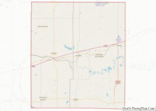
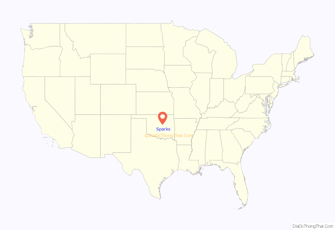
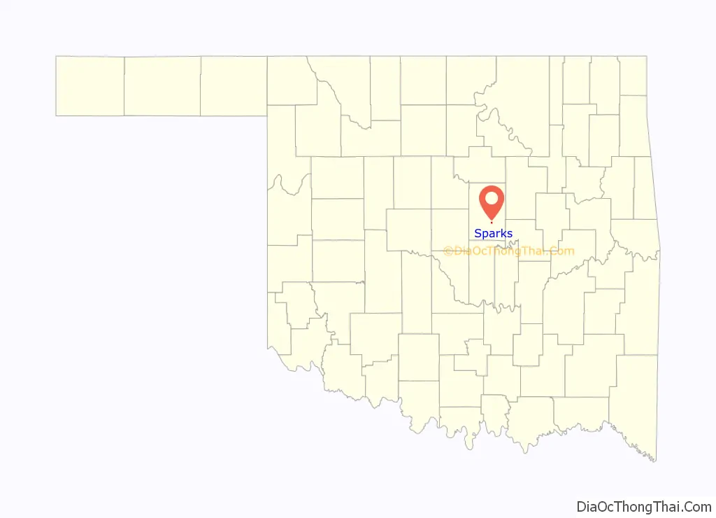
Sparks location map. Where is Sparks town?
History
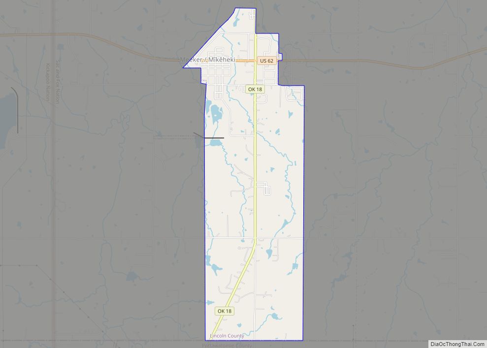
Located on the Deep Fork River in eastern Lincoln County and five miles (8 km) east of State Highway 18 on State Highway 18B, Sparks lies between Meeker and Chandler. The town is situated on land that was once part of the Sac and Fox Reservation, which was dissolved in 1890 when the principal chiefs signed an agreement with the Jerome Commission that each tribal member would receive a 160-acre (0.65 km) allotment. The surplus land was opened to settlement in a land run on September 22, 1891. The original townsite totaled 186 acres (0.75 km) and was homesteaded by William and Tabitha Baker.
The Eastern Oklahoma Railway (acquired by Atchison, Topeka and Santa Fe Railway in 1907) and the Fort Smith and Western Railroad (FS&W) established plans for a town at the junction of the two lines as they began surveying Lincoln County in 1902. The town was named in honor of George T. Sparks, an FS&W director. The first school, known as Ball School, was built southeast of Sparks in the late 1890s. In addition, there were two subscription schools, which charged a dollar per pupil per month. A post office was established on August 30, 1902, and the town eventually had approximately fifty businesses. Soon, two newspapers, the Sparks Review and the Sparks Visitor, were published, both Republican in politics. At 1907 statehood the population was 503.
When farm prices fell after World War I and during the Great Depression, people looked elsewhere for employment. In 1920 and 1930 the federal census reported 472 and 470 citizens, respectively. The last bank closed in 1938, and rail service ceased in 1939. By 1940 the population dropped to 339. The high school closed in 1957, and the grade school closed in 1993. The number of citizens declined from 233 in 1950 to 183 in 1970. At the turn of the 21st century the town, with 137 residents, had a post office, a few churches, a rural water district, a volunteer fire department, and two community centers, one in the Old Sparks School Building, which served as a senior citizens’ center and town library.
On November 5, 2011, a 5.7-magnitude earthquake occurred near Sparks. At the time, it was the largest earthquake in Oklahoma’s history. This record lasted for less than five years; a larger, 5.8-magnitude earthquake broke the record on September 3, 2016.
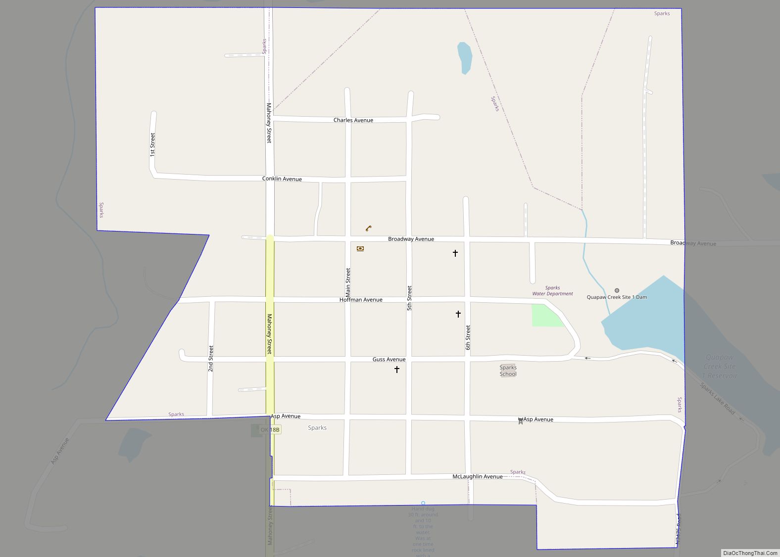
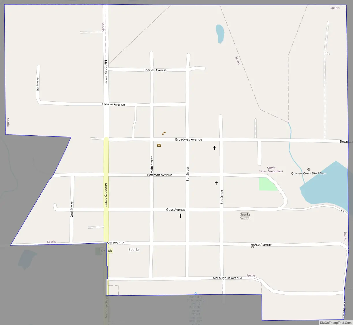
Sparks Road Map
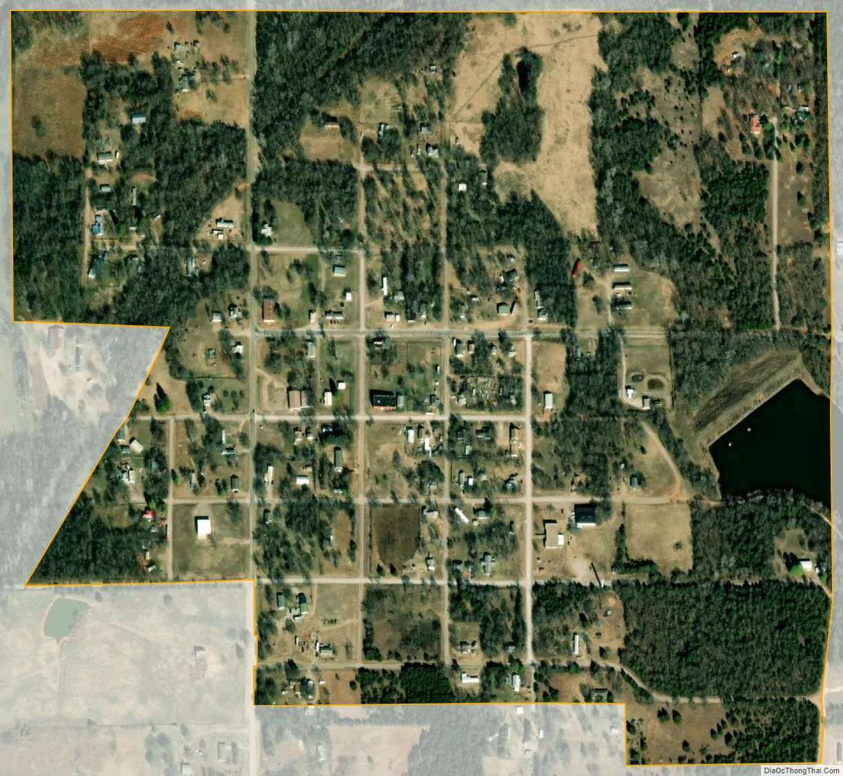
Sparks city Satellite Map
Geography
Sparks is located at 35°36′35″N 96°49′11″W / 35.60972°N 96.81972°W / 35.60972; -96.81972 (35.609854, -96.819861).
According to the United States Census Bureau, the town has a total area of 0.4 square miles (1.0 km), of which 0.4 square miles (1.0 km) is land and 2.50% is water.
See also
Map of Oklahoma State and its subdivision:- Adair
- Alfalfa
- Atoka
- Beaver
- Beckham
- Blaine
- Bryan
- Caddo
- Canadian
- Carter
- Cherokee
- Choctaw
- Cimarron
- Cleveland
- Coal
- Comanche
- Cotton
- Craig
- Creek
- Custer
- Delaware
- Dewey
- Ellis
- Garfield
- Garvin
- Grady
- Grant
- Greer
- Harmon
- Harper
- Haskell
- Hughes
- Jackson
- Jefferson
- Johnston
- Kay
- Kingfisher
- Kiowa
- Latimer
- Le Flore
- Lincoln
- Logan
- Love
- Major
- Marshall
- Mayes
- McClain
- McCurtain
- McIntosh
- Murray
- Muskogee
- Noble
- Nowata
- Okfuskee
- Oklahoma
- Okmulgee
- Osage
- Ottawa
- Pawnee
- Payne
- Pittsburg
- Pontotoc
- Pottawatomie
- Pushmataha
- Roger Mills
- Rogers
- Seminole
- Sequoyah
- Stephens
- Texas
- Tillman
- Tulsa
- Wagoner
- Washington
- Washita
- Woods
- Woodward
- Alabama
- Alaska
- Arizona
- Arkansas
- California
- Colorado
- Connecticut
- Delaware
- District of Columbia
- Florida
- Georgia
- Hawaii
- Idaho
- Illinois
- Indiana
- Iowa
- Kansas
- Kentucky
- Louisiana
- Maine
- Maryland
- Massachusetts
- Michigan
- Minnesota
- Mississippi
- Missouri
- Montana
- Nebraska
- Nevada
- New Hampshire
- New Jersey
- New Mexico
- New York
- North Carolina
- North Dakota
- Ohio
- Oklahoma
- Oregon
- Pennsylvania
- Rhode Island
- South Carolina
- South Dakota
- Tennessee
- Texas
- Utah
- Vermont
- Virginia
- Washington
- West Virginia
- Wisconsin
- Wyoming