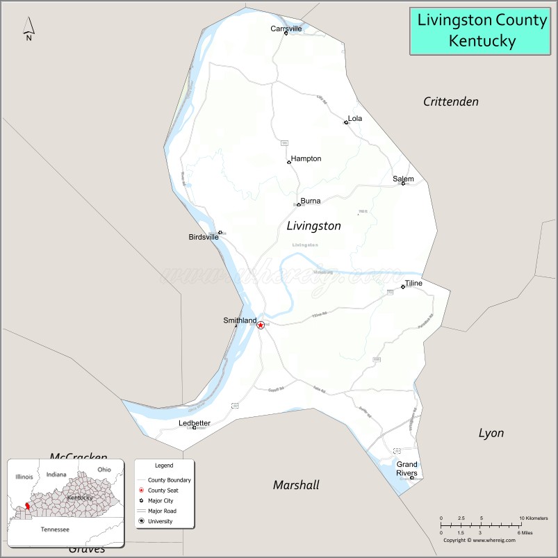
Livingston County is a county located in the U.S. state of Kentucky. As of the 2020 census, the population was 8,888. Its county seat is Smithland and its largest city is Salem, but its largest community is the census-designated place of Ledbetter. The county was established in 1798 from land taken from Christian County and is named for Robert R. Livingston, a member of the Committee of Five that drafted the U.S. Declaration of Independence. The county was strongly pro-Confederate during the American Civil War and many men volunteered for the Confederate Army. Livingston County is part of the Paducah, KY-IL Micropolitan Statistical Area. It is a prohibition or dry county with the exception of Grand Rivers which voted to allow alcohol sales in 2016.
| Name: | Livingston County |
|---|---|
| FIPS code: | 21-139 |
| State: | Kentucky |
| Founded: | 1798 |
| Named for: | Robert R. Livingston |
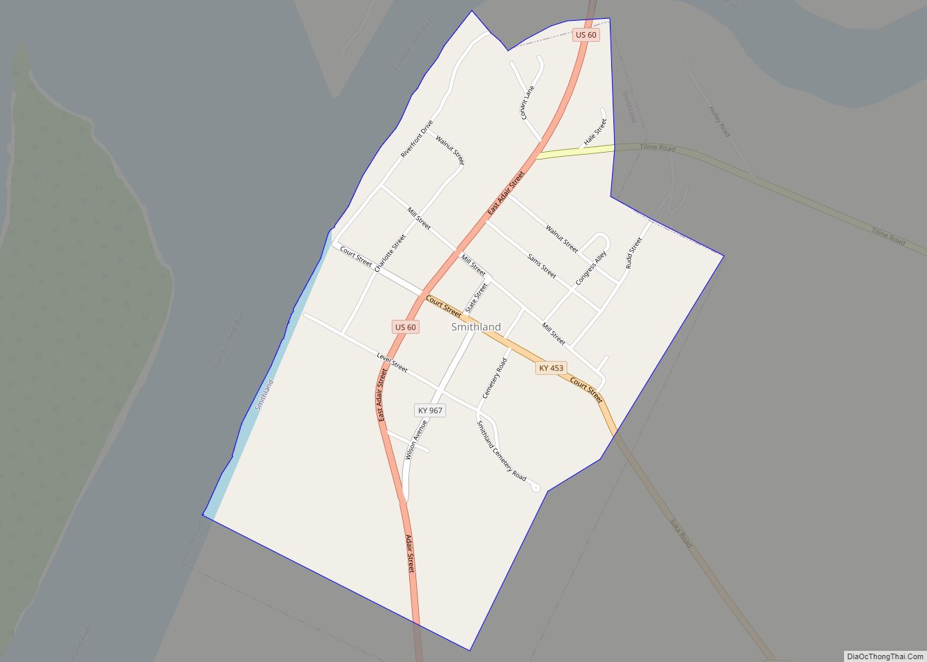
| Seat: | Smithland |
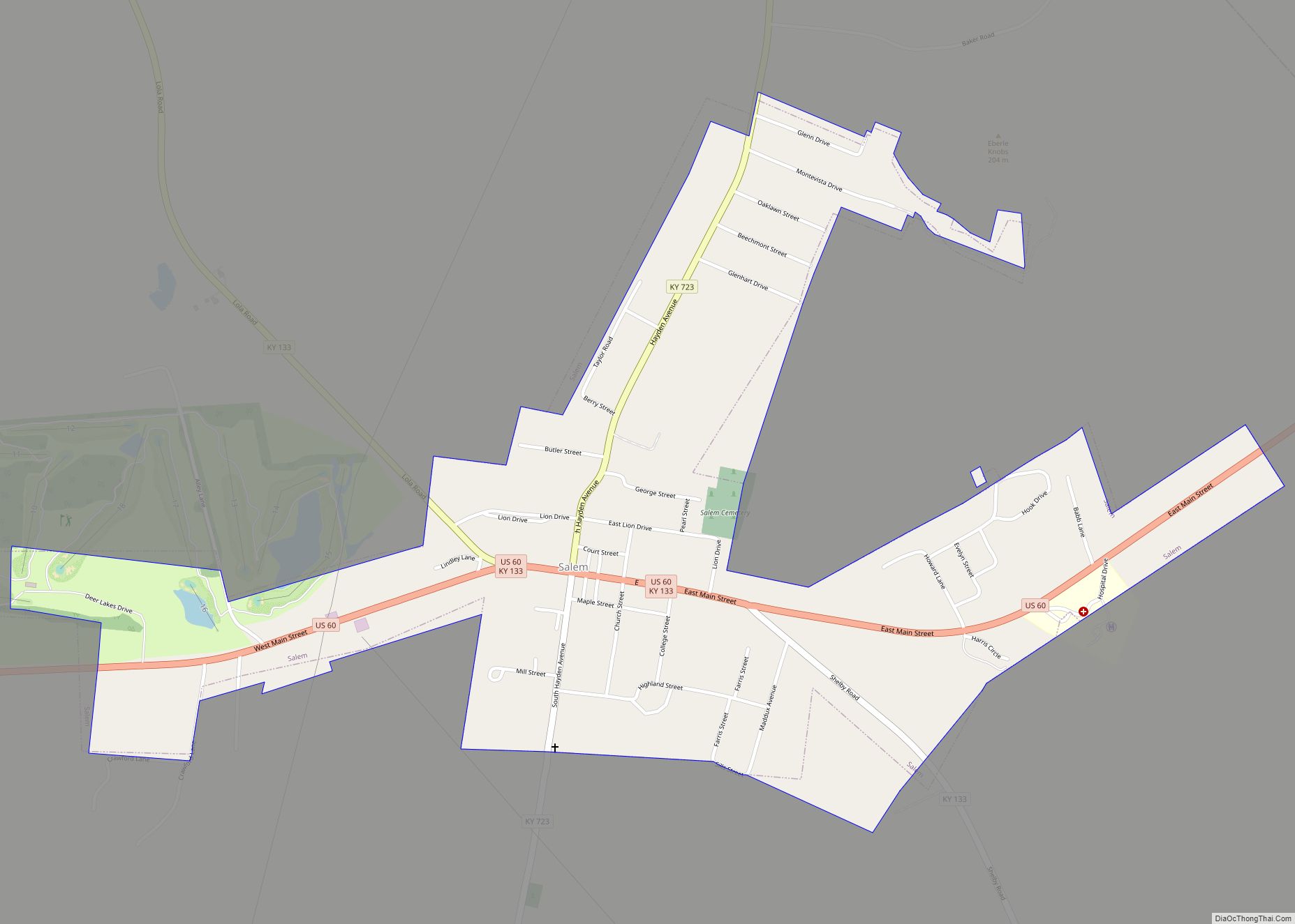
| Largest city: | Salem |
| Total Area: | 342 sq mi (890 km²) |
| Land Area: | 313 sq mi (810 km²) |
| Total Population: | 8,888 |
| Population Density: | 26/sq mi (10/km²) |
| Time zone: | UTC−6 (Central) |
| Summer Time Zone (DST): | UTC−5 (CDT) |
| Website: | livingstoncountyky.com |
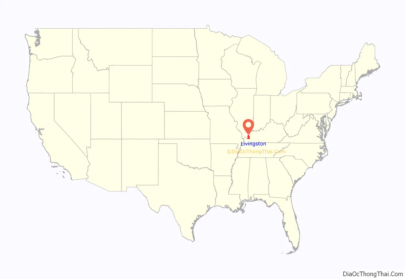
Livingston County location map. Where is Livingston County?

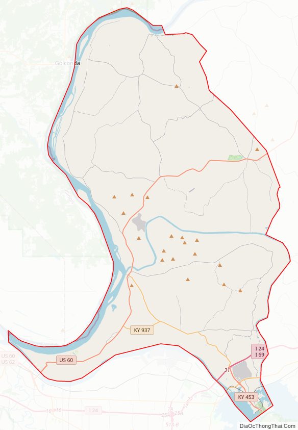
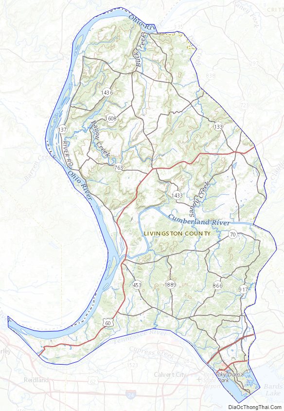
Livingston County Road Map
Geography
According to the U.S. Census Bureau, the county has a total area of 342 square miles (890 km), of which 313 square miles (810 km) is land and 29 square miles (75 km) (8.5%) is water. The western border with Illinois is formed by the Ohio River.
Adjacent counties
- Hardin County, Illinois (north)
- Crittenden County (northeast)
- Lyon County (southeast)
- Marshall County (south)
- McCracken County (southwest)
- Massac County, Illinois (west)
- Pope County, Illinois (northwest)
Major highways
- U.S. Route 60
- U.S. Route 62
- Interstate 24
- Interstate 69
Livingston County Topographic Map
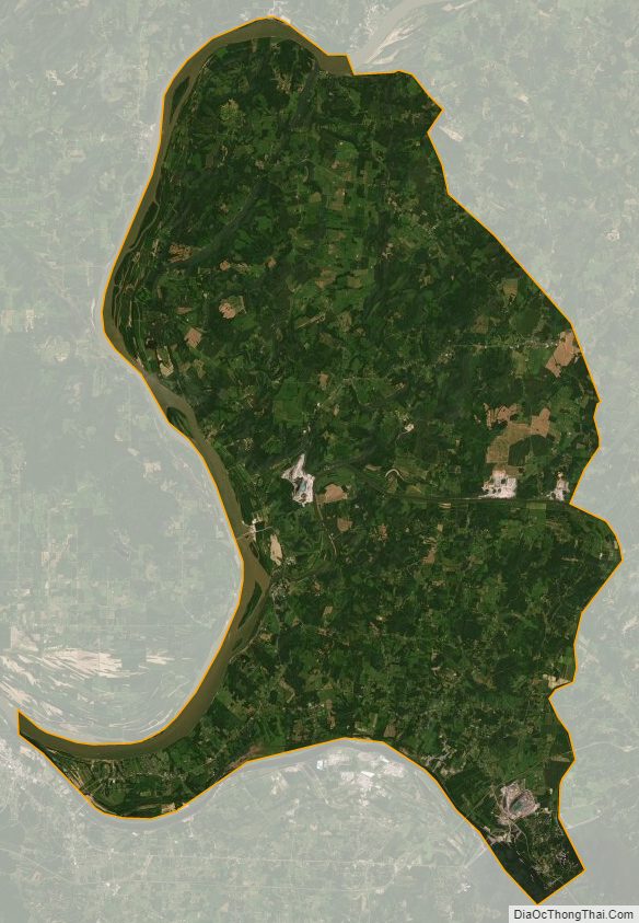
Livingston County Satellite Map
Livingston County Outline Map