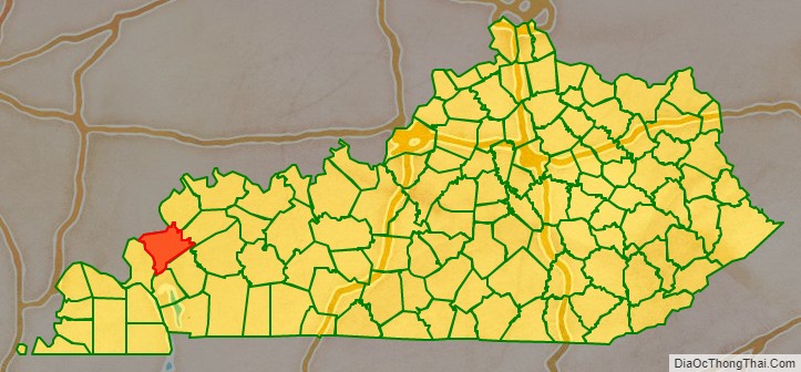
Crittenden County is a county in the U.S. state of Kentucky. At the 2020 census, the population was 8,990. Its county seat is Marion. The county was formed in 1842 and named for John J. Crittenden, senator and future Governor of Kentucky. It is a prohibition or dry county.
| Name: | Crittenden County |
|---|---|
| FIPS code: | 21-055 |
| State: | Kentucky |
| Founded: | 1842 |
| Named for: | John J. Crittenden |
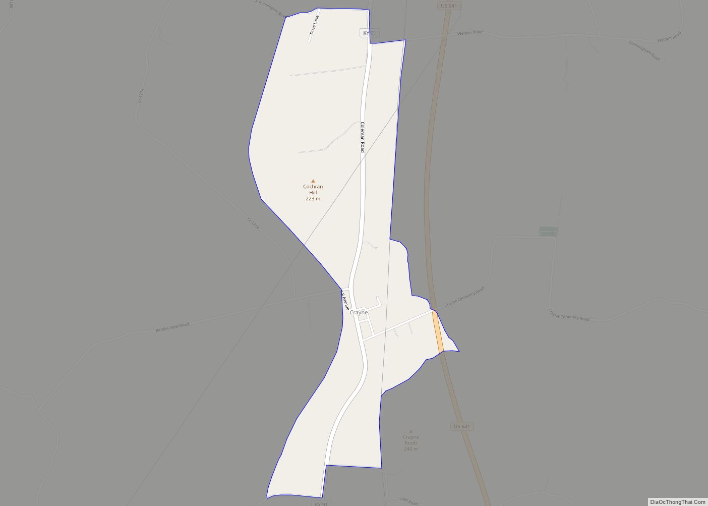
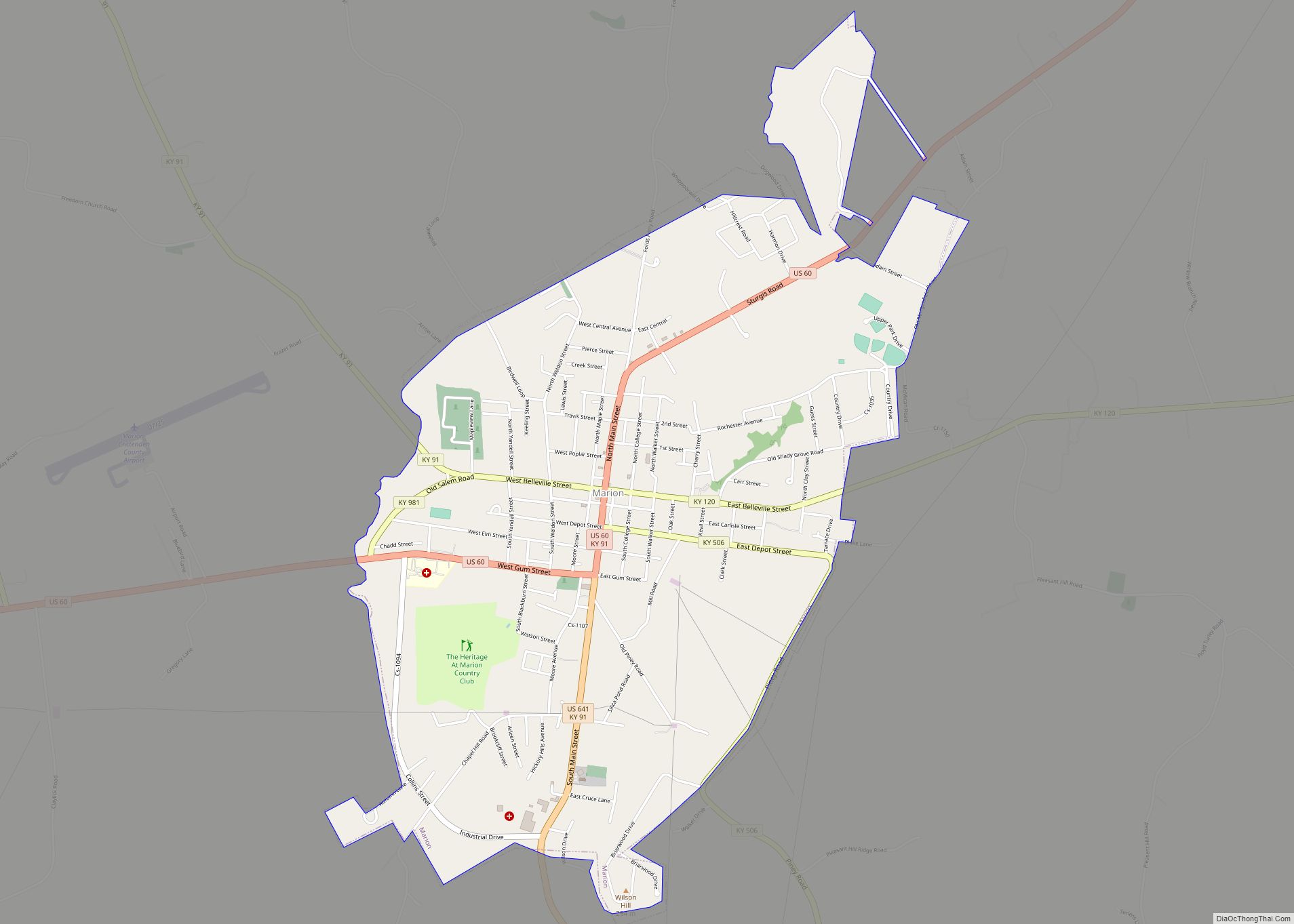
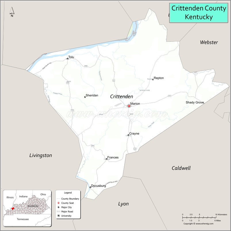
| Seat: | Marion |
| Largest city: | Marion |
| Total Area: | 371 sq mi (960 km²) |
| Land Area: | 360 sq mi (900 km²) |
| Total Population: | 8,990 |
| Population Density: | 24/sq mi (9.4/km²) |
| Time zone: | UTC−6 (Central) |
| Summer Time Zone (DST): | UTC−5 (CDT) |
| Website: | www.marionky.gov/index.shtml |
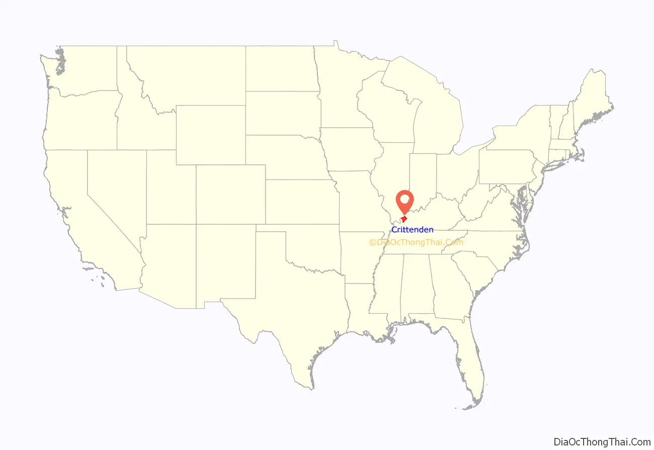
Crittenden County location map. Where is Crittenden County?
History
Crittenden County, located on the Ohio and Tradewater Rivers in the Pennyroyal region of Kentucky, was created by the state legislature on April 1, 1842, from a portion of Livingston County. It became the state’s 91st county, and was named for John J. Crittenden, a U.S. senator, attorney general, and governor of Kentucky. The first county seat was in Crooked Creek, but it was moved to Marion just two years later.
Crittenden County was once crossed by the Chickasaw Road, which was a part of the Old Saline Trace. This footpath was used by Native Americans when hunting game that crossed the Ohio River to the salt licks in Illinois. The first settler in the area was James Armstrong, who arrived from South Carolina in 1786 and built a log cabin. His family joined him five years later, along with other families who came to settle there. Early in the nineteenth century, Flynn’s Ferry was established where the trail crossed the river.
Generally pro-Confederate during the American Civil War, the county saw little fighting, although both armies passed through it repeatedly. However, several skirmishes did place there, and the county courthouse was burned by Confederate Brigadier General Hylan B. Lyon during his raid across western Kentucky in December 1864. Lyon’s men, all Kentuckians, burned a total of seven courthouses, since the Union Army was using them for barracks. The Confederates allowed the locals to remove the records before setting fire to the courthouses.
Crittenden County has valuable deposits of fluorspar, zinc, porcelain, coal, limestone, and sand for making glass. Marion was primarily an industrial town in the 1840s associated with the large fluorspar mining industry. This industry peaked in 1947 and has been in slow decline since. Iron production was also a prominent industry in the mid-19th century, with several furnaces being built in the county, one owned by Andrew Jackson. Other products produced in the county include lumber, glass, modular homes, and blue crystal that was made famous by Ball canning jars. Today the county has a strong agricultural economy. In 1992, 66 percent of the population lived on farms, with 45 percent of the population reporting farming as their primary occupation.
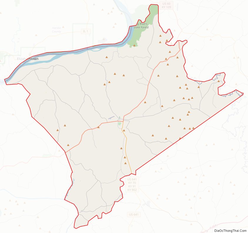
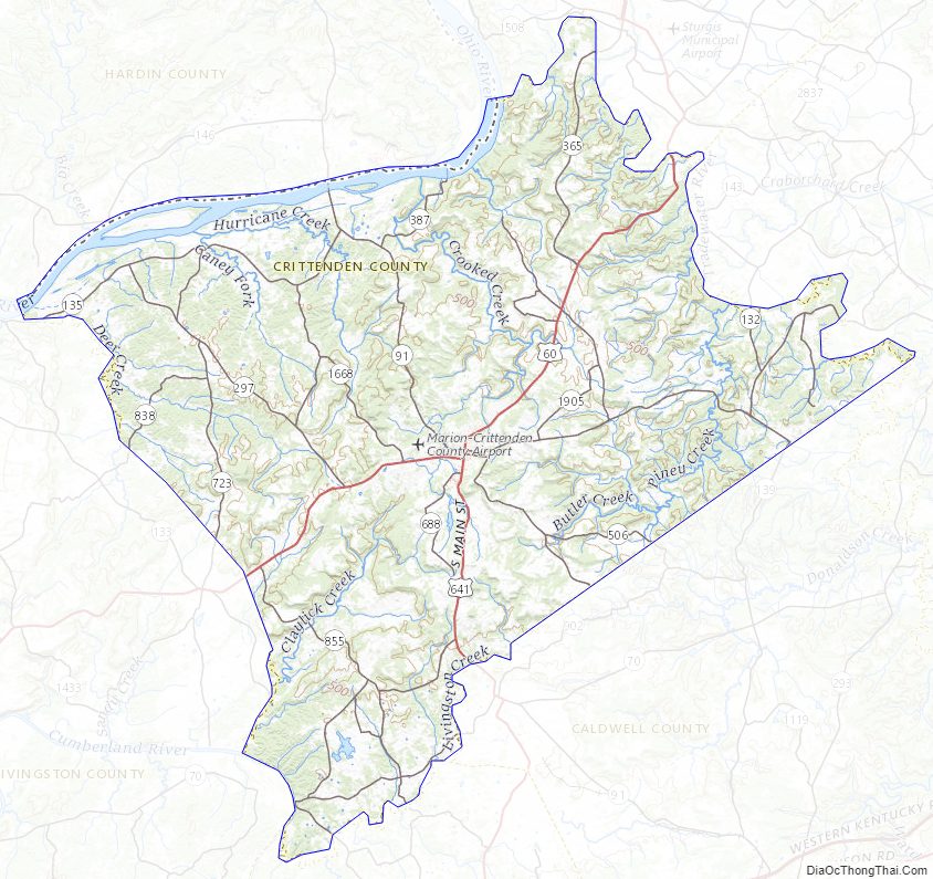
Crittenden County Road Map
Geography
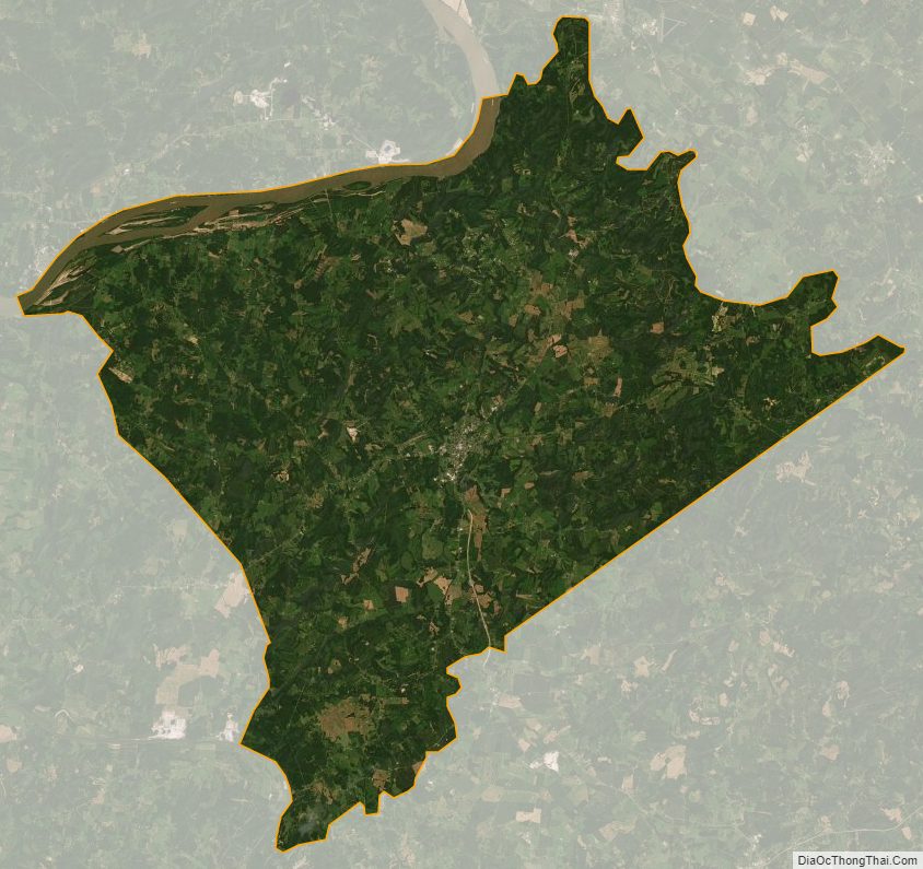
According to the U.S. Census Bureau, the county has a total area of 371 square miles (960 km), of which 360 square miles (930 km) is land and 11 square miles (28 km) (3.0%) is water. Its northwestern border with Illinois is formed by the Ohio River.
Major highways
- U.S. Route 60
- U.S. Route 641
- Kentucky Route 70
- Kentucky Route 91
- Kentucky Route 120
- Kentucky Route 295
Adjacent counties
- Hardin County, Illinois (northwest)
- Union County (north)
- Webster County (northeast)
- Caldwell County (southeast)
- Lyon County (south)
- Livingston County (west)
Crittenden County Topographic Map
Crittenden County Satellite Map
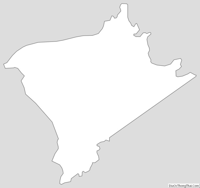
Crittenden County Outline Map