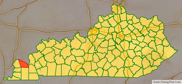
McCracken County is a county located in the far western portion of U.S. state of Kentucky. As of the 2020 census, the population was 67,875. The county seat and only municipality is Paducah. McCracken County was the 78th county formed in the state, having been created in 1825. It is part of the historic Jackson Purchase, territory sold by the Chickasaw people to General Andrew Jackson and Governor Isaac Shelby; this territory was located at the extreme western end of Kentucky.
Paducah developed based on its “River and Rail” traffic. Steamboats, barges, and the Illinois Central Railroad were the basis of the economy into the late 20th century. In the 1920s, the Illinois Central built the largest operating and maintenance base in the world here.
In the 21st century, McCracken County is part of the Paducah, KY-IL Micropolitan Statistical Area.
| Name: | McCracken County |
|---|---|
| FIPS code: | 21-145 |
| State: | Kentucky |
| Founded: | 1825 |
| Named for: | Virgil McCracken |
| Seat: | Paducah |
| Largest city: | Paducah |
| Total Area: | 268 sq mi (690 km²) |
| Land Area: | 249 sq mi (640 km²) |
| Total Population: | 67,875 |
| Population Density: | 250/sq mi (98/km²) |
| Time zone: | UTC−6 (Central) |
| Summer Time Zone (DST): | UTC−5 (CDT) |
| Website: | mccrackencountyky.gov |
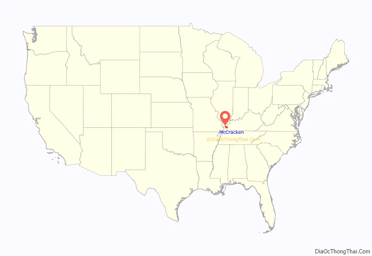
McCracken County location map. Where is McCracken County?
History
McCracken County was founded in 1825 from Hickman County; it was named for Captain Virgil McCracken of Woodford County, Kentucky, who was killed in the Battle of Frenchtown in southeastern Michigan during the War of 1812.
The Battle of Paducah occurred during the American Civil War in McCracken County on March 25, 1864. The skirmish between the Union and Confederate troops ended in a Confederate victory. A total of 140 men were killed during the battle.
In addition to having an economy influenced by river traffic, the county’s economy was strengthened by construction of the railroad to Paducah. The railroads based operations and maintenance in Paducah, and the men in many families had careers as firemen, repairment, and related jobs.
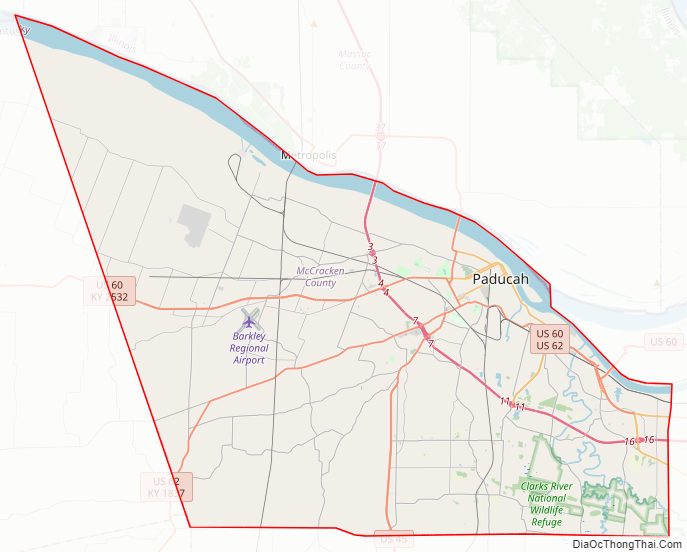
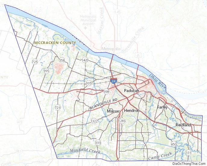
McCracken County Road Map

Geography
According to the United States Census Bureau, the county has a total area of 268 square miles (690 km), of which 249 square miles (640 km) is land and 19 square miles (49 km) (7.2%) is water. The county’s northern border with Illinois is formed by the Ohio River, and its northeastern border by the Tennessee River.
Adjacent counties
- Massac County, Illinois (north)
- Livingston County (northeast)
- Marshall County (east)
- Graves County (south)
- Carlisle County (southwest)
- Ballard County (west)
National protected area
- Clarks River National Wildlife Refuge (part)
McCracken County Topographic Map
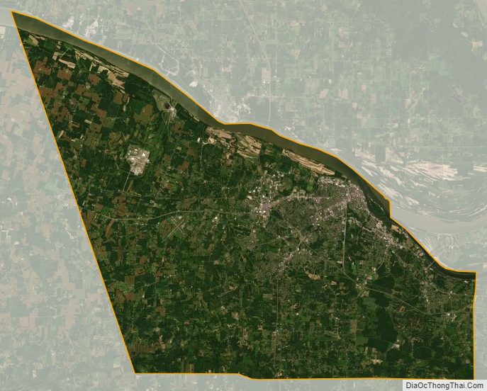
McCracken County Satellite Map
McCracken County Outline Map