Llano County (/ˈlænoʊ/) is a county located on the Edwards Plateau in the U.S. state of Texas. As of the 2020 census, its population was 21,243. Its county seat is Llano, and the county is named for the Llano River.
During the American Civil War, the county was on the frontier, and Llano County’s soldiers spent more time defending against Indian attacks than they did invading Yankees. In 1869, pioneer rancher John Wesley Snyder led a cattle drive from Llano County along the Chisholm Trail to Abilene, Kansas.
| Name: | Llano County |
|---|---|
| FIPS code: | 48-299 |
| State: | Texas |
| Founded: | 1856 |
| Named for: | Llano River |
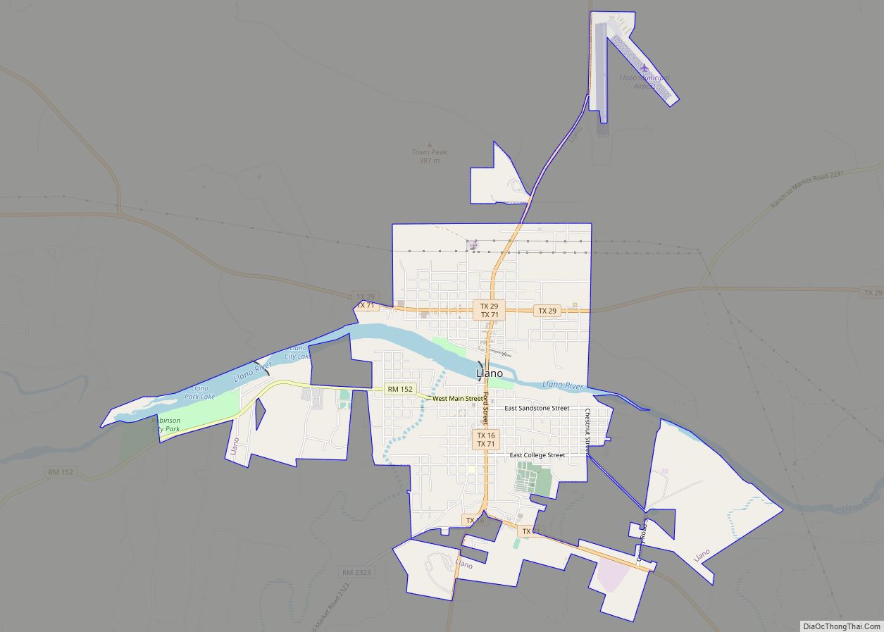
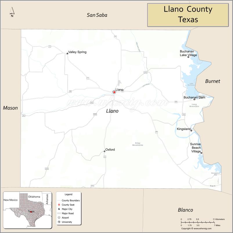
| Seat: | Llano |
| Largest city: | Llano |
| Total Area: | 966 sq mi (2,500 km²) |
| Land Area: | 934 sq mi (2,420 km²) |
| Total Population: | 21,243 |
| Population Density: | 22/sq mi (8.5/km²) |
| Time zone: | UTC−6 (Central) |
| Summer Time Zone (DST): | UTC−5 (CDT) |
| Website: | www.co.llano.tx.us |
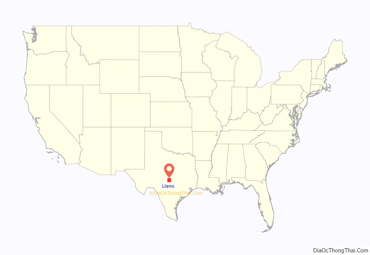
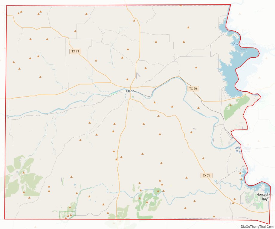
Llano County location map. Where is Llano County?
History
- Peaceful Tonkawa tribe first inhabitants
- 1842 April 20 – Adelsverein Fisher-Miller Land Grant sets aside three million acres (12,000 km) to settle 600 families and single men of German, Dutch, Swiss, Danish, Swedish, and Norwegian ancestry in Texas.
- 1844, June 26 – Henry Francis Fisher sells interest in land grant to Adelsverein
- 1845 December 20 – Henry Francis Fisher and Burchard Miller sell their rights in the land grant to Adelsverein.
- 1847 Meusebach–Comanche Treaty Bettina commune, last Adelsverein community in Texas, is established by a group of free thinking intellectuals, and named after German liberal Bettina Brentano von Arnim. The community fails within a year due to lack of any governing structure and conflict of authority.
- 1852 Settlers at Tow and Bluffton on the Colorado River.
- 1854 May 14–15, The Texas State Convention of Germans meet in San Antonio and adopt a political, social and religious platform, including: 1) Equal pay for equal work; 2) Direct election of the President of the United States; 3) Abolition of capital punishment; 4) “Slavery is an evil, the abolition of which is a requirement of democratic principles..”; 5) Free schools – including universities – supported by the state, without religious influence; and 6) Total separation of church and state.
- 1860 Population 1,101 – 21 slaveholders, 54 slaves
- 1862 One hundred Llano County volunteers join Major John George Walker Division of the Confederate States Army.
- 1864, April – A cavalry company is formed in Llano County under Captain Brazeal to defend the area from Indian attacks. It served under Brig. Gen. John David McAdoo until the war’s end, when it disbanded in June 1865.
- 1873, August 4 – Packsaddle Mountain becomes the site of the region’s last battle with the Indians. The county’s farming economy begins to grow after threats of Indian attacks cease.
- 1892, June 7 – Llano branch of Austin and Northwestern Railroad arrives
- 1893 Completion of County Courthouse, designed by Austin architect A O Watson
- 1895 Llano County Jail erected by the Pauly Jail Building and Manufacturing Company of St Louis, MO
- 1900 Frank Teich establishes the Teich Monument Works
- 1901 Llano Women’s Literary Society organized – 16 charter members
- 1901 The Victorian style Antlers Hotel, a railroad resort in Kingsland, opened for business.
Darmstadt Society of Forty
Count Castell of the Adelsverein negotiated with the separate Darmstadt Society of Forty to colonize 200 families on the Fisher–Miller Land Grant in Texas. In return, they were to receive $12,000 in money, livestock, and equipment, and provisions for a year. After the first year, the colonies were expected to support themselves. The colonies attempted were Castell, Leiningen, Bettina, Schoenburg and Meerholz in Llano County; Darmstädler Farm in Comal County; and Tusculum in Kendall County. Of these, only Castell survives. The colonies failed after the Adelsverein funding expired, and also due to conflict of structure and authorities. Some members moved to other Adelsverein settlements in Texas. Others moved elsewhere, or returned to Germany.
Library book purges
Llano county libraries were purged of books containing nudity, sex education, and discussion of racism in 2021 and 2022 by county commissioners. Titles removed include In the Night Kitchen, Caste: The Origins of Our Discontents, and Between the World and Me. Librarian Suzette Baker in Kingsland was fired for her refusal to remove books from the shelves. The library board voted unanimously to close its meetings to the public in 2022.
Llano County Road Map
Geography
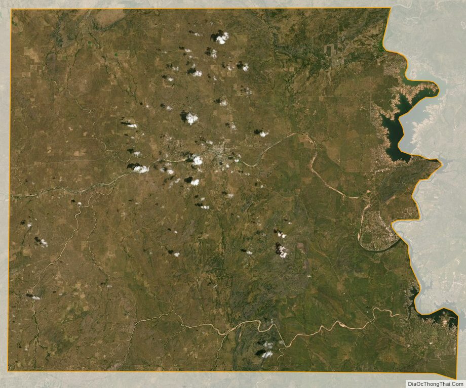
According to the U.S. Census Bureau, the county has a total area of 966 square miles (2,500 km), of which 934 square miles (2,420 km) are land and 32 square miles (83 km) (3.3%) are covered by water.
Enchanted Rock, a designated state natural area and popular tourist destination, is located in southern Llano county.
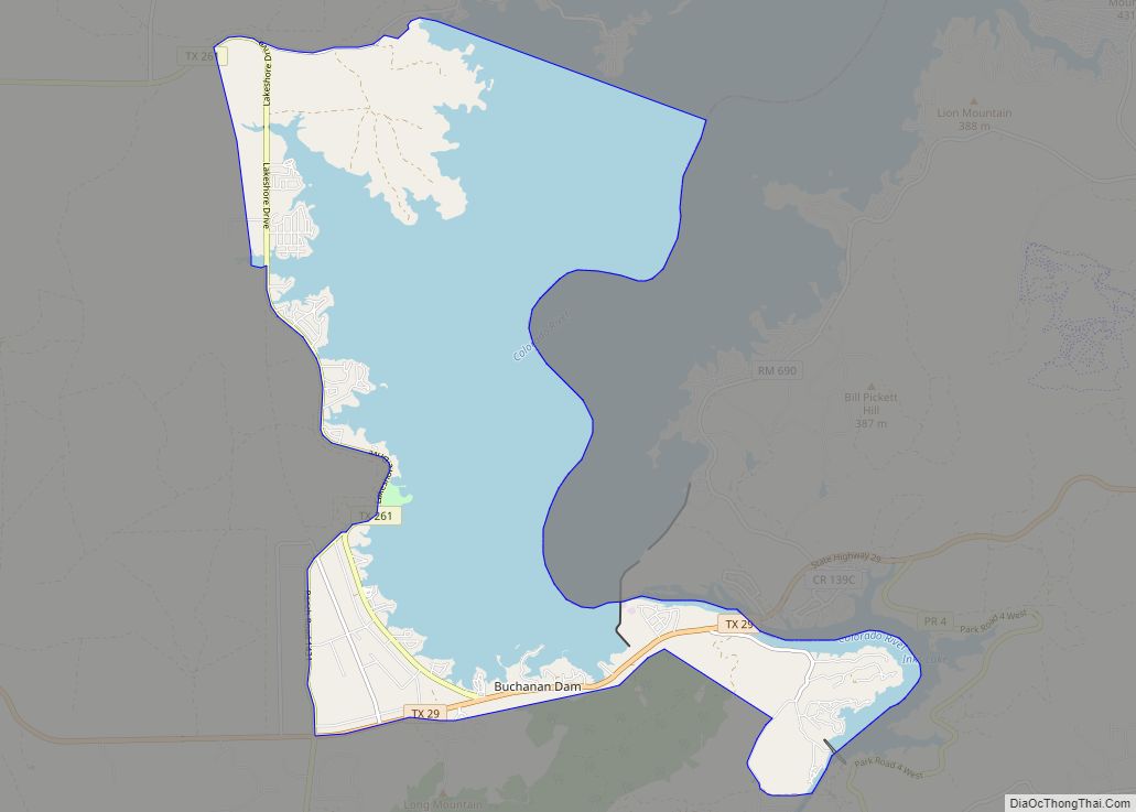
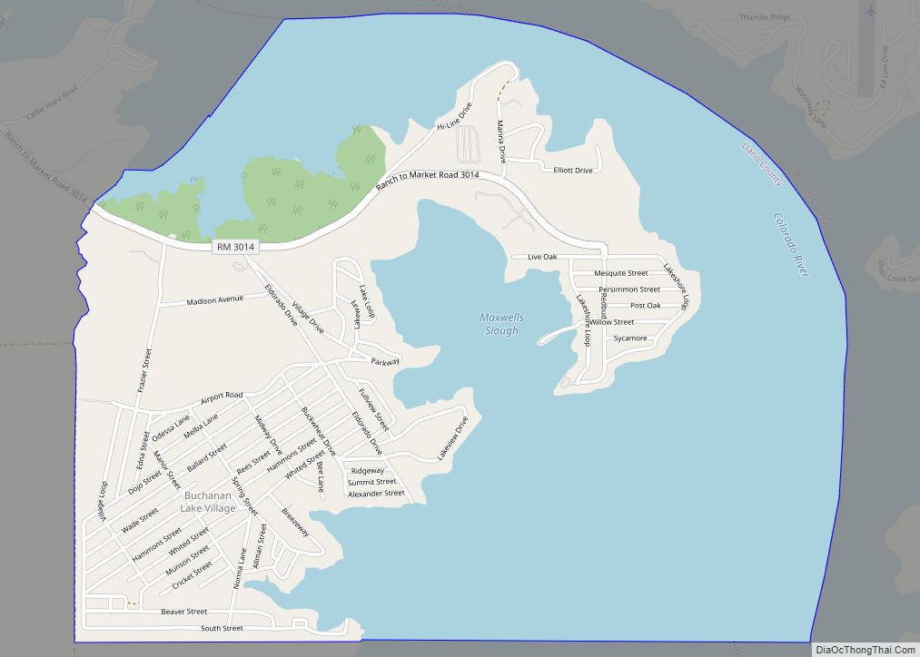
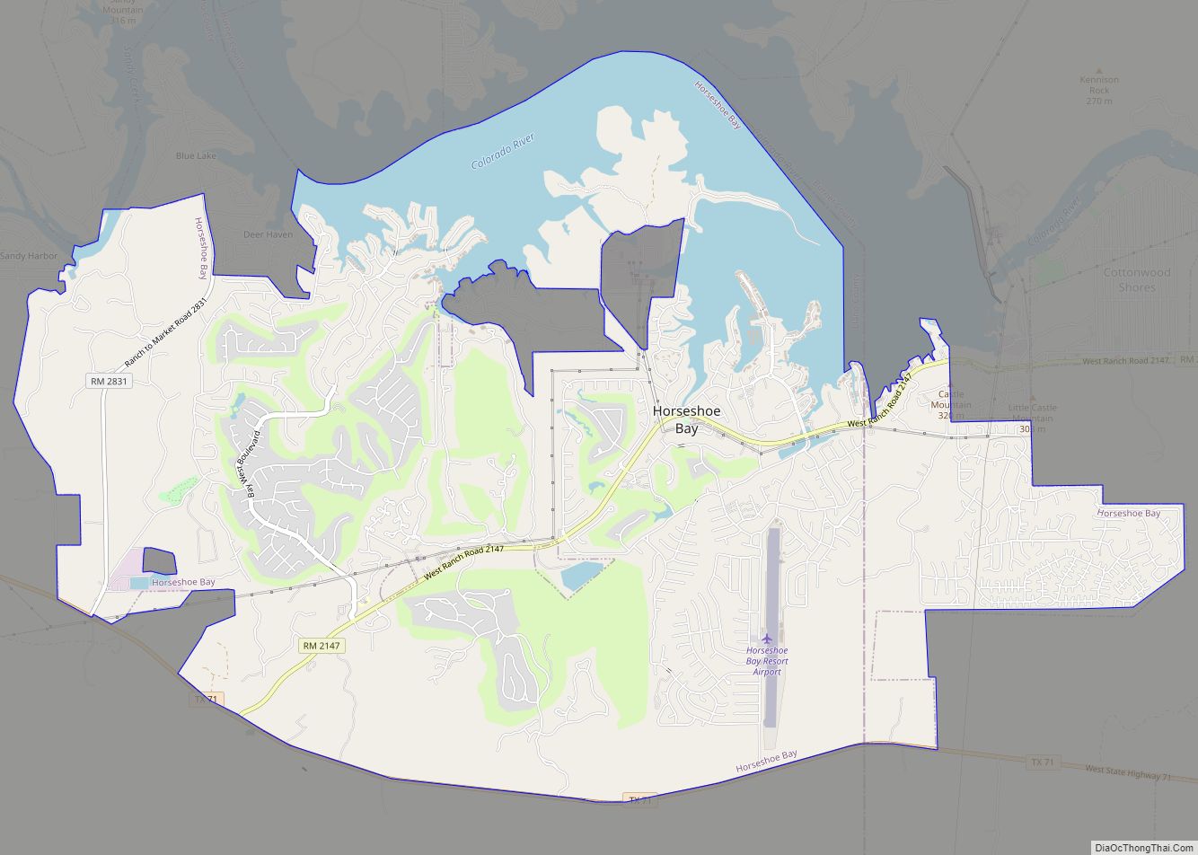
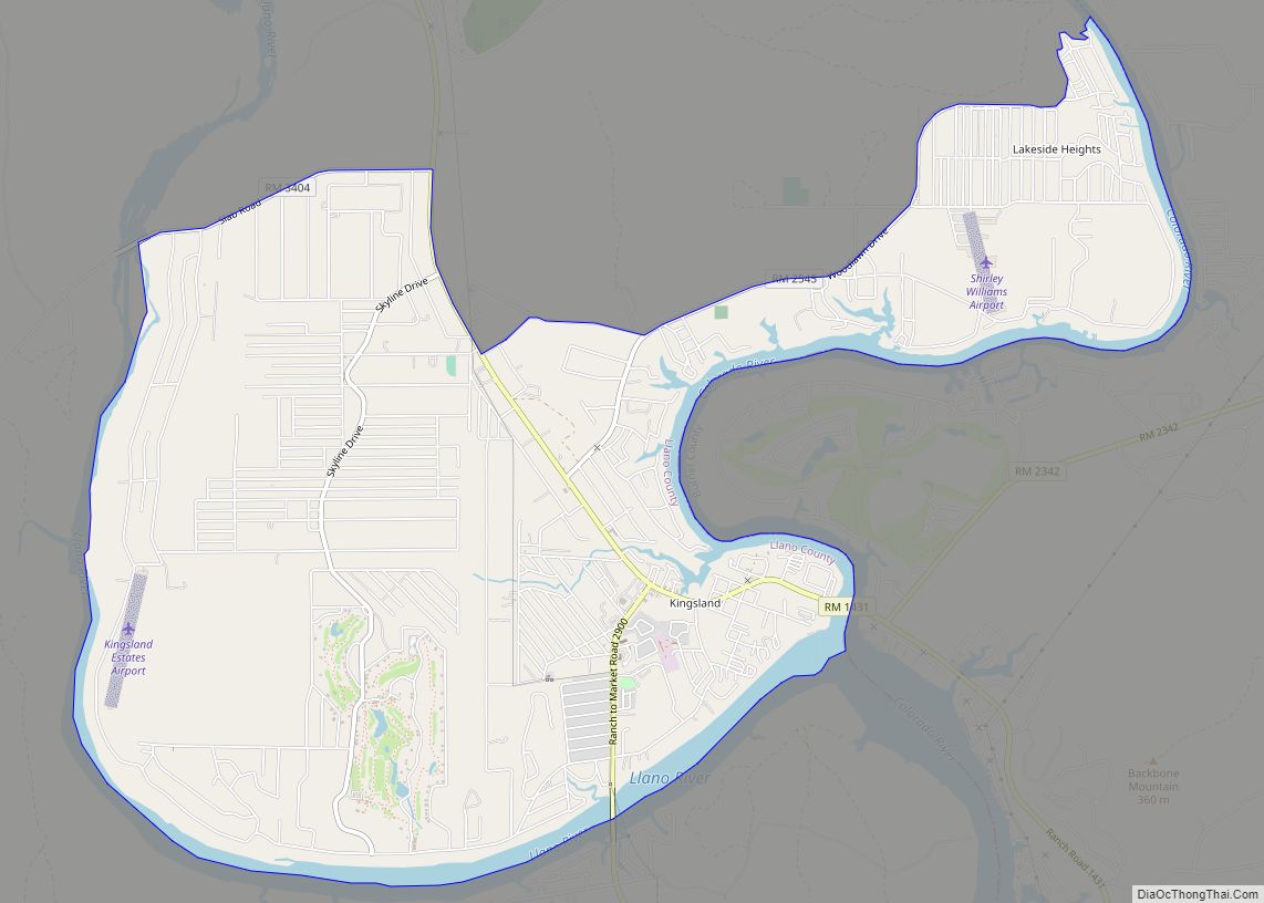
Two significant rivers, the Llano and the Colorado, flow through Llano County. These rivers contribute to Lake Buchanan, Inks Lake, and Lake Lyndon B. Johnson, which are all located partially within the county.
Major highways
- State Highway 16
- State Highway 29
- State Highway 71
- State Highway 261
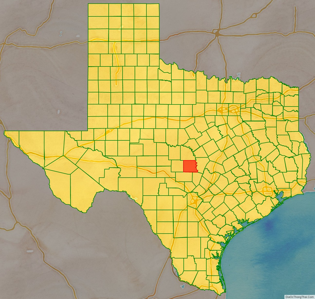
Adjacent counties
- San Saba County (north)
- Burnet County (east)
- Blanco County (southeast)
- Gillespie County (south)
- Mason County (west)
Llano County Topographic Map
Llano County Satellite Map
Llano County Outline Map