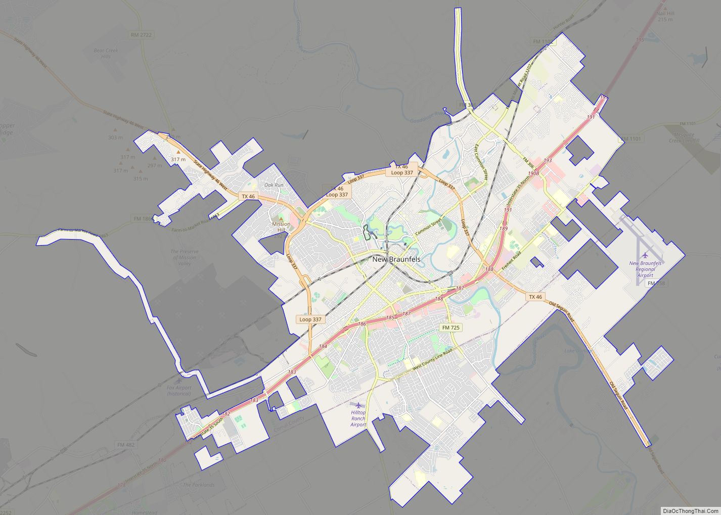
Comal County (/ˈkoʊmæl/ KOH-mal) is a county located on the Edwards Plateau in the U.S. state of Texas. As of the 2020 census, its population was 161,501. Comal County is known for its rich German-Texan and European history. Its county seat is New Braunfels.
Comal County is part of the San Antonio-New Braunfels, TX metropolitan statistical area.
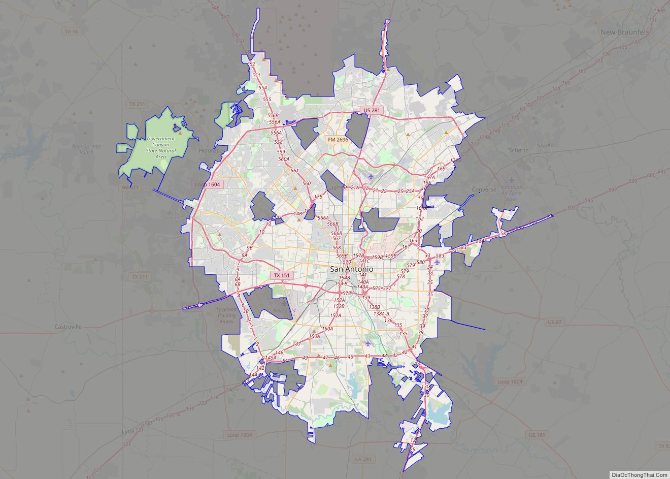
Along with Hays and Kendall Counties, Comal was listed in 2017 of the nation’s 10 fastest-growing large counties with a population of at least 10,000. In 2017, Comal County was second on the list; it grew by 5,675 newcomers, or 4.4% from 2015 to 2016. Kendall County was the second-fastest growing county in the nation in 2015 to 2016, grew by 5.16%. Hays County, third on the national list, had nearly 10,000 new residents during the year. As a result of this growth, the counties have experienced new home construction, traffic congestion, and greater demand for public services. Bexar County, which includes San Antonio, grew by 1.75% during the year, but its number of new residents exceeded 33,000.
| Name: | Comal County |
|---|---|
| FIPS code: | 48-091 |
| State: | Texas |
| Founded: | 1846 |
| Seat: | New Braunfels |
| Largest city: | New Braunfels |
| Total Area: | 575 sq mi (1,490 km²) |
| Land Area: | 559 sq mi (1,450 km²) |
| Total Population: | 161,501 |
| Time zone: | UTC−6 (Central) |
| Summer Time Zone (DST): | UTC−5 (CDT) |
| Website: | www.co.comal.tx.us |
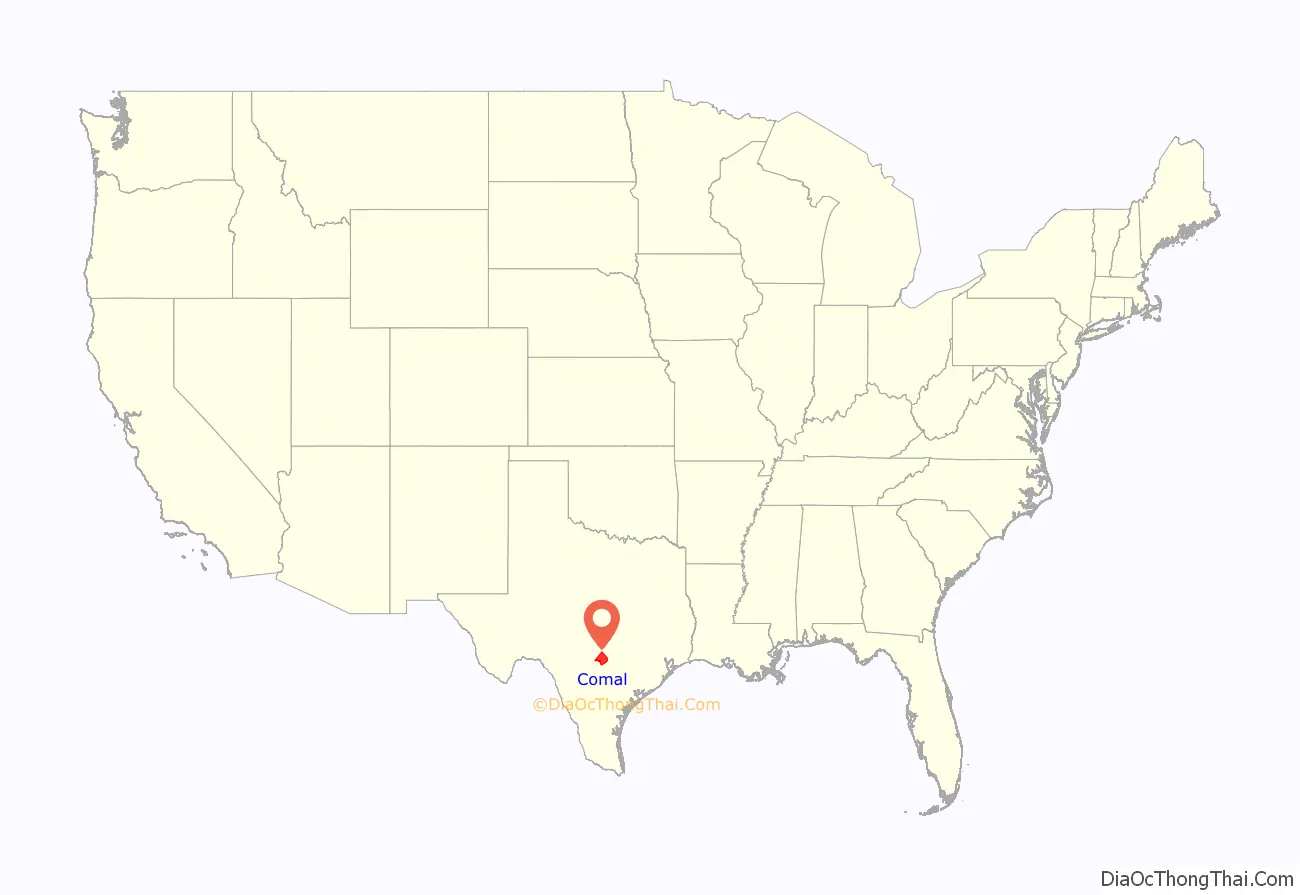
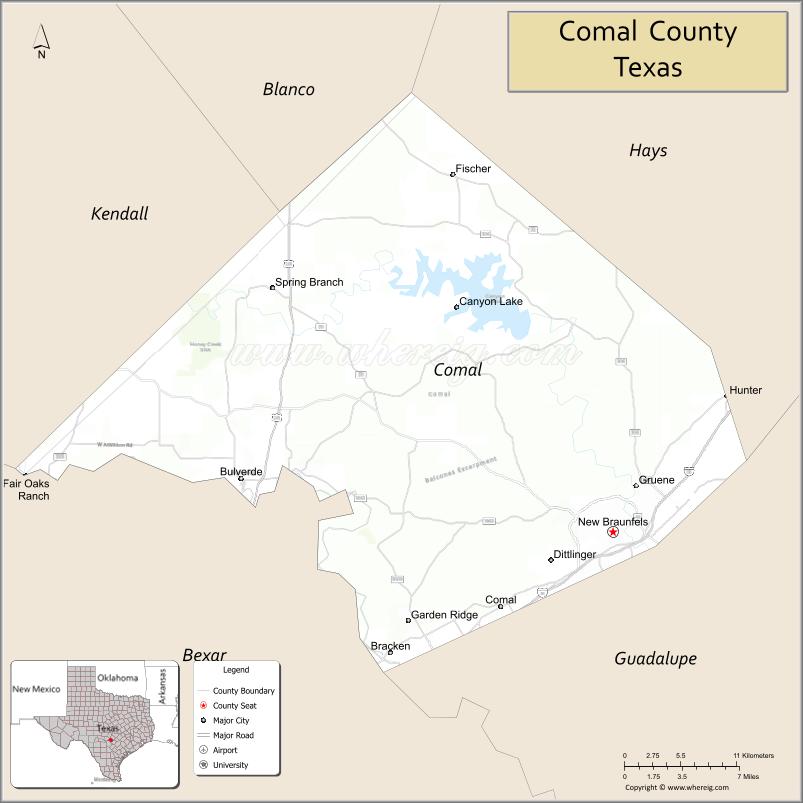
Comal County location map. Where is Comal County?
History
- Early native American inhabitants include Tonkawa, Waco, Karankawa and Lipan Apache.
- 1700-1758 The area becomes known as “Comal”, Spanish for “flat dish”. Nuestra Senora de Guadalupe Mission at Comal Springs.
- 1825 Coahuila y Tejas issues land grant for Comal Springs to Juan Martín de Veramendi.
- 1842 Adelsverein organized in Germany to promote emigration to Texas. Fisher-Miller Land Grant sets aside three million acres (12,000 km) to settle 600 families and single men of German, Dutch, Swiss, Danish, Swedish, and Norwegian ancestry in Texas.
- 1844, June 26 – Henry Francis Fisher sells interest in land grant to Adelsverein
- 1845 Prince Carl of Solms-Braunfels secures title to 1,265 acres (5.12 km) of the Veramendi grant, including the Comal Springs and River, for the Adelsverein. Thousands of German immigrants are stranded at port of disembarkation Indianaola on Matagorda Bay. With no food or shelters, living in holes dug into the ground, an estimated 50% die from disease or starvation. The living begin to walk to their destinations hundreds of miles away. 200 German colonists who walked from Indianola found the town of New Braunfels at the crossing of the San Antonio-Nacogdches Road on the Guadalupe River. John O. Meusebach arrives in Galveston.
- 1846 March – Texas legislature forms Comal County from the Eighth Precinct of Bexar County. New Braunfels is the county seat.
- 1850 Survey of 130 German farms in Comal reveals no slave laborers.
- 1852 Neu-Braunfelser Zeitung begins publication, initially only in German, deriving its name 16th Century Germany’s prototype of a newspaper titled Zeitung.
- 1854 County is divided into eight public school districts. The Texas State Convention of Germans meet in San Antonio and adopt a political, social and religious platform, including: 1) Equal pay for equal work; 2) Direct election of the President of the United States; 3) Abolition of capital punishment; 4) “Slavery is an evil, the abolition of which is a requirement of democratic principles..”; 5) Free schools – including universities – supported by the state, without religious influence; and 6) Total separation of church and state.
- 1858 Final county boundaries determination with the separation of part of western Comal County to Blanco and Kendall counties. New Braunfels votes in a school tax.
- 1861 Comal County votes for secession from the Union. Contributes three all-German volunteer companies to the Confederate cause.
- 1887 Faust Street Bridge built over the Guadalupe River.
- 1898 Comal County limestone courthouse erected. Romanesque Revival style. Architect James Riely Gordon.
- 1920s – County establishes itself as a manufacturing and shipping center for textiles, garments, flour, and construction materials.
- 1960 Four students at St. Mary’s University San Antonio discover Natural Bridge Caverns, the largest known commercial caverns in the state of Texas.
- 1961 Comal’s first Wurstfest draws a crowd of 2,000.
- 1964 Canyon Lake impoundment, boosting tourism and related industries.
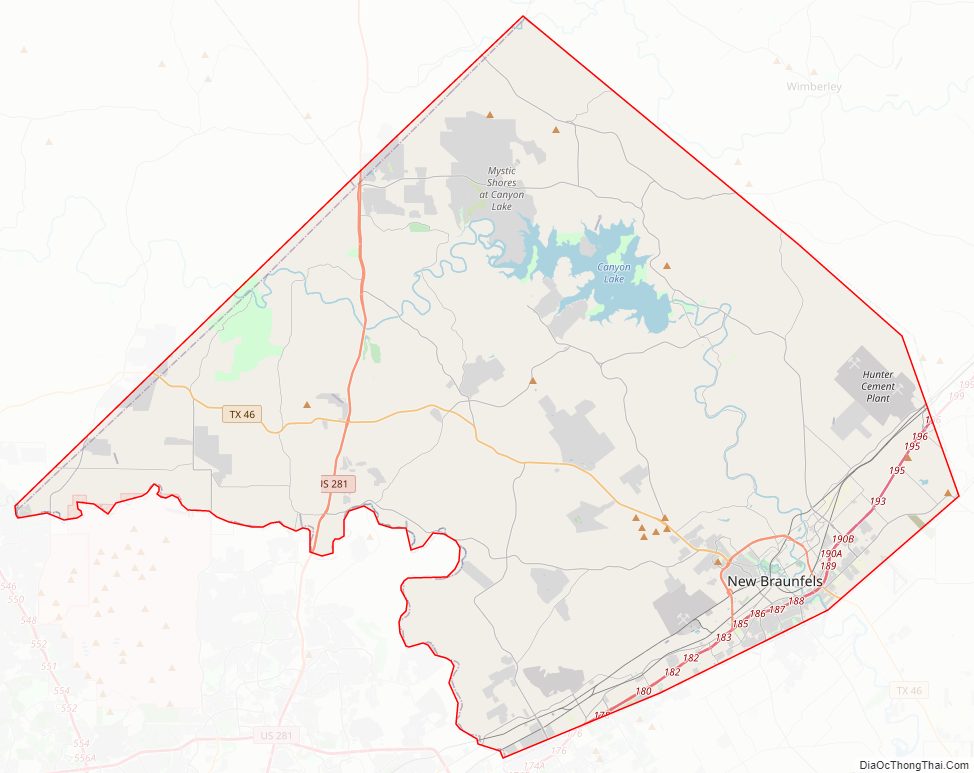
Comal County Road Map
Geography
According to the U.S. Census Bureau, the county has a total area of 575 square miles (1,490 km), of which 15 square miles (39 km) (2.7%) is covered by water.
The Balcones Escarpment runs northeastward through the county, generally just west of Interstate 35. West of the escarpment are the rocky hills and canyons of the Texas Hill Country; to the east are the rolling grasslands of the coastal plains.
The Guadalupe River flows generally southeastward through the county, and is impounded by Canyon Lake. The Comal River rises from the Comal Springs in New Braunfels, and quickly joins the Guadalupe River.
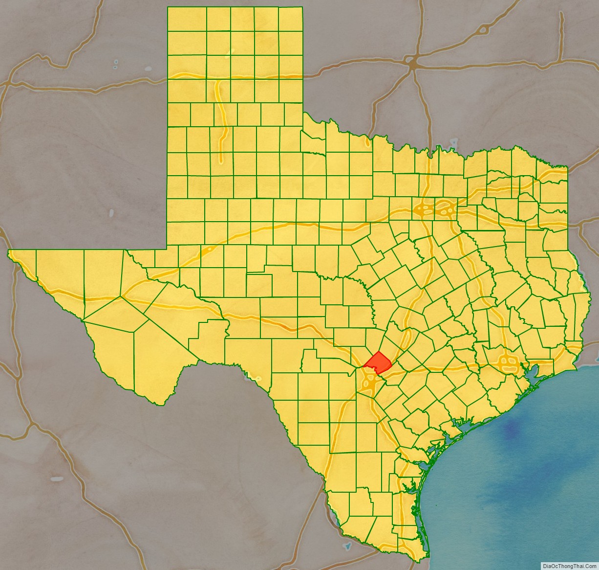
Adjacent counties
- Blanco County (north)
- Hays County (northeast)
- Guadalupe County (southeast)
- Bexar County (southwest)
- Kendall County (northwest)
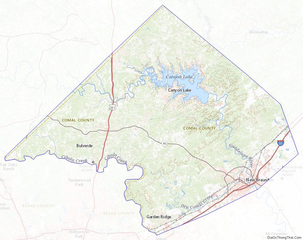
Comal County Topographic Map
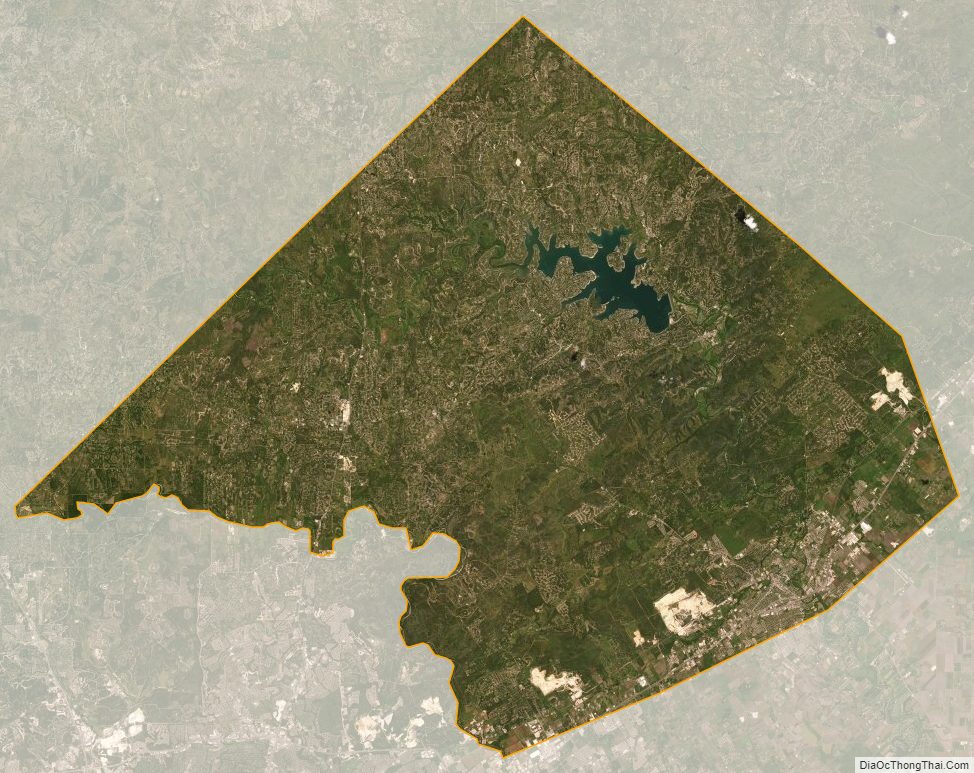
Comal County Satellite Map
Comal County Outline Map