San Saba County is a county located on the Edwards Plateau in western Central Texas, United States. As of the 2020 census, its population was 5,730. Its county seat is San Saba. The county is named after the San Saba River, which flows through the county.
| Name: | San Saba County |
|---|---|
| FIPS code: | 48-411 |
| State: | Texas |
| Founded: | 1856 |
| Named for: | San Saba River |
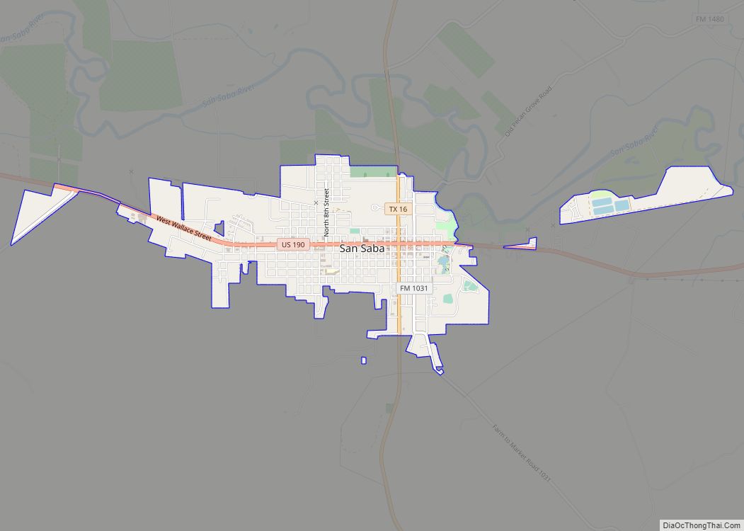
| Seat: | San Saba |
| Largest town: | San Saba |
| Total Area: | 1,138 sq mi (2,950 km²) |
| Land Area: | 1,135 sq mi (2,940 km²) |
| Total Population: | 5,730 |
| Population Density: | 5.0/sq mi (1.9/km²) |
| Time zone: | UTC−6 (Central) |
| Summer Time Zone (DST): | UTC−5 (CDT) |
| Website: | www.co.san-saba.tx.us |
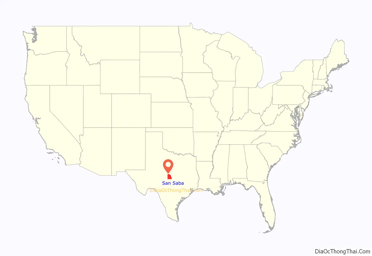
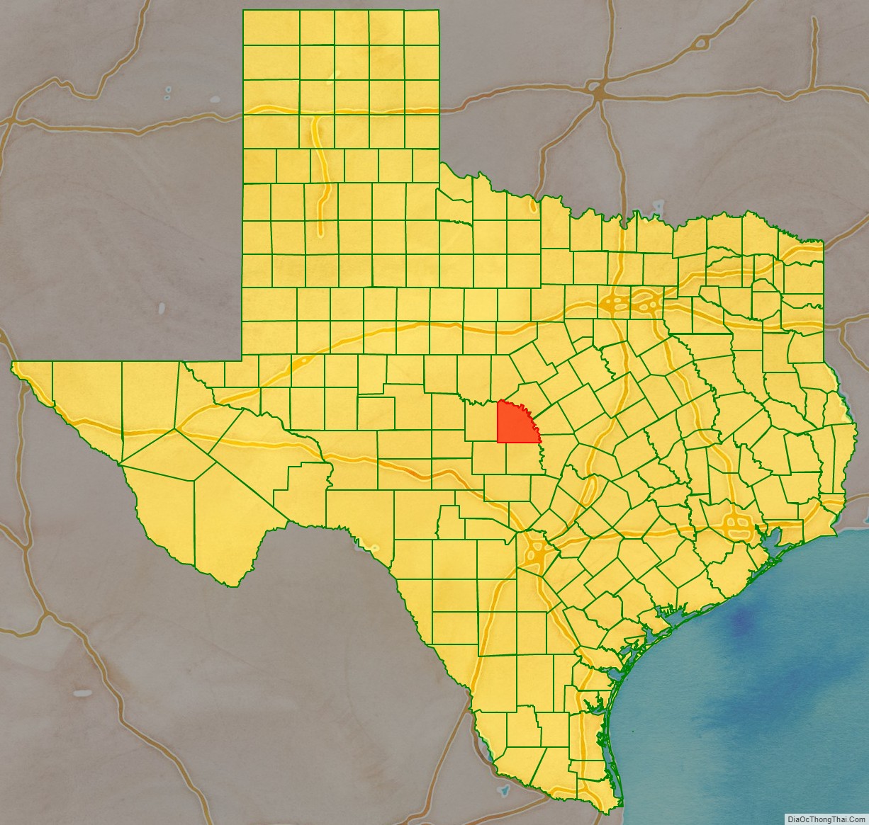
San Saba County location map. Where is San Saba County?
History
Early history
Early Native American inhabitants of the area included Tonkawa, Caddo, Apache, and Comanche. In 1732, Governor of Spanish Texas, Juan Antonio Bustillo y Ceballos, arrived on the feast day of sixth-century monk St. Sabbas, and named the river Río de San Sabá de las Nueces. Santa Cruz de San Sabá Mission was established in 1757. In 1788, José Mares led an expedition from San Antonio to Santa Fe.
In 1828, 28 people from Stephen F. Austin’s group passed through. A portion of the county was included in Austin’s grants from the Mexican government. The Fisher–Miller Land Grant in 1842 contained most of later land deeds. Five years later, the Meusebach–Comanche Treaty was signed in San Saba County. In 1854, the Harkey family settled at Wallace and Richland Creeks. The David Matsler family moved from Burnet County to Cherokee Creek.
San Saba County was organized from Bexar County and named for the San Saba River in 1856. San Saba was selected as the county seat. The Seventh Texas Legislature confirmed the boundaries of the county in 1858. in 1860, the population was 913, which included 98 slaves. The county was divided into 10 school districts in 1867.
In 1874, Edmund E. Risen devoted his work to improving local nuts, in particular the pecan. San Saba eventually billed itself as the Pecan Capital of the World.
Post-Civil War history
In the 1880s-’90s, mob rule not only whipped and forced out numerous people in towns throughout Texas, but also took 140 lives in Texas following the Civil War. San Saba County had the worst of the violence, with 25 lives taken by lynching from 1880 to 1896. Mob killings in Texas in the years after the war were often racially motivated crimes committed by members of the Ku Klux Klan against suspected slave rebels and white abolitionists. An investigation led to the Texas Rangers restoring order. United Confederate Veterans organized a chapter known as the “William P. Rogers Camp” in San Saba County after the death in 1889 of Confederate President Jefferson Davis. Rogers, a hero of the Battle of Corinth in Mississippi, was a native of Georgia. He did not live in San Saba, but his daughter, Fannie, married one of Rogers’ officers, George Harris, who moved there in 1880. A former county judge, Harris served as a commander of Rogers Camp, named for his father-in-law. The veterans’ organization lasted until the early 1930s.
During the 1880s, a vigilante mob, organized like a fraternal lodge, killed a number of San Saba County settlers. In 1896, the Texas Rangers began an investigation. Uluth M. Sanderson, editor of the San Saba County News, ran editorials against the mob. Ultimately, the mob was broken by the Ranger Captain Bill McDonald and District Attorney W.C. Linder. Many of the mob executions committed throughout Texas in the time following the Civil War were racially motivated and often committed by members of the Ku Klux Klan (KKK), which formed in Shelby County, Texas. Most of the people killed by vigilante mobs in the five years after the war were “suspected slave rebels and white abolitionists”. Although the KKK in Texas was less active by the 1870s, lives continued to be taken each year. In 1885, for the state of Texas, “…an estimated 22 mobs lynched 43 people, including 19 blacks and 24 whites, one of whom was female”. “The San Saba County lynchers, the deadliest of the lot, claimed some 25 victims between 1880 and 1896. Vigilante lynching died out in the 1890s, but other varieties of mobs continued.”
The San Saba Male and Female Academy was founded in 1882. In 1889, the United Confederate Veterans William P. Rogers Camp No. 322 was established, named for Col. William P. Rogers. West Texas Normal and Business College was organized by Francis Marion Behrns in 1885.
Late 19th and 20th centuries
The parallel-wire suspension Beveridge Bridge was built across the San Saba River in 1896 by Flinn, Moyer Bridge Co. In 1911, the Lometa-Eden branch of the Gulf, Colorado, and Santa Fe Railway was built through San Saba County. San Saba County brick and sandstone courthouse is erected. Architect Chamberlin & Co. In 1930, half of the county farms were tenant farmed. Uncle Billy Gibbons gave the Boy Scouts of America a 99-year lease to campgrounds along Brady Creek on his ranch. The 1938 San Saba River floods caused county-wide devastation. One-third of the town of San Saba was under water. The Town of San Saba was incorporated in 1940. Prolonged drought in the mid-1950s brought hardship to the county agricultural economy.
The San Saba County News merged with the San Saba Star in 1960. In 1965, a historical marker was erected to honor pioneer doctor Edward D. Doss.
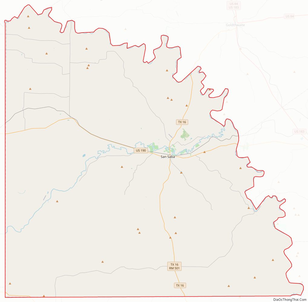
San Saba County Road Map
Geography
According to the U.S. Census Bureau, the county has a total area of 1,138 square miles (2,950 km), of which 1,135 square miles (2,940 km) are land and 3.1 square miles (8.0 km) (0.3%) are covered by water.
Major highways
- U.S. Highway 190
- State Highway 16
- Farm to Market Road 45
Adjacent counties
- Mills County (north)
- Lampasas County (east)
- Burnet County (southeast)
- Llano County (south)
- Mason County (southwest)
- McCulloch County (west)
- Brown County (northwest)
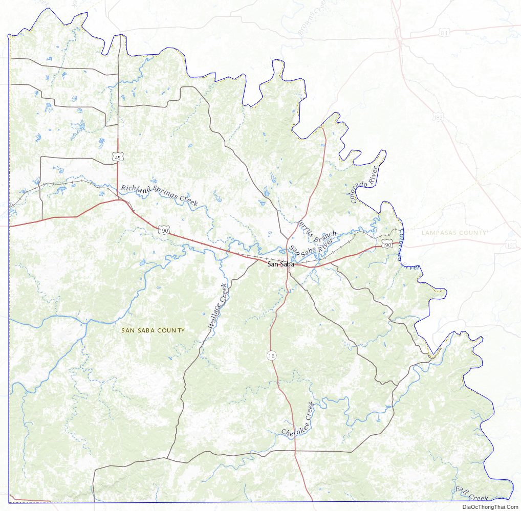
San Saba County Topographic Map
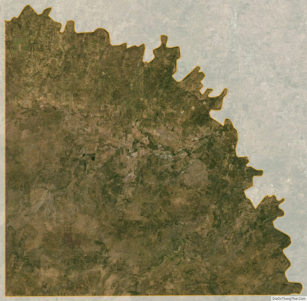
San Saba County Satellite Map
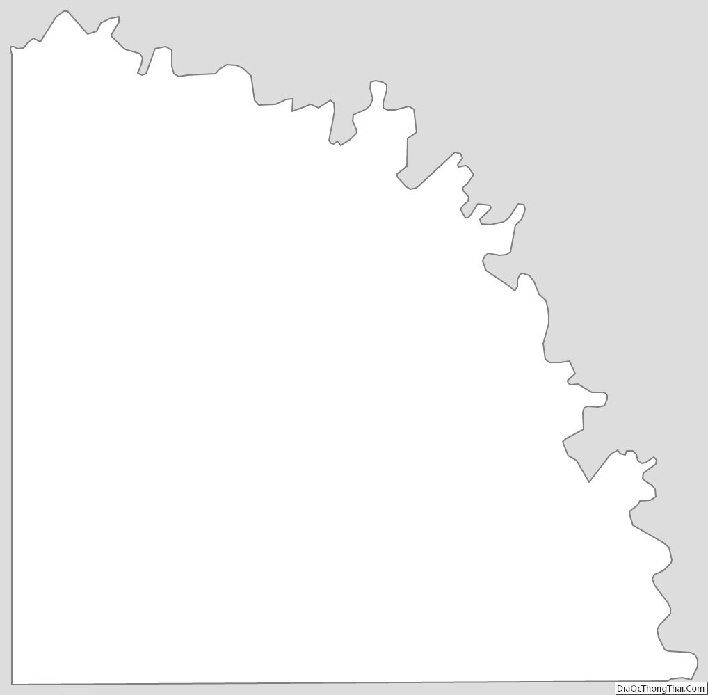
San Saba County Outline Map