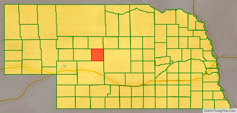
Logan County is a county in the U.S. state of Nebraska. As of the 2020 census, the population was 716. Its county seat is Stapleton.
Logan County is part of the North Platte, NE Micropolitan Statistical Area.
In the Nebraska license plate system, Logan County is represented by the prefix 87 (it had the eighty-seventh-largest number of vehicles registered in the county when the license plate system was established in 1922).
| Name: | Logan County |
|---|---|
| FIPS code: | 31-113 |
| State: | Nebraska |
| Founded: | 1885 |
| Named for: | John A. Logan |
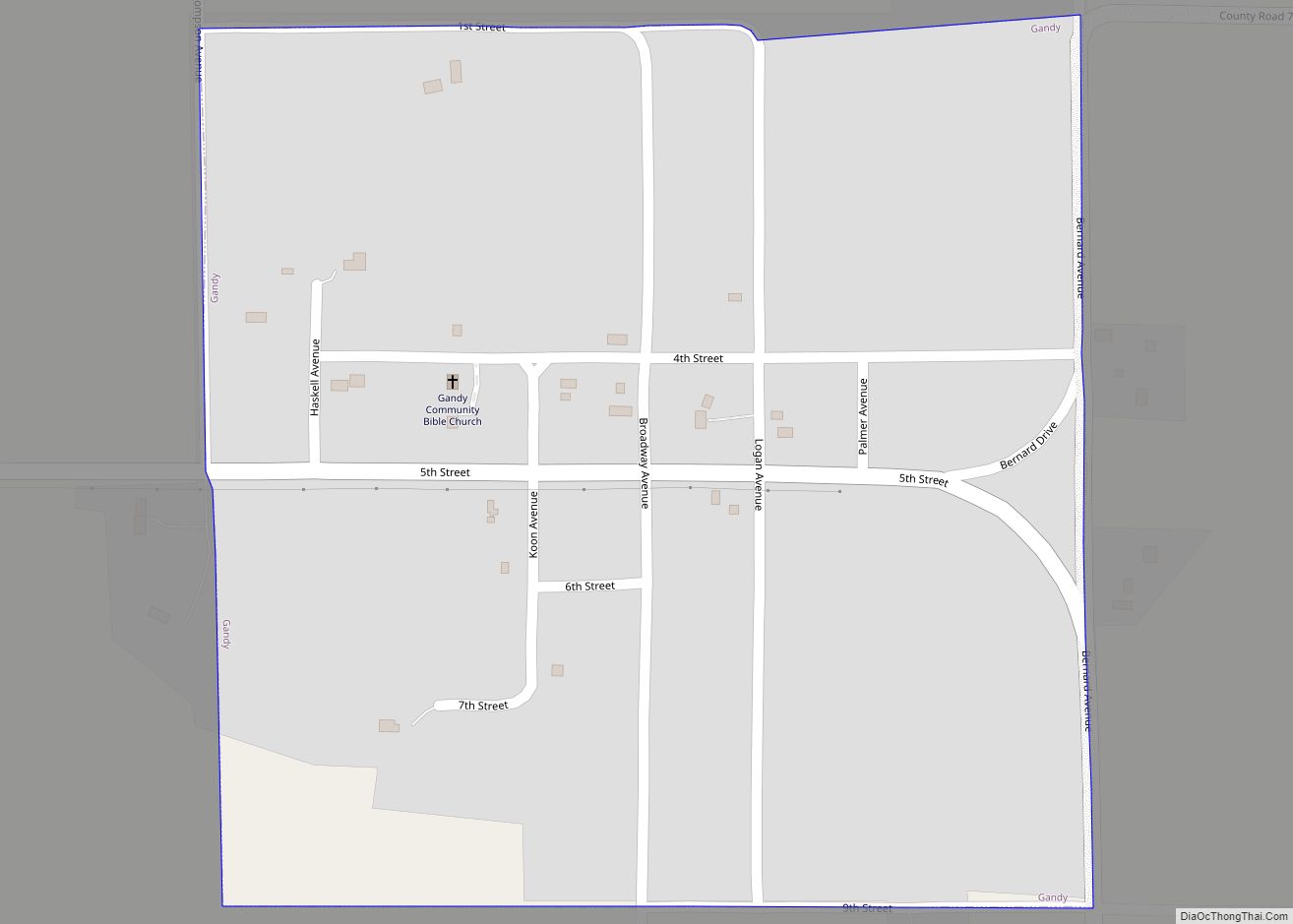
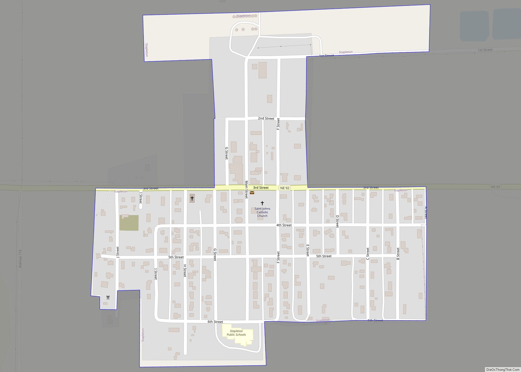
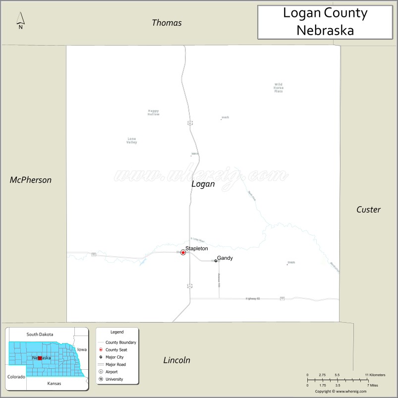
| Seat: | Stapleton |
| Total Area: | 571 sq mi (1,480 km²) |
| Land Area: | 571 sq mi (1,480 km²) |
| Total Population: | 716 |
| Population Density: | 1.35/sq mi (0.52/km²) |
| Time zone: | UTC−6 (Central) |
| Summer Time Zone (DST): | UTC−5 (CDT) |
| Website: | logancounty.ne.gov |
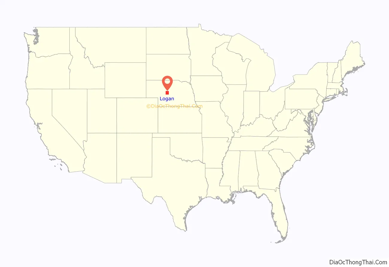
Logan County location map. Where is Logan County?
History
Logan County was formed in 1885. It was named for Civil War General John A. Logan.
The first railroad was built through Logan County in 1911.
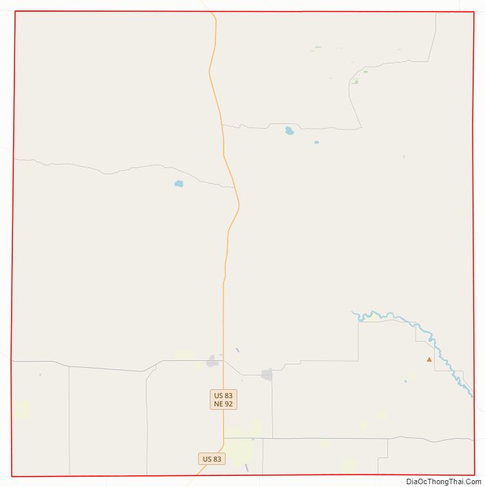
Logan County Road Map
Geography
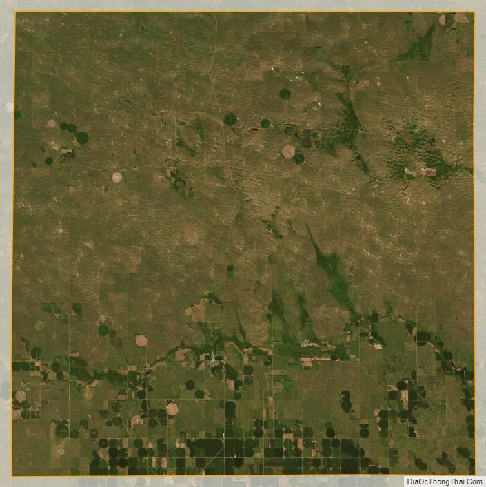
The terrain of Logan County consists of low corrugated flatland, sparsely used for agricultural purposes at present. The ground slopes to the east-northeast, with precipitation runoff making its way to the Dismal River north of Logan County. The county has a total area of 571 square miles (1,480 km), of which 571 square miles (1,480 km) is land and 0.5 square miles (1.3 km) (0.08%) is water.
Major highways
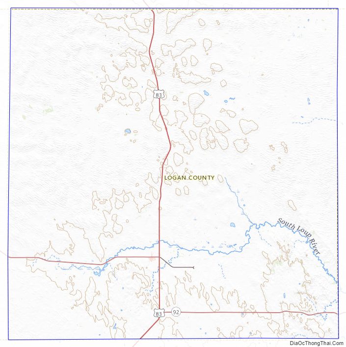
- U.S. Highway 83
- Nebraska Highway 92
Adjacent counties
- Thomas County – north
- Blaine County – northeast
- Custer County – east
- Lincoln County – south
- McPherson County – west
Logan County Topographic Map
Logan County Satellite Map
Logan County Outline Map