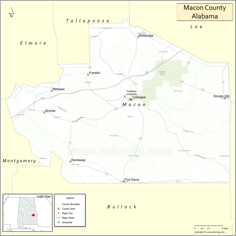
Macon County is a county located in the east central part of the U.S. state of Alabama. As of the 2020 census, the population was 19,532. Its county seat is Tuskegee. Its name is in honor of Nathaniel Macon, a member of the United States Senate from North Carolina.
Developed for cotton plantation agriculture in the nineteenth century, the county is considered within the Black Belt of the South. It has had a majority-black population since before the American Civil War.
| Name: | Macon County |
|---|---|
| FIPS code: | 01-087 |
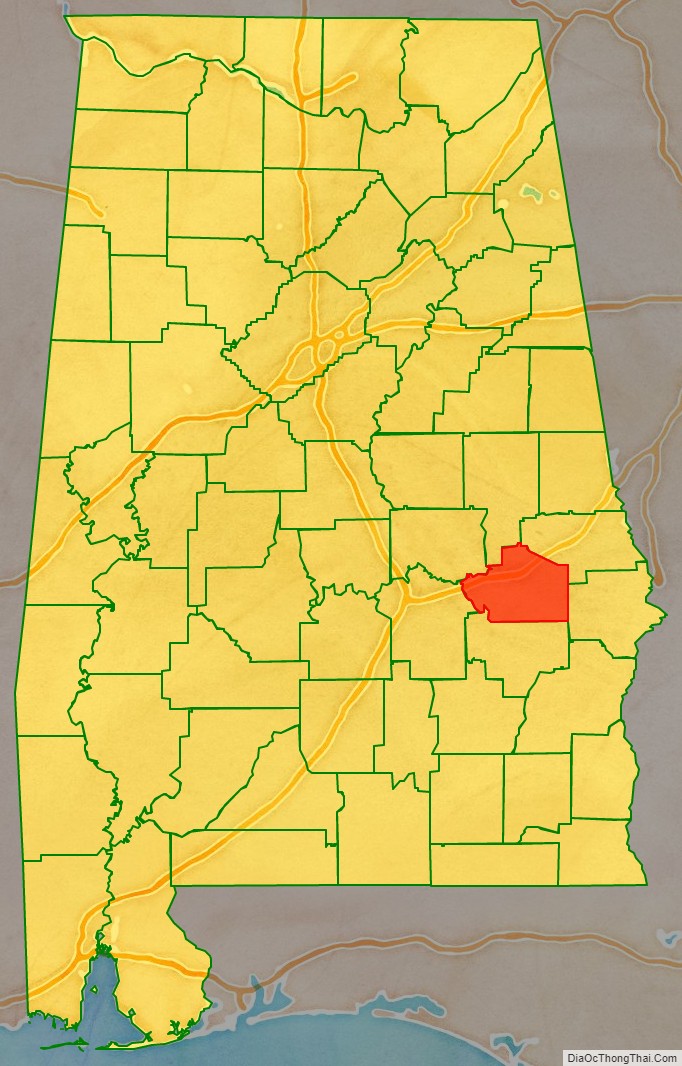
| State: | Alabama |
| Founded: | December 18, 1832 |
| Named for: | Nathaniel Macon |
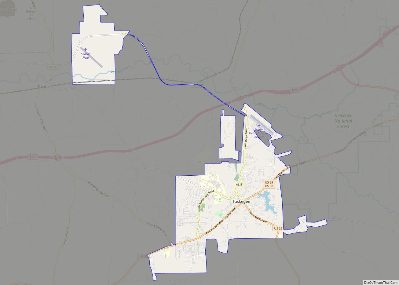
| Seat: | Tuskegee |
| Largest city: | Tuskegee |
| Total Area: | 613 sq mi (1,590 km²) |
| Land Area: | 609 sq mi (1,580 km²) |
| Total Population: | 19,532 |
| Population Density: | 32/sq mi (12/km²) |
| Time zone: | UTC−6 (Central) |
| Summer Time Zone (DST): | UTC−5 (CDT) |
| Website: | www.maconalabama.com |
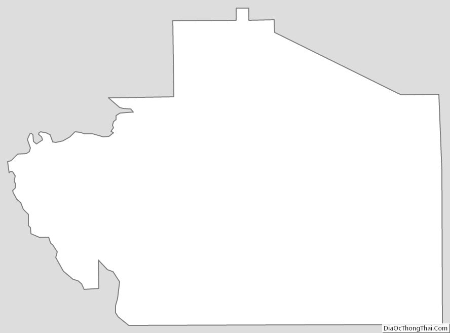
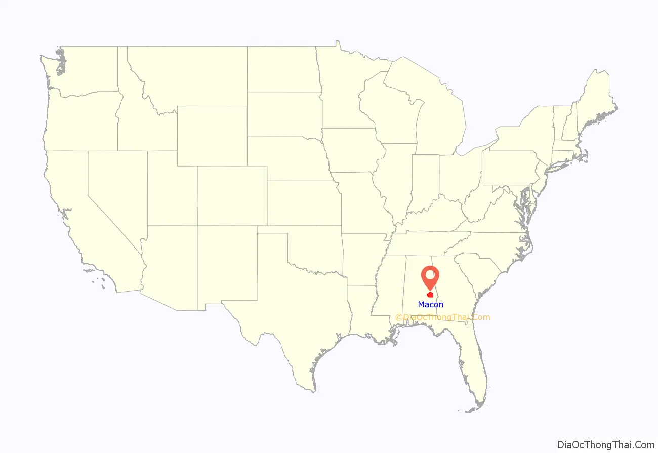
Macon County location map. Where is Macon County?
History
For thousands of years, this area was inhabited by varying cultures of indigenous peoples. The historic tribes encountered by European explorers were the Creek people, descendants of the Mississippian culture.
Macon County was established by European Americans on December 18, 1832, from land ceded by the Creek, following the US Congress’ passage of the Indian Removal Act of 1830. The Creek were removed to Indian Territory west of the Mississippi River. The new settlers brought slaves with them from eastern areas of the South or purchased them at the slave market in Montgomery, New Orleans or Mobile. They developed the county for large cotton plantations.
In the first half of the twentieth century, thousands of African-Americans migrated out of the county to industrial cities in the North and Midwest for job opportunities, and the chance to escape legal segregation. Those who remained have struggled for employment in the mostly rural county, and population has declined by about one-third since 1950.
Before 1983, Macon County was primarily known as the home of historic Tuskegee Institute, now Tuskegee University, and its noted founder and first president, Dr. Booker T. Washington.
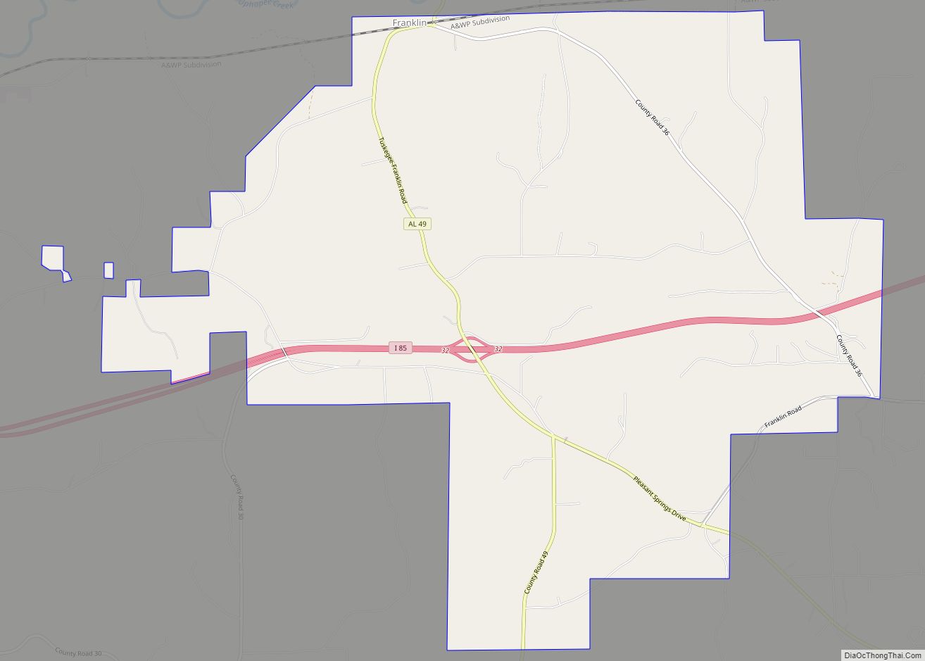
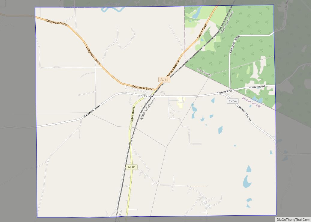
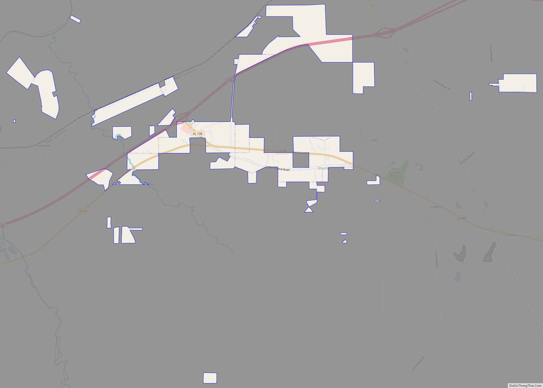
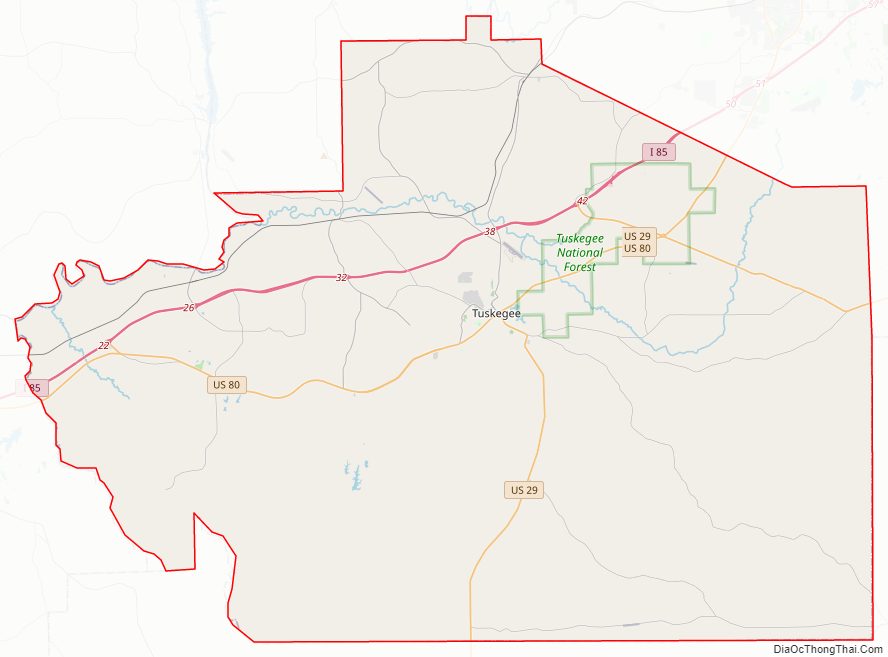
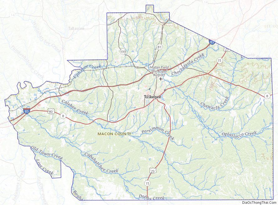
Macon County Road Map
Geography
According to the United States Census Bureau, the county has a total area of 613 square miles (1,590 km), of which 609 square miles (1,580 km) is land and 4.3 square miles (11 km) (0.7%) is water.
Major highways
- Interstate 85
- U.S. Highway 29
- U.S. Highway 80
- State Route 14
- State Route 49
- State Route 81
- State Route 138
- State Route 186
- State Route 199
- State Route 229
Adjacent counties
- Tallapoosa County (north)
- Lee County (northeast)
- Russell County (southeast)
- Bullock County (south)
- Montgomery County (southwest)
- Elmore County (northwest)
National protected areas
- Tuskegee Airmen National Historic Site
- Tuskegee Institute National Historic Site
- The George Washington Carver Museum
- Tuskegee National Forest
Railroads
- CSX A&WP Subdivision
- Former Seaboard Line (abandoned)
Macon County Topographic Map
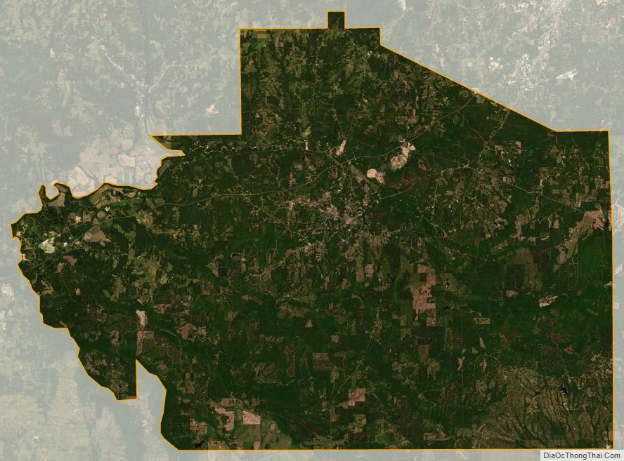
Macon County Satellite Map
Macon County Outline Map