Montgomery County is located in the State of Alabama. As of the 2020 census, its population was 228,954, making it the fifth-most populous county in Alabama. Its county seat is Montgomery, the state capital. Montgomery County is included in the Montgomery, AL Metropolitan Statistical Area.
| Name: | Montgomery County |
|---|---|
| FIPS code: | 01-101 |
| State: | Alabama |
| Founded: | December 6, 1816 |
| Named for: | Lemuel P. Montgomery |
| Seat: | Montgomery |
| Largest city: | Montgomery |
| Total Area: | 800 sq mi (2,000 km²) |
| Land Area: | 784 sq mi (2,030 km²) |
| Total Population: | 228,954 |
| Population Density: | 290/sq mi (110/km²) |
| Time zone: | UTC−6 (Central) |
| Summer Time Zone (DST): | UTC−5 (CDT) |
| Website: | www.mc-ala.org |
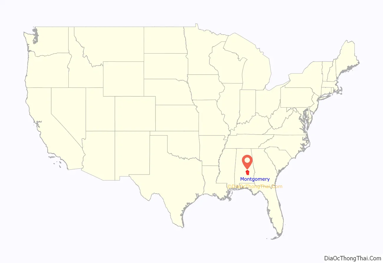
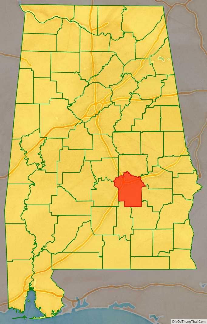
Montgomery County location map. Where is Montgomery County?
History
Montgomery County was established by dividing Monroe County on December 6, 1816, by the Mississippi Territorial Legislature. It is named for Lemuel P. Montgomery, a young U.S. Army officer killed at the Battle of Horseshoe Bend, the final battle of the Creek Indian war, which was waged concurrently with the War of 1812.
The city of Montgomery, which is the county seat, is named for Richard Montgomery, an American Revolutionary War general killed in 1775 while attempting to capture Quebec City, Canada.
Over much of the 19th century great wealth was derived from the cotton crop, with the Civil War producing a temporary setback. More lasting trouble came in 1914 with the arrival of the boll weevil, which became very destructive to the cotton harvest from 1915 on. By the 1940s county farms earned more from cattle than cotton.
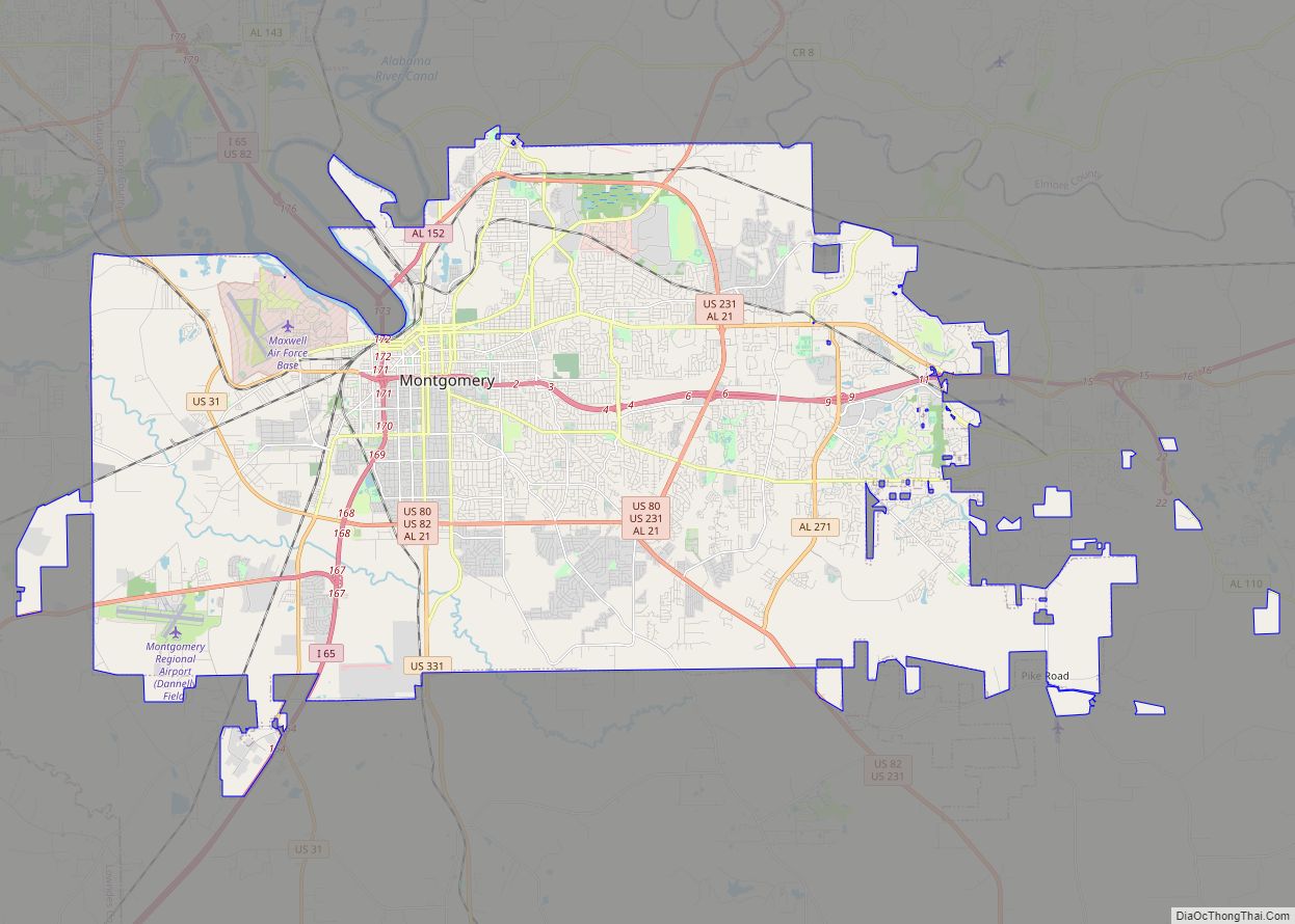
Montgomery County Road Map
Geography
According to the United States Census Bureau, the county has a total area of 800 square miles (2,100 km), of which 784 square miles (2,030 km) is land and 16 square miles (41 km) (2.0%) is water.
Major highways
- Interstate 65
- Interstate 85
- Interstate 685 (future)
- U.S. Highway 31
- U.S. Highway 80
- U.S. Highway 82
- U.S. Highway 231
- U.S. Highway 331
- State Route 21
- State Route 94
- State Route 108
- State Route 110
- State Route 126
- State Route 152
- State Route 271
- State Route 293
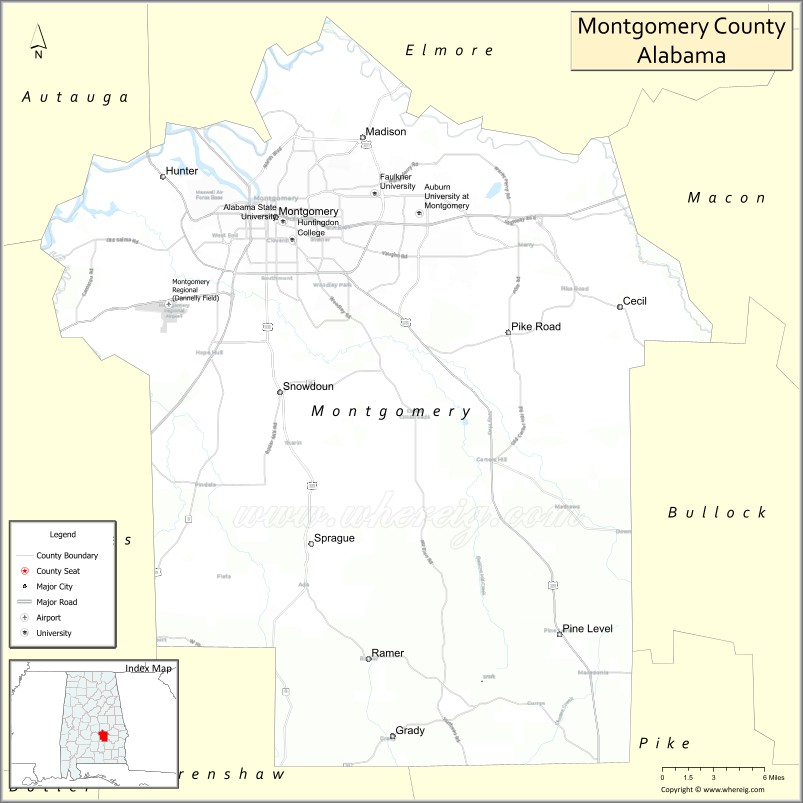
Adjacent counties
- Elmore County (north)
- Macon County (northeast)
- Bullock County (east)
- Pike County (southeast)
- Crenshaw County (southwest)
- Lowndes County (west)
- Autauga County (northwest)
National protected area
- Selma to Montgomery National Historic Trail (part)
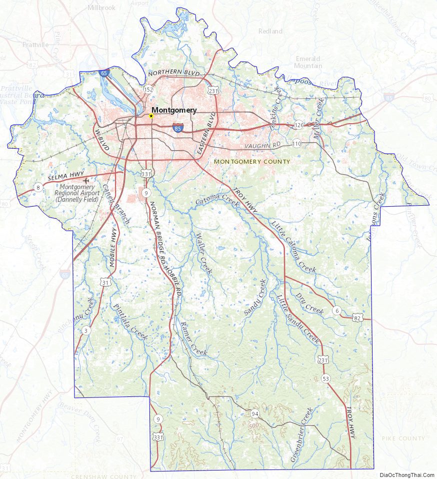
Montgomery County Topographic Map
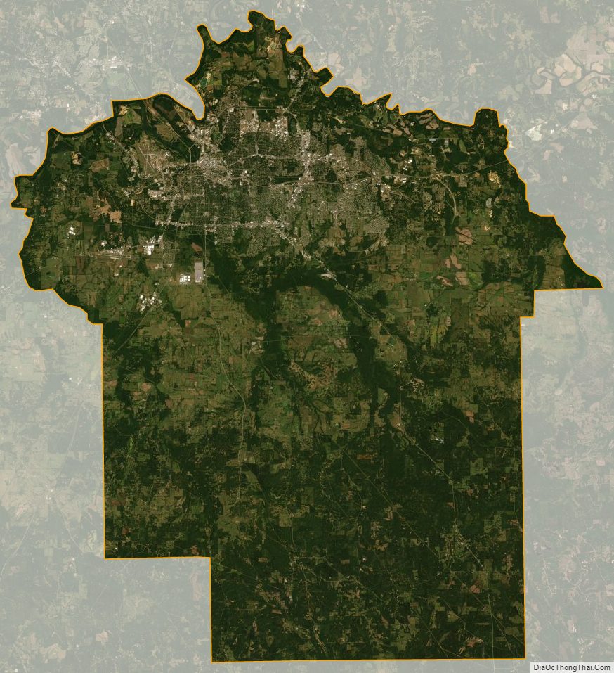
Montgomery County Satellite Map
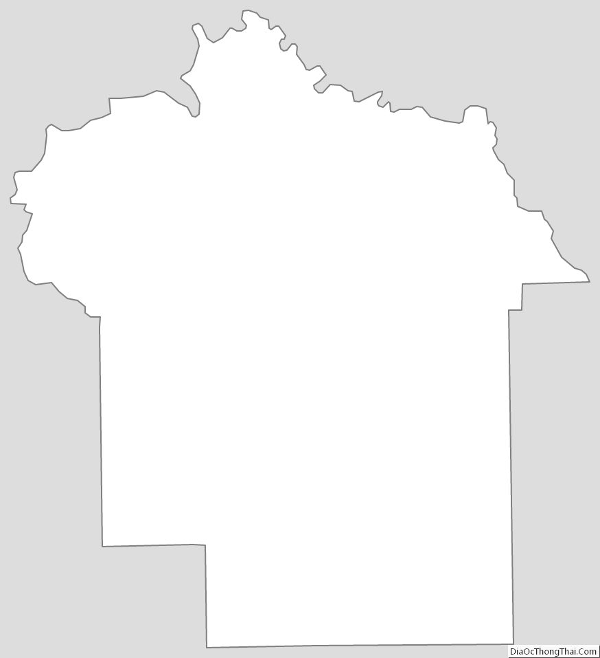
Montgomery County Outline Map