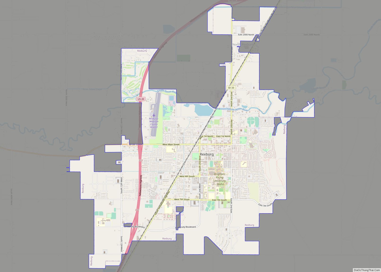
Rexburg is a city in Madison County, Idaho, United States. The population was 39,409 at the 2020 census. The city is the county seat of Madison County and its largest city. Rexburg is the principal city of the Rexburg, ID Micropolitan Statistical Area, which includes Fremont and Madison Counties. The city is home to Brigham Young University-Idaho (BYU-Idaho), a private institution operated by the Church of Jesus Christ of Latter-day Saints (LDS Church).
| Name: | Rexburg city |
|---|---|
| LSAD Code: | 25 |
| LSAD Description: | city (suffix) |
| State: | Idaho |
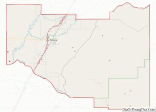
| County: | Madison County |
| Elevation: | 4,865 ft (1,483 m) |
| Total Area: | 10.10 sq mi (26.15 km²) |
| Land Area: | 10.01 sq mi (25.93 km²) |
| Water Area: | 0.09 sq mi (0.23 km²) |
| Total Population: | 39,409 |
| Population Density: | 2,937.06/sq mi (1,134.01/km²) |
| ZIP code: | 83440, 83441, 83460 |
| Area code: | 208, 986 |
| FIPS code: | 1667420 |
| GNISfeature ID: | 0374648 |
| Website: | www.rexburg.org |
Online Interactive Map
Click on ![]() to view map in "full screen" mode.
to view map in "full screen" mode.
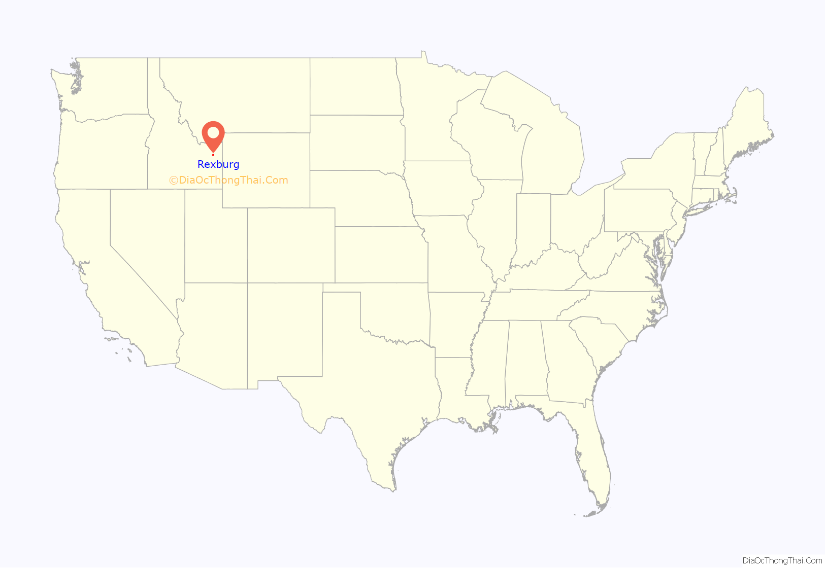
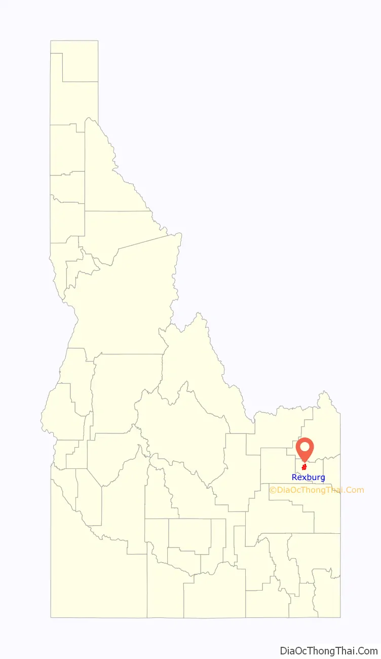
Rexburg location map. Where is Rexburg city?
History
The city takes its name from founder Thomas Edwin Ricks. The city was incorporated in 1883.
The Navy Electronics Laboratory oceanographic research ship USS Rexburg was named for the city.
In June 1976, Rexburg was severely damaged by the Teton Dam Flood. The Teton River flowed through northern Rexburg, and left most of the city underwater for several days after the Teton Dam ruptured. A museum dedicated to the Teton Dam Flood and the history of Rexburg and the area, located in the basement of the Rexburg Tabernacle, has been a major city landmark for decades.
The city gained attention after the disappearance and deaths of Tylee Ryan and J.J. Vallow, two siblings who went missing in September 2019 and were found dead in June 2020.
Rexburg Road Map

Rexburg city Satellite Map

Geography
Rexburg is located at 43°49′N 111°47′W / 43.817°N 111.783°W / 43.817; -111.783, at an elevation of 4,865 feet (1,483 m) above sea level.
According to the United States Census Bureau, the city has a total area of 9.84 square miles (25.49 km), of which 9.76 square miles (25.28 km) is land and 0.08 square miles (0.21 km) is water.
Much of the city, including BYU-Idaho and the Rexburg Idaho Temple, rests on top of a shield volcano just north of Rigby. Eruptions are not expected in the near future so far south; Yellowstone National Park and Island Park are thought to be the most likely settings for future volcanic activity in the area. Many different types of volcanoes exist near Rexburg, including cinder cones, spatter cones, other shield volcanoes, and volcanic fissures. There are lava fields to the west and south of Rexburg, the results of open fissure eruptions from about two thousand years ago. The nearby Craters of the Moon National Monument presents the most obvious features of this recent activity. Sediment deposits enriched by volcanism make the surrounding area famous for its production of large starch-rich potatoes.
Rexburg is close to the St. Anthony Sand Dunes, the West Entrance of Yellowstone National Park and the Teton Range.
See also
Map of Idaho State and its subdivision:- Ada
- Adams
- Bannock
- Bear Lake
- Benewah
- Bingham
- Blaine
- Boise
- Bonner
- Bonneville
- Boundary
- Butte
- Camas
- Canyon
- Caribou
- Cassia
- Clark
- Clearwater
- Custer
- Elmore
- Franklin
- Fremont
- Gem
- Gooding
- Idaho
- Jefferson
- Jerome
- Kootenai
- Latah
- Lemhi
- Lewis
- Lincoln
- Madison
- Minidoka
- Nez Perce
- Oneida
- Owyhee
- Payette
- Power
- Shoshone
- Teton
- Twin Falls
- Valley
- Washington
- Alabama
- Alaska
- Arizona
- Arkansas
- California
- Colorado
- Connecticut
- Delaware
- District of Columbia
- Florida
- Georgia
- Hawaii
- Idaho
- Illinois
- Indiana
- Iowa
- Kansas
- Kentucky
- Louisiana
- Maine
- Maryland
- Massachusetts
- Michigan
- Minnesota
- Mississippi
- Missouri
- Montana
- Nebraska
- Nevada
- New Hampshire
- New Jersey
- New Mexico
- New York
- North Carolina
- North Dakota
- Ohio
- Oklahoma
- Oregon
- Pennsylvania
- Rhode Island
- South Carolina
- South Dakota
- Tennessee
- Texas
- Utah
- Vermont
- Virginia
- Washington
- West Virginia
- Wisconsin
- Wyoming