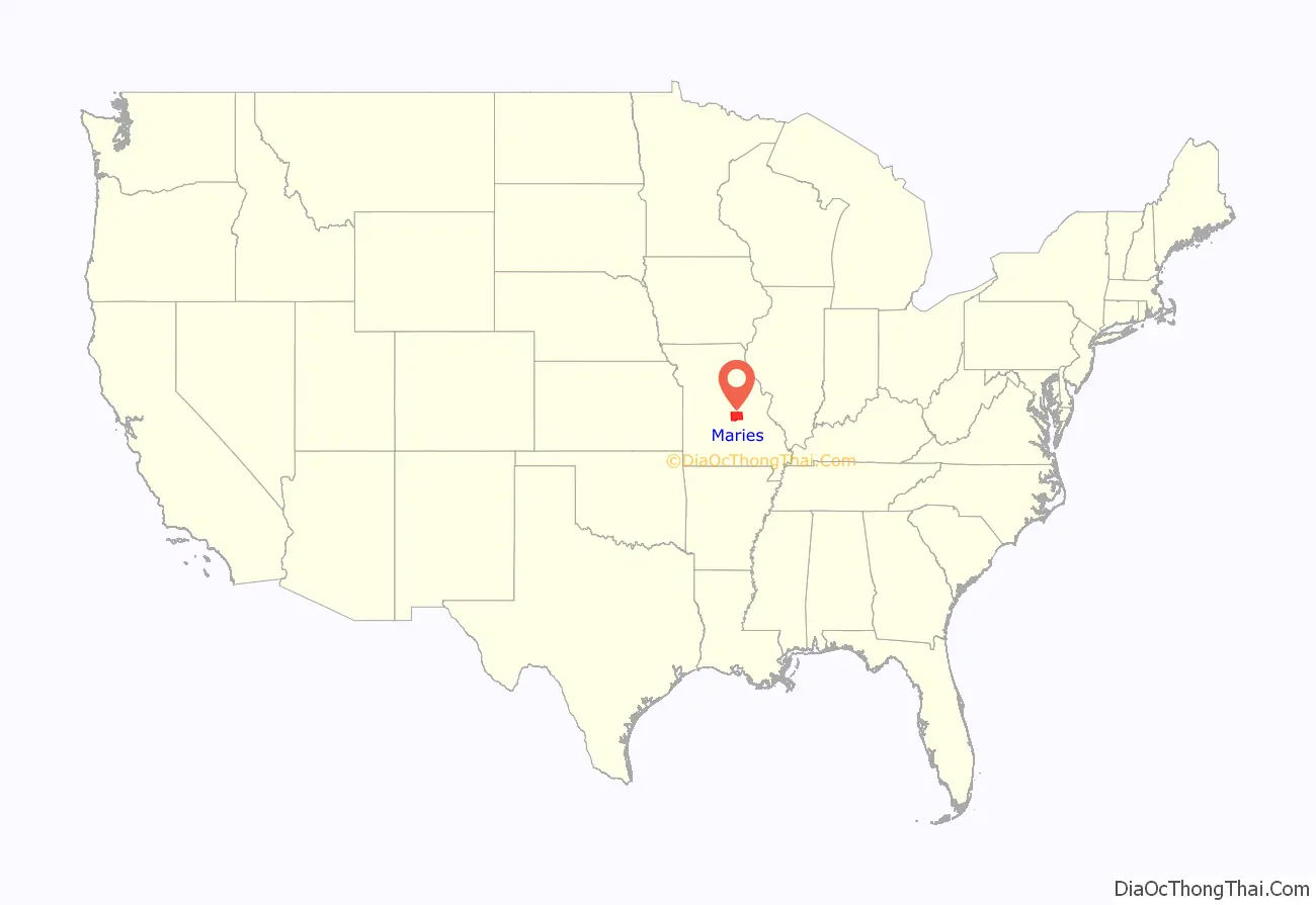
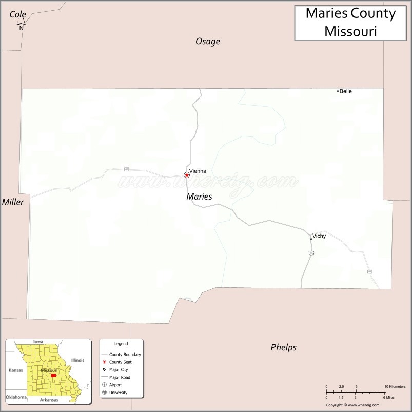
Maries County is a county located in the U.S. state of Missouri. As of the 2020 census, its population was 8,432. Its county seat is Vienna. The county was organized March 2, 1855 and named for the Maries River and Little Maries River. The word “Maries” is derived from the French word marais, which means “marsh, lake, or pond”.
| Name: | Maries County |
|---|---|
| FIPS code: | 29-125 |
| State: | Missouri |
| Founded: | March 2, 1855 |
| Named for: | The Maries River and Little Maries River |
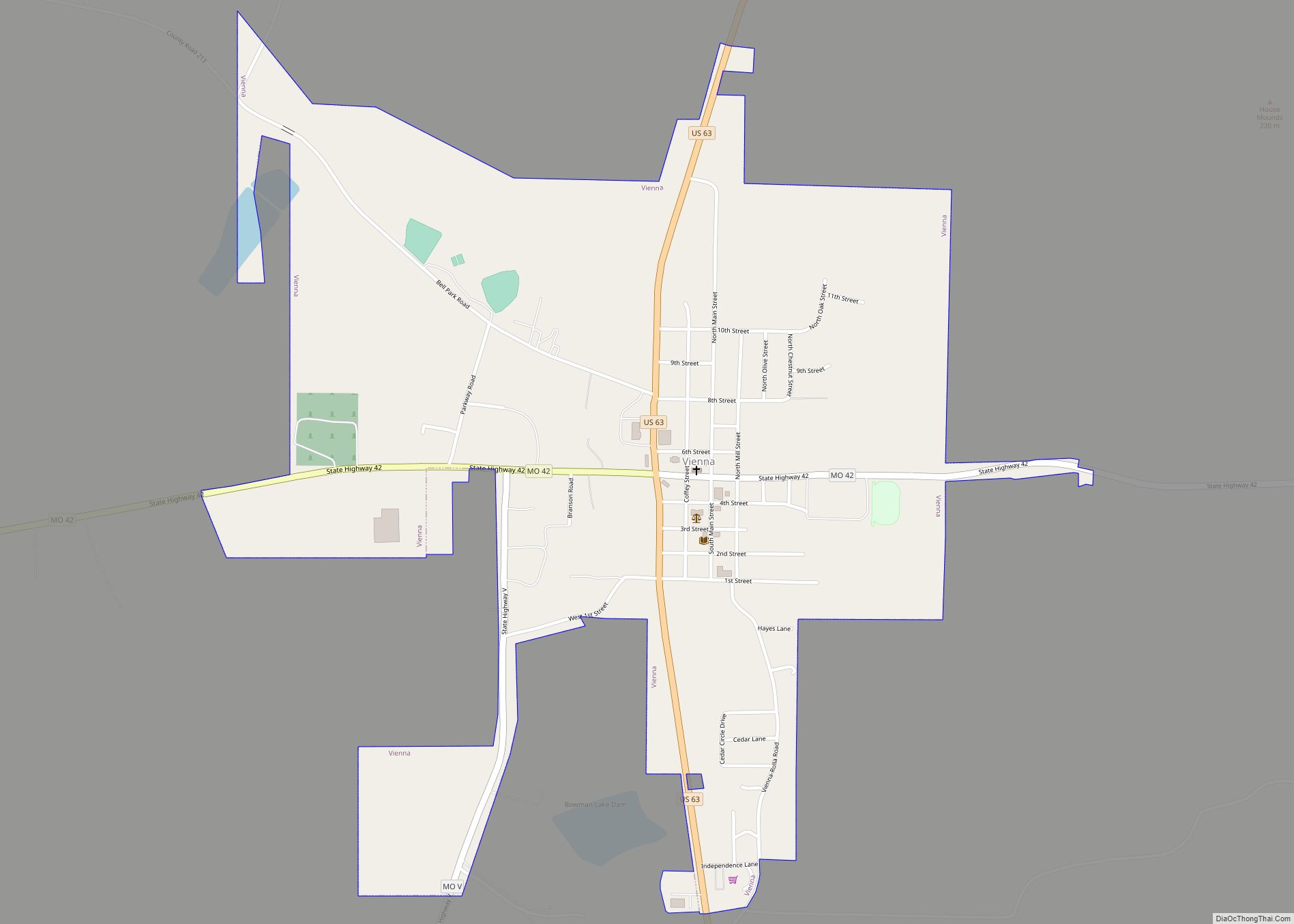
| Seat: | Vienna |
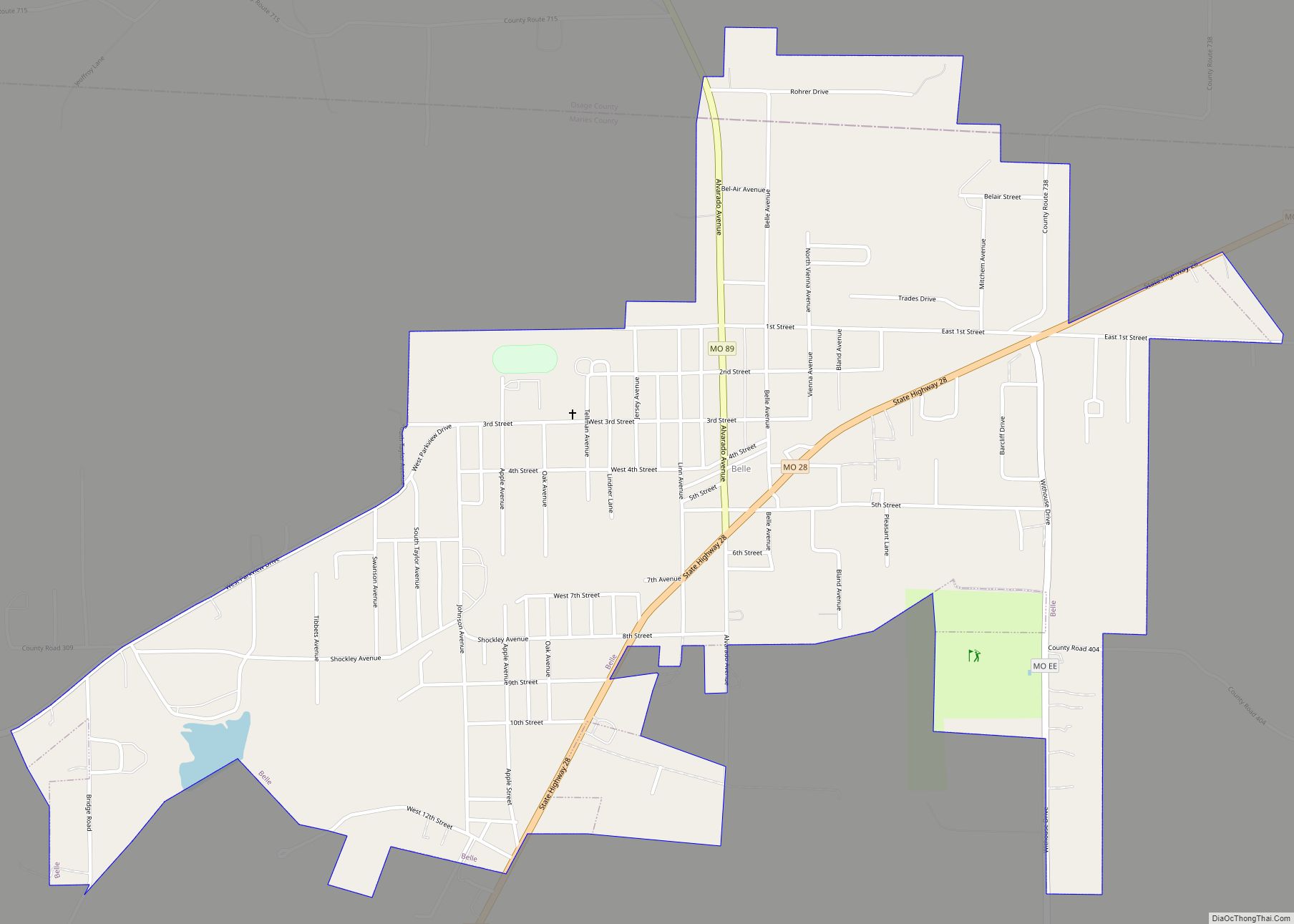
| Largest city: | Belle |
| Total Area: | 530 sq mi (1,400 km²) |
| Land Area: | 527 sq mi (1,360 km²) |
| Total Population: | 8,432 |
| Population Density: | 16/sq mi (6.1/km²) |
| Time zone: | UTC−6 (Central) |
| Summer Time Zone (DST): | UTC−5 (CDT) |
| Website: | www.mariescountymo.gov |
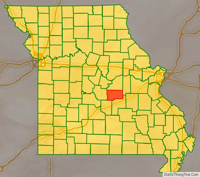
Maries County location map. Where is Maries County?
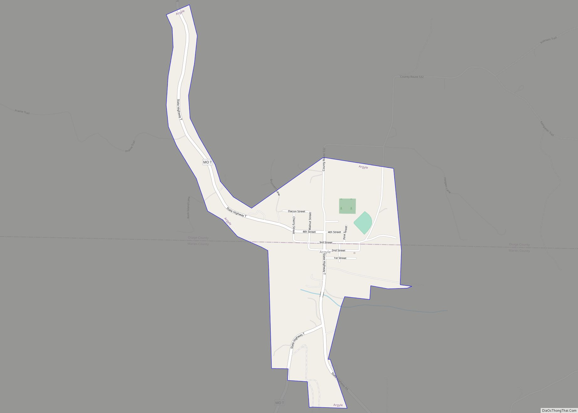
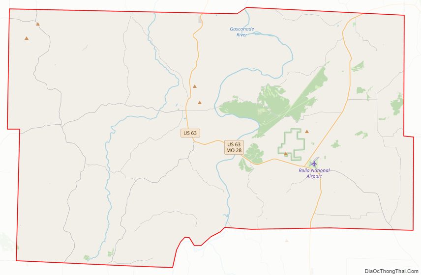
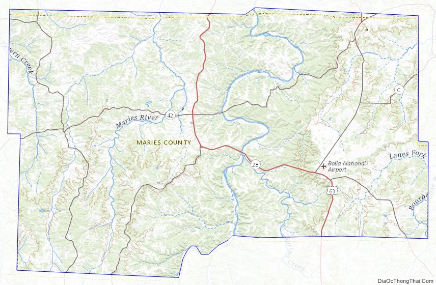
Maries County Road Map
Geography
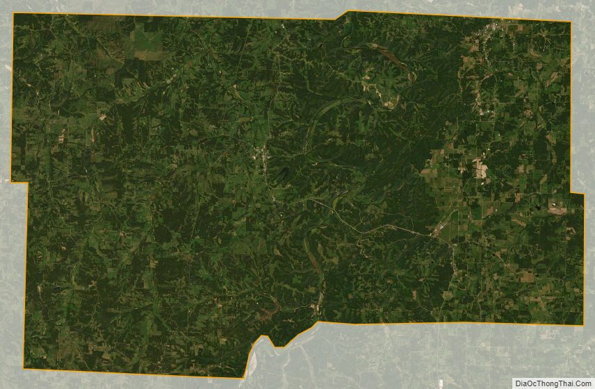
According to the U.S. Census Bureau, the county has a total area of 530 square miles (1,400 km), of which 527 square miles (1,360 km) is land and 2.9 square miles (7.5 km) (0.6%) is water.
Adjacent counties
- Osage County (north)
- Gasconade County (northeast)
- Phelps County (southeast)
- Pulaski County (southwest)
- Miller County (west)
Major highways
- U.S. Route 63
- Route 28
- Route 42
- Route 52
- Route 68
- Route 133
Maries County Topographic Map
Maries County Satellite Map
Maries County Outline Map