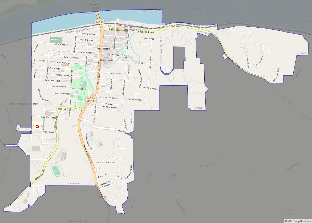
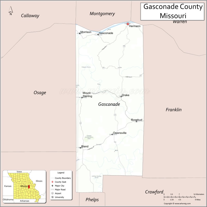
Gasconade County is a county located in the east-central portion of the U.S. state of Missouri. As of the 2020 census, the population was 14,794. The county seat has been Hermann since 1842. The county was named after the Gasconade River.
The county is located on the south side of the Missouri River, which once served as the chief route of transportation in the state. It is located in the area known as the Missouri Rhineland. Because of its distinctive conditions, the Hermann area was designated an American Viticultural Area (AVA) in 1983. The southern part of the county is within the larger Ozark Highlands AVA, established in 1987.
| Name: | Gasconade County |
|---|---|
| FIPS code: | 29-073 |
| State: | Missouri |
| Founded: | November 25, 1820 |
| Named for: | Gasconade River |
| Seat: | Hermann |
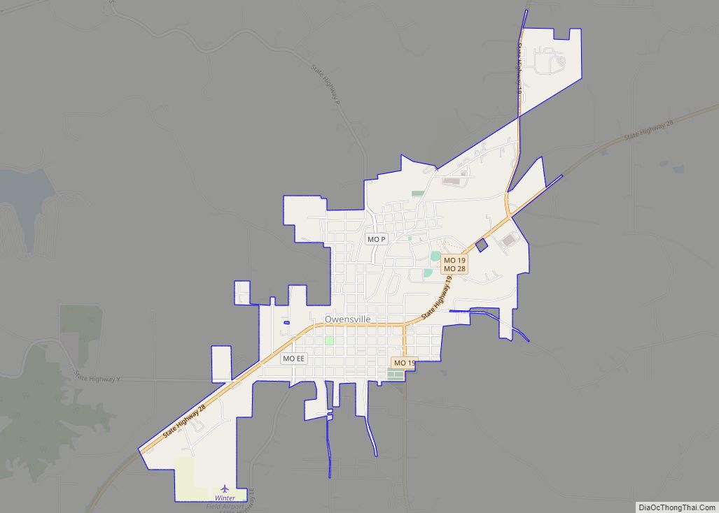
| Largest city: | Owensville |
| Total Area: | 524 sq mi (1,360 km²) |
| Land Area: | 518 sq mi (1,340 km²) |
| Total Population: | 14,794 |
| Population Density: | 28/sq mi (11/km²) |
| Time zone: | UTC−6 (Central) |
| Summer Time Zone (DST): | UTC−5 (CDT) |
| Website: | gasconadecounty.org |
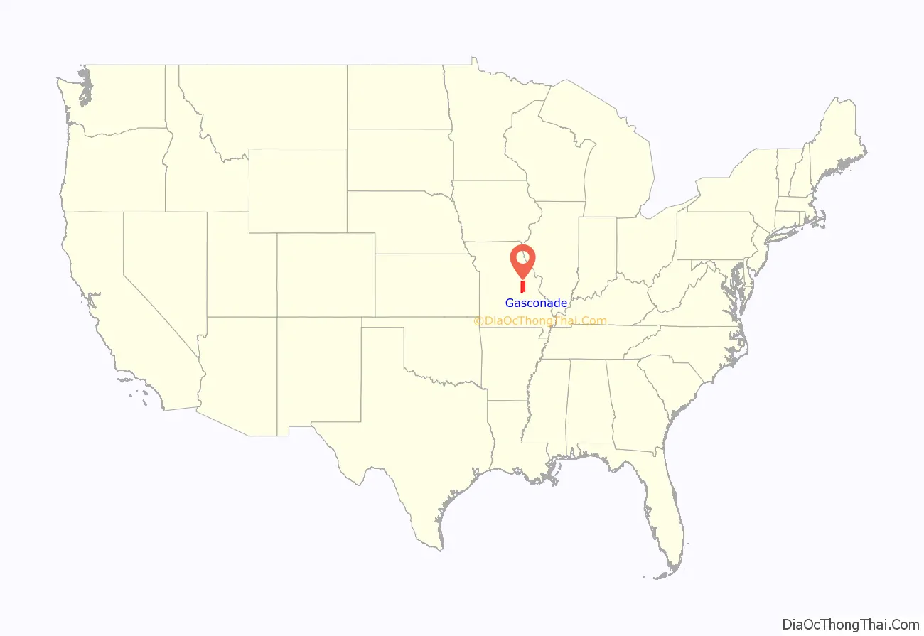
Gasconade County location map. Where is Gasconade County?

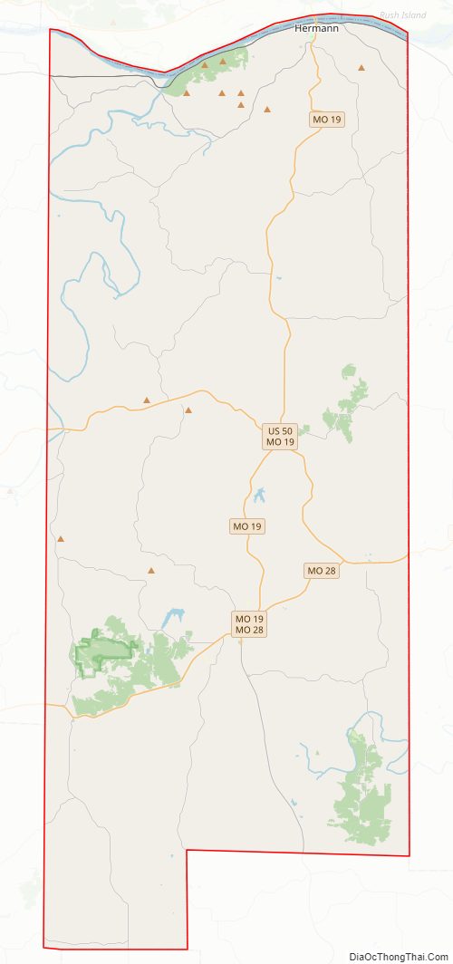
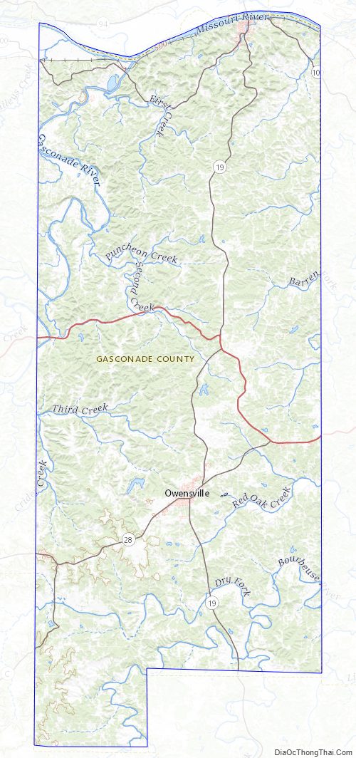
Gasconade County Road Map
Geography
According to the U.S. Census Bureau, the county has a total area of 524 square miles (1,360 km), of which 518 square miles (1,340 km) is land and 6.6 square miles (17 km) (1.3%) is water.
Adjacent counties
- Montgomery County (north)
- Warren County (northeast)
- Franklin County (east)
- Crawford County (southeast)
- Phelps County (south)
- Maries County (southwest)
- Osage County (west)
- Callaway County (northwest)
Major highways
- U.S. Route 50
- Route 19
- Route 28
- Route 100
Gasconade County Topographic Map
Gasconade County Satellite Map
Gasconade County Outline Map