Vienna is a city in and the county seat of Maries County, Missouri, United States. Its population was 581 at the 2020 census.
| Name: | Vienna city |
|---|---|
| LSAD Code: | 25 |
| LSAD Description: | city (suffix) |
| State: | Missouri |
| County: | Maries County |
| Incorporated: | 1856 |
| Elevation: | 843 ft (257 m) |
| Total Area: | 1.07 sq mi (2.77 km²) |
| Land Area: | 1.07 sq mi (2.77 km²) |
| Water Area: | 0.00 sq mi (0.00 km²) |
| Total Population: | 581 |
| Population Density: | 544.01/sq mi (210.11/km²) |
| ZIP code: | 65582 |
| Area code: | 573 |
| FIPS code: | 2976102 |
| GNISfeature ID: | 2397138 |
Online Interactive Map
Click on ![]() to view map in "full screen" mode.
to view map in "full screen" mode.
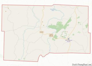
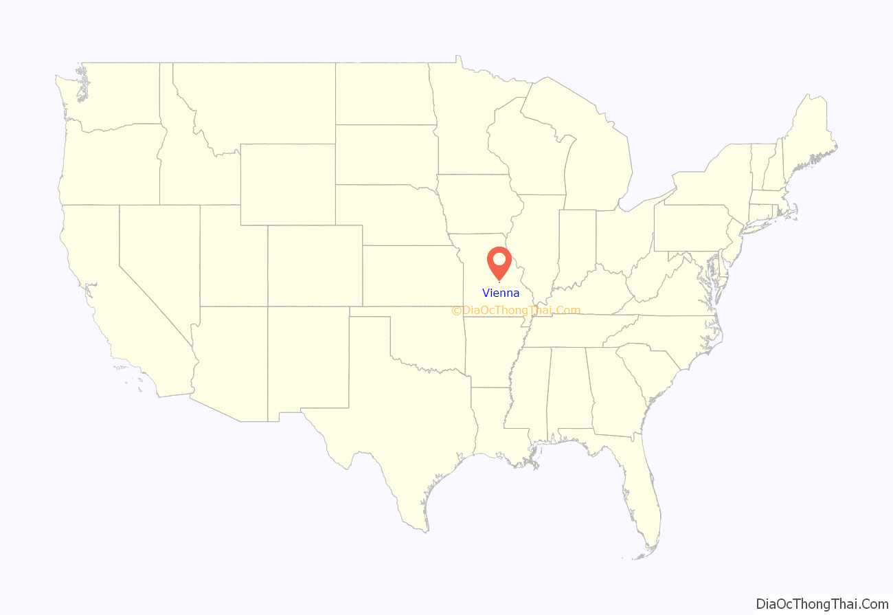
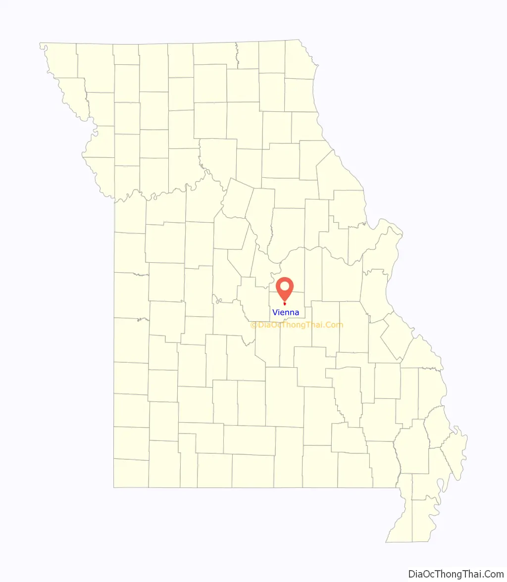
Vienna location map. Where is Vienna city?
History
Vienna became the county seat in 1855. It was named after Vienna, the capital of Austria. According to folk etymology, the town was named after Vie Anna, the deceased daughter of a county judge. A post office called Vienna has been in operation since 1856.
The Maries County Jail and Sheriff’s House was added to the National Register of Historic Places in 2002.
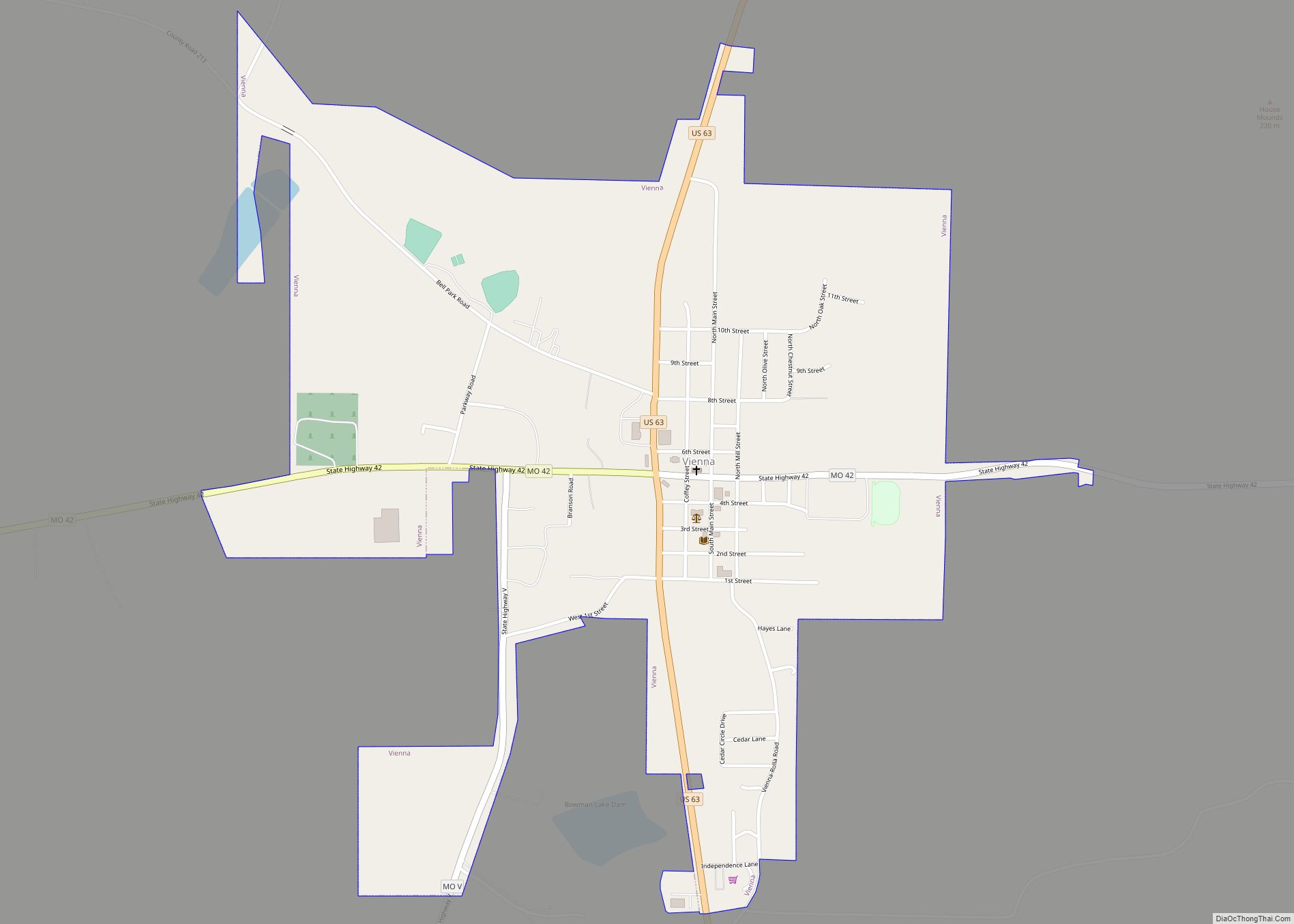
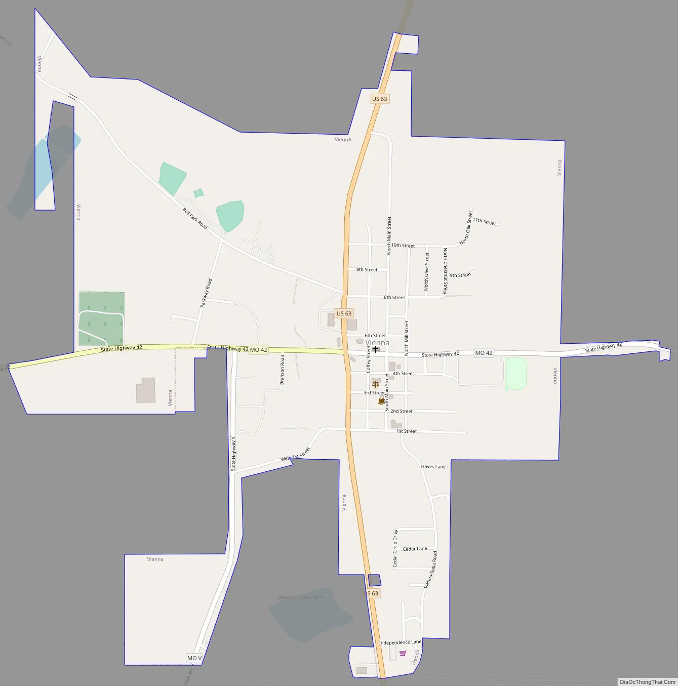
Vienna Road Map
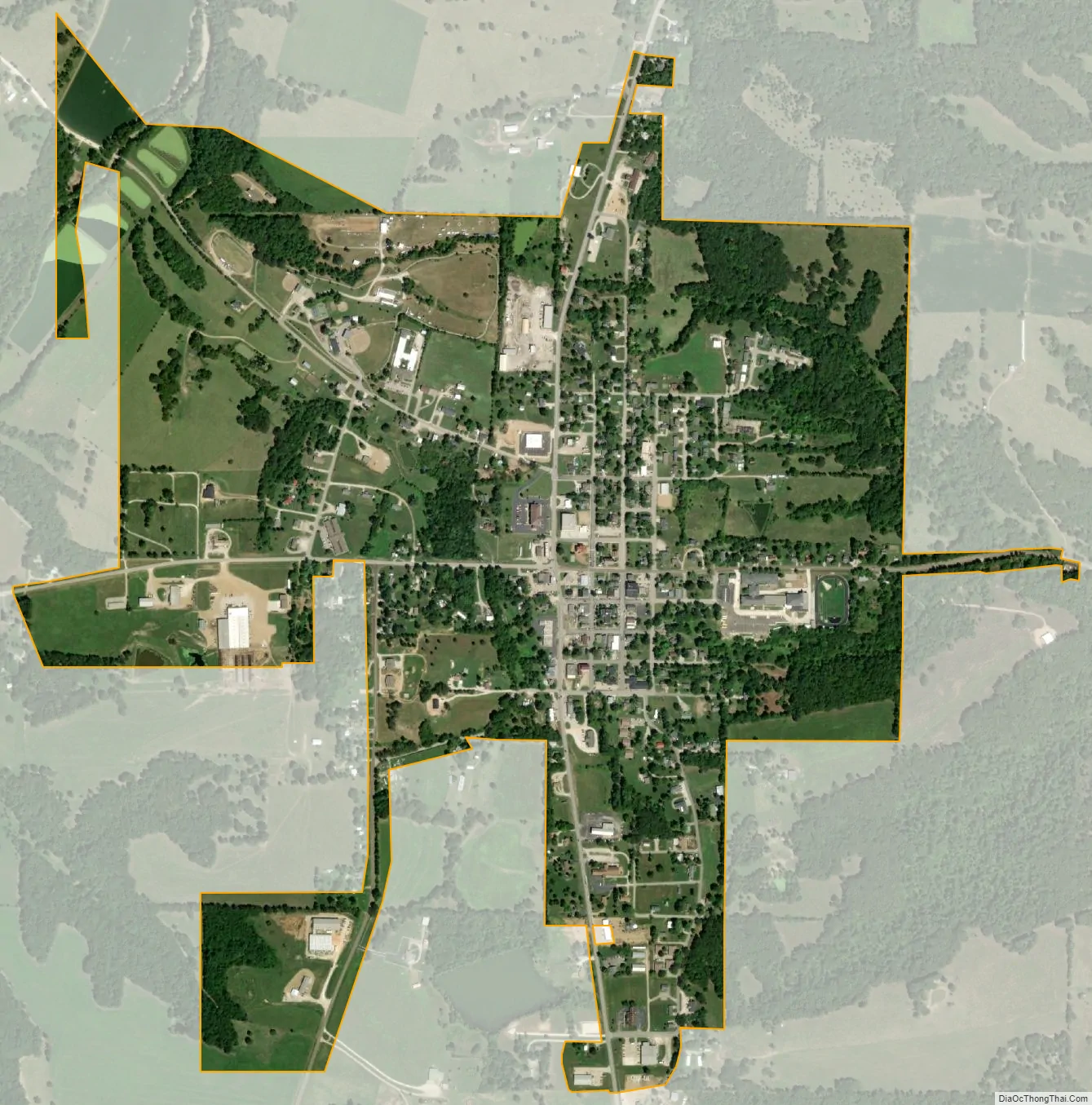
Vienna city Satellite Map
Geography
Vienna is located at the intersection of US Route 63 and Missouri Route 42. The city lies between the Gasconade River, two miles to the east and Maries River about two miles to the west. Rolla is approximately 18 miles to the southeast.
According to the United States Census Bureau, the city has a total area of 1.06 square miles (2.75 km), all land.
See also
Map of Missouri State and its subdivision:- Adair
- Andrew
- Atchison
- Audrain
- Barry
- Barton
- Bates
- Benton
- Bollinger
- Boone
- Buchanan
- Butler
- Caldwell
- Callaway
- Camden
- Cape Girardeau
- Carroll
- Carter
- Cass
- Cedar
- Chariton
- Christian
- Clark
- Clay
- Clinton
- Cole
- Cooper
- Crawford
- Dade
- Dallas
- Daviess
- De Kalb
- Dent
- Douglas
- Dunklin
- Franklin
- Gasconade
- Gentry
- Greene
- Grundy
- Harrison
- Henry
- Hickory
- Holt
- Howard
- Howell
- Iron
- Jackson
- Jasper
- Jefferson
- Johnson
- Knox
- Laclede
- Lafayette
- Lawrence
- Lewis
- Lincoln
- Linn
- Livingston
- Macon
- Madison
- Maries
- Marion
- McDonald
- Mercer
- Miller
- Mississippi
- Moniteau
- Monroe
- Montgomery
- Morgan
- New Madrid
- Newton
- Nodaway
- Oregon
- Osage
- Ozark
- Pemiscot
- Perry
- Pettis
- Phelps
- Pike
- Platte
- Polk
- Pulaski
- Putnam
- Ralls
- Randolph
- Ray
- Reynolds
- Ripley
- Saint Charles
- Saint Clair
- Saint Francois
- Saint Louis
- Sainte Genevieve
- Saline
- Schuyler
- Scotland
- Scott
- Shannon
- Shelby
- Stoddard
- Stone
- Sullivan
- Taney
- Texas
- Vernon
- Warren
- Washington
- Wayne
- Webster
- Worth
- Wright
- Alabama
- Alaska
- Arizona
- Arkansas
- California
- Colorado
- Connecticut
- Delaware
- District of Columbia
- Florida
- Georgia
- Hawaii
- Idaho
- Illinois
- Indiana
- Iowa
- Kansas
- Kentucky
- Louisiana
- Maine
- Maryland
- Massachusetts
- Michigan
- Minnesota
- Mississippi
- Missouri
- Montana
- Nebraska
- Nevada
- New Hampshire
- New Jersey
- New Mexico
- New York
- North Carolina
- North Dakota
- Ohio
- Oklahoma
- Oregon
- Pennsylvania
- Rhode Island
- South Carolina
- South Dakota
- Tennessee
- Texas
- Utah
- Vermont
- Virginia
- Washington
- West Virginia
- Wisconsin
- Wyoming