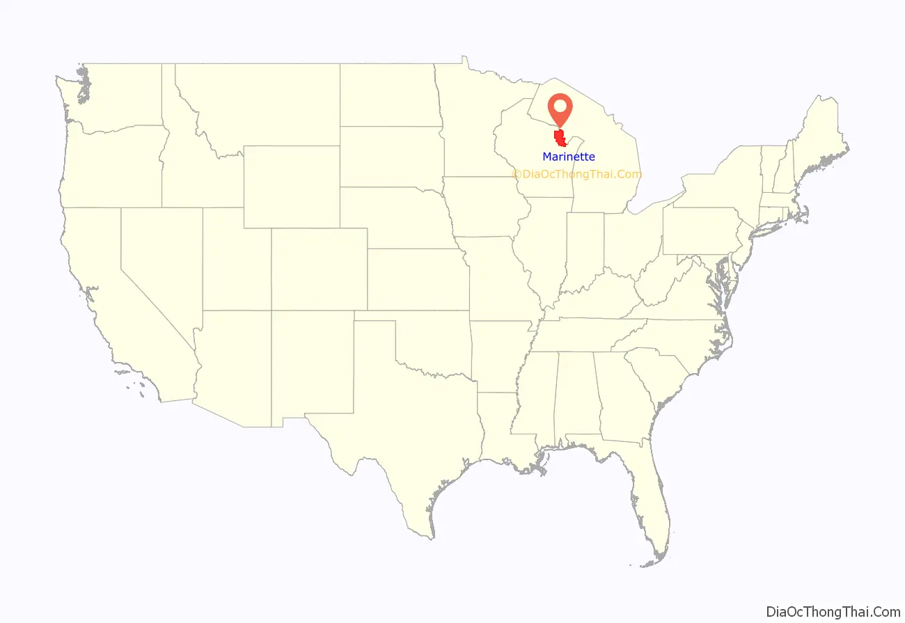
| Name: | Marinette County |
|---|---|
| FIPS code: | 55-075 |
| State: | Wisconsin |
| Founded: | 1879 |
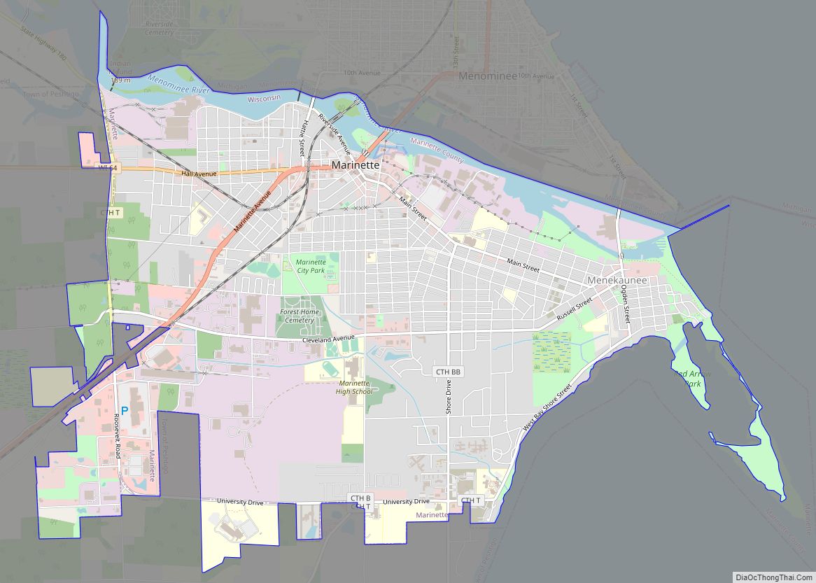
| Seat: | Marinette |
| Largest city: | Marinette |
| Total Area: | 1,550 sq mi (4,000 km²) |
| Land Area: | 1,399 sq mi (3,620 km²) |
| Total Population: | 41,872 |
| Population Density: | 29.9/sq mi (11.5/km²) |
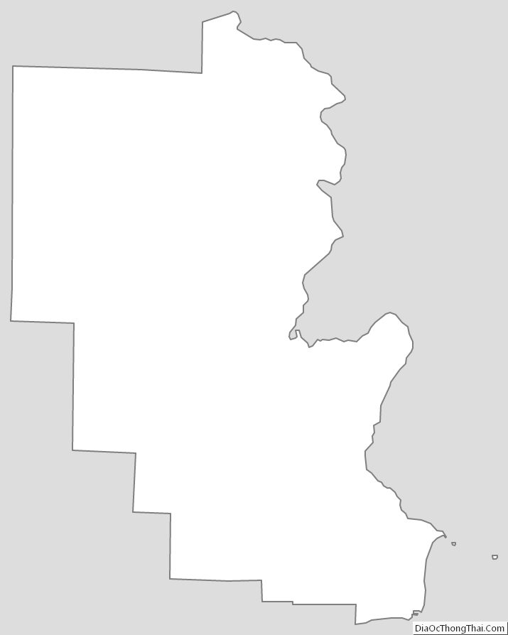
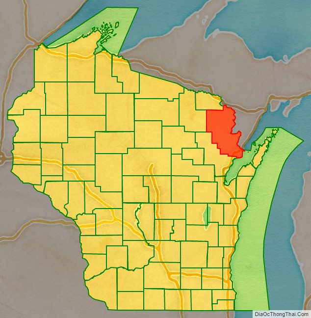
Marinette County location map. Where is Marinette County?
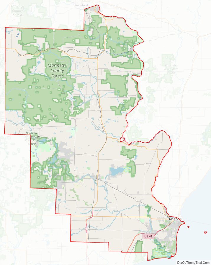
Marinette County Road Map
Geography
According to the U.S. Census Bureau, the county has a total area of 1,550 square miles (4,000 km), of which 1,399 square miles (3,620 km) is land and 151 square miles (390 km) (9.7%) is water. It is the third-largest county in Wisconsin by land area and fifth-largest by total area. Part of Marinette County borders Lake Michigan, and this area is home to endemic plants.
Adjacent counties
- Dickinson County, Michigan – north
- Menominee County, Michigan – northeast
- Door County – east and southeast, border is in Green Bay
- Oconto County – southwest
- Forest County – west
- Florence County – northwest
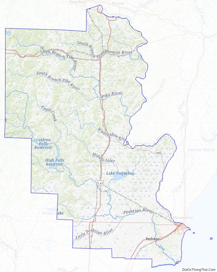
Major highways
- U.S. 8
- U.S. 41
- U.S. 141
- Highway 64
- Highway 180
Railroads
- Canadian National
- Escanaba and Lake Superior Railroad
- Watco
Buses
- List of intercity bus stops in Wisconsin
Airport
Crivitz Municipal Airport (FAA LID: 3D1) serves Marinette County and surrounding communities.
Marinette County Topographic Map
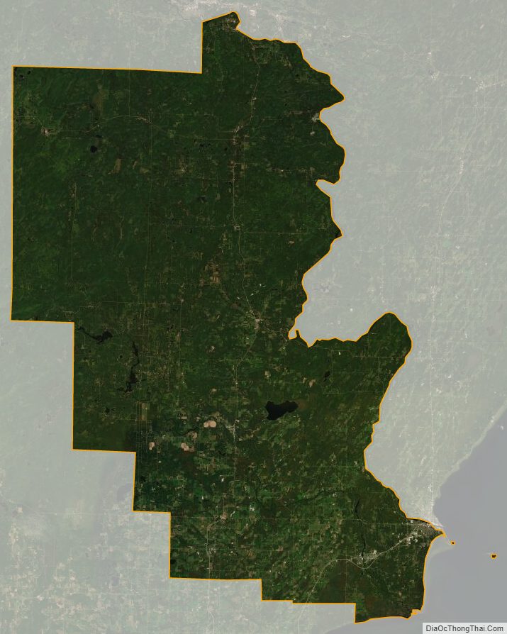
Marinette County Satellite Map
Marinette County Outline Map