Forest County is a county in the U.S. state of Wisconsin. As of the 2020 census, the population was 9,179. Its county seat is Crandon. The Forest County Potawatomi Community and the Sokaogon Chippewa Community have reservations in Forest County.
| Name: | Forest County |
|---|---|
| FIPS code: | 55-041 |
| State: | Wisconsin |
| Founded: | 1885 |
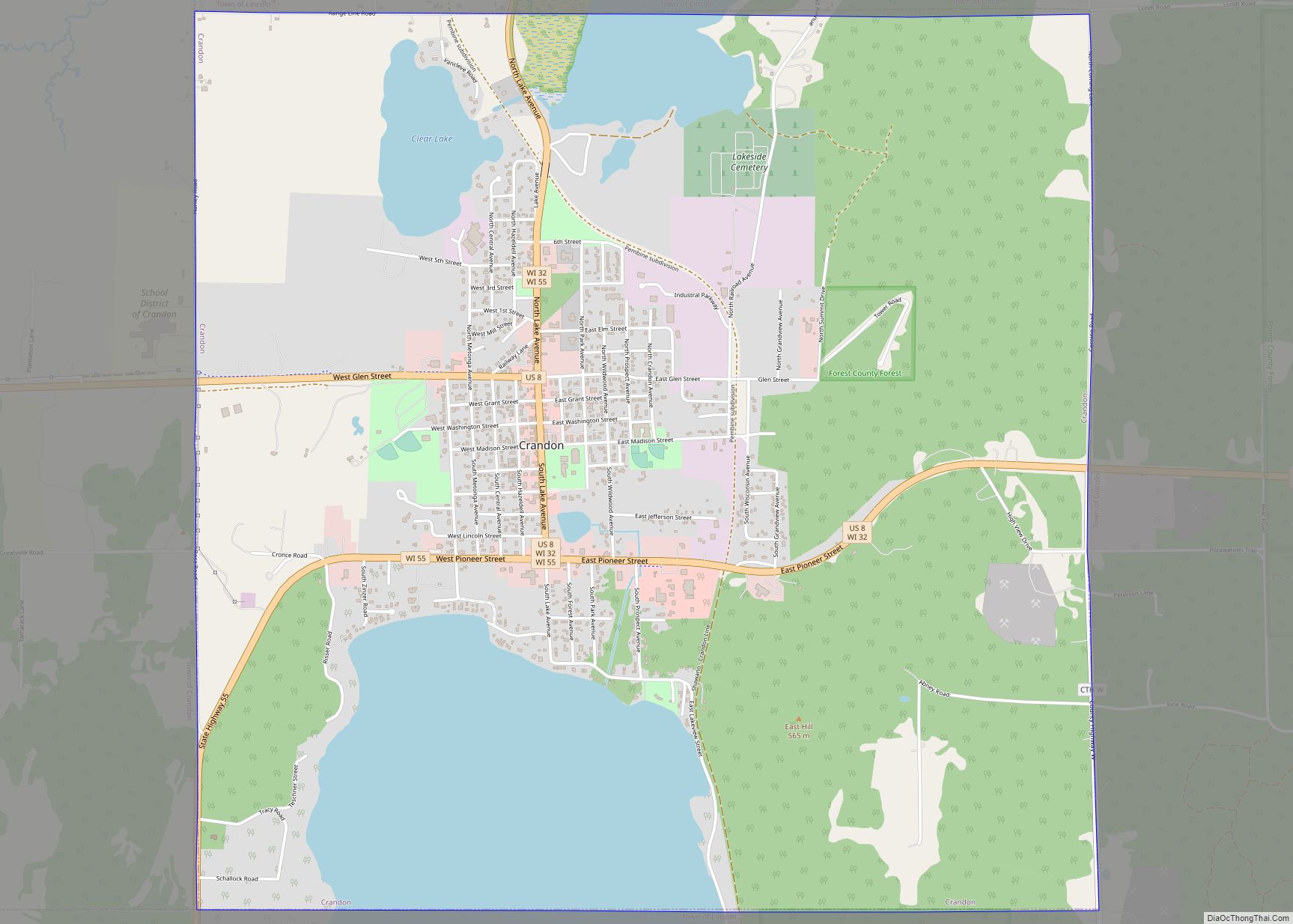
| Seat: | Crandon |
| Largest city: | Crandon |
| Total Area: | 1,046 sq mi (2,710 km²) |
| Land Area: | 1,014 sq mi (2,630 km²) |
| Total Population: | 9,179 |
| Population Density: | 9.1/sq mi (3.5/km²) |
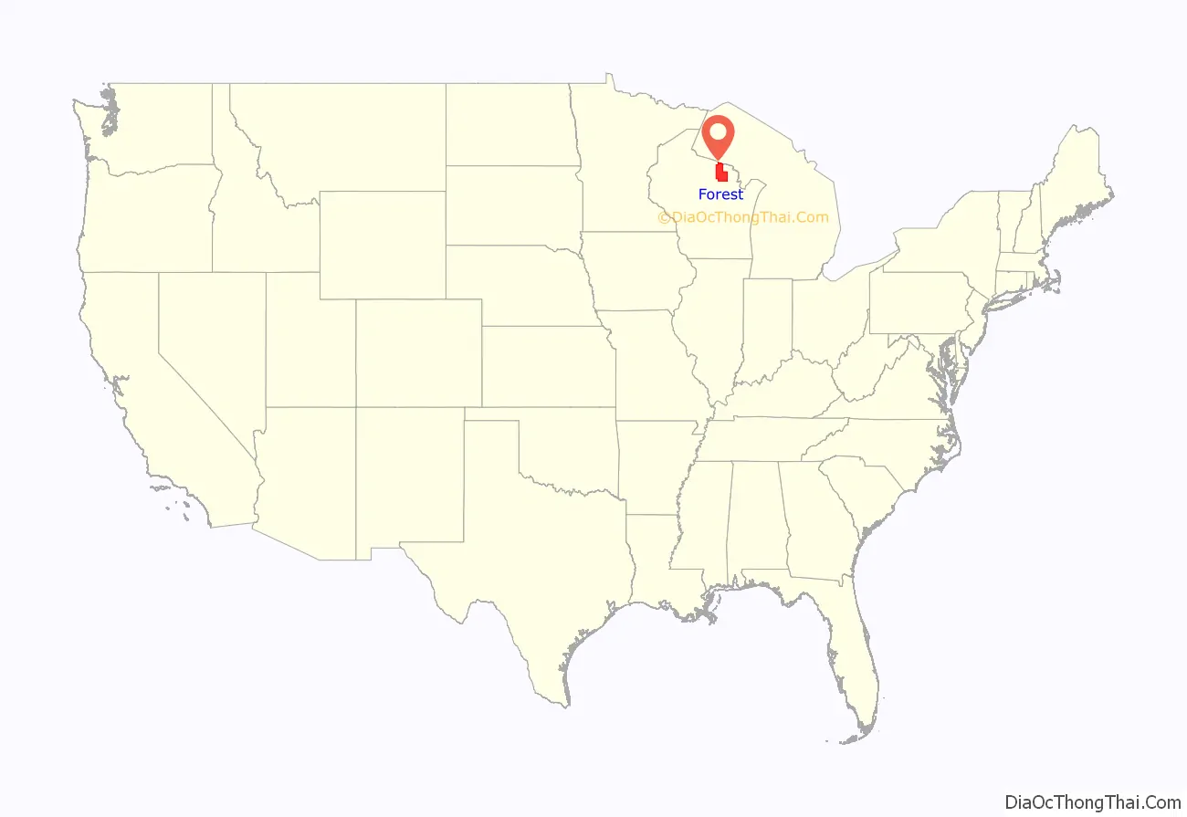
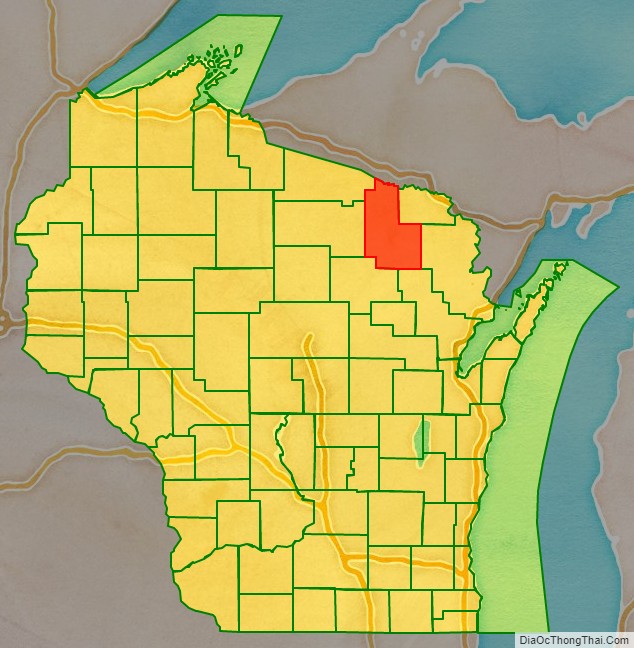
Forest County location map. Where is Forest County?
History
Forest County was created by the Wisconsin State Legislature in 1885 from portions of neighboring Langlade and Oconto counties. The county was named for the forests contained within its limits.
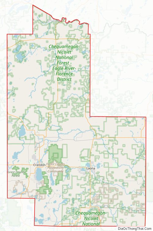
Forest County Road Map
Geography
According to the U.S. Census Bureau, the county has a total area of 1,046 square miles (2,710 km), of which 1,014 square miles (2,630 km) is land and 32 square miles (83 km) (3.1%) is water.
Adjacent counties
- Florence County – northeast
- Marinette County – east
- Oconto County – southeast
- Langlade County – southwest
- Oneida County – west
- Vilas County – northwest
- Iron County, Michigan – north
Major highways
Railroads
- Watco
Buses
- List of intercity bus stops in Wisconsin
Airport
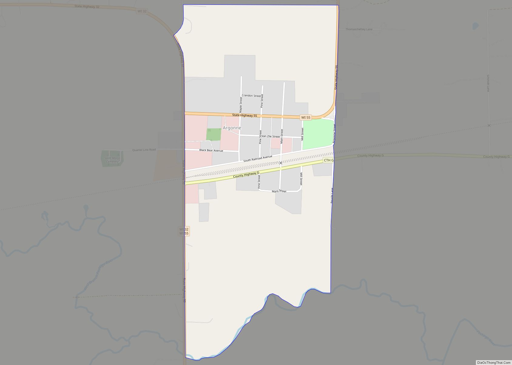
- Y55 – Crandon Municipal Airport
National protected area
- Nicolet National Forest (part)
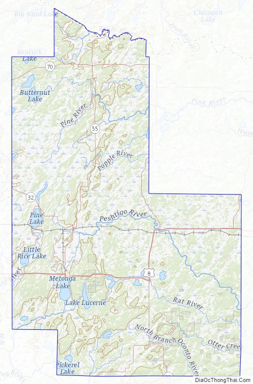
Forest County Topographic Map
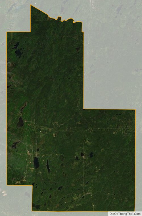
Forest County Satellite Map
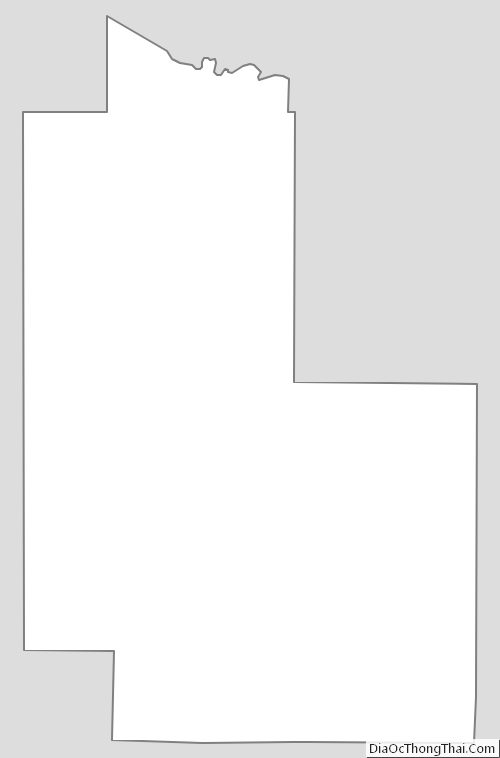
Forest County Outline Map