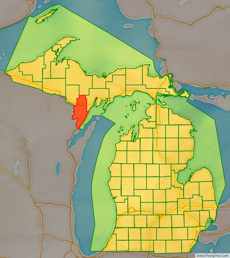
Menominee County (/məˈnɒməni/ mə-NAH-mə-nee) is a county located in the Upper Peninsula in the U.S. state of Michigan. As of the 2020 Census, the population was 23,502. The county seat is Menominee. The county’s name comes from an American Indian word meaning “wild rice eater” used to describe a tribe. The county was created in 1861 from area partitioned out of Delta County, under the name of Bleeker. When county government was organized in 1863, the name was changed to Menominee.
Menominee County is part of the Marinette, WI–MI Micropolitan Statistical Area.
| Name: | Menominee County |
|---|---|
| FIPS code: | 26-109 |
| State: | Michigan |
| Founded: | 1861 |
| Named for: | Menominee tribe |
| Seat: | Menominee |
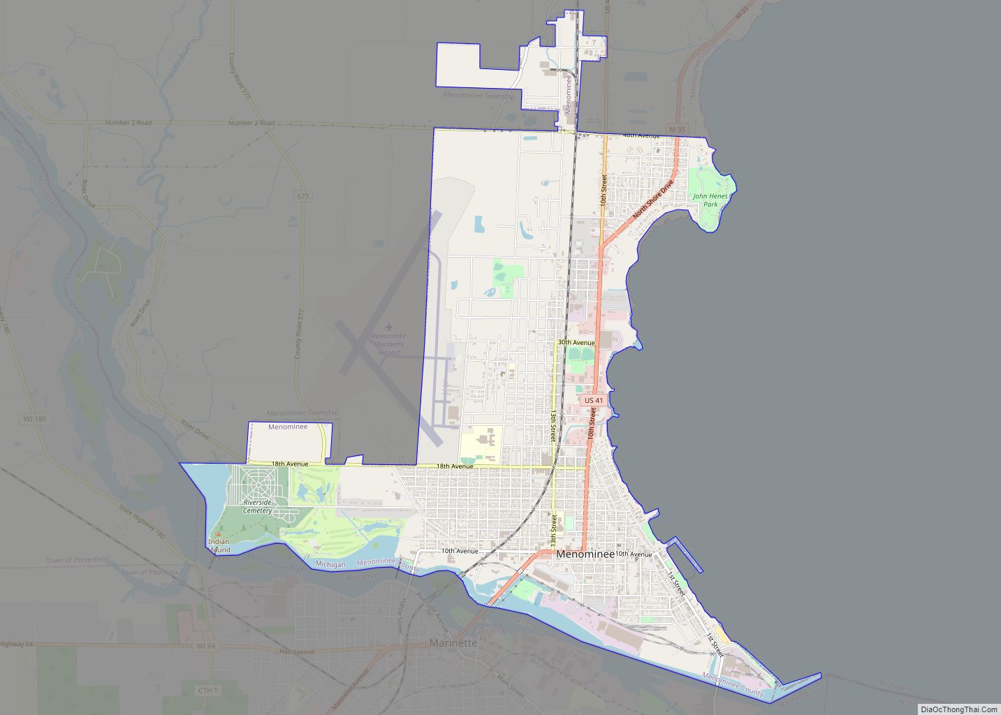
| Largest city: | Menominee |
| Total Area: | 1,338 sq mi (3,470 km²) |
| Land Area: | 1,044 sq mi (2,700 km²) |
| Total Population: | 23,502 |
| Population Density: | 23/sq mi (9/km²) |
| Time zone: | UTC−6 (Central) |
| Summer Time Zone (DST): | UTC−5 (CDT) |
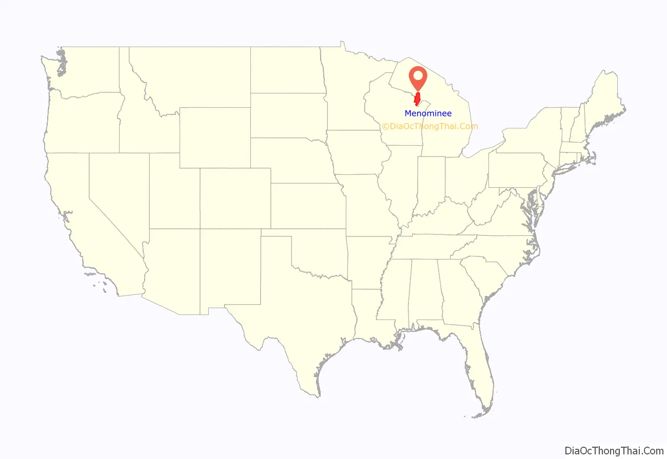
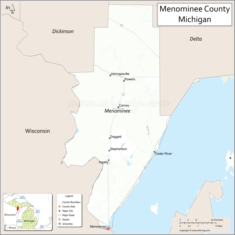
Menominee County location map. Where is Menominee County?
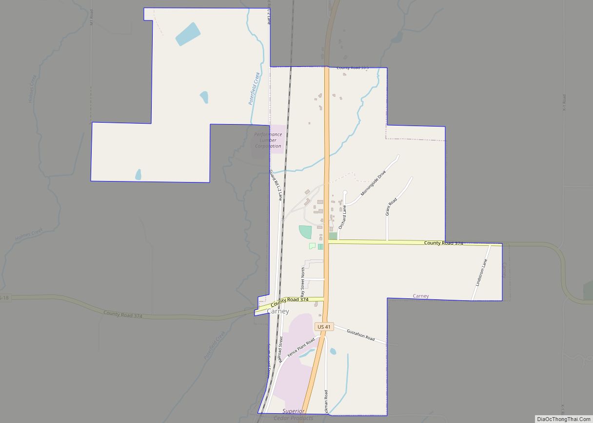
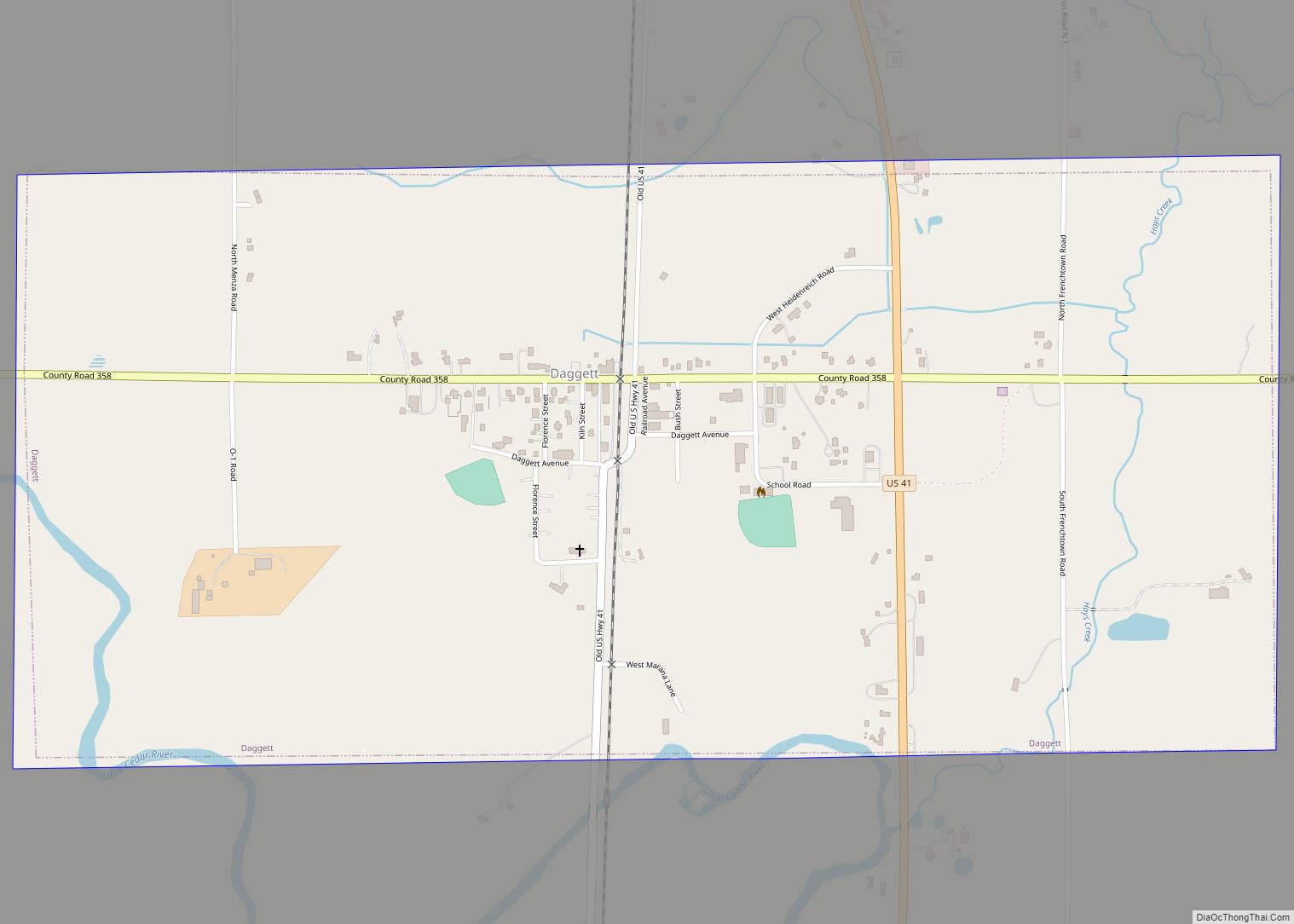
Menominee County Road Map
Geography
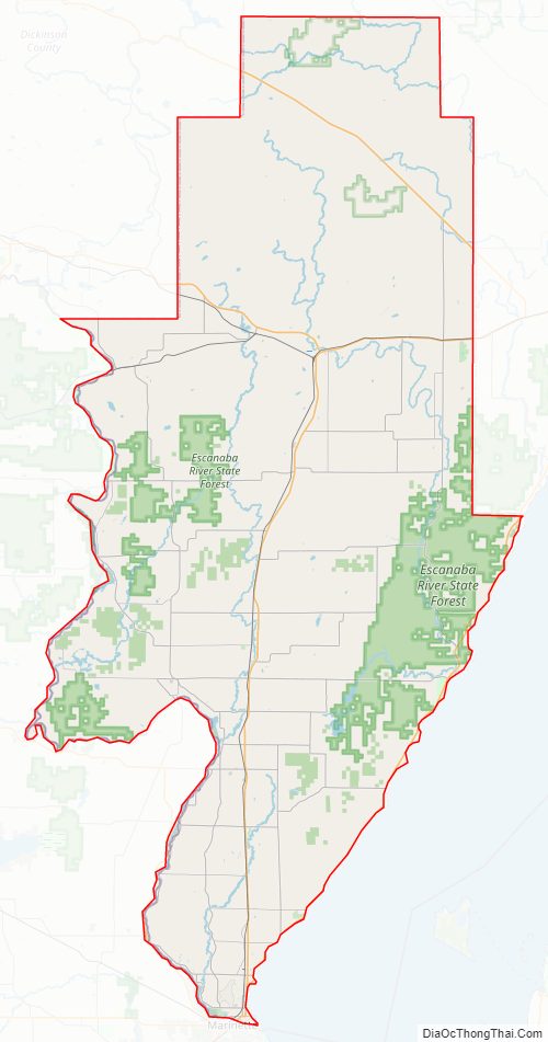
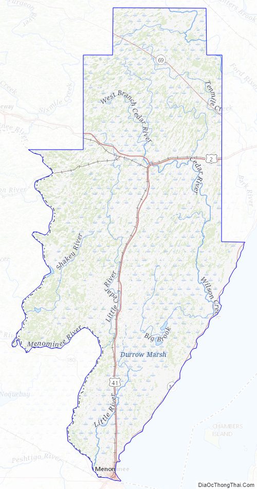
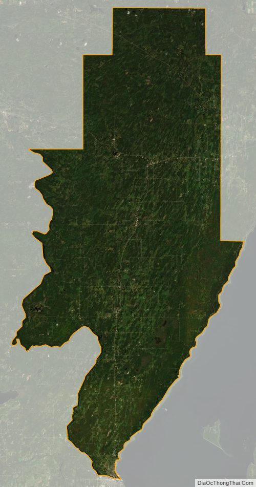
According to the U.S. Census Bureau, the county has a total area of 1,338 square miles (3,470 km), of which 1,044 square miles (2,700 km) is land and 294 square miles (760 km) (22%) is water.
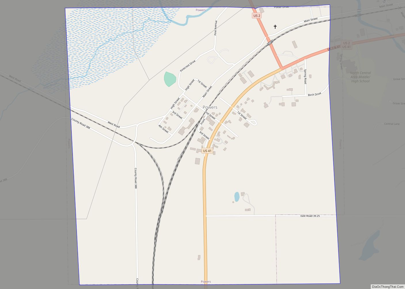
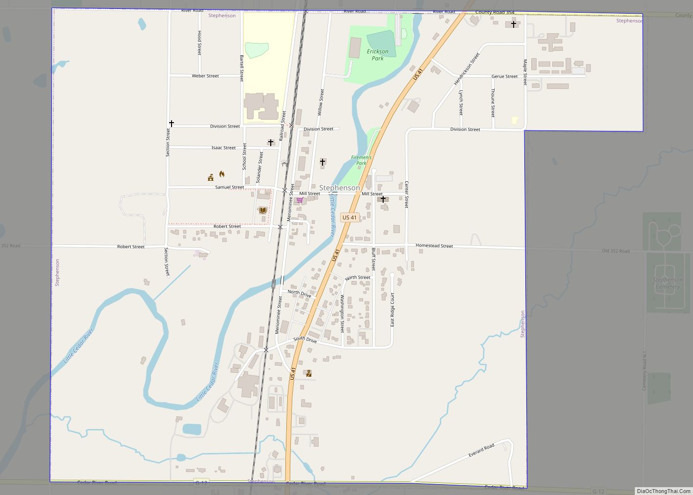
Major highways
- US 2 – enters west line of county from Dickinson County. Runs E to intersection with US 41 at Powers.
- US 41 – runs north from S tip of county to Powers, then E through Wilson and Indiantown into Delta County.
- M-35 – runs NE from Menominee along edge of Green Bay, into Delta County.
- M-69 – runs NW-SE through northern part of county. Passes Labranche, Whitney, and Perronville.
Airport
- Menominee–Marinette Twin County Airport (ICAO: KMNM) – in NW Menominee, is a public-owned public-use general-aviation airport.
Adjacent counties
By land
- Dickinson County (northwest)
- Marquette County (north, Eastern Time Zone border)
- Delta County (northeast, Eastern Time Zone border)
By the Menominee River
- Marinette County, Wisconsin (west)
By Green Bay
- Door County, Wisconsin (east)
Menominee County Topographic Map
Menominee County Satellite Map
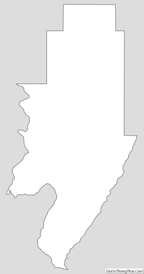
Menominee County Outline Map