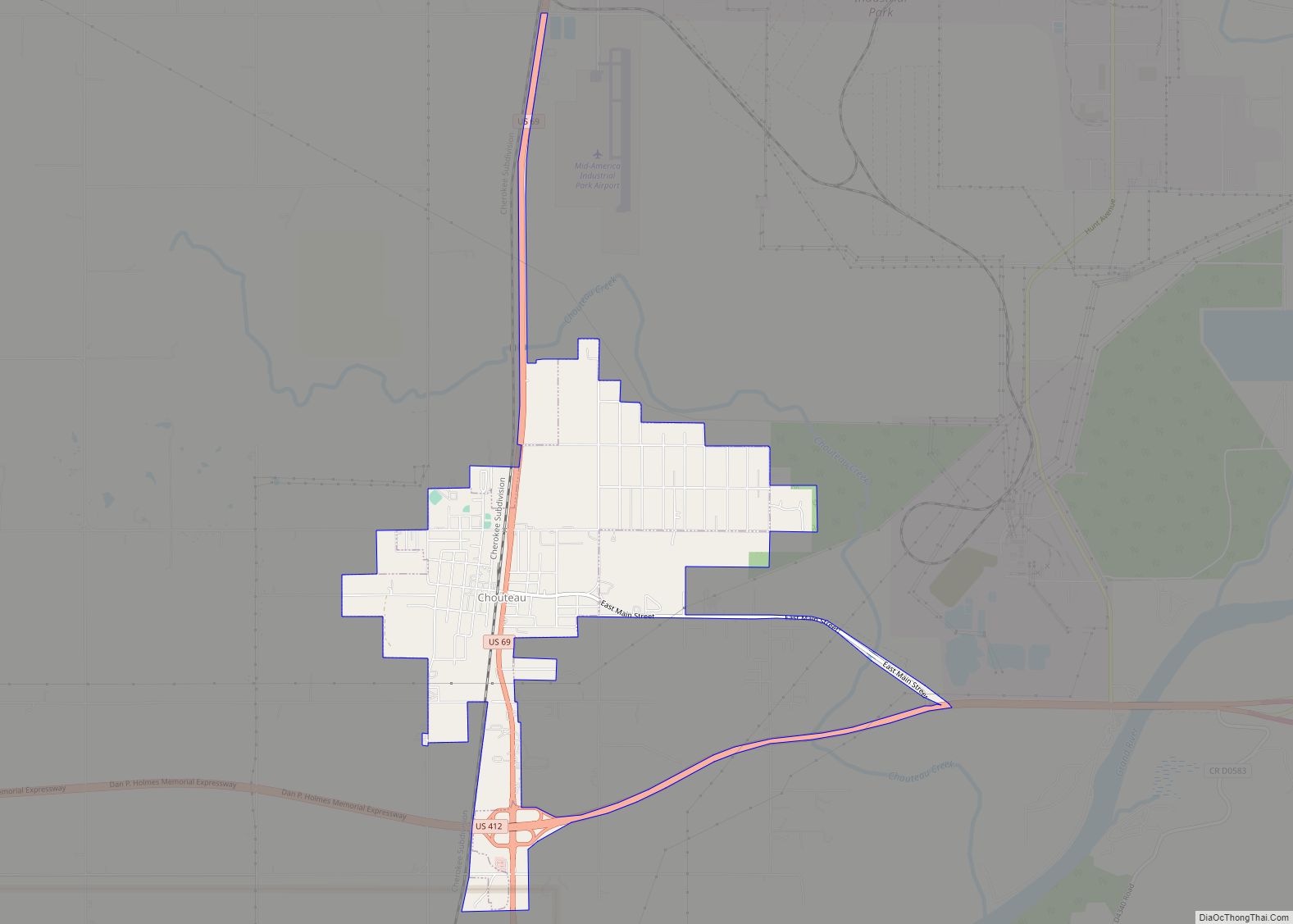
Chouteau /ʃoʊˈtoʊ/ is the second-largest town in Mayes County, Oklahoma, United States. The population was 2,097 at the 2010 census, an increase of 8.6 percent over the figure of 1,931 recorded in 2000.
| Name: | Chouteau town |
|---|---|
| LSAD Code: | 43 |
| LSAD Description: | town (suffix) |
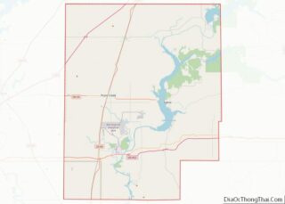
| State: | Oklahoma |
| County: | Mayes County |
| Elevation: | 627 ft (191 m) |
| Total Area: | 3.36 sq mi (8.71 km²) |
| Land Area: | 3.36 sq mi (8.71 km²) |
| Water Area: | 0.00 sq mi (0.00 km²) |
| Total Population: | 2,059 |
| Population Density: | 612.62/sq mi (236.53/km²) |
| ZIP code: | 74337 |
| Area code: | 539/918 |
| FIPS code: | 4014300 |
| GNISfeature ID: | 1091332 |
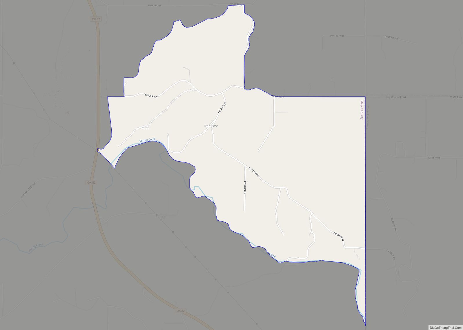
Online Interactive Map
Click on ![]() to view map in "full screen" mode.
to view map in "full screen" mode.
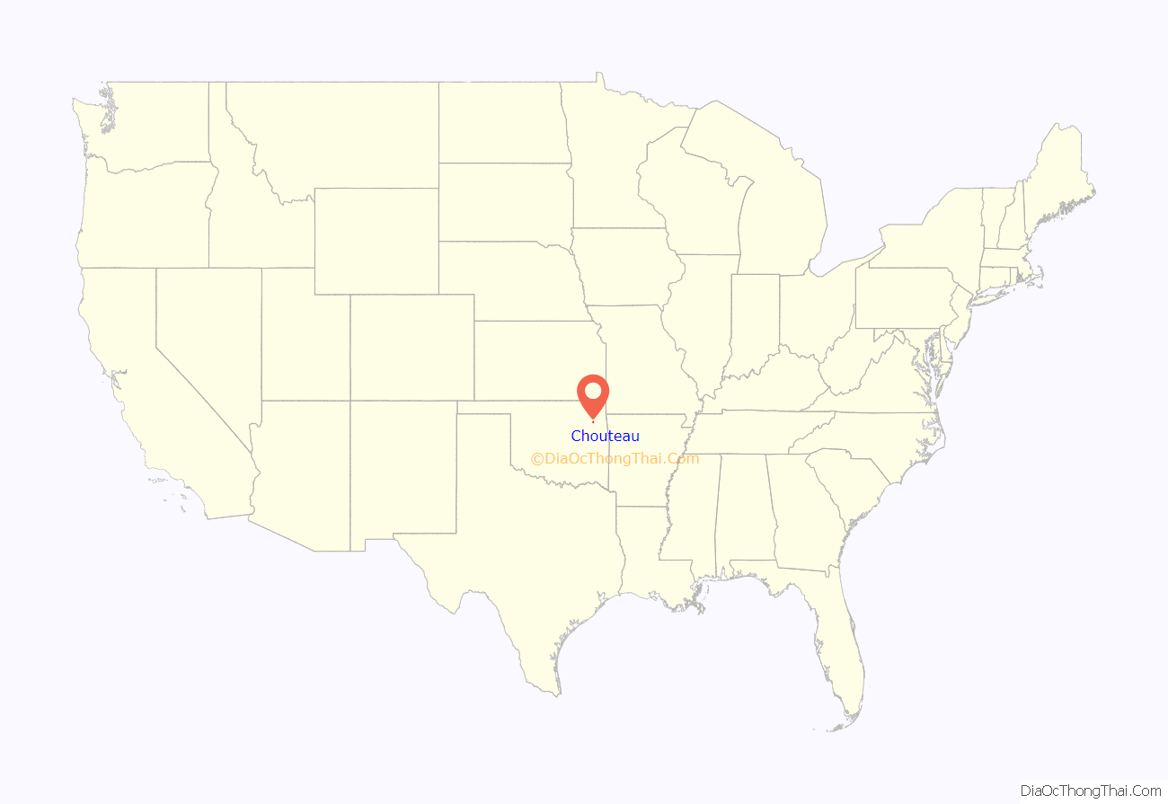
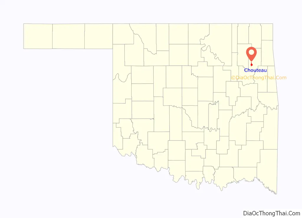
Chouteau location map. Where is Chouteau town?
History
Chouteau, originally called Cody’s Creek, became a stop on the Katy railroad in 1871. It soon became a thriving cattle town. The name was changed to Chouteau after the creek that flows north of town that was named for French fur trader Auguste Pierre Chouteau from the Chouteau family. Auguste created the first permanent white settlement in present-day Salina, Oklahoma.
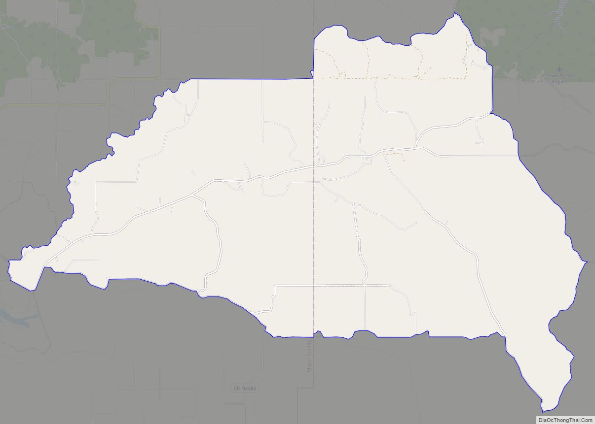
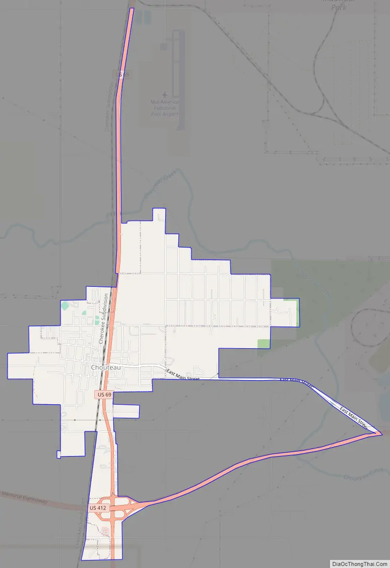
Chouteau Road Map
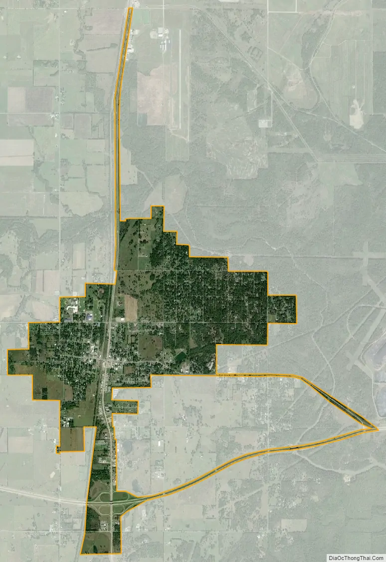
Chouteau city Satellite Map
Geography
Chouteau is located at 36°11′13″N 95°20′18″W / 36.186957°N 95.338272°W / 36.186957; -95.338272.
According to the United States Census Bureau, the town has a total area of 2.4 square miles (6.2 km), all land.
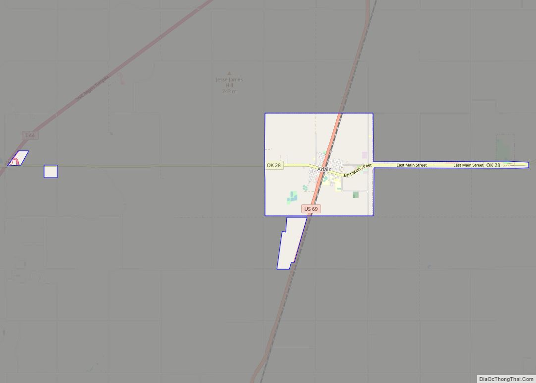
The town is situated near the junction of U.S. Routes 69 and 412.
See also
Map of Oklahoma State and its subdivision:- Adair
- Alfalfa
- Atoka
- Beaver
- Beckham
- Blaine
- Bryan
- Caddo
- Canadian
- Carter
- Cherokee
- Choctaw
- Cimarron
- Cleveland
- Coal
- Comanche
- Cotton
- Craig
- Creek
- Custer
- Delaware
- Dewey
- Ellis
- Garfield
- Garvin
- Grady
- Grant
- Greer
- Harmon
- Harper
- Haskell
- Hughes
- Jackson
- Jefferson
- Johnston
- Kay
- Kingfisher
- Kiowa
- Latimer
- Le Flore
- Lincoln
- Logan
- Love
- Major
- Marshall
- Mayes
- McClain
- McCurtain
- McIntosh
- Murray
- Muskogee
- Noble
- Nowata
- Okfuskee
- Oklahoma
- Okmulgee
- Osage
- Ottawa
- Pawnee
- Payne
- Pittsburg
- Pontotoc
- Pottawatomie
- Pushmataha
- Roger Mills
- Rogers
- Seminole
- Sequoyah
- Stephens
- Texas
- Tillman
- Tulsa
- Wagoner
- Washington
- Washita
- Woods
- Woodward
- Alabama
- Alaska
- Arizona
- Arkansas
- California
- Colorado
- Connecticut
- Delaware
- District of Columbia
- Florida
- Georgia
- Hawaii
- Idaho
- Illinois
- Indiana
- Iowa
- Kansas
- Kentucky
- Louisiana
- Maine
- Maryland
- Massachusetts
- Michigan
- Minnesota
- Mississippi
- Missouri
- Montana
- Nebraska
- Nevada
- New Hampshire
- New Jersey
- New Mexico
- New York
- North Carolina
- North Dakota
- Ohio
- Oklahoma
- Oregon
- Pennsylvania
- Rhode Island
- South Carolina
- South Dakota
- Tennessee
- Texas
- Utah
- Vermont
- Virginia
- Washington
- West Virginia
- Wisconsin
- Wyoming