Pryor Creek or Pryor is a city in and county seat of Mayes County, Oklahoma, United States. The population was 8,659 at the 2000 census and 9,539 in the 2010 census.
Originally named Coo-Y-Yah, Cherokee for “place of the huckleberries”, it was renamed Pryor Creek in 1887 which was the name of the local railroad station, which in turn was named for the nearby creek. Due to confusion in distinguishing handwritten mailing addresses to Pryor Creek and Pond Creek, the U.S. Postal Service name for the city was shortened to Pryor, and both names are in common usage.
| Name: | Pryor Creek city |
|---|---|
| LSAD Code: | 25 |
| LSAD Description: | city (suffix) |
| State: | Oklahoma |
| County: | Mayes County |
| Elevation: | 630 ft (190 m) |
| Total Area: | 10.03 sq mi (25.98 km²) |
| Land Area: | 9.99 sq mi (25.88 km²) |
| Water Area: | 0.04 sq mi (0.10 km²) 0.31% |
| Total Population: | 9,444 |
| Population Density: | 944.97/sq mi (364.87/km²) |
| ZIP code: | 74361, 74362 |
| Area code: | 918/539 |
| FIPS code: | 4061000 |
| GNISfeature ID: | 1102850 |
| Website: | www.pryorcreek.org |
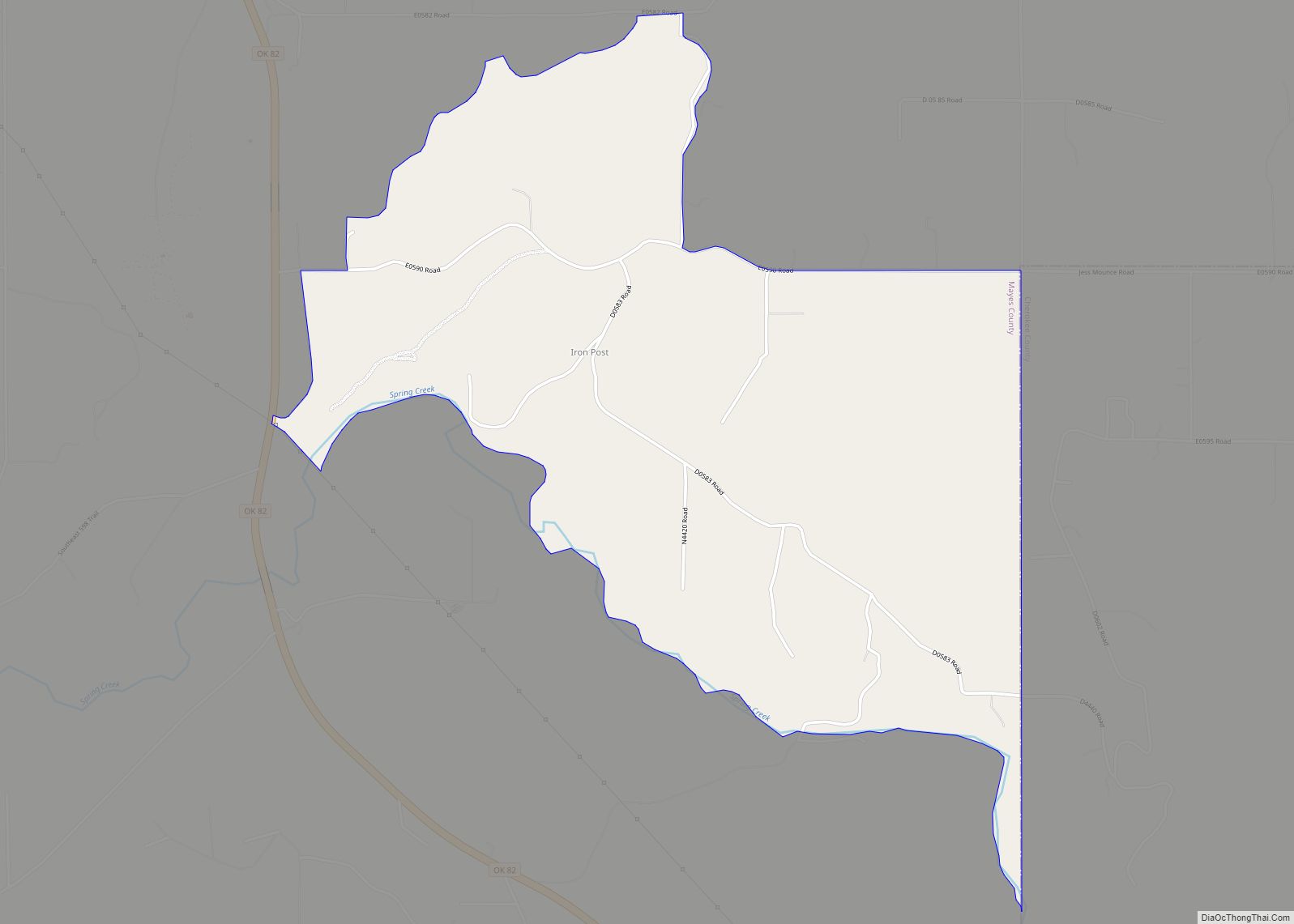
Online Interactive Map
Click on ![]() to view map in "full screen" mode.
to view map in "full screen" mode.
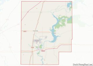
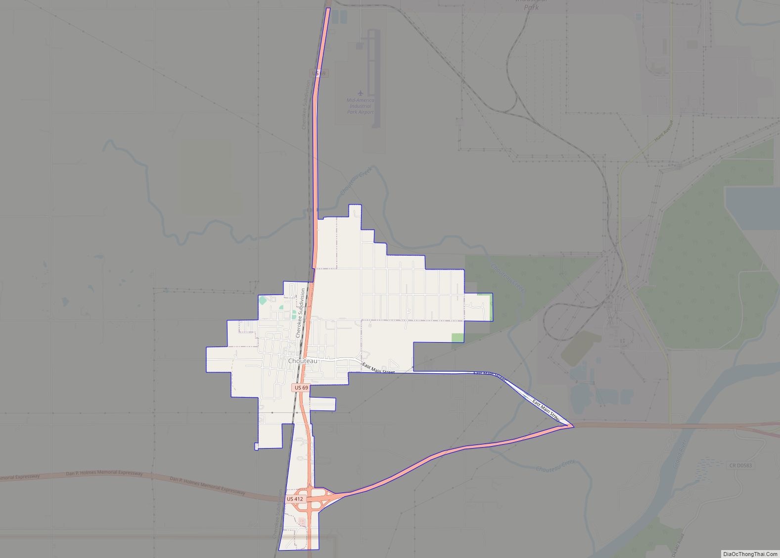
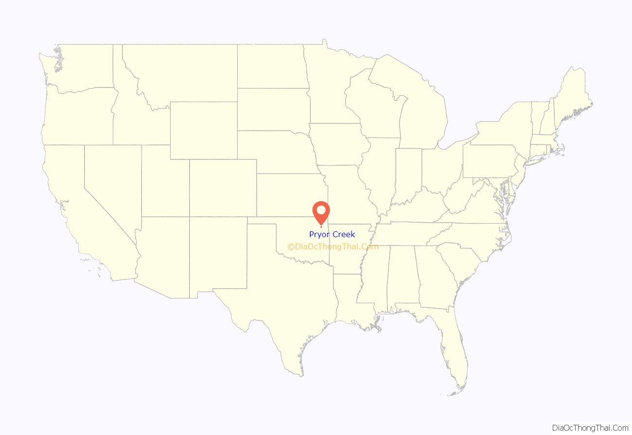
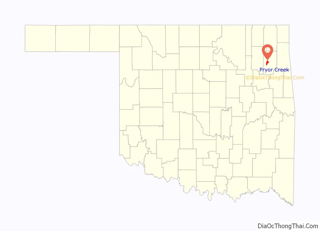
Pryor Creek location map. Where is Pryor Creek city?
History
In the early 1800s, treaties with the Cherokee, Osage, and Choctaw gave the tribes allotments in Indian Territory in the region that would become Oklahoma. Captain Nathaniel Hale Pryor, who was married to an Osage woman and served as an agent to the Osage people, was among those settling northeastern Oklahoma. He established a trading post on Grand River, shortly before the Union Mission was established 5 miles southeast of present-day Chouteau in 1820.
Pryor Creek is along the path of the Texas Road cattle trail, and the later Jefferson Highway of the early National Trail System, both roughly along the route of U.S. Route 69 through Oklahoma today.
In 1870, the Missouri-Kansas-Texas Railroad started construction in the Cherokee Nation along the Kansas border, laying tracks to Texas. By June 1871, the railroad reached present-day Pryor Creek.
A post office was eventually established naming the town Coo-y-yah, Indian Territory. Coo-y-yah is Cherokee for “place of the huckleberries”. On April 23, 1887, Coo-y-yah was changed to Pryor Creek, but the “Creek” was dropped by the post office on January 26, 1909. The official name of the city government is still Pryor Creek despite a proposition put before voters in 1963 to change the name officially to Pryor.
On April 27, 1942, a tornado swept along Pryor’s main street from the western edge of the business district to the eastern edge of the city, destroying nearly every building and causing extensive damage to the residential section. The storm killed 52 people, according to the U.S. Weather Bureau, but The Associated Press set the total at 60 two days after the storm. More than 400 were injured in the storm that caused damage estimated at US$3 million.
The F4 tornado struck about 5 p.m. (17:00) local time, an hour and a half after one hit near Talala, Oklahoma, and mowed a path about 5 miles (8 km) long, killing three and injuring 12. Talala, which was not hit, is about 30 miles (48 km) northwest of Pryor Creek. Governor Leon C. Phillips put the area under martial law, but because the Oklahoma National Guard had been activated for service during World War II, he sent state troopers to rescue victims, maintain order and prevent looting.
The Pryor tornado ranks as the fifth deadliest in Oklahoma history behind tornadoes at Woodward in 1947, Snyder in 1905, Peggs in 1920, and Antlers in 1945. The May 3, 1999, tornado at Midwest City caused more damage but fewer deaths.
In 1951, voters approved the present city charter of a mayor-council government system, which provided for the election of a mayor, clerk, treasurer, police chief and eight councilors. The charter also established a cemetery, park, library board, and a municipal utility board, which oversees operations of the city-owned gas, water, electric and sewer systems.
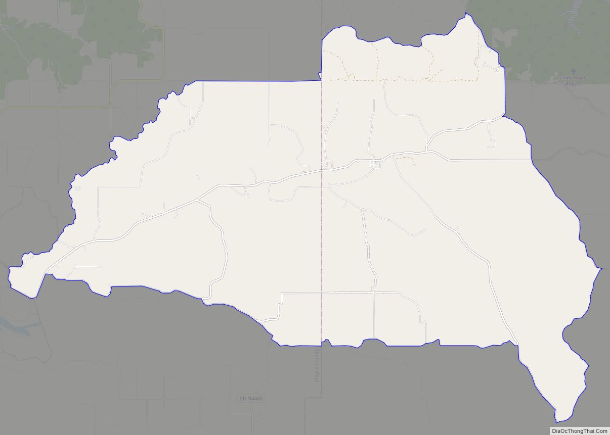
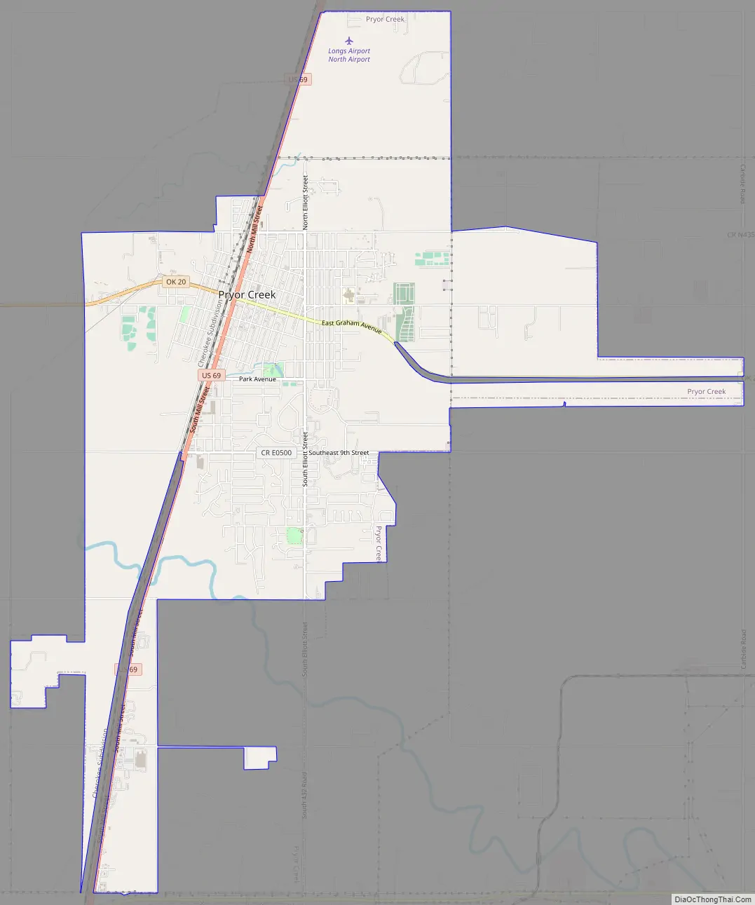
Pryor Creek Road Map
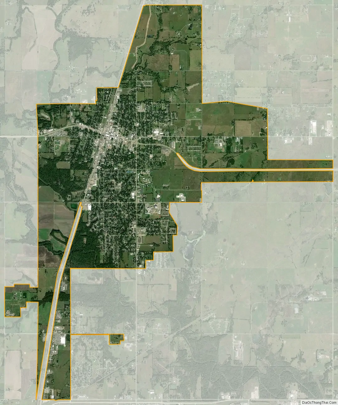
Pryor Creek city Satellite Map
Geography
Pryor is located in northeast Oklahoma at the intersection of U.S. Route 69 and Oklahoma State Highway 20. The stream known as Pryor Creek flows past the west and south sides of the city.
According to the United States Census Bureau, the city has a total area of 6.5 square miles (16.9 km), of which 6.5 square miles (16.8 km) is land and 0.04 square mile (0.1 km) (0.31%) is water.
See also
Map of Oklahoma State and its subdivision:- Adair
- Alfalfa
- Atoka
- Beaver
- Beckham
- Blaine
- Bryan
- Caddo
- Canadian
- Carter
- Cherokee
- Choctaw
- Cimarron
- Cleveland
- Coal
- Comanche
- Cotton
- Craig
- Creek
- Custer
- Delaware
- Dewey
- Ellis
- Garfield
- Garvin
- Grady
- Grant
- Greer
- Harmon
- Harper
- Haskell
- Hughes
- Jackson
- Jefferson
- Johnston
- Kay
- Kingfisher
- Kiowa
- Latimer
- Le Flore
- Lincoln
- Logan
- Love
- Major
- Marshall
- Mayes
- McClain
- McCurtain
- McIntosh
- Murray
- Muskogee
- Noble
- Nowata
- Okfuskee
- Oklahoma
- Okmulgee
- Osage
- Ottawa
- Pawnee
- Payne
- Pittsburg
- Pontotoc
- Pottawatomie
- Pushmataha
- Roger Mills
- Rogers
- Seminole
- Sequoyah
- Stephens
- Texas
- Tillman
- Tulsa
- Wagoner
- Washington
- Washita
- Woods
- Woodward
- Alabama
- Alaska
- Arizona
- Arkansas
- California
- Colorado
- Connecticut
- Delaware
- District of Columbia
- Florida
- Georgia
- Hawaii
- Idaho
- Illinois
- Indiana
- Iowa
- Kansas
- Kentucky
- Louisiana
- Maine
- Maryland
- Massachusetts
- Michigan
- Minnesota
- Mississippi
- Missouri
- Montana
- Nebraska
- Nevada
- New Hampshire
- New Jersey
- New Mexico
- New York
- North Carolina
- North Dakota
- Ohio
- Oklahoma
- Oregon
- Pennsylvania
- Rhode Island
- South Carolina
- South Dakota
- Tennessee
- Texas
- Utah
- Vermont
- Virginia
- Washington
- West Virginia
- Wisconsin
- Wyoming