Salina (/səˈlaɪnə/ sə-LY-nə) is a town in Mayes County, Oklahoma, United States. The population was 1,396 at the 2010 census, a slight decline from the figure of 1,422 recorded in 2000.
| Name: | Salina town |
|---|---|
| LSAD Code: | 43 |
| LSAD Description: | town (suffix) |
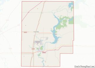
| State: | Oklahoma |
| County: | Mayes County |
| Elevation: | 640 ft (195 m) |
| Total Area: | 1.18 sq mi (3.06 km²) |
| Land Area: | 1.07 sq mi (2.78 km²) |
| Water Area: | 0.11 sq mi (0.28 km²) |
| Total Population: | 1,085 |
| Population Density: | 1,011.18/sq mi (390.39/km²) |
| ZIP code: | 74365 |
| Area code: | 539/918 |
| FIPS code: | 4064950 |
| GNISfeature ID: | 1097656 |
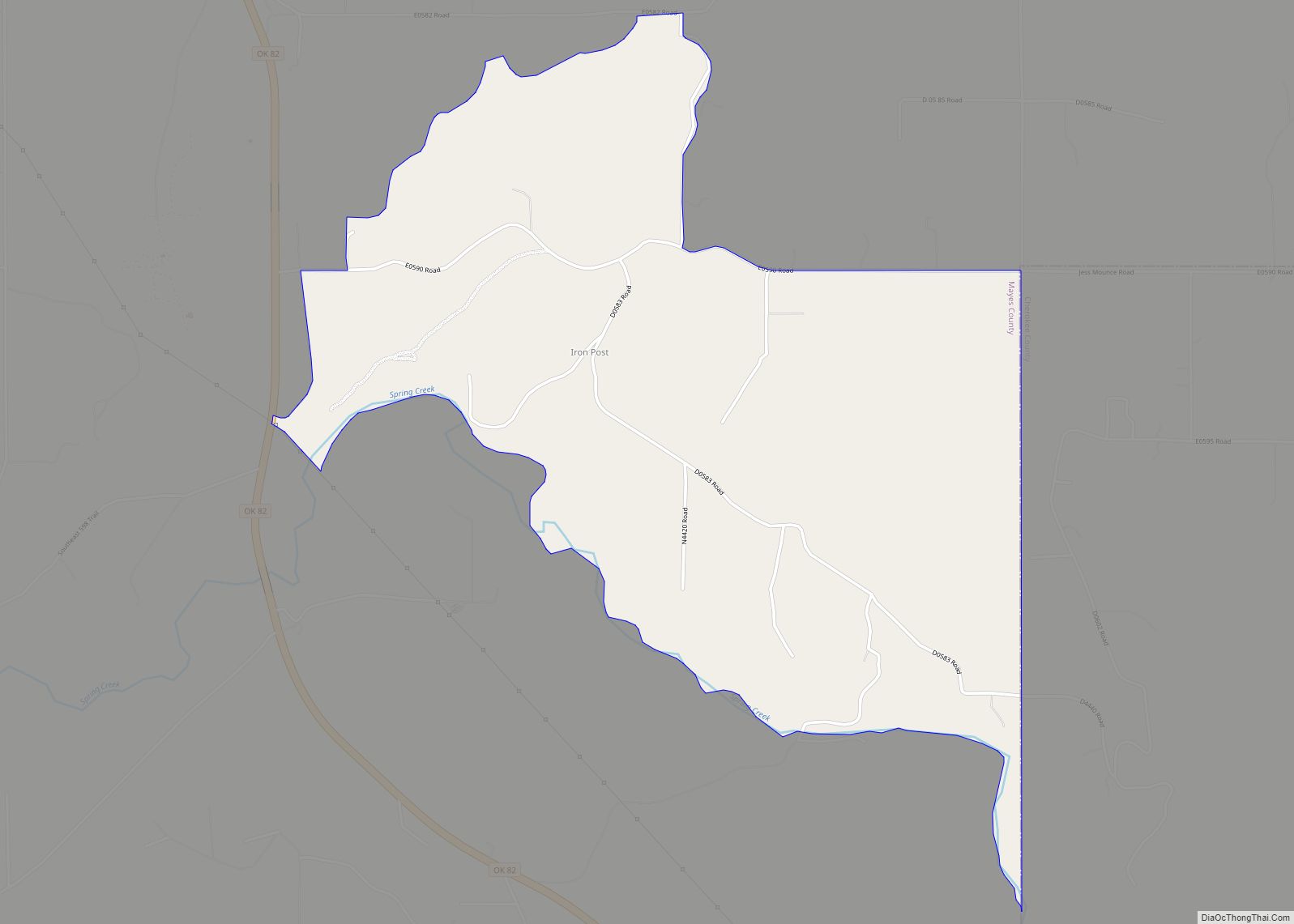
Online Interactive Map
Click on ![]() to view map in "full screen" mode.
to view map in "full screen" mode.
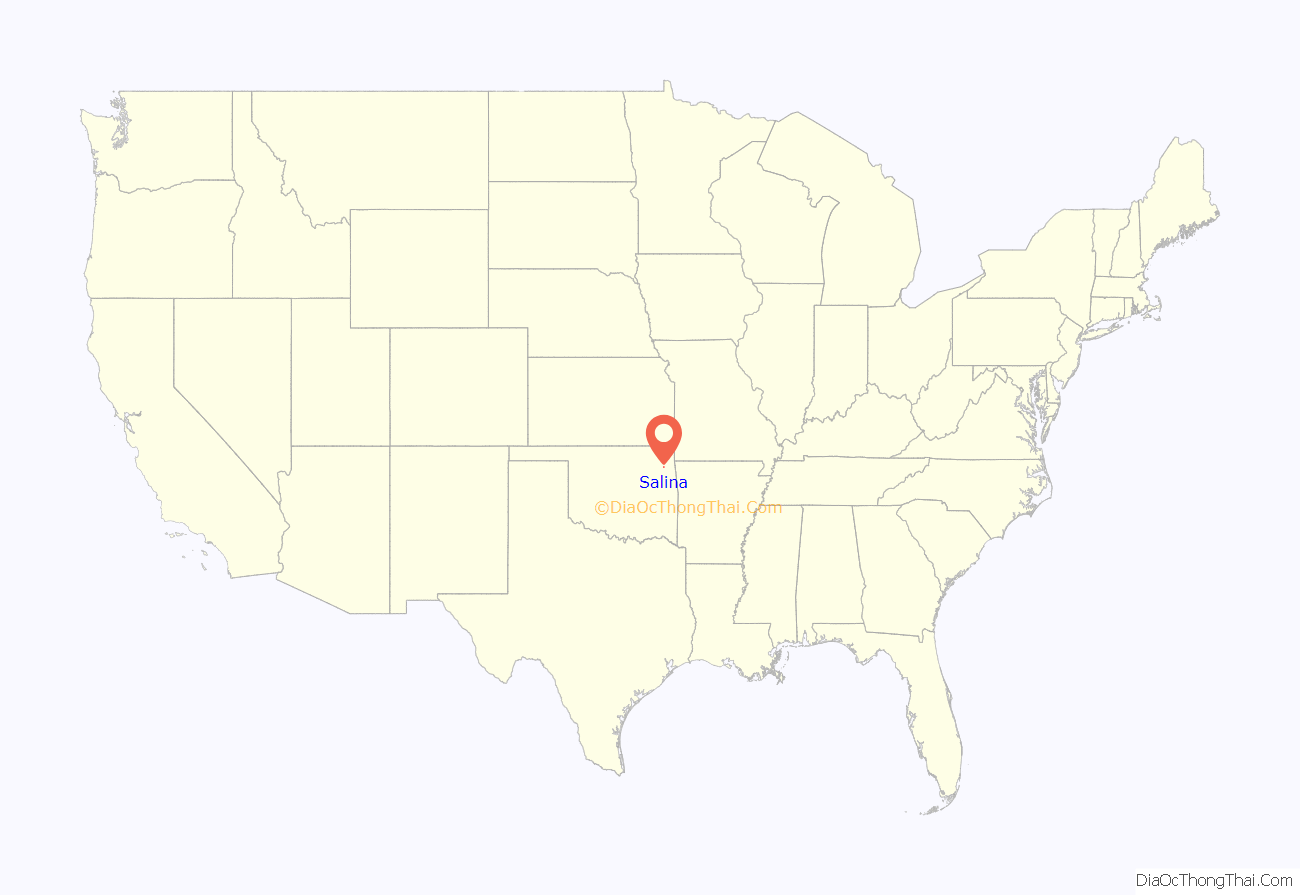
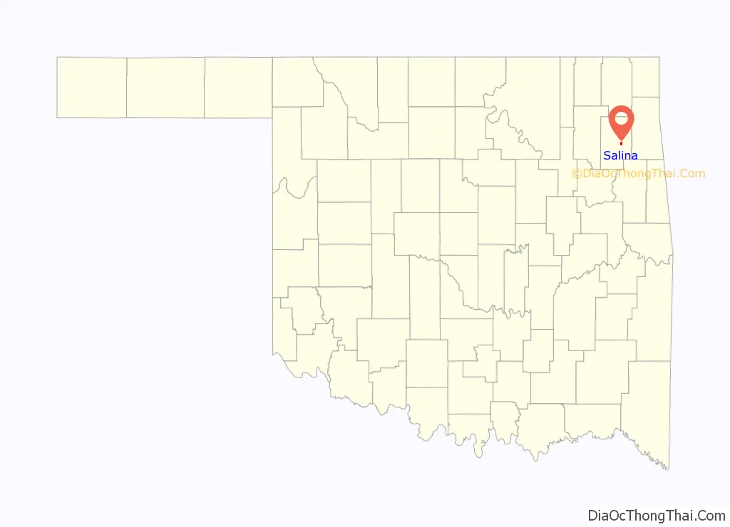
Salina location map. Where is Salina town?
History
For thousands of years indigenous peoples had lived along the rivers in this area, with varying cultures. By the time of European encounter, the Osage was a major tribe in the area. Their territory started at the Missouri River and extended west, including to parts of present-day Arkansas.
In 1541 the Spanish explorer Hernando de Soto and expedition passed through the area, as did the 1721 expedition of Bernard de la Harpe. They gave Spanish names to many of the local streams, which the Osage had already named.
In 1796 Jean Pierre Chouteau, a French trader from St. Louis, established the first trading post in 1796 at the junction of the Grand/Neosho River and Saline Creek for business with the Osage. Remembered today as one of the first permanent “white” (European-American) settlements in present-day Oklahoma, at that time the area was part of the Spanish Louisiana. The United States took possession of the land that included Salina with the Louisiana Purchase in 1803.
By 1817, keelboats were landing goods at Salina from Ft. Smith, Arkansas, and the area was considered part of what was known as “Indian Territory” of the United States. That year, Chouteau’s son Auguste Pierre and his partner Joseph Revoir received an exclusive license from Spanish authorities to trade with the Osage. In 1820, the Spanish government of the time took the monopoly away. Chouteau convinced the Osage tribe, under the leadership of Cashesgra (“Big Trek”), to migrate into Indian Territory near the trading post, and ensured the survival of the business.
In 1820, the United States Department of War authorized Epaphras Chapman to establish the Union Mission near the mouth of Chouteau Creek to educate and convert the Osage. The mission had the first printing press in present-day Oklahoma. Under its policy of Indian Removal, the US government began to remove Native American tribes from the Southeast, giving them land in the Territory in exchange.
The Indians boiled salt from the water rising from limestone rock about a mile south of the trading post. Springs included one hot water geyser that shot boiling water 8 to 10 feet (3.0 m) into the air. Chouteau obtained the springs in a treaty in 1825 and sold them to Sam Houston in 1830. A Cherokee, Captain John Rogers, began making salt from the springs and named them Grand Saline. He built his home nearby. Washington Irving visited on October 6, 1832, accompanied by Sam Houston. In 1838 the government began moving Cherokee to the area in implementation of the Indian Removal Act.
By 1839, Rogers was operating 115 salt kettles. He lost the salt works in 1844 to the Cherokee Nation under a new law defining their territory. The Cherokee leased the works to Lewis Ross (brother of Chief John Ross). Ross built a house there and operated the salt business using African American slave labor. Drilling for salt water, in 1859 Ross accidentally hit the first vein of oil in Indian Territory (Oklahoma). It flowed at the rate of 10 barrels a day for a year. He operated two stores in Salina.
In 1862 during the American Civil War, Union soldiers came down unopposed on the Grand River to Salina and set all slaves free. The soldiers ransacked the Ross home, had the slaves load everything on wagons, and hauled the goods across the border to the free state of Kansas. In 1872 the Cherokee Nation purchased the Ross home for $26,000 and used it for years as the Cherokee Orphan Asylum. It was destroyed by fire in 1899. Reconstructed, the structure is now used as a gym.
The Cherokee chief Samuel Houston Mayes established a ferry and mercantile business on the Grand River in 1906.
The establishment of the Old Chouteau Trading Post at Salina was commemorated on October 10–11, 1938 and has become an annual celebration. Among those speaking at the inaugural event were Governor-Elect Leon C. Phillips, Dr. M. L. Wardell of the University of Oklahoma, Mr. Thomas J. Harrison of Pryor, and Yvonne Chouteau, a descendant of Jean Pierre Chouteau.
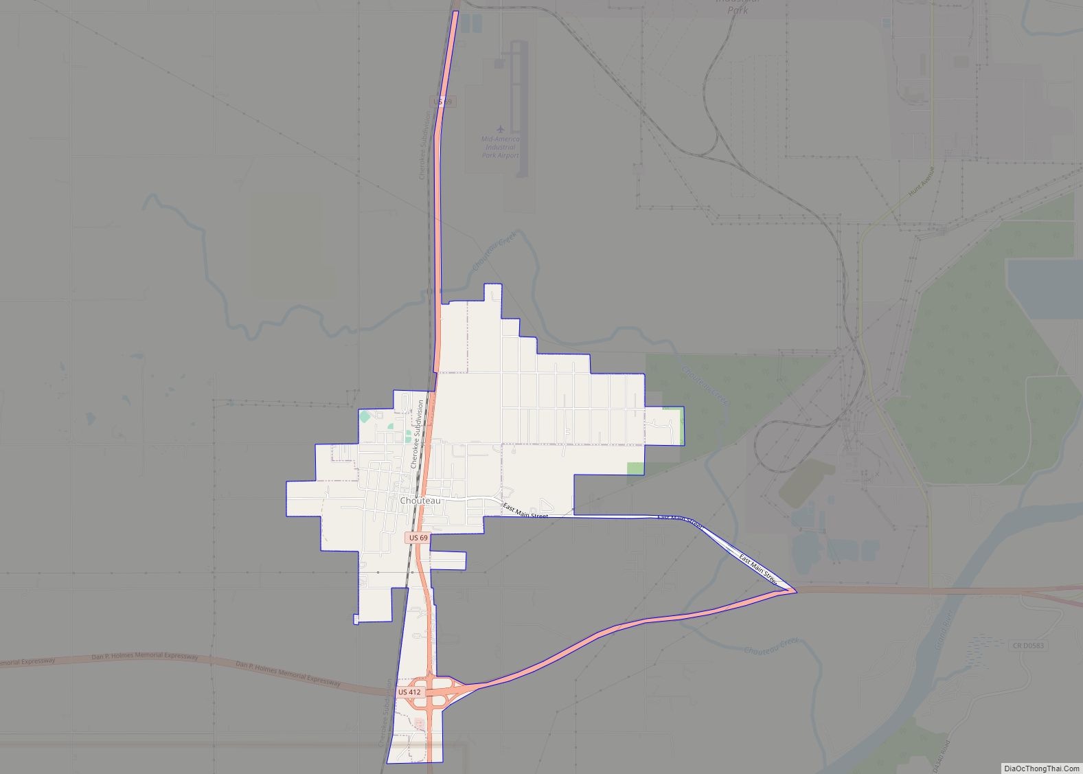
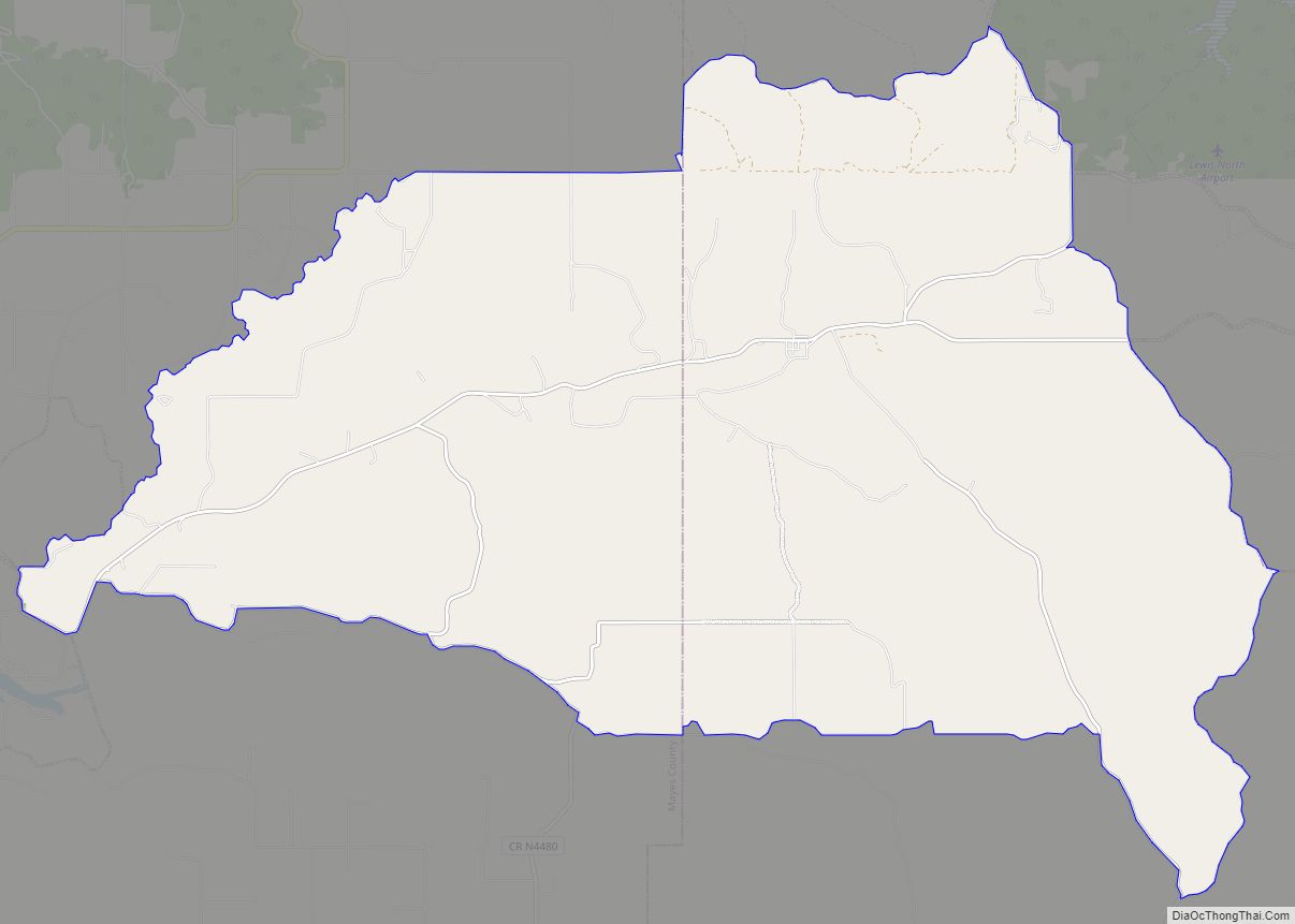
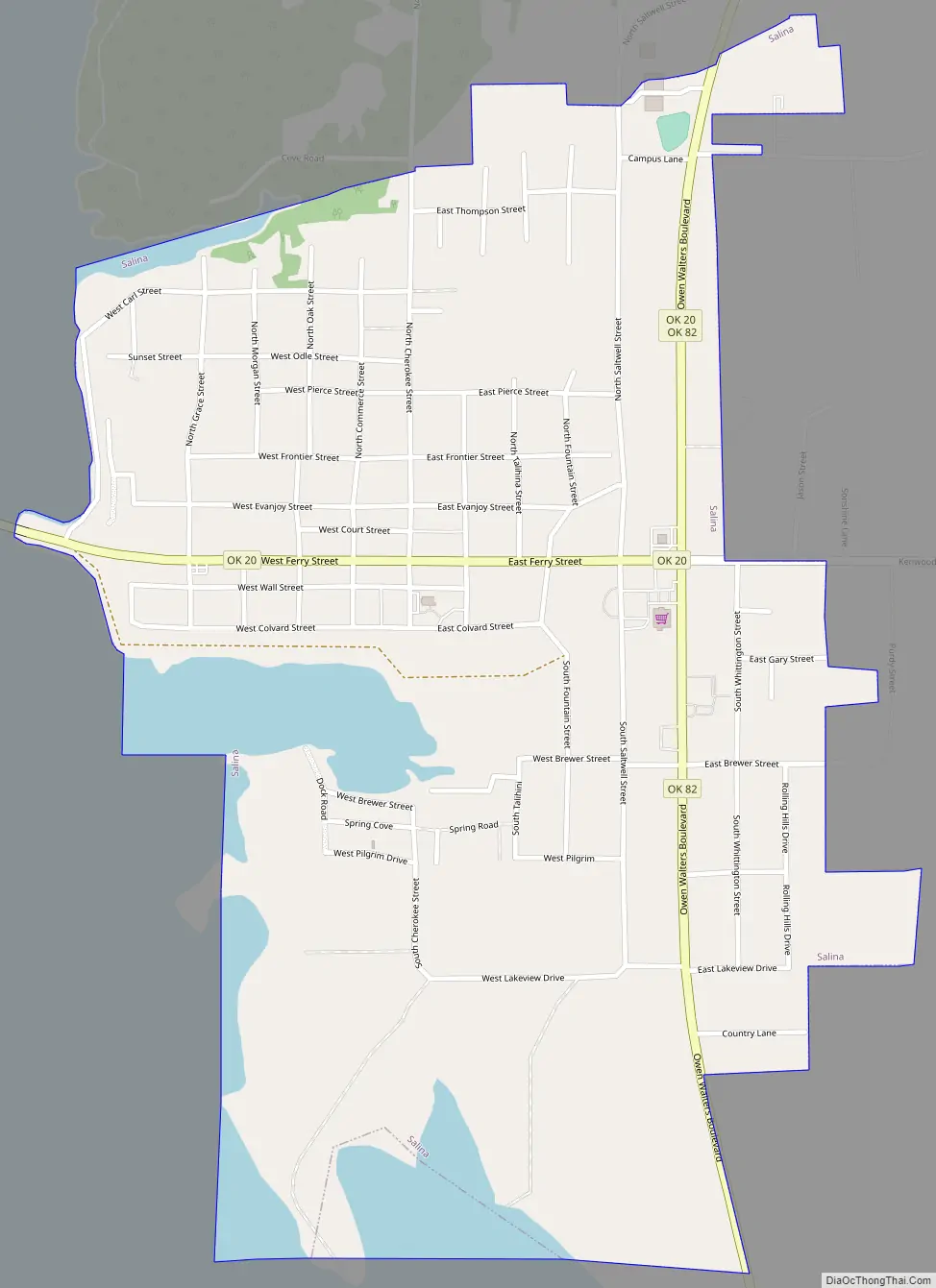
Salina Road Map
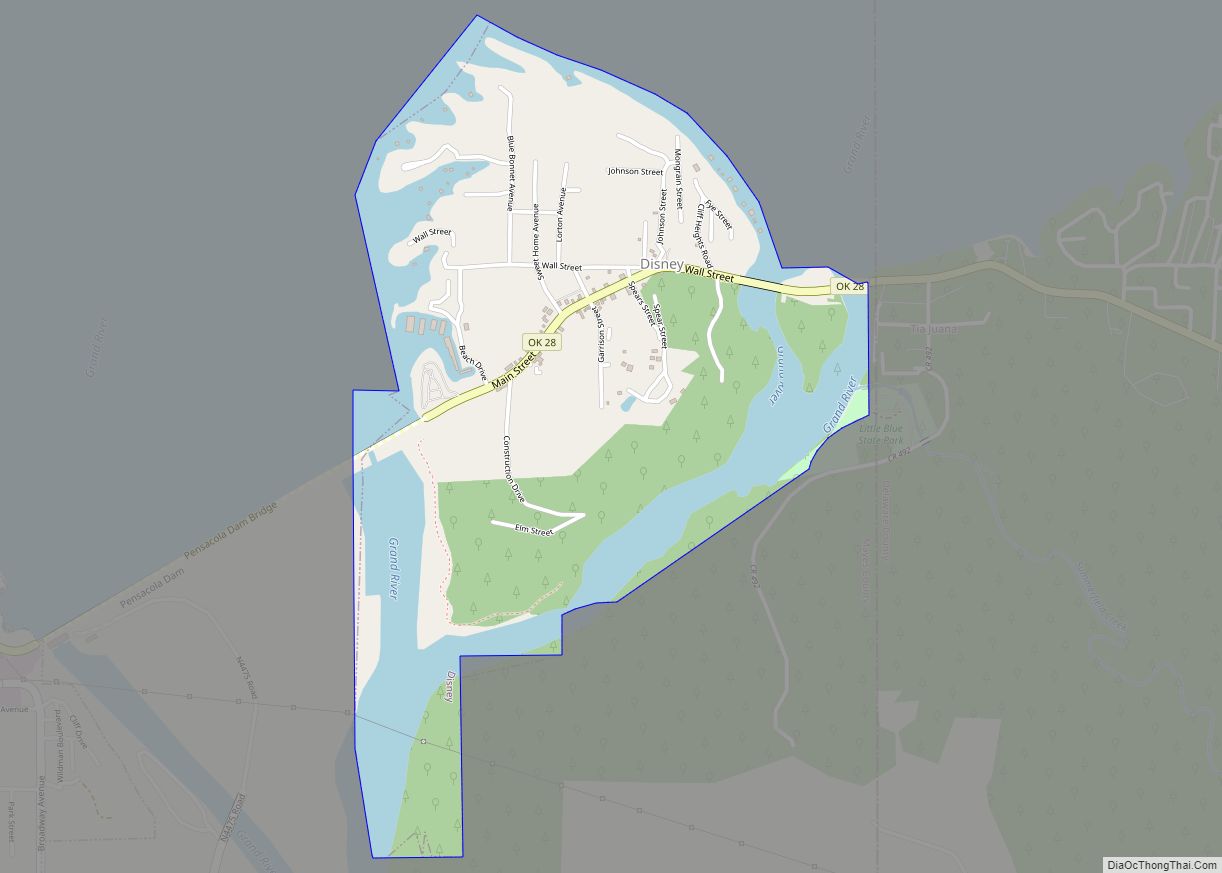
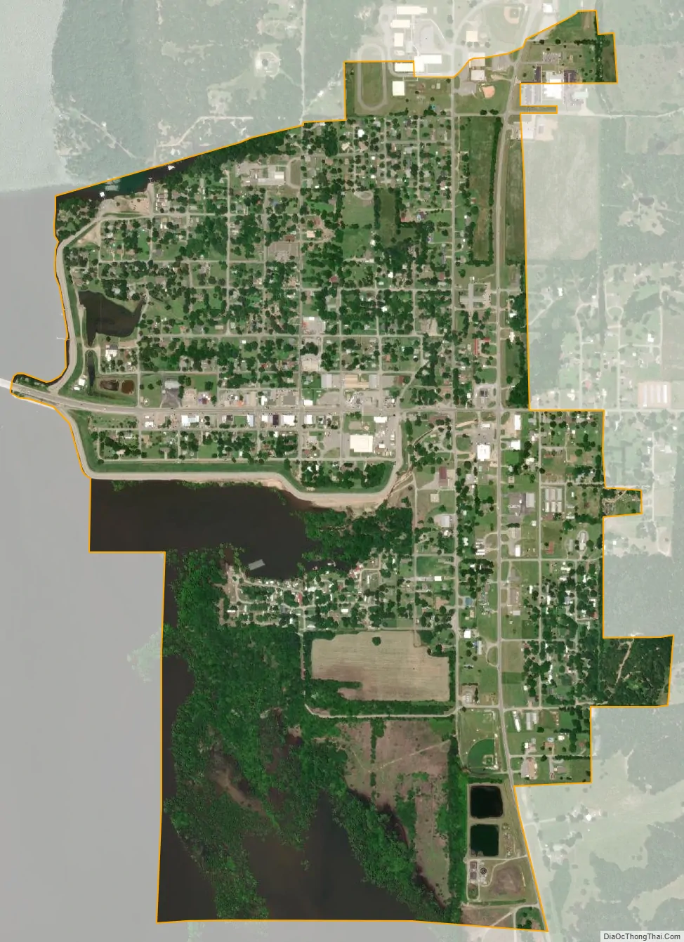
Salina city Satellite Map
Geography
Salina is located at 36°17′33″N 95°9′9″W / 36.29250°N 95.15250°W / 36.29250; -95.15250 (36.292576, -95.152608). The town is situated on the eastern shore of Lake Hudson, formed by the impoundment of the Grand River.
According to the United States Census Bureau, the town has a total area of 1.1 square miles (2.8 km), of which 1.0 square mile (2.6 km) is land and 0.1 square miles (0.26 km) (8.04%) is water.
See also
Map of Oklahoma State and its subdivision:- Adair
- Alfalfa
- Atoka
- Beaver
- Beckham
- Blaine
- Bryan
- Caddo
- Canadian
- Carter
- Cherokee
- Choctaw
- Cimarron
- Cleveland
- Coal
- Comanche
- Cotton
- Craig
- Creek
- Custer
- Delaware
- Dewey
- Ellis
- Garfield
- Garvin
- Grady
- Grant
- Greer
- Harmon
- Harper
- Haskell
- Hughes
- Jackson
- Jefferson
- Johnston
- Kay
- Kingfisher
- Kiowa
- Latimer
- Le Flore
- Lincoln
- Logan
- Love
- Major
- Marshall
- Mayes
- McClain
- McCurtain
- McIntosh
- Murray
- Muskogee
- Noble
- Nowata
- Okfuskee
- Oklahoma
- Okmulgee
- Osage
- Ottawa
- Pawnee
- Payne
- Pittsburg
- Pontotoc
- Pottawatomie
- Pushmataha
- Roger Mills
- Rogers
- Seminole
- Sequoyah
- Stephens
- Texas
- Tillman
- Tulsa
- Wagoner
- Washington
- Washita
- Woods
- Woodward
- Alabama
- Alaska
- Arizona
- Arkansas
- California
- Colorado
- Connecticut
- Delaware
- District of Columbia
- Florida
- Georgia
- Hawaii
- Idaho
- Illinois
- Indiana
- Iowa
- Kansas
- Kentucky
- Louisiana
- Maine
- Maryland
- Massachusetts
- Michigan
- Minnesota
- Mississippi
- Missouri
- Montana
- Nebraska
- Nevada
- New Hampshire
- New Jersey
- New Mexico
- New York
- North Carolina
- North Dakota
- Ohio
- Oklahoma
- Oregon
- Pennsylvania
- Rhode Island
- South Carolina
- South Dakota
- Tennessee
- Texas
- Utah
- Vermont
- Virginia
- Washington
- West Virginia
- Wisconsin
- Wyoming