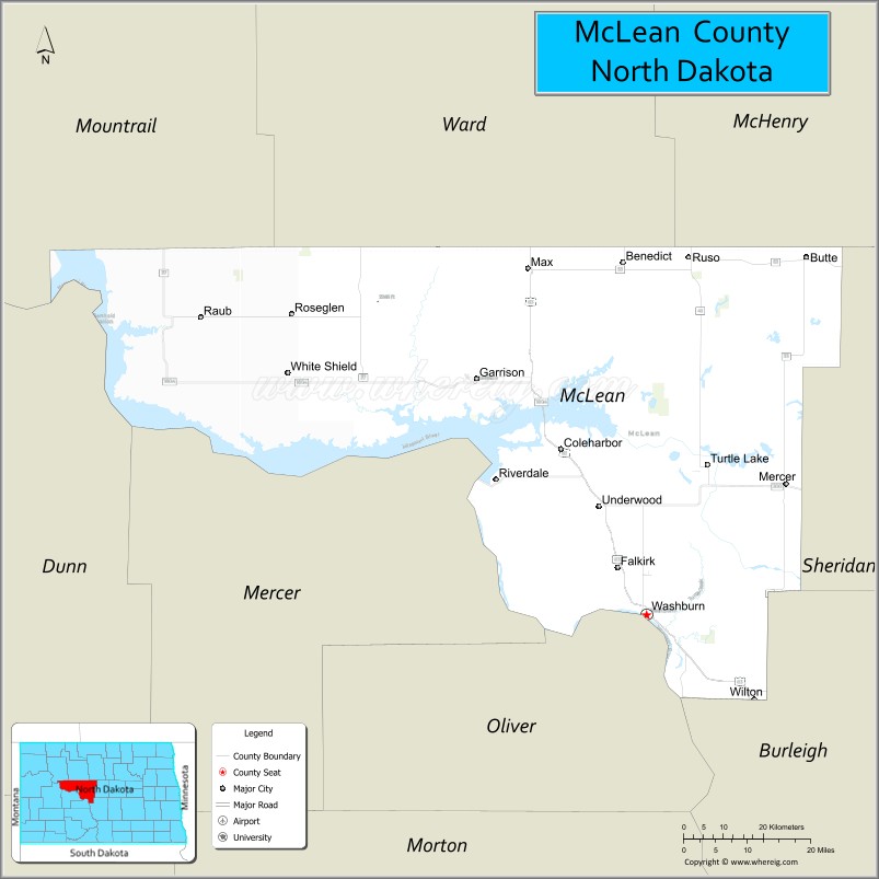
McLean County (/məˈkleɪn/ mə-KLAYN) is a county in the U.S. state of North Dakota. As of the 2020 census, the population was 9,771. Its county seat is Washburn.
| Name: | McLean County |
|---|---|
| FIPS code: | 38-055 |
| State: | North Dakota |
| Founded: | 1883 |
| Named for: | John A. McLean |
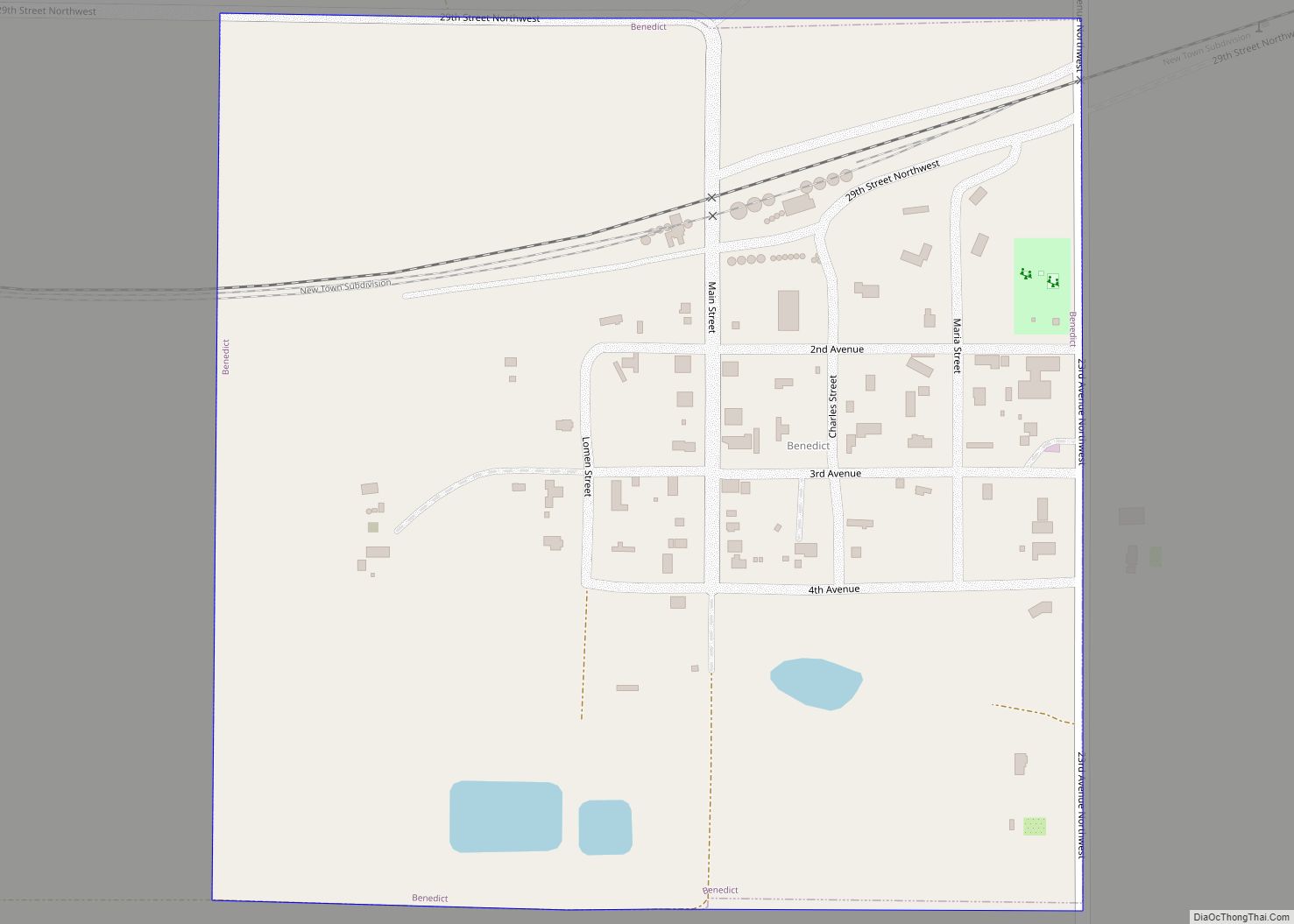
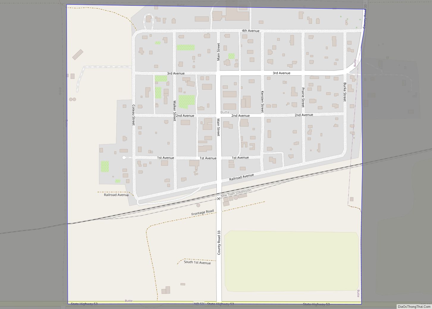
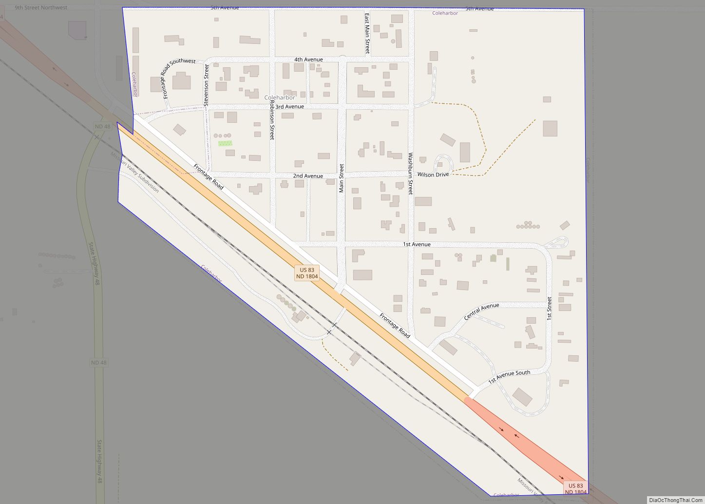
| Seat: | Washburn |
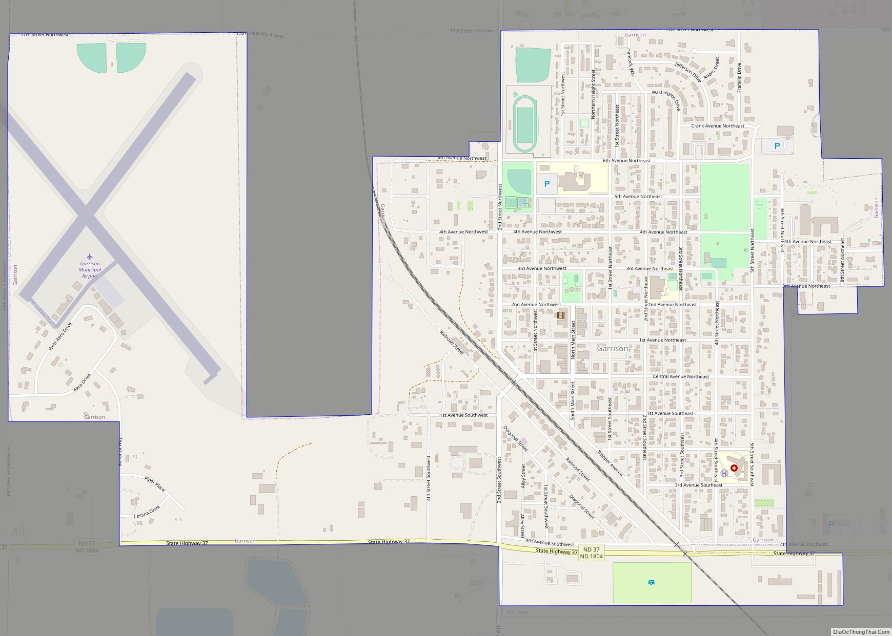
| Largest city: | Garrison |
| Total Area: | 2,328 sq mi (6,030 km²) |
| Land Area: | 2,111 sq mi (5,470 km²) |
| Total Population: | 9,771 |
| Population Density: | 4.2/sq mi (1.6/km²) |
| Time zone: | UTC−6 (Central) |
| Summer Time Zone (DST): | UTC−5 (CDT) |
| Website: | www.mcleancountynd.gov |
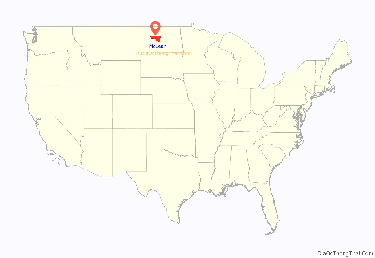
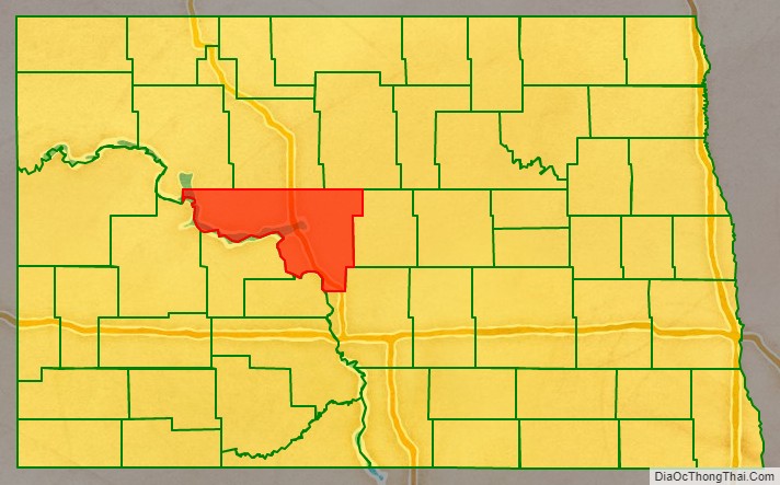
McLean County location map. Where is McLean County?
History
The Dakota Territory legislature created the county on March 8, 1883, with areas partitioned from Burleigh, Sheridan, and (now-extinct) Stevens counties. The county was named for John A. McLean, the first mayor of Bismarck. The county organization was completed on November 1 of that year. Its boundaries were altered in 1885, in 1892, and in 1908. It has retained its current configuration since November 3, 1908, when a portion of its previous territory was partitioned to recreate Sheridan County (Sheridan had been dissolved on November 8, 1892, with its territory annexed to McLean).
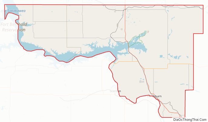
McLean County Road Map
Geography
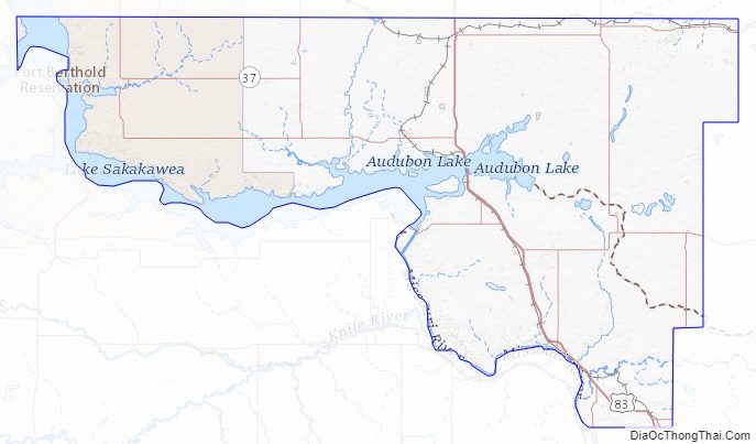
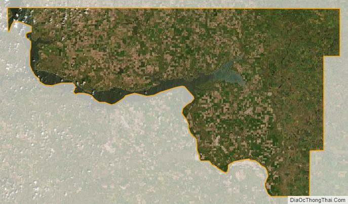
The county’s western boundary is delineated by Lake Sakakawea, created in 1956 by construction of Garrison Dam at the county’s southwestern edge. The southwestern boundary of the county is delineated by the Missouri River as it continues its southeastward flow from the lake. The county terrain consists of rolling hills, dotted with lakes and ponds in its eastern portion. The area is largely devoted to agriculture. The terrain slopes to the south and east, with its highest point on the north boundary line near its NW corner, at 2,201′ (671m) ASL. The county has a total area of 2,328 square miles (6,030 km), of which 2,111 square miles (5,470 km) is land and 217 square miles (560 km) (9.3%) is water. It is the third-largest county in North Dakota by land area and second-largest by total area.
Major highways
- U.S. Highway 83
- North Dakota Highway 28
- North Dakota Highway 37
- North Dakota Highway 53
- North Dakota Highway 41
- North Dakota Highway 200
- North Dakota Highway 1804
Adjacent counties
- Ward County – north
- McHenry County – northeast
- Sheridan County – east
- Burleigh County – southeast
- Oliver County – south
- Mercer County – southwest
- Dunn County – west
- Mountrail County – northwest
Protected areas
- Audubon National Wildlife Refuge
- Camp Lake National Wildlife Refuge
- De Trobriand State Game Management Area
- Douglas Creek Public Use Area
- Hiddenwood National Wildlife Refuge
- Lake Nettie National Wildlife Refuge
- Lake Otis National Wildlife Refuge
- Lake Susie National Wildlife Refuge
- Lost Lake National Wildlife Refuge
- McLean National Wildlife Refuge
- Riverdale State Game Management Area
- Totten Trail Park
- Wilton Mine State Game Management Area (part)
Lakes
- Blackwater Lake
- Blue Lake
- Brumwell Slough
- Camp Lake
- Cherry Lake (part)
- Cottonwood Lake
- Crooked Lake
- Lake Audubon
- Lake Brekken
- Lake Holmes
- Lake Margaret
- Lake Nettie
- Lake Ordway
- Lake Williams
- Lost Lake
- Minehan Slough
- Nelson Lake
- Otis Lake
- Painted Woods Lake
- Pelican Lake
- Peterson Lake
- Postel Lake (part)
- Strawberry Lake
- Turtle Lake
- Wildwood Lake
- Yanktonal Lake
McLean County Topographic Map
McLean County Satellite Map
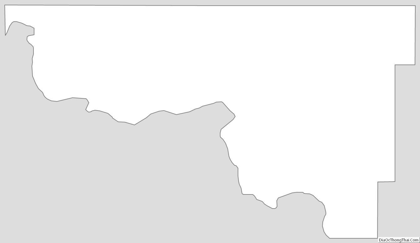
McLean County Outline Map