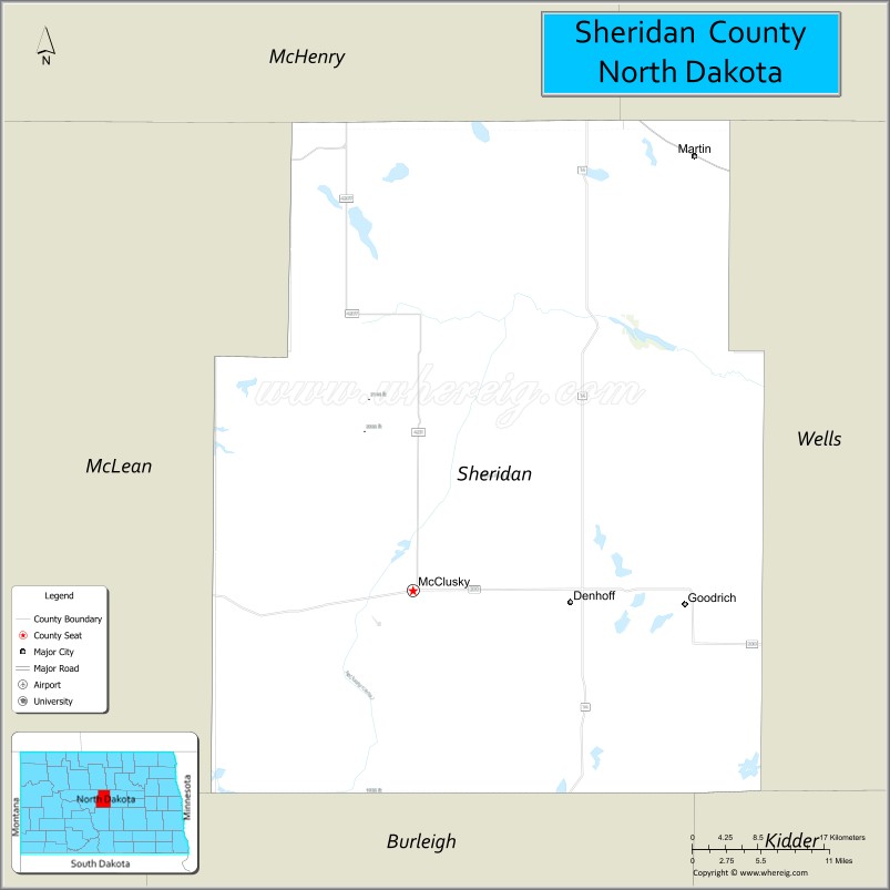
Sheridan County is a county located in the U.S. state of North Dakota. As of the 2020 census, the population was 1,265, making it the third-least populous county in North Dakota. Its county seat is McClusky.
| Name: | Sheridan County |
|---|---|
| FIPS code: | 38-083 |
| State: | North Dakota |
| Founded: | 1873 |
| Named for: | Philip Henry Sheridan |
| Seat: | McClusky |
| Largest city: | McClusky |
| Total Area: | 1,006 sq mi (2,610 km²) |
| Land Area: | 972 sq mi (2,520 km²) |
| Total Population: | 1,265 |
| Population Density: | 1.3/sq mi (0.49/km²) |
| Time zone: | UTC−6 (Central) |
| Summer Time Zone (DST): | UTC−5 (CDT) |
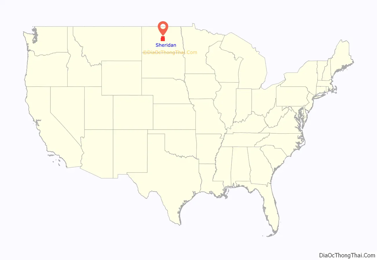
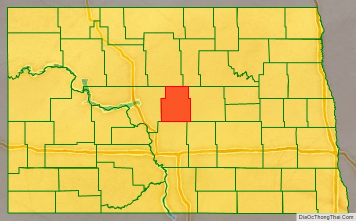
Sheridan County location map. Where is Sheridan County?
History
The Dakota Territory legislature created the county on January 4, 1873, naming it for Civil War General Philip Henry Sheridan. The county organization was not completed at that time, but the new county was not attached to another county for administrative or judicial purposes. In 1883 and again in 1887, the county boundaries were reduced, and on November 8, 1892, the county was dissolved, its remaining territory assigned to McLean. This lasted until the November 3, 1908 election, when McLean County voters chose to partition off the eastern portion of that unit into a new county, although the new boundaries were somewhat different from the former Sheridan. The new county government was effected on December 24 of that year.
Sheridan has been severely affected by out-migration; its population collapsed from 7,373 in 1930 to 1,321 by 2010. Its population decline of 38.4% from 1990 to 2016 was the highest among all North Dakota counties.
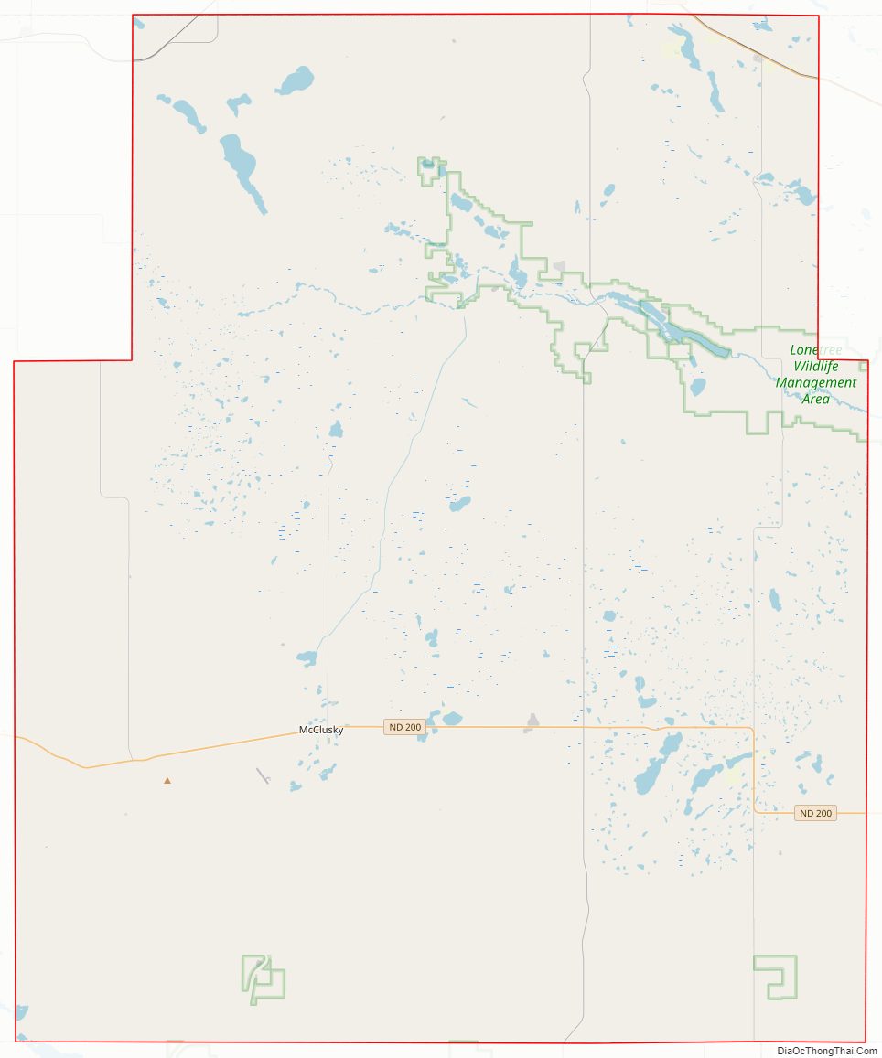
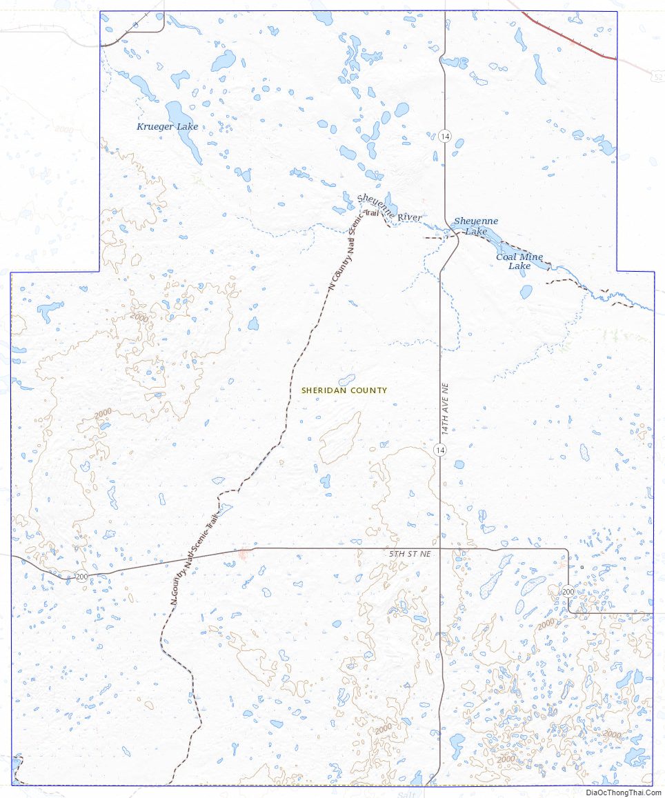
Sheridan County Road Map
Geography
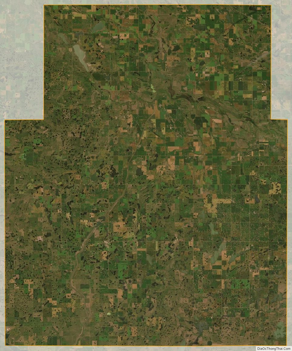
The terrain of Sheridan County consists of dry rolling hills, dotted with lakes and ponds. The area is largely devoted to agriculture. The terrain slopes to the north and east, with its highest point on the eastern part of its southern boundary at 2,034′ (620m) ASL. The county has a total area of 1,006 square miles (2,610 km), of which 972 square miles (2,520 km) is land and 33 square miles (85 km) (3.3%) is water.
Major highways
- U.S. Highway 52
- North Dakota Highway 14
- North Dakota Highway 53
- North Dakota Highway 200
Adjacent counties
- McHenry County – north
- Pierce County – northeast
- Wells County – east
- Kidder County – southeast
- Burleigh County – south
- McLean County – west
National protected area
- Sheyenne Lake National Wildlife Refuge
Lakes
- Bentz Lake
- Cherry Lake
- Coal Mine Lake
- Ebel Lake
- Guyes Lake
- Heckers Lake
- Kandt Lake
- Krueger Lake
- Lake Richard (part)
- Lone Tree Lake
- Moesner Lake
- Pelican Lake (part)
- Postel Lake
- Salt Lake (part)
- Sand Lake
- Sheyenne Lake
Sheridan County Topographic Map
Sheridan County Satellite Map
Sheridan County Outline Map


