Washburn is a city in southern McLean County, North Dakota, United States. Located along the upper Missouri River, it is the county seat of McLean County. The population was 1,300 at the 2020 census.
Washburn was founded in 1882 near the former site of Fort Mandan, winter quarters of the Lewis and Clark Expedition in 1804-1805, near a Mandan village. The town was designated as the county seat in 1883. The city’s name honors General Cadwallader C. Washburn.
Washburn is home to the North Dakota Lewis and Clark Interpretive Center, which focuses on the Expedition’s winter near the Mandan village. It houses a full-scale replica of Fort Mandan, which workers of the expedition built as their base, and one of the expedition’s canoes.
| Name: | Washburn city |
|---|---|
| LSAD Code: | 25 |
| LSAD Description: | city (suffix) |
| State: | North Dakota |
| County: | McLean County |
| Founded: | 1882 |
| Elevation: | 1,755 ft (535 m) |
| Total Area: | 1.79 sq mi (4.63 km²) |
| Land Area: | 1.69 sq mi (4.36 km²) |
| Water Area: | 0.10 sq mi (0.27 km²) |
| Total Population: | 1,300 |
| Population Density: | 771.51/sq mi (297.96/km²) |
| ZIP code: | 58577 |
| Area code: | 701 |
| FIPS code: | 3883700 |
| GNISfeature ID: | 1032690 |
| Website: | washburnnd.com |
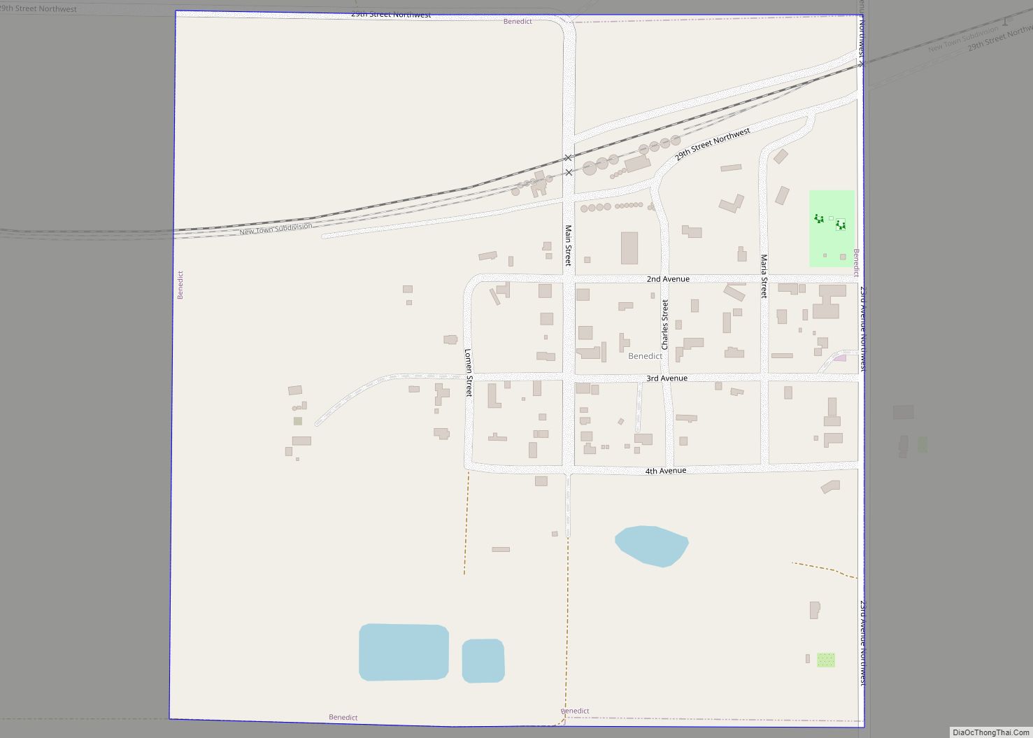
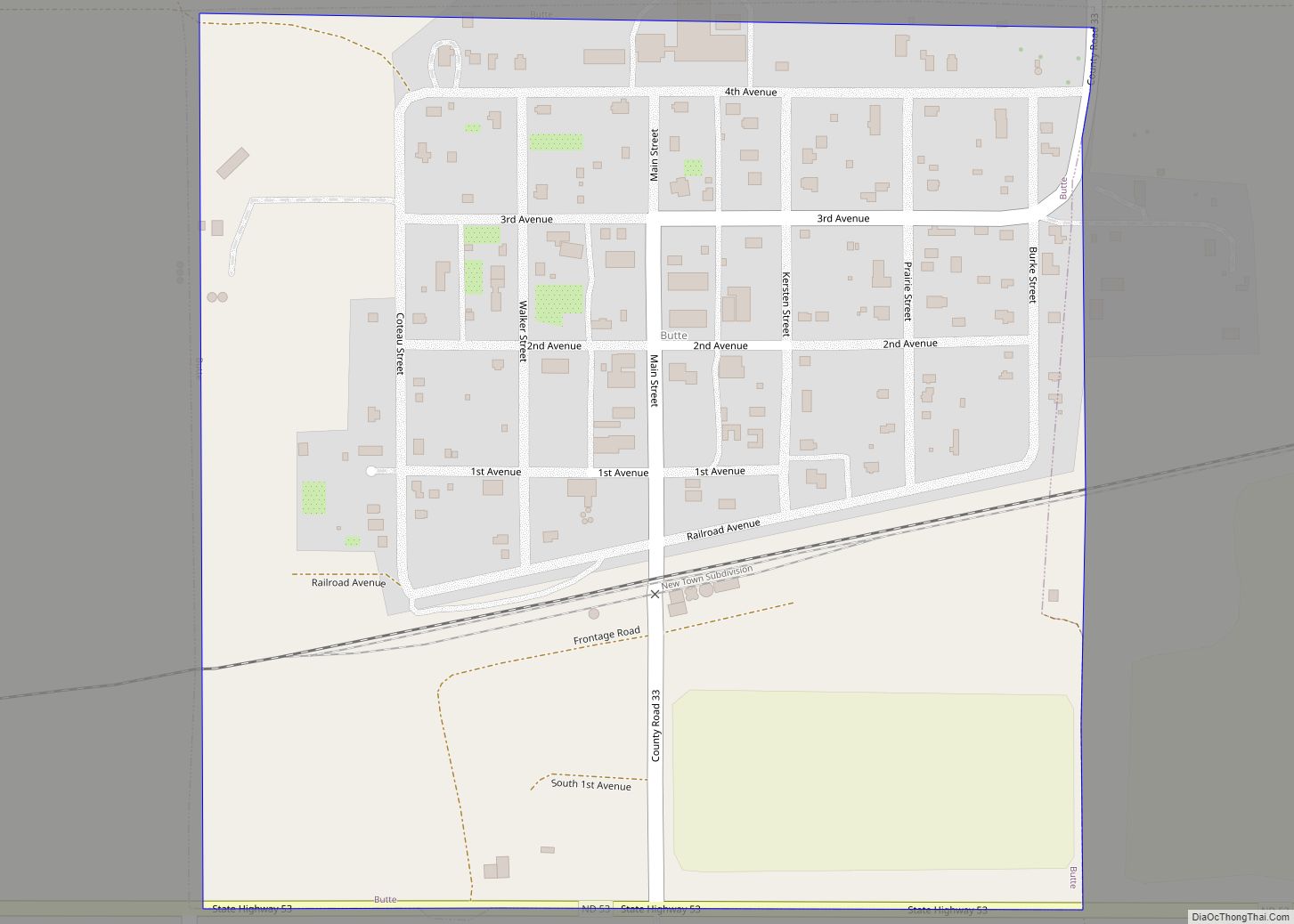
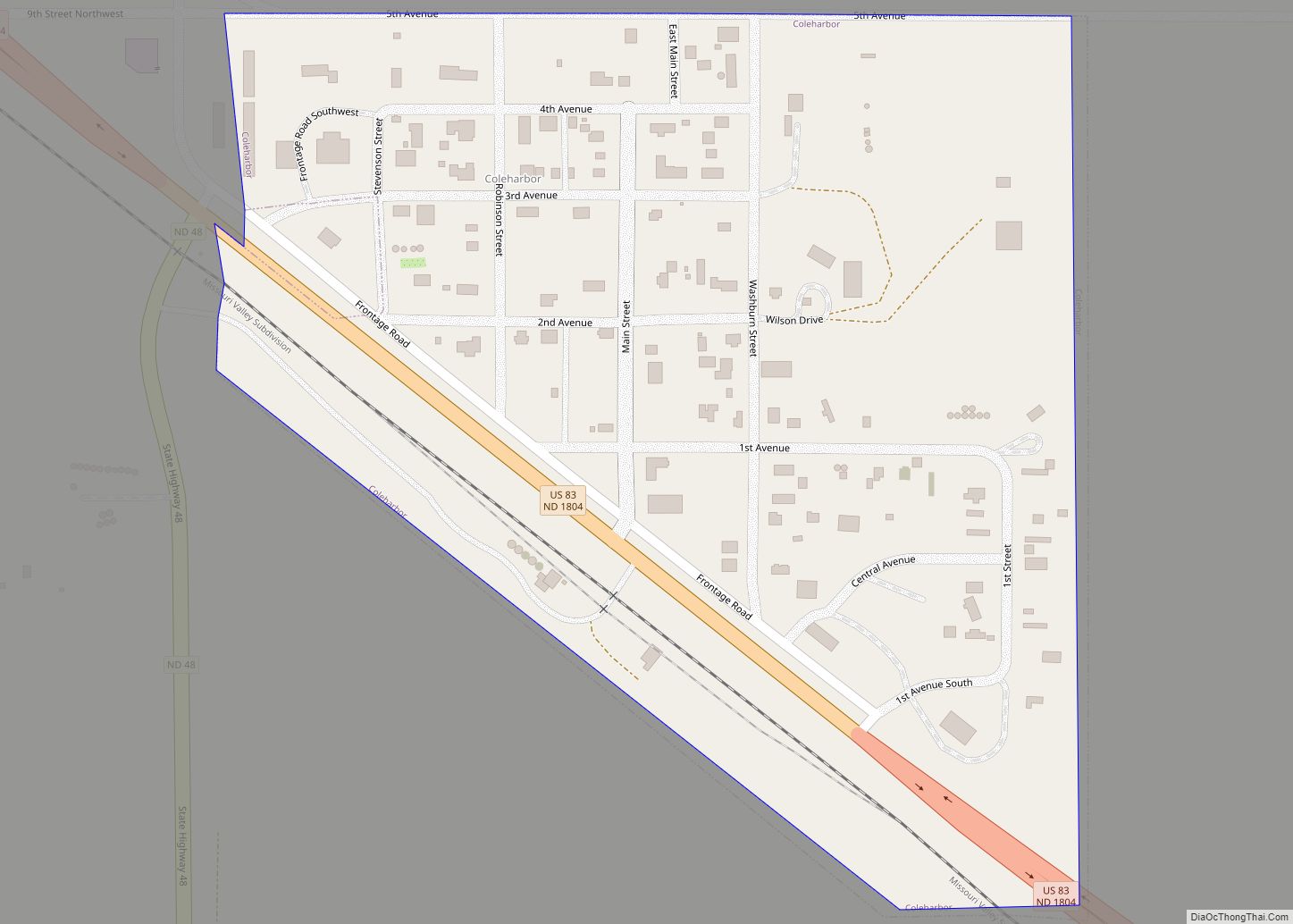
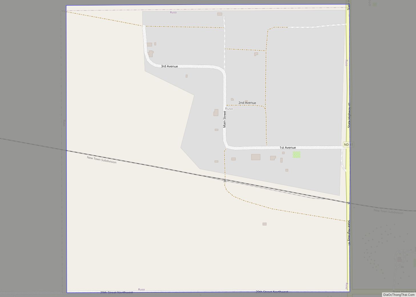
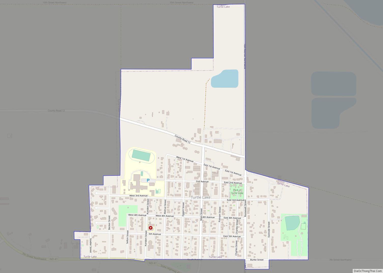
Online Interactive Map
Click on ![]() to view map in "full screen" mode.
to view map in "full screen" mode.
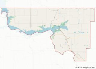
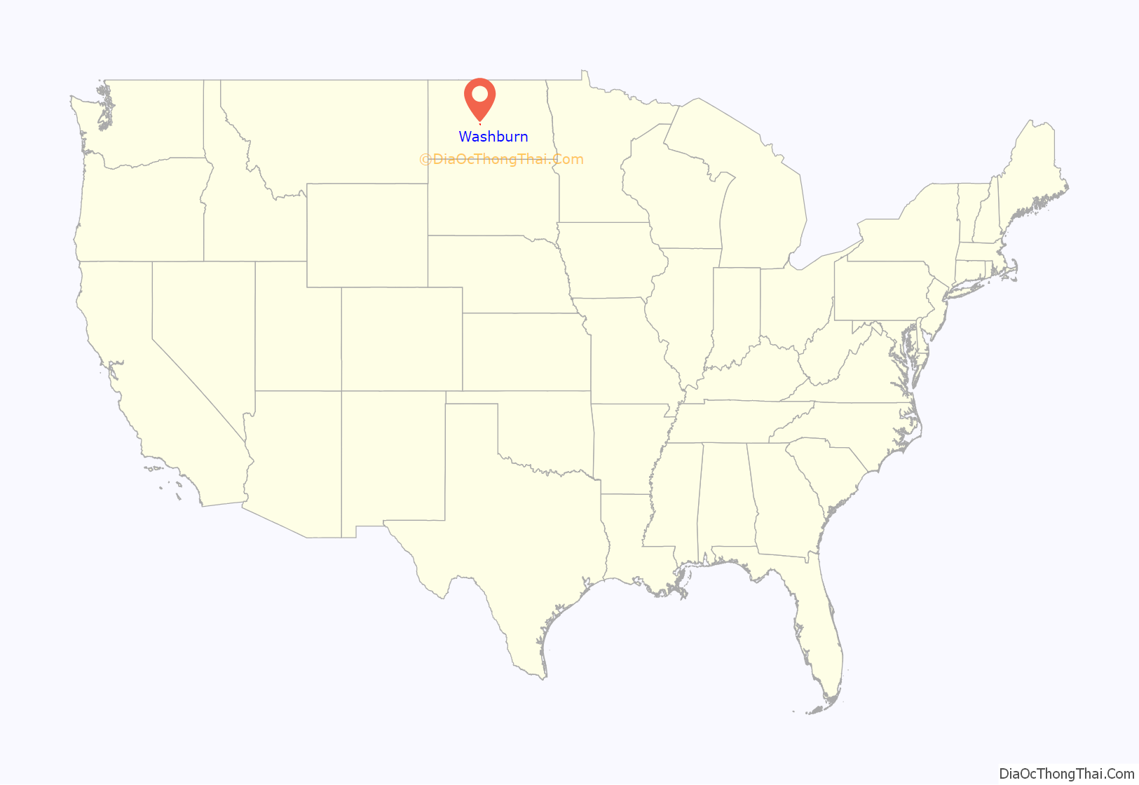
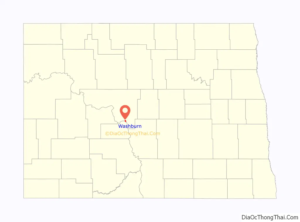
Washburn location map. Where is Washburn city?
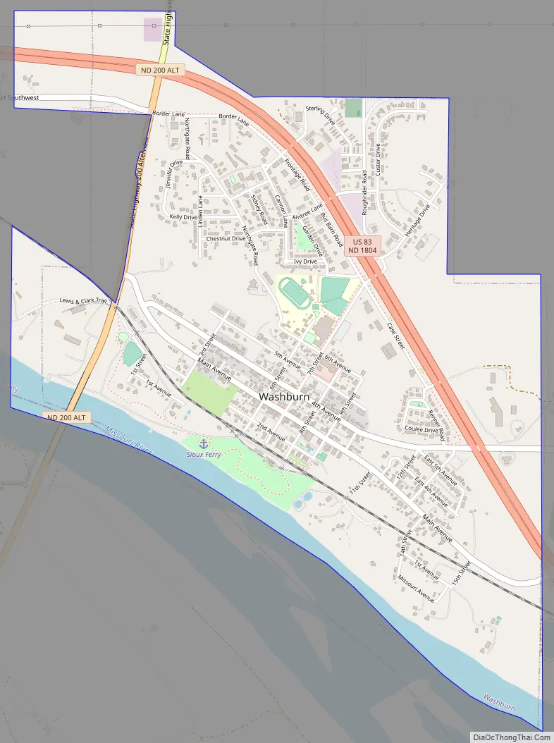
Washburn Road Map
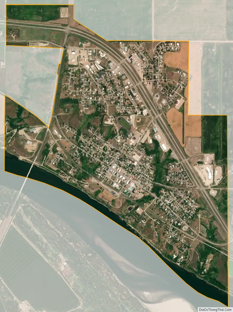
Washburn city Satellite Map
Geography
Washburn is located at 47°17′29″N 101°1′40″W / 47.29139°N 101.02778°W / 47.29139; -101.02778 (47.291313, −101.027647).
According to the United States Census Bureau, the city has a total area of 1.89 square miles (4.90 km), of which 1.80 square miles (4.66 km) is land and 0.09 square miles (0.23 km) is water.
See also
Map of North Dakota State and its subdivision:- Adams
- Barnes
- Benson
- Billings
- Bottineau
- Bowman
- Burke
- Burleigh
- Cass
- Cavalier
- Dickey
- Divide
- Dunn
- Eddy
- Emmons
- Foster
- Golden Valley
- Grand Forks
- Grant
- Griggs
- Hettinger
- Kidder
- Lamoure
- Logan
- McHenry
- McIntosh
- McKenzie
- McLean
- Mercer
- Morton
- Mountrail
- Nelson
- Oliver
- Pembina
- Pierce
- Ramsey
- Ransom
- Renville
- Richland
- Rolette
- Sargent
- Sheridan
- Sioux
- Slope
- Stark
- Steele
- Stutsman
- Towner
- Traill
- Walsh
- Ward
- Wells
- Williams
- Alabama
- Alaska
- Arizona
- Arkansas
- California
- Colorado
- Connecticut
- Delaware
- District of Columbia
- Florida
- Georgia
- Hawaii
- Idaho
- Illinois
- Indiana
- Iowa
- Kansas
- Kentucky
- Louisiana
- Maine
- Maryland
- Massachusetts
- Michigan
- Minnesota
- Mississippi
- Missouri
- Montana
- Nebraska
- Nevada
- New Hampshire
- New Jersey
- New Mexico
- New York
- North Carolina
- North Dakota
- Ohio
- Oklahoma
- Oregon
- Pennsylvania
- Rhode Island
- South Carolina
- South Dakota
- Tennessee
- Texas
- Utah
- Vermont
- Virginia
- Washington
- West Virginia
- Wisconsin
- Wyoming