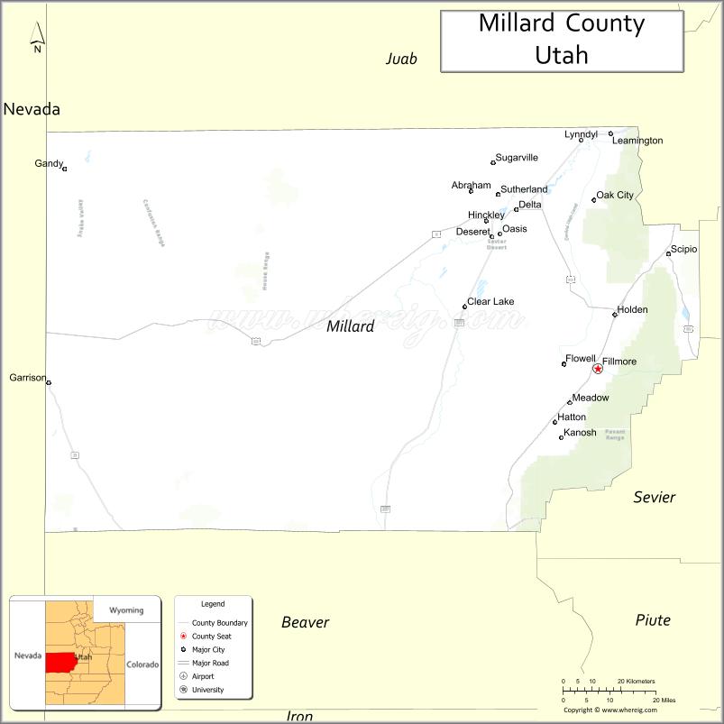
Millard County (/ˈmɪlərd/ MIL-ərd) is a county in the U.S. state of Utah. As of the 2010 United States Census, the population was 12,503. Its county seat is Fillmore, and the largest city is Delta.
| Name: | Millard County |
|---|---|
| FIPS code: | 49-027 |
| State: | Utah |
| Founded: | October 4, 1851 |
| Named for: | Millard Fillmore |
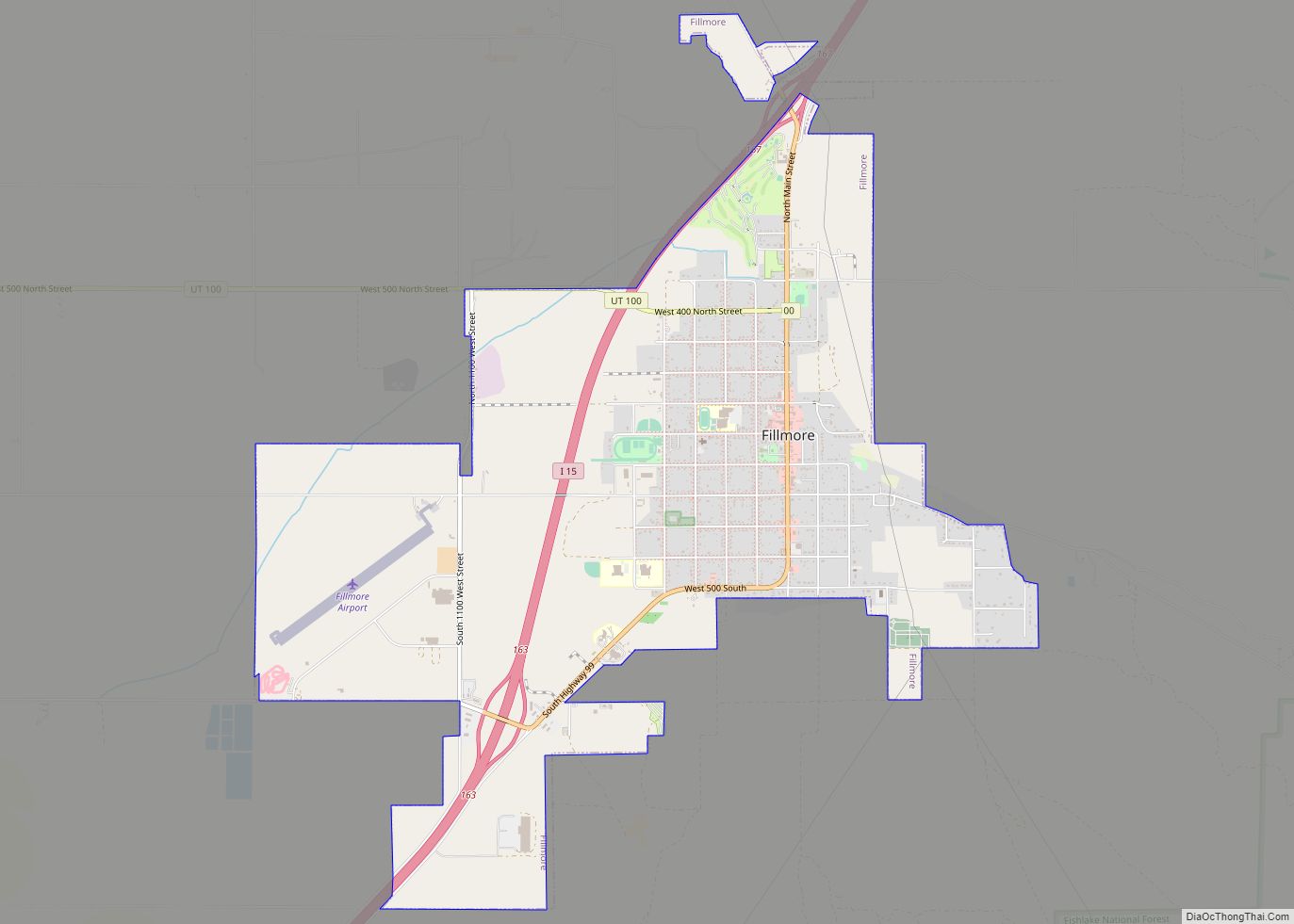
| Seat: | Fillmore |
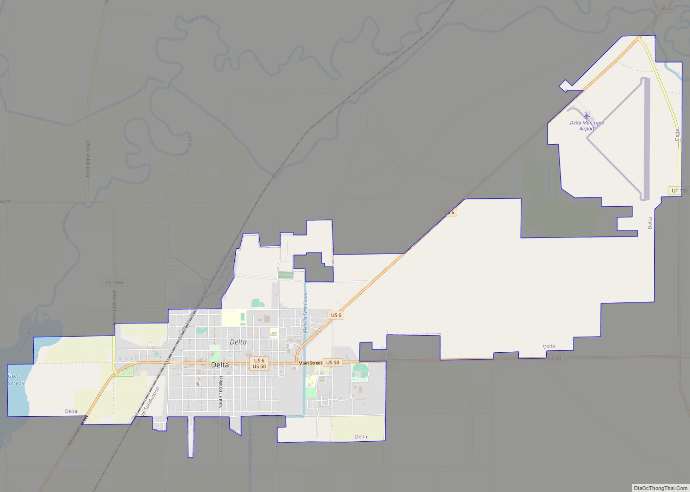
| Largest city: | Delta |
| Total Area: | 6,828 sq mi (17,680 km²) |
| Land Area: | 6,572 sq mi (17,020 km²) |
| Total Population: | 12,975 |
| Population Density: | 1.9/sq mi (0.73/km²) |
| Time zone: | UTC−7 (Mountain) |
| Summer Time Zone (DST): | UTC−6 (MDT) |
| Website: | www.millardcounty.org |
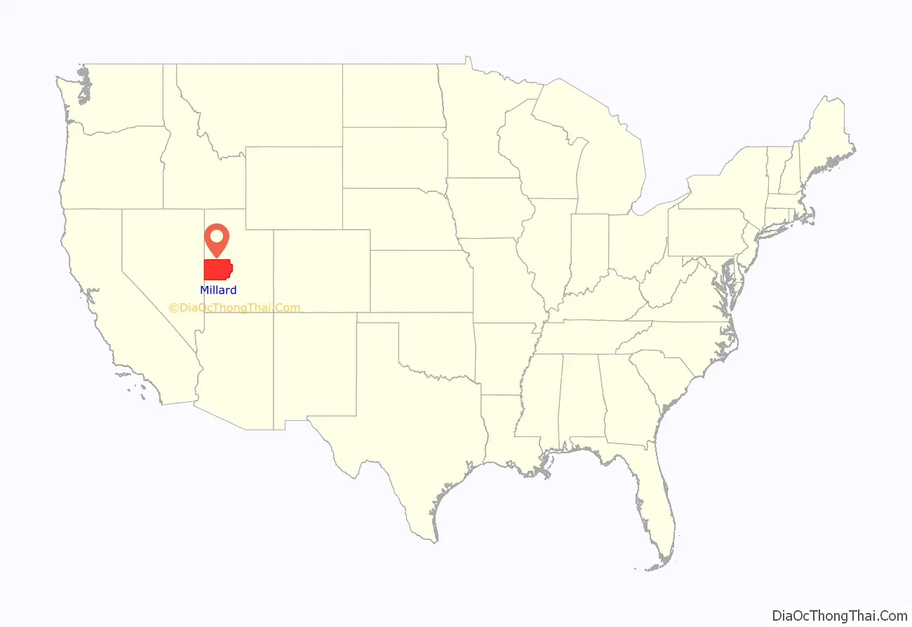
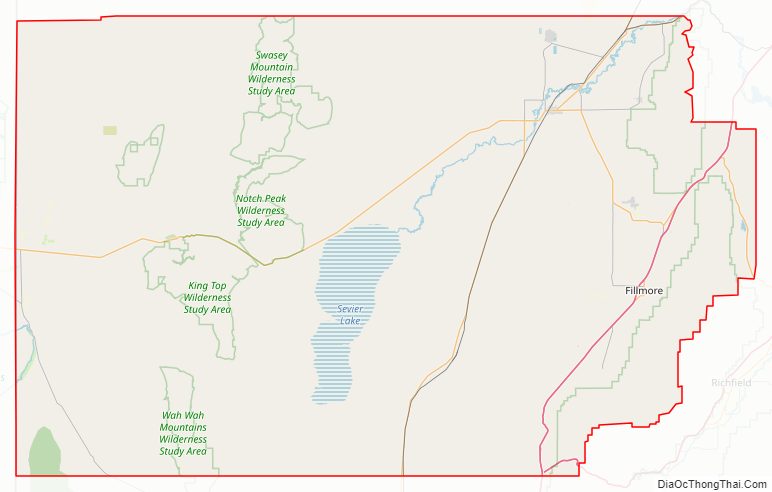
Millard County location map. Where is Millard County?
History
The Utah Territory legislature created the county on October 4, 1851, with territory not previously covered by county creations and including some area in the future state of Nevada. It was named for the thirteenth US President Millard Fillmore, who was in office then. Fillmore was designated as the county seat. The county boundaries were altered in 1852 and again in 1854. On March 2, 1861, the US government created the Nevada Territory, which effectively de-annexed the described portion of Millard County falling in that Territorial Proclamation. The county boundary was further altered in 1862, 1866, 1888, and in 1919. In 1921 a boundary adjustment with Sevier brought Millard to its present configuration.
Fillmore, located near the geographic center of the territory, was originally built as the capital of Utah Territory. The Utah Territorial Legislature approved a plan to locate the capital in the Pahvant Valley. On October 28, 1851, Utah Governor Brigham Young traveled to the valley and chose the specific site for Fillmore. The town was surveyed that same day. A colonizing company soon followed; they built houses, a grist mill, and a sawmill. Construction of the Territorial Statehouse was initiated in 1852. The Territorial legislature met in Fillmore for the first (and only time) in 1855. The following year they voted to keep the capital in Great Salt Lake City.
Millard County Road Map
Geography
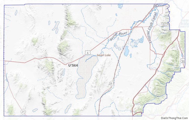
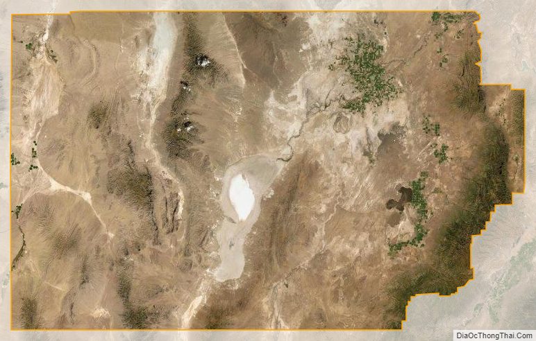
Millard County lies on the west side of Utah. Its west border abuts the east border of the state of Nevada. The county terrain consists of arid, rough undulating flatlands interrupted by numerous hills and mountain ridges. The highest point in the county is Mine Camp Peak in the Central Utah Plateaus, at 10,222 feet (3,116 m) ASL. The county has a total area of 6,828 square miles (17,680 km), of which 6,572 square miles (17,020 km) is land and 255 square miles (660 km) (3.7%) is water. It is the third-largest county in Utah by area.
The Sevier Desert covers much of Millard County, being the seafloor of ancient Lake Bonneville. Sevier Lake, a mostly dry remnant of Lake Bonneville, is in central Millard County. The Pahvant Mountains form the county’s eastern boundary. Fillmore and other farming communities lie at the base of the Pahvant Mountains. Delta sits several miles from the banks of the Sevier River in the middle of the basin.
Major highways
- Interstate 15
- Interstate 70
- US 6
- US 50
- Utah State U-21
- Utah State U-100
- Utah State U-125
- Utah State U-132
- Utah State U-133
- Utah State U-136
- Utah State U-257
Adjacent counties
- Juab County – north
- Sanpete County – northeast
- Sevier County – southeast
- Beaver County – south
- Lincoln County, Nevada – southwest
- White Pine County, Nevada – west
Protected areas
- Circus Hollow Wildlife Management Area
- Clear Lake Waterfowl Management Area
- Fishlake National Forest (part)
- Halfway Hill Wildlife Management Area
Lakes
- Abraham Reservoir
- Alexander Lake
- Antelope Spring (along Cove Creek)
- Antelope Spring Reservoir
- AT T Road Reservoir
- Beaver River Reservoir
- Big Drum Reservoir
- Big Sage Reservoir
- Bitterweed Lake
- Black Point Reservoir
- Black Spring
- Bloom Trail Reservoir
- Borden Basin Reservoir
- Burnt Tree Pond
- Carr Lake
- Cat Canyon Reservoir
- Cedar Pass Reservoir
- Chokecherry Reservoir
- Clay Knoll Reservoir
- Clear Lake
- Clear Spot Reservoirs
- Coates Reservoir
- Cockleburr Lake
- Confusion Hills Reservoir
- Conger Reservoir
- Construction Reservoir
- Coyote Spring (near Beaver River)
- Coyote Spring (Tule Valley)
- Crafts Lake
- Crater Reservoir
- Cricket Reservoir
- Cricket Reservoir Number 2
- D M A D Reservoir
- Danish Reservoir
- Deadman Reservoir
- Deep Lake
- Deseret Reservoirs
- Devils Kitchen Reservoir
- East Antelope Reservoir
- East Hardpan Reservoir
- East Tule Bench Reservoir
- Ecks Knoll Reservoir
- Fillmore Wash Reservoir
- Fool Creek Number Two Reservoir
- Fool Creek Reservoir Number 1
- Foote Reservoir
- Georges Reservoir
- Greener Reservoir
- Gunnison Bend Reservoir
- Halls Double Reservoir
- Hardpan Reservoir
- Headquarters Reservoir
- Highway Reservoir
- Hinckley Trail Reservoir
- Hodgsen Pond
- Hole-in-the-Rock Reservoir
- Horsetrap Reservoir
- Indian Queen Reservoir
- Indian Ranch
- Jackson Pond
- Jensen Spring
- Johnson Pond
- Lakeview Reservoir
- Lawson Cove Reservoir
- Little Drum Reservoir
- Long Ridge Reservoir
- Lower Clay Spring
- Madsen Reservoir
- Miller Canyon Reservoir
- Mormon Gap Reservoir
- Mud Flat Reservoir
- Mud Lake Spring
- Mud Springs
- Needle Hardpan Reservoir
- Needle Reservoir
- Neels Reservoir Number 2
- Nelson Reservoir Number 2
- Nielson Pond
- North Clay Knoll Reservoir
- North Knoll Spring
- Pine Pass Reservoir
- Pony Express Reservoir
- Preuss Lake
- Probst Pond
- Rain Lakes
- Red Rock Number 1 Reservoir
- Red Rock Number 2 Reservoir
- Robins Lake
- Ruths Pond
- Salt Lake
- Salt Marsh Lake
- Scipio Lake
- Sevier Lake
- Sevier Lake Reservoir
- Sevier Lake Reservoir Number 1
- Sevier Lake Reservoir Number 4
- Sevier Lake Reservoir Number 5
- Sevier Lake Reservoir Number 6
- Smelter Knolls Reservoir
- Snake Pass Reservoir
- Soap Hollow Reservoir
- Soap Wash Reservoir
- South Cedar Wash Reservoir
- South Horse Hollow Reservoir
- South Tule Spring
- Spring Lake
- Squidike Spring
- Stage Road Reservoir
- Steamboat Pass Reservoir
- Styler Reservoir
- Swan Lake
- Swan Lake Salt Marsh
- Swasey Hardpan Reservoir
- Swasey Reservoir Number 2
- Swasey Reservoir Number 3
- Swasey Reservoir Number 4
- Swasey Wash Reservoir
- Tamarack Reservoir
- The Lakes
- Thompson Knoll Reservoir
- Topaz Slough
- Tule Spring
- Twin Springs
- Warm Springs
- Watsons Cow Pond
- West Clay Knoll Reservoir
- West Marshall Tract Reservoir
- West Neels Reservoir
- Whirlwind Reservoir
- Willow Spring (near Tule Spring)
Great Stone Face
Pahvant Valley in Millard County has several ancient lava flows and extinct volcanoes, known as the Black Rock Desert volcanic field, including the “Black Rock” lava flow. About 17 miles (27 km) southwest of Delta, near Black Rock’s northwest perimeter is a feature named the “Great Stone Face”, which protrudes about four stories above the general elevation. Locals claim that this rock formation, when viewed at the correct angle, appears similar to a profile of Joseph Smith. At ground level, within view of the “Great Stone Face”, is a large, smooth-faced rock covered in Native American petroglyphs.
Notch Peak
Notch Peak is 50 miles (80 km) west of Delta. The skyline appears to have a notch taken out of it when viewed from Delta.
Little Sahara Sand Dunes
Little Sahara Recreation Area, 25 miles (40 km) north of Delta, is a popular area for ATV riders.
Millard County Topographic Map
Millard County Satellite Map
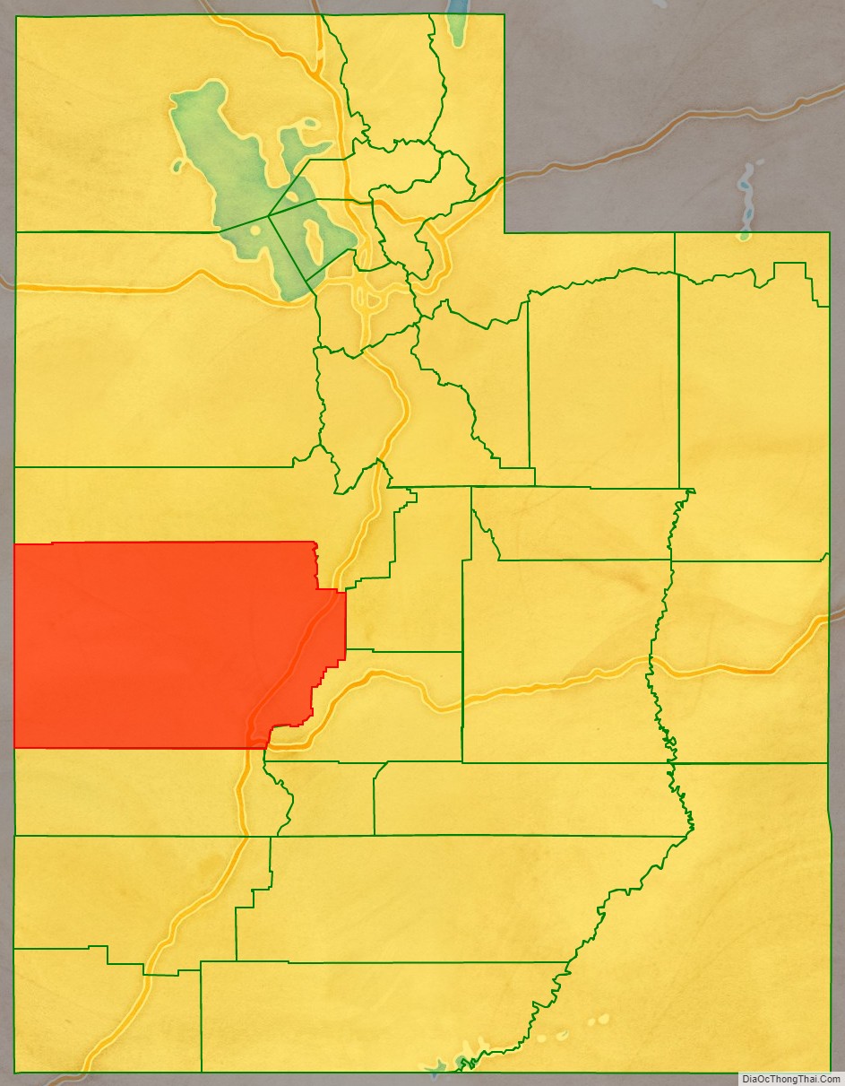
Millard County Outline Map