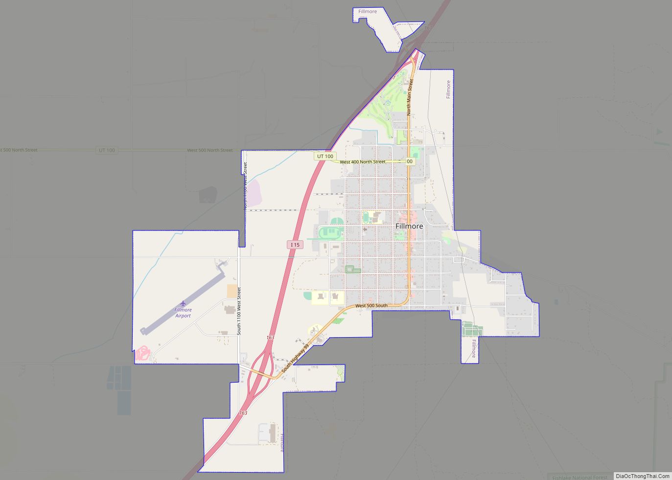
Fillmore is a city and the county seat of Millard County, Utah, United States. The population was 2,592 at the 2020 United States Census. It is named for the thirteenth US President Millard Fillmore, who was in office when Millard County was created by the Utah Territorial legislature.
Fillmore was the capital of the Utah Territory from 1851 to 1856, although the territorial legislature met in Fillmore only one term (1855). The original Utah Territorial Statehouse building still stands.
| Name: | Fillmore city |
|---|---|
| LSAD Code: | 25 |
| LSAD Description: | city (suffix) |
| State: | Utah |
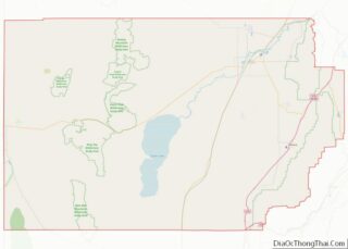
| County: | Millard County |
| Founded: | 1851 |
| Elevation: | 5,135 ft (1,565 m) |
| Total Area: | 6.97 sq mi (18.04 km²) |
| Land Area: | 6.97 sq mi (18.04 km²) |
| Water Area: | 0.00 sq mi (0.00 km²) |
| Total Population: | 2,592 |
| Population Density: | 371.88/sq mi (143.68/km²) |
| ZIP code: | 84631 |
| Area code: | 435 |
| FIPS code: | 4925510 |
| GNISfeature ID: | 1441039 |
| Website: | http://www.fillmorecity.org |
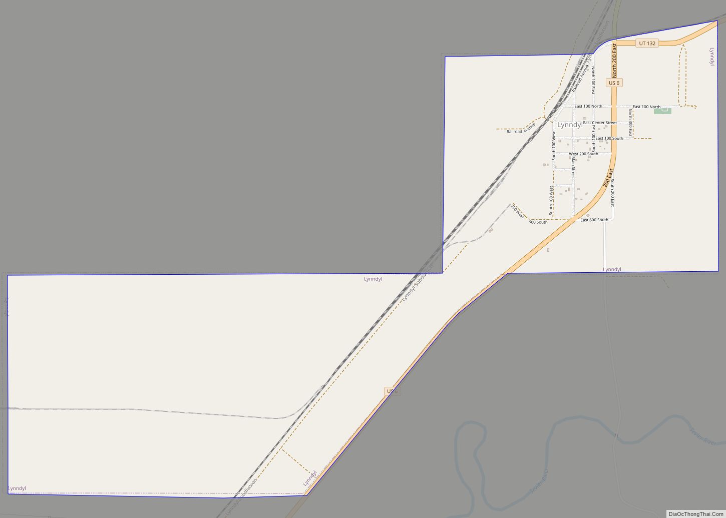
Online Interactive Map
Click on ![]() to view map in "full screen" mode.
to view map in "full screen" mode.
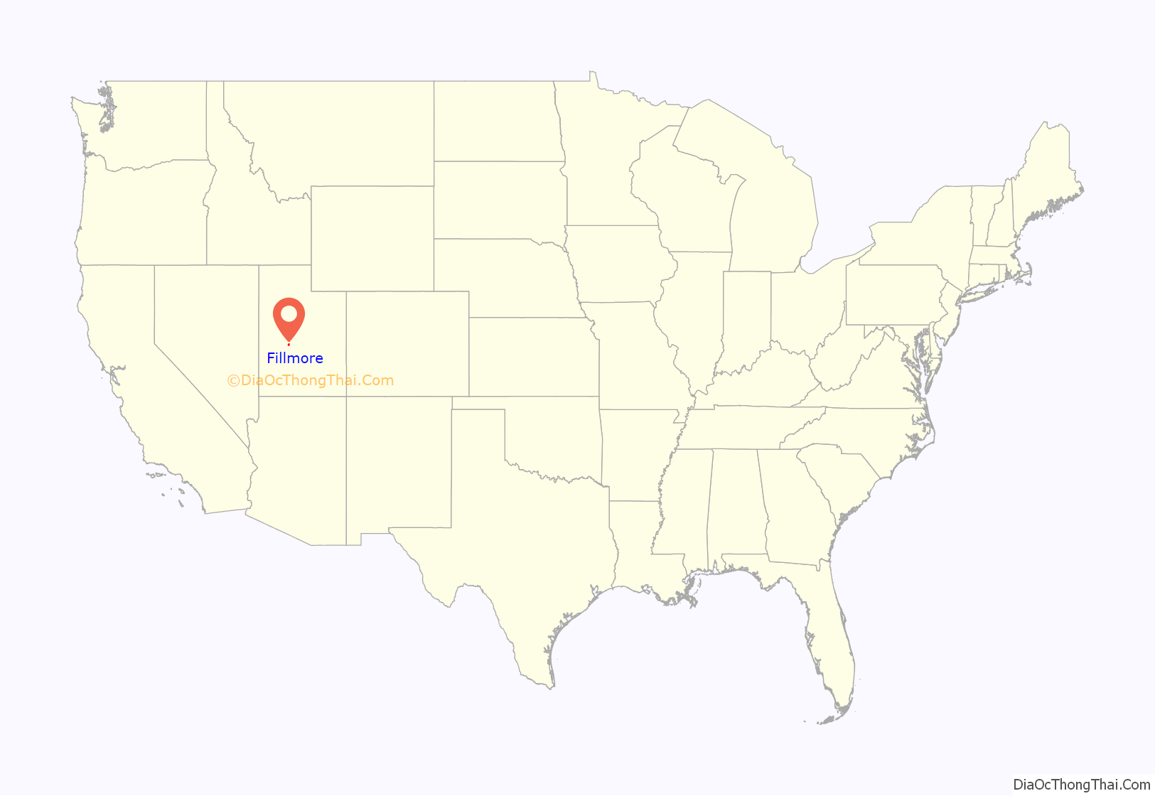
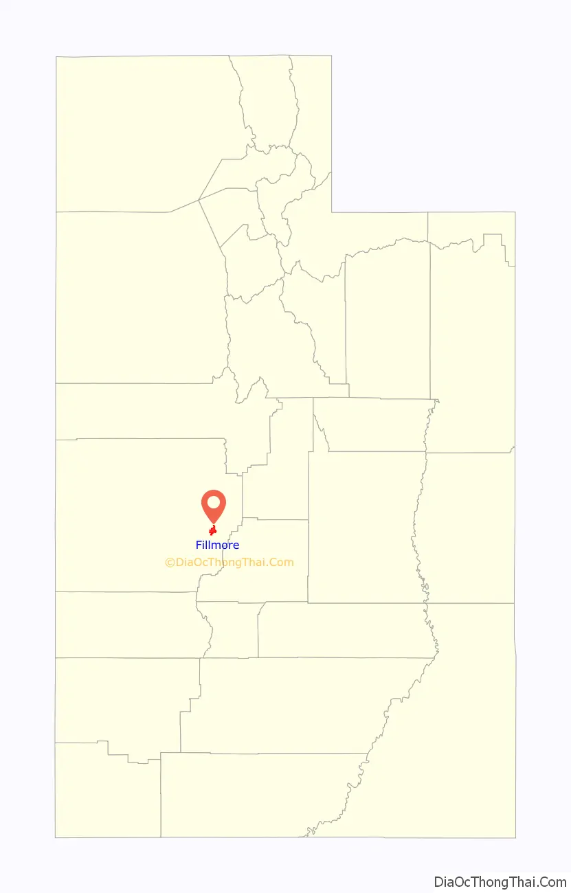
Fillmore location map. Where is Fillmore city?
History
Fillmore, located near the geographic center of the territory, was originally built as the capital of Utah Territory. The Utah Territorial Legislature approved a plan to locate the capital in the Pahvant Valley. On October 28, 1851, Utah governor Brigham Young chose the specific site for Fillmore. Jesse W. Fox, that same day, surveyed the town. Anson Call headed the colonizing company that shortly followed; they built houses, a grist mill, and a sawmill. The capitol building was begun in 1852.
In the following years, some disagreements developed with the Native Americans in the area, but Brigham Young sent Dimick B. Huntington to the area, and he managed to negotiate peace. The region was considered a route, along the 38th parallel, for the transcontinental railroad. Captain John W. Gunnison, leading a military party surveying the region, was attacked by a band of Pahvants (Ute) west of Fillmore. Gunnison and seven of his men were killed (October 1853). During the 1860s, two forts, Fort Deseret and Cove Fort were constructed nearby as protection from Indian unrest.
In 1855, the territorial legislature met in Fillmore. However, in 1856, the legislature decided to move the Territorial Capital to the larger community of Salt Lake City.
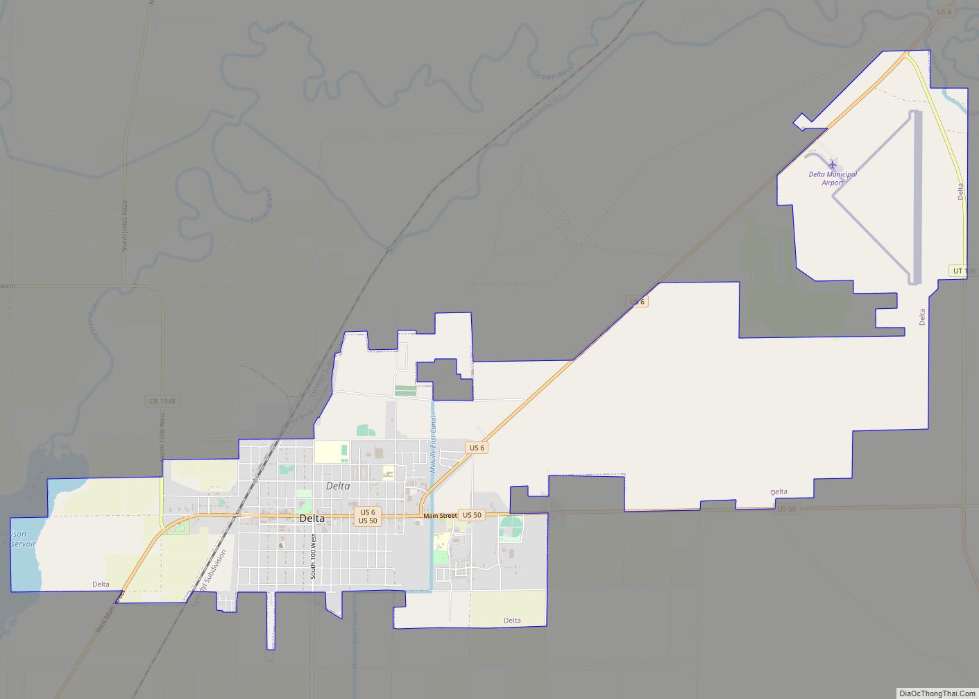
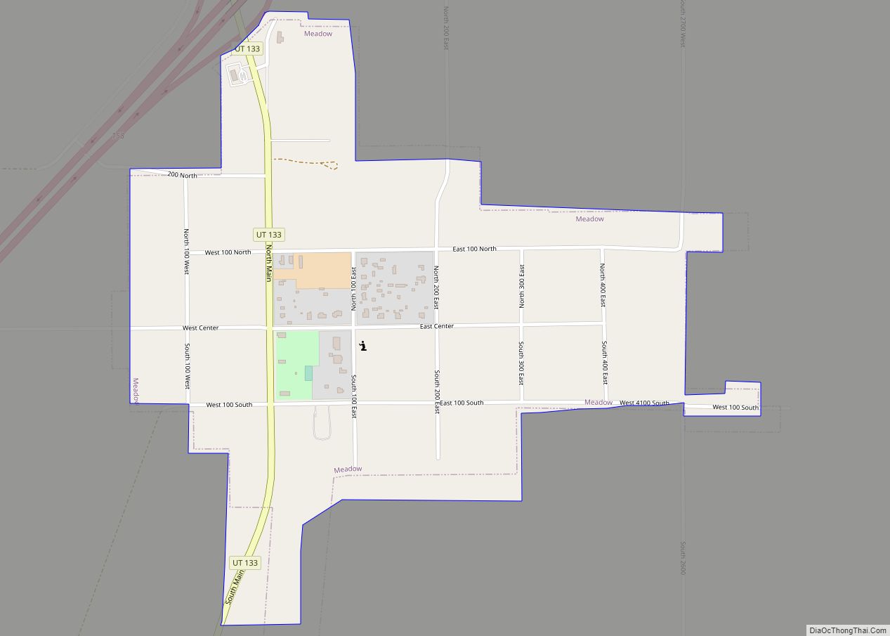
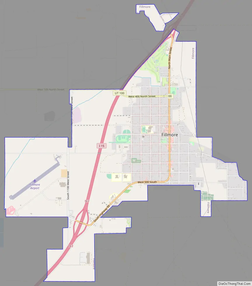
Fillmore Road Map
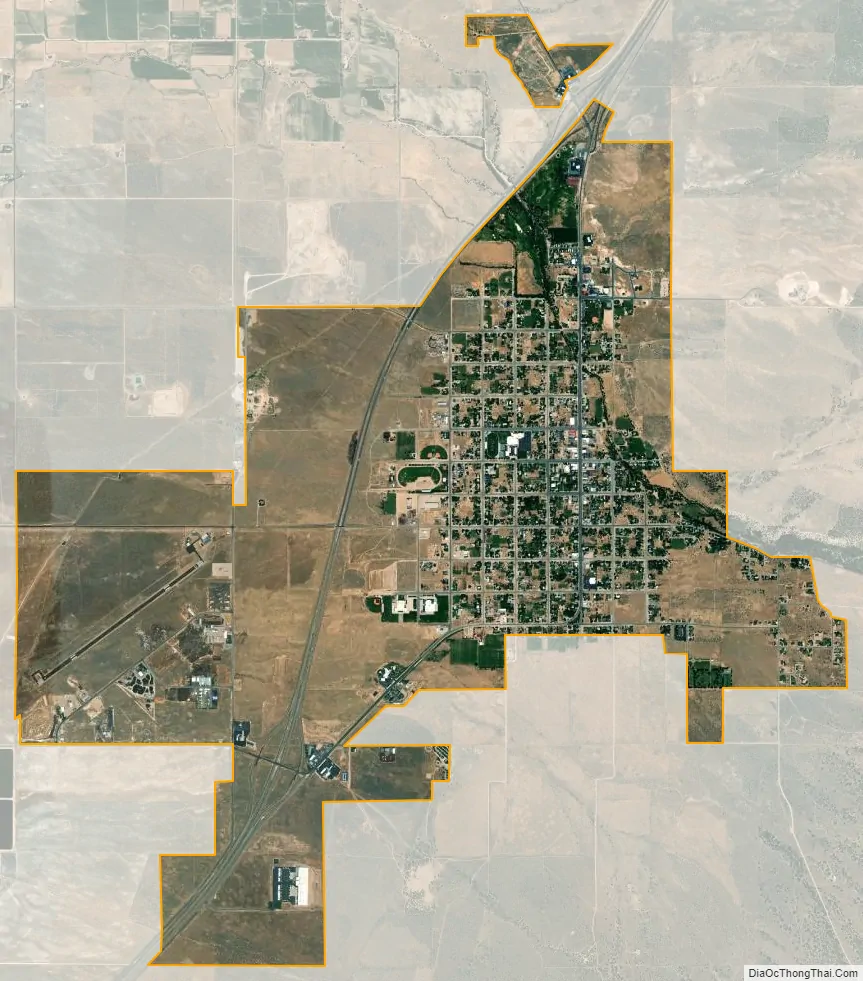
Fillmore city Satellite Map
Geography
Fillmore is located at an elevation of 5,135 feet (1,565 m) in elevation. It lies in the Pahvant Valley, near the base of the Pahvant Mountain Range.
According to the United States Census Bureau, the city has a total area of 5.8 square miles (14.9 km), all land.
Climate
In the Köppen climate classification, Fillmore has either a humid subtropical climate (Cfa) or humid continental climate (Dfa) depending on which variant of the system is used.
See also
Map of Utah State and its subdivision: Map of other states:- Alabama
- Alaska
- Arizona
- Arkansas
- California
- Colorado
- Connecticut
- Delaware
- District of Columbia
- Florida
- Georgia
- Hawaii
- Idaho
- Illinois
- Indiana
- Iowa
- Kansas
- Kentucky
- Louisiana
- Maine
- Maryland
- Massachusetts
- Michigan
- Minnesota
- Mississippi
- Missouri
- Montana
- Nebraska
- Nevada
- New Hampshire
- New Jersey
- New Mexico
- New York
- North Carolina
- North Dakota
- Ohio
- Oklahoma
- Oregon
- Pennsylvania
- Rhode Island
- South Carolina
- South Dakota
- Tennessee
- Texas
- Utah
- Vermont
- Virginia
- Washington
- West Virginia
- Wisconsin
- Wyoming