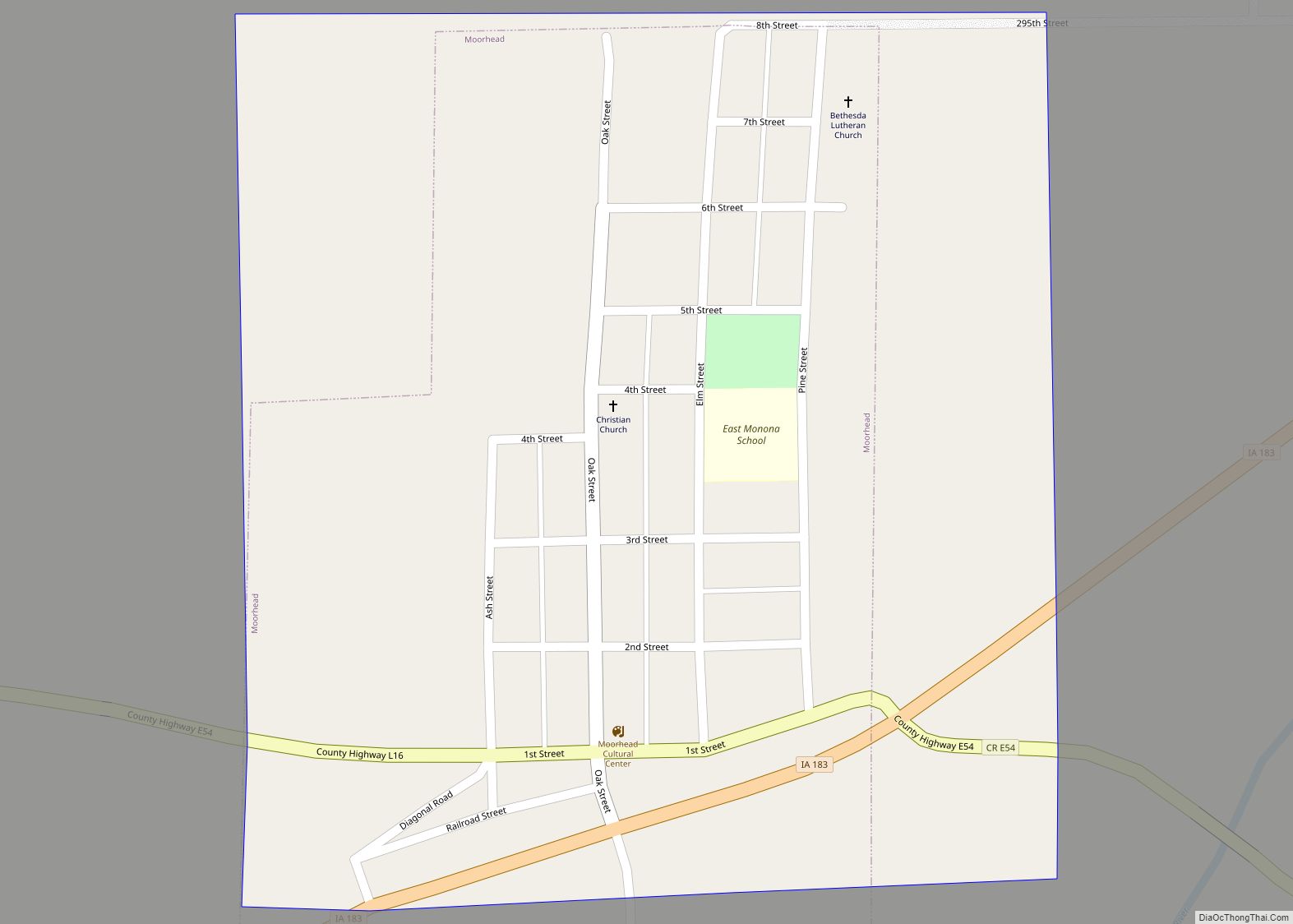
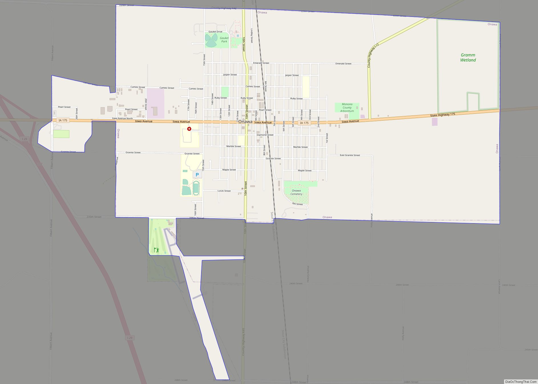
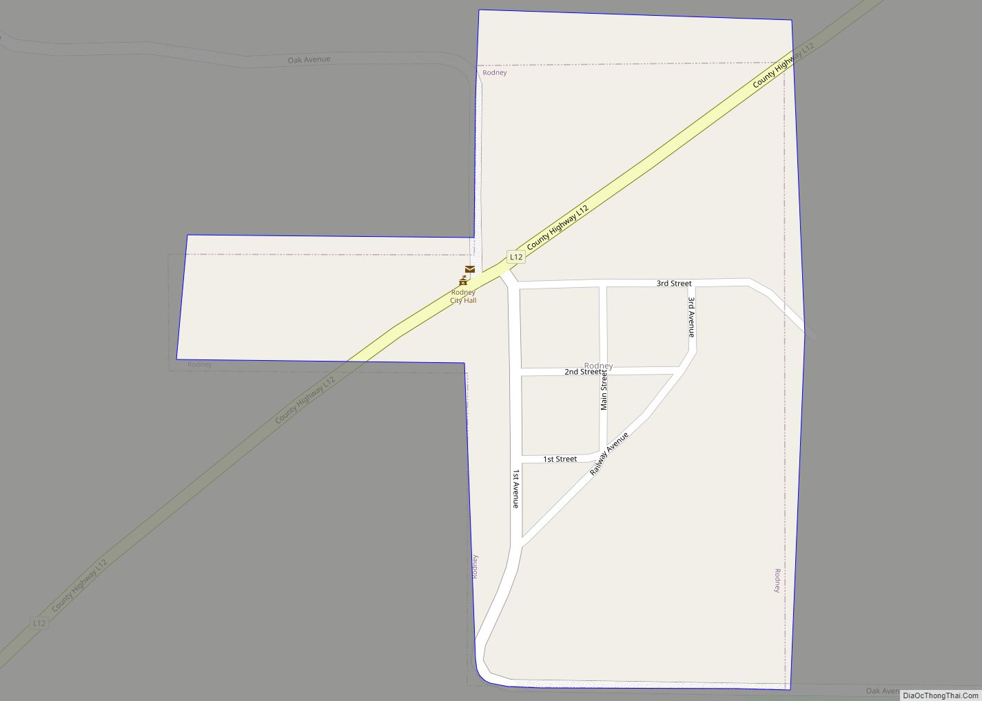
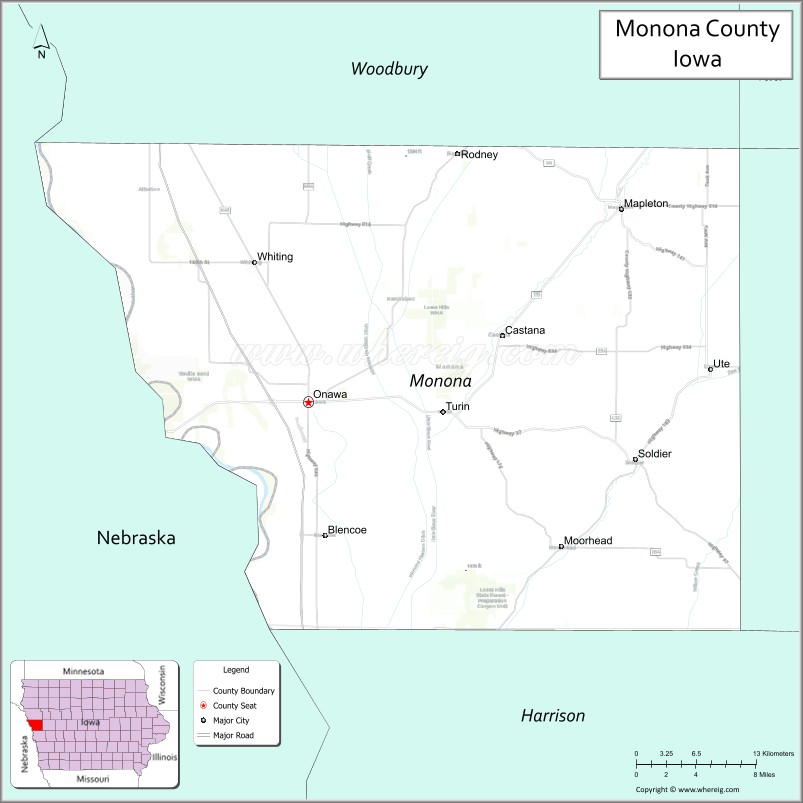
Monona County is a county located in the U.S. state of Iowa. As of the 2020 census, the population was 8,751. The county seat is Onawa.
| Name: | Monona County |
|---|---|
| FIPS code: | 19-133 |
| State: | Iowa |
| Founded: | 1851 |
| Seat: | Onawa |
| Largest city: | Onawa |
| Total Area: | 699 sq mi (1,810 km²) |
| Land Area: | 694 sq mi (1,800 km²) |
| Total Population: | 8,751 |
| Population Density: | 13/sq mi (4.8/km²) |
| Time zone: | UTC−6 (Central) |
| Summer Time Zone (DST): | UTC−5 (CDT) |
| Website: | www.mononacounty.org |
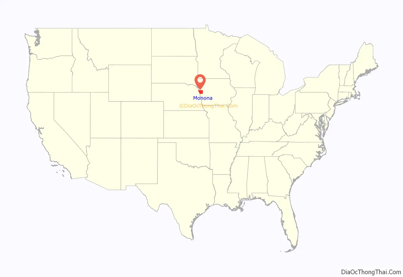
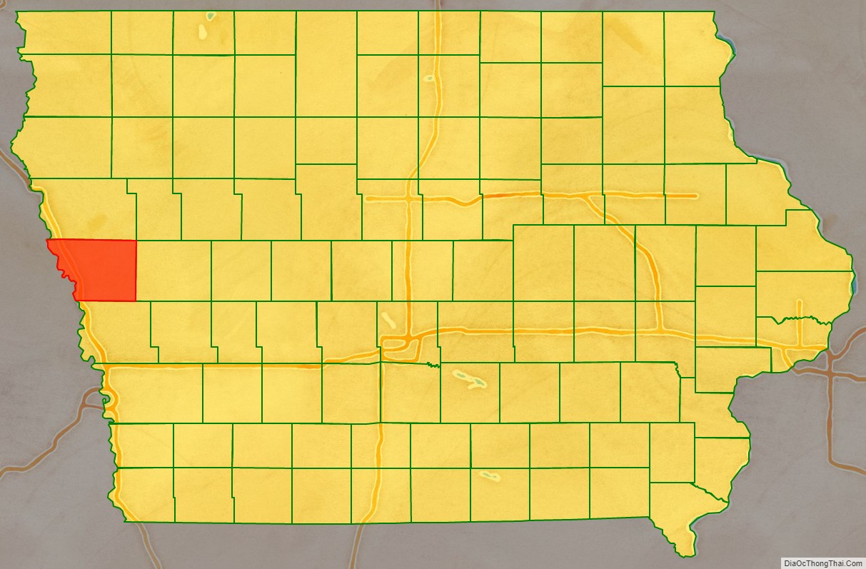
Monona County location map. Where is Monona County?
History
The area around present-day Onawa was a stopping point in 1804 for Meriwether Lewis and William Clark during their exploration of the newly obtained Louisiana Purchase. Many years later, that site was memorialized as the Lewis and Clark State Park.
Monona County was formed in 1851. It was perhaps named for an Indian word meaning “beautiful valley.”
Monona County was organized officially in the spring of 1854 having been a part of Benton County (every county west of Benton in a line) in 1851 and afterwards Harrison County between 1852 and 1854.
When Ashton (originally called Bloomfield) was named the county seat in the fall of 1854, a log house served as the first courthouse. Ashton remained the county seat for only four years. That designation was moved to Onawa on April 5, 1858, and the first Monona County Courthouse was completed that same year.
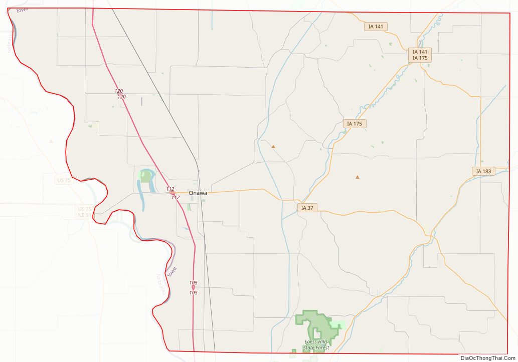
Monona County Road Map
Geography
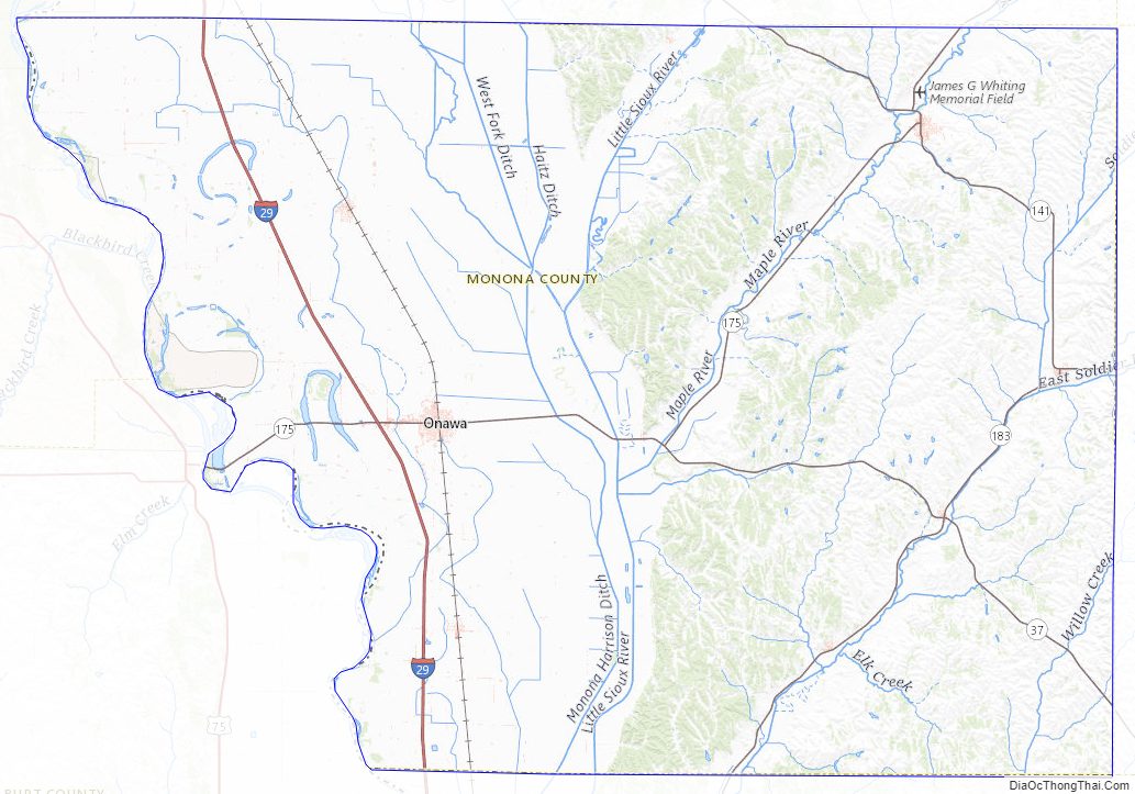
According to the U.S. Census Bureau, the county has a total area of 699 square miles (1,810 km), of which 694 square miles (1,800 km) is land and 4.9 square miles (13 km) (0.7%) is water.
Major highways
- Interstate 29
- Iowa Highway 37
- Iowa Highway 141
- Iowa Highway 175
- Iowa Highway 183
Adjacent counties
- Woodbury County (north)
- Crawford County (east)
- Harrison County (south)
- Burt County, Nebraska (southwest)
- Thurston County, Nebraska (west)
Monona County Topographic Map
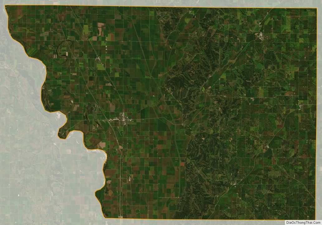
Monona County Satellite Map
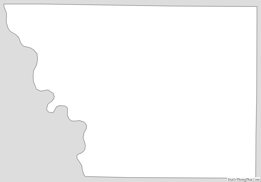
Monona County Outline Map