Woodbury County is a county located in the U.S. state of Iowa. As of the 2020 census, the population was 105,941, making it the sixth-most populous county in Iowa. The county seat is Sioux City.
Woodbury County is included in the Sioux City metropolitan area.
| Name: | Woodbury County |
|---|---|
| FIPS code: | 19-193 |
| State: | Iowa |
| Founded: | 1851 |
| Named for: | Levi Woodbury |
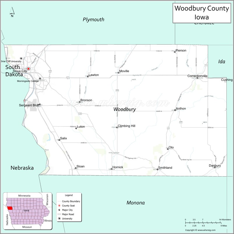
| Seat: | Sioux City |
| Largest city: | Sioux City |
| Total Area: | 878 sq mi (2,270 km²) |
| Land Area: | 872.59 sq mi (2,260.0 km²) |
| Total Population: | 105,941 |
| Population Density: | 120/sq mi (47/km²) |
| Time zone: | UTC−6 (Central) |
| Summer Time Zone (DST): | UTC−5 (CDT) |
| Website: | www.woodburycountyiowa.gov |
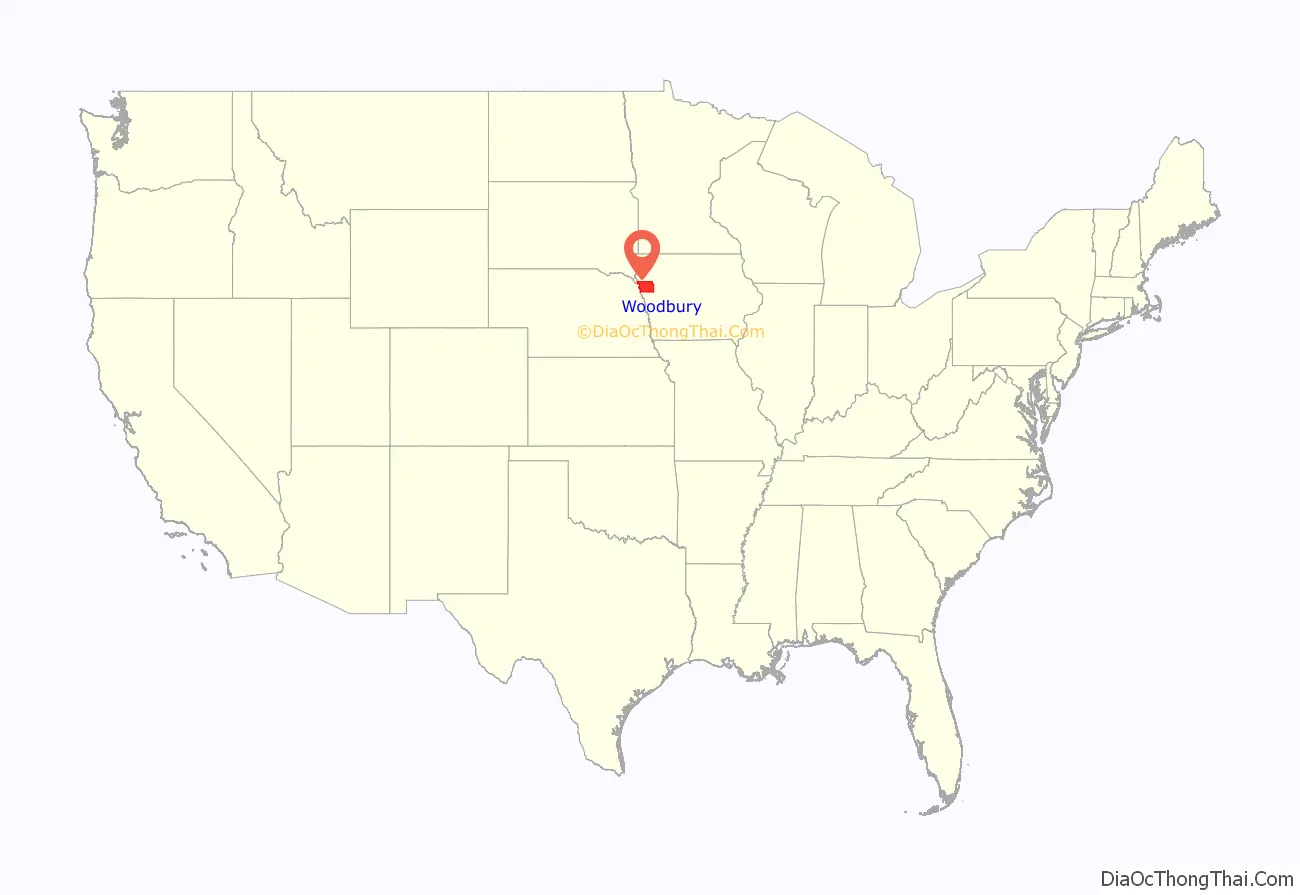
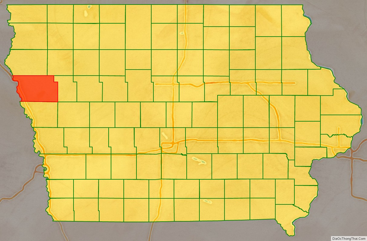
Woodbury County location map. Where is Woodbury County?
History
Originally established in 1851 as Wahkaw County, the Iowa Legislature in 1853 changed the name to Woodbury County in honor of Levi Woodbury (1789–1851), a senator and governor of New Hampshire who served as a Supreme Court justice from 1844 until his death.
The first county seat of Wahkaw County was the now-extinct village of Thompsonville; when the Legislature changed the county name to Woodbury, the new county seat became Sergeant’s Bluff (now Sergeant Bluff). The county seat was moved to Sioux City in 1856.
The Winnebago Tribe of Nebraska (Ho-Chunk) owns reservation land in Woodbury County.
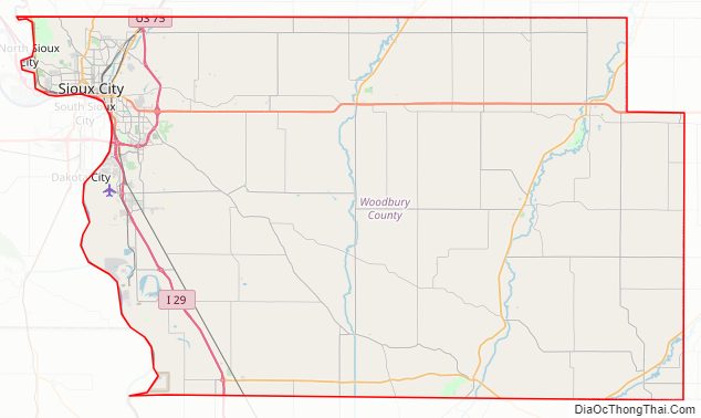
Woodbury County Road Map
Geography
The county is on the western edge of Iowa, with its western border being the Missouri River.
According to the U.S. Census Bureau, the county has a total area of 878 square miles (2,270 km), of which 873 square miles (2,260 km) is land and 4.9 square miles (13 km) (0.6%) is water. It is the third-largest county by area in Iowa.
Major highways
- Interstate 29
- Interstate 129
- U.S. Highway 20
- U.S. Highway 75
- U.S. Highway 77
- Iowa Highway 12
- Iowa Highway 31
- Iowa Highway 140
- Iowa Highway 141
- Iowa Highway 175
Transit
- Sioux City Transit
- List of intercity bus stops in Iowa
Adjacent counties
- Plymouth County (north)
- Cherokee County (northeast)
- Ida County (east)
- Monona County (south)
- Thurston County, Nebraska (southwest)
- Dakota County, Nebraska (west)
- Union County, South Dakota (northwest)
Woodbury County Topographic Map
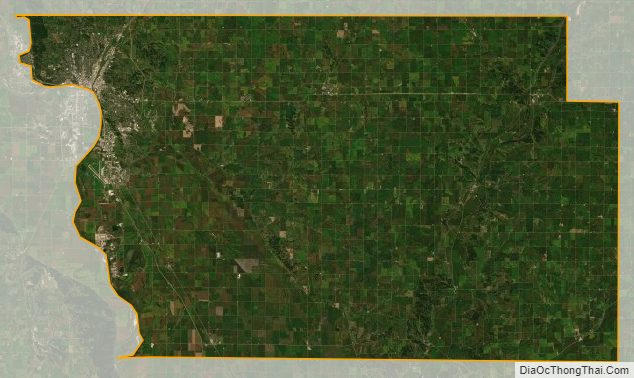
Woodbury County Satellite Map
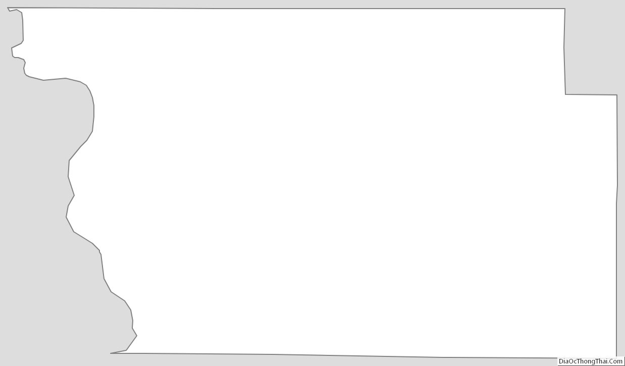
Woodbury County Outline Map