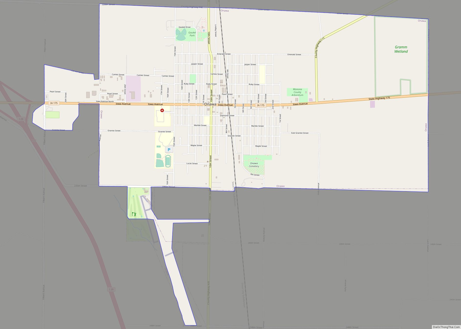
Onawa is a city in, and the county seat of, Monona County, Iowa, United States. The population was 2,906 at the time of the 2020 Census. It is the largest town on the Iowa side of the Missouri River between Council Bluffs and Sioux City.
| Name: | Onawa city |
|---|---|
| LSAD Code: | 25 |
| LSAD Description: | city (suffix) |
| State: | Iowa |
| County: | Monona County |
| Elevation: | 1,050 ft (320 m) |
| Total Area: | 5.27 sq mi (13.64 km²) |
| Land Area: | 5.27 sq mi (13.64 km²) |
| Water Area: | 0.00 sq mi (0.00 km²) |
| Total Population: | 2,906 |
| Population Density: | 551.63/sq mi (212.98/km²) |
| ZIP code: | 51040 |
| Area code: | 712 |
| FIPS code: | 1959115 |
| GNISfeature ID: | 0459865 |
| Website: | www.onawa.com |
Online Interactive Map
Click on ![]() to view map in "full screen" mode.
to view map in "full screen" mode.
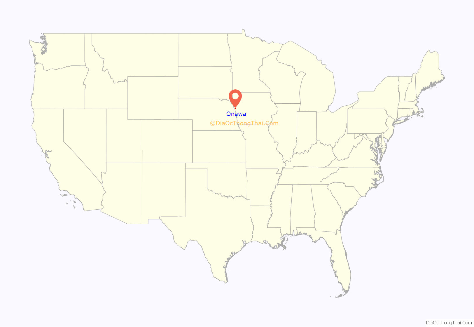
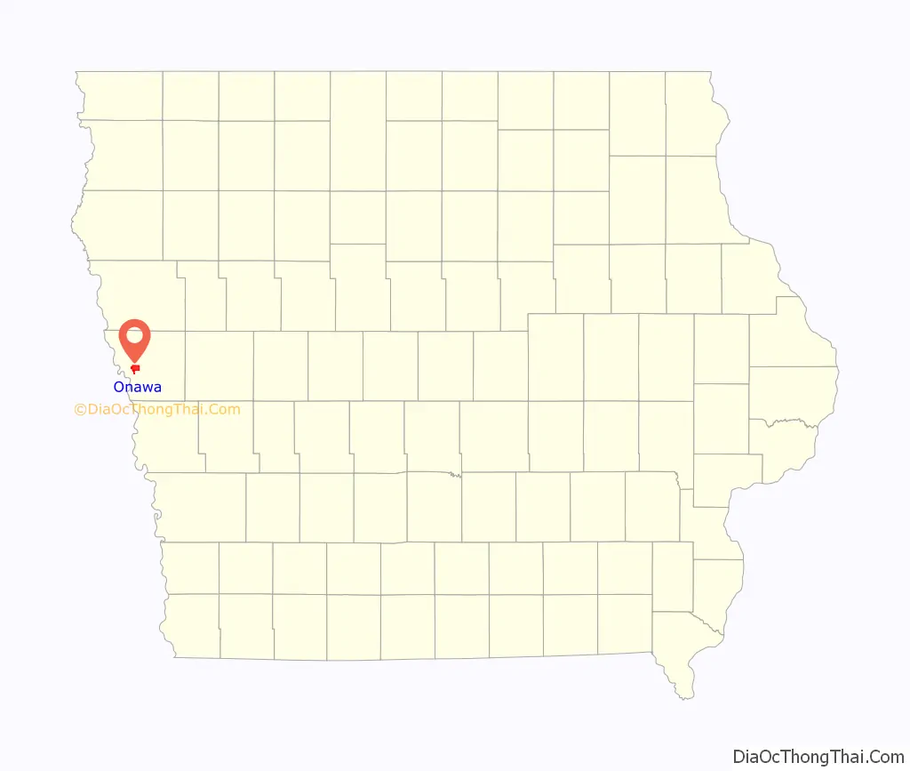
Onawa location map. Where is Onawa city?
History
Onawa was named for a character mentioned in the poem The Song of Hiawatha by Henry Wadsworth Longfellow. Onawa was platted in 1857, and the railway arrived to the city in 1867. The city is known for having the widest main street in the continental United States.
Onawa was the site of a prisoner-of-war (POW) camp for captured German soldiers between 1944 and 1946. Historical documents indicate there were never more than 50 POWs in camp. A larger camp existed near the central Iowa town of Algona, and housed as many as 5,400 German POWs.
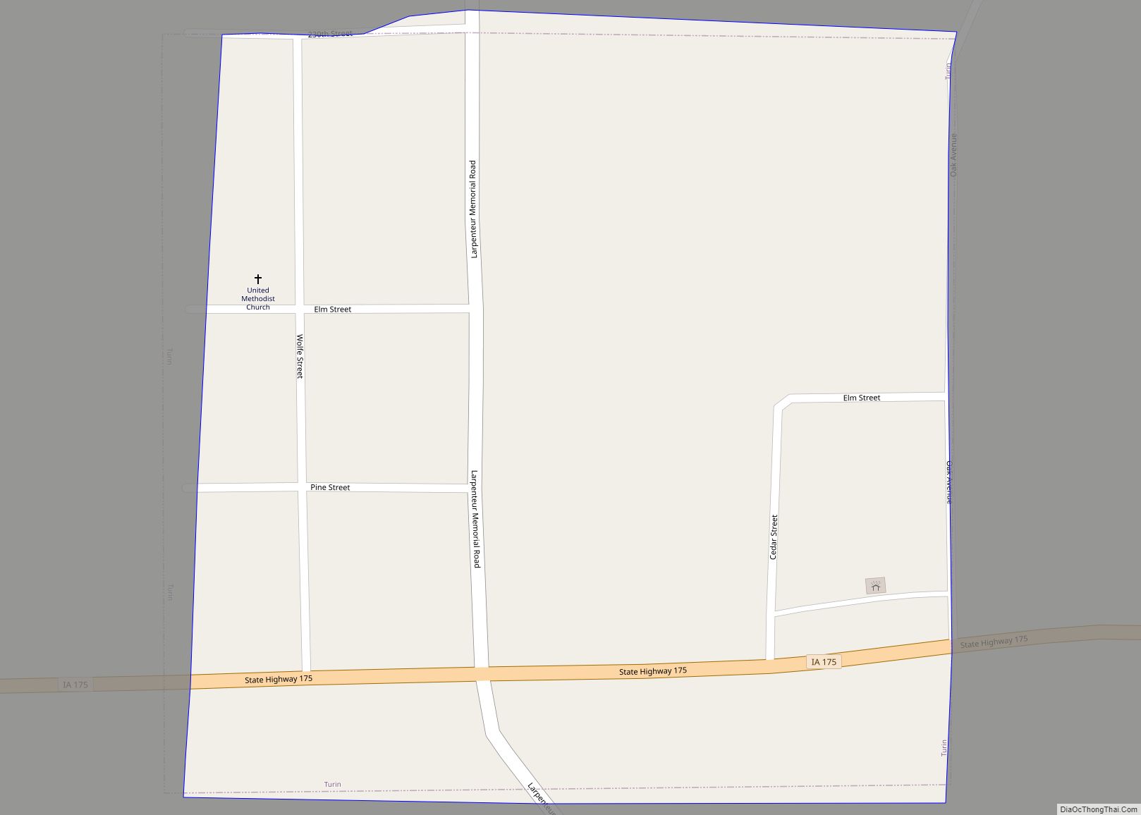
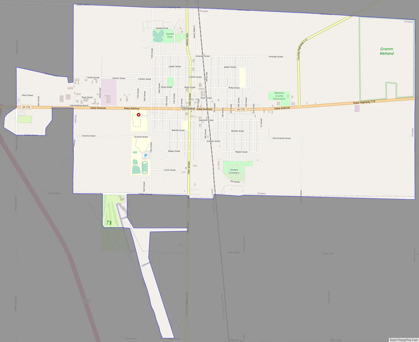
Onawa Road Map
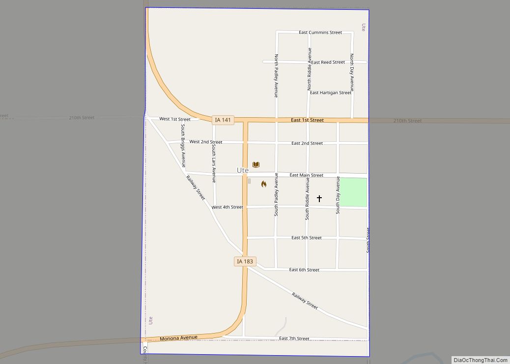
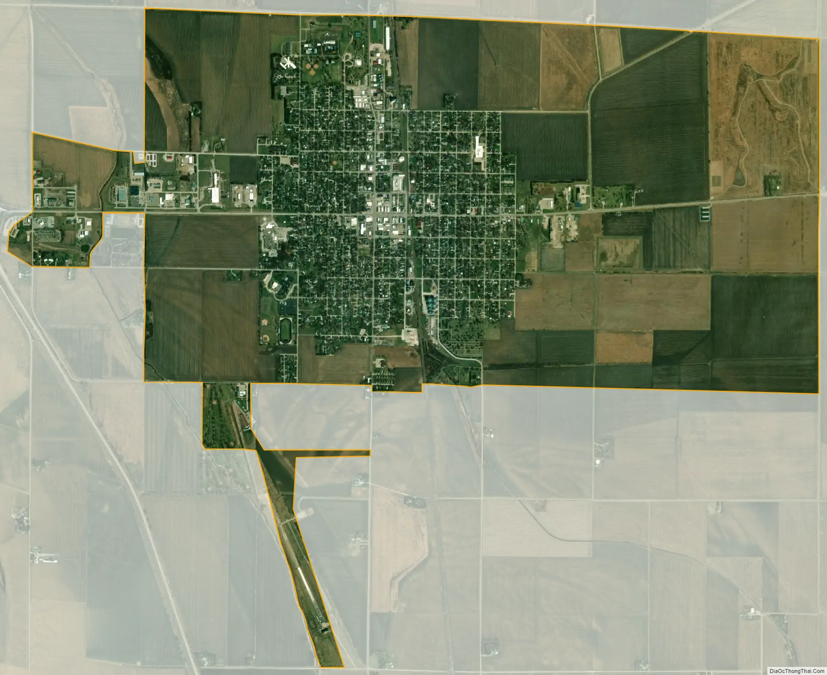
Onawa city Satellite Map
Geography
Onawa’s longitude and latitude coordinates in decimal form are 42.027490, -96.096513.
According to the United States Census Bureau, the city has a total area of 5.19 square miles (13.44 km), all land.
Onawa is located in the Loess Hills region of western Iowa, a unique geological and environmental area. Nearby are such natural areas as Lewis & Clark State Park, Preparation Canyon State Park, and the Loess Hills State Forest.
See also
Map of Iowa State and its subdivision:- Adair
- Adams
- Allamakee
- Appanoose
- Audubon
- Benton
- Black Hawk
- Boone
- Bremer
- Buchanan
- Buena Vista
- Butler
- Calhoun
- Carroll
- Cass
- Cedar
- Cerro Gordo
- Cherokee
- Chickasaw
- Clarke
- Clay
- Clayton
- Clinton
- Crawford
- Dallas
- Davis
- Decatur
- Delaware
- Des Moines
- Dickinson
- Dubuque
- Emmet
- Fayette
- Floyd
- Franklin
- Fremont
- Greene
- Grundy
- Guthrie
- Hamilton
- Hancock
- Hardin
- Harrison
- Henry
- Howard
- Humboldt
- Ida
- Iowa
- Jackson
- Jasper
- Jefferson
- Johnson
- Jones
- Keokuk
- Kossuth
- Lee
- Linn
- Louisa
- Lucas
- Lyon
- Madison
- Mahaska
- Marion
- Marshall
- Mills
- Mitchell
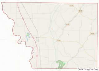
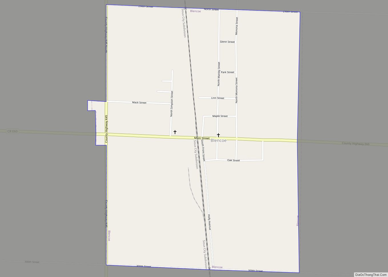
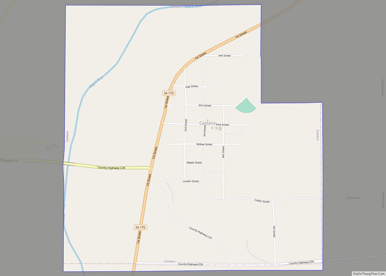
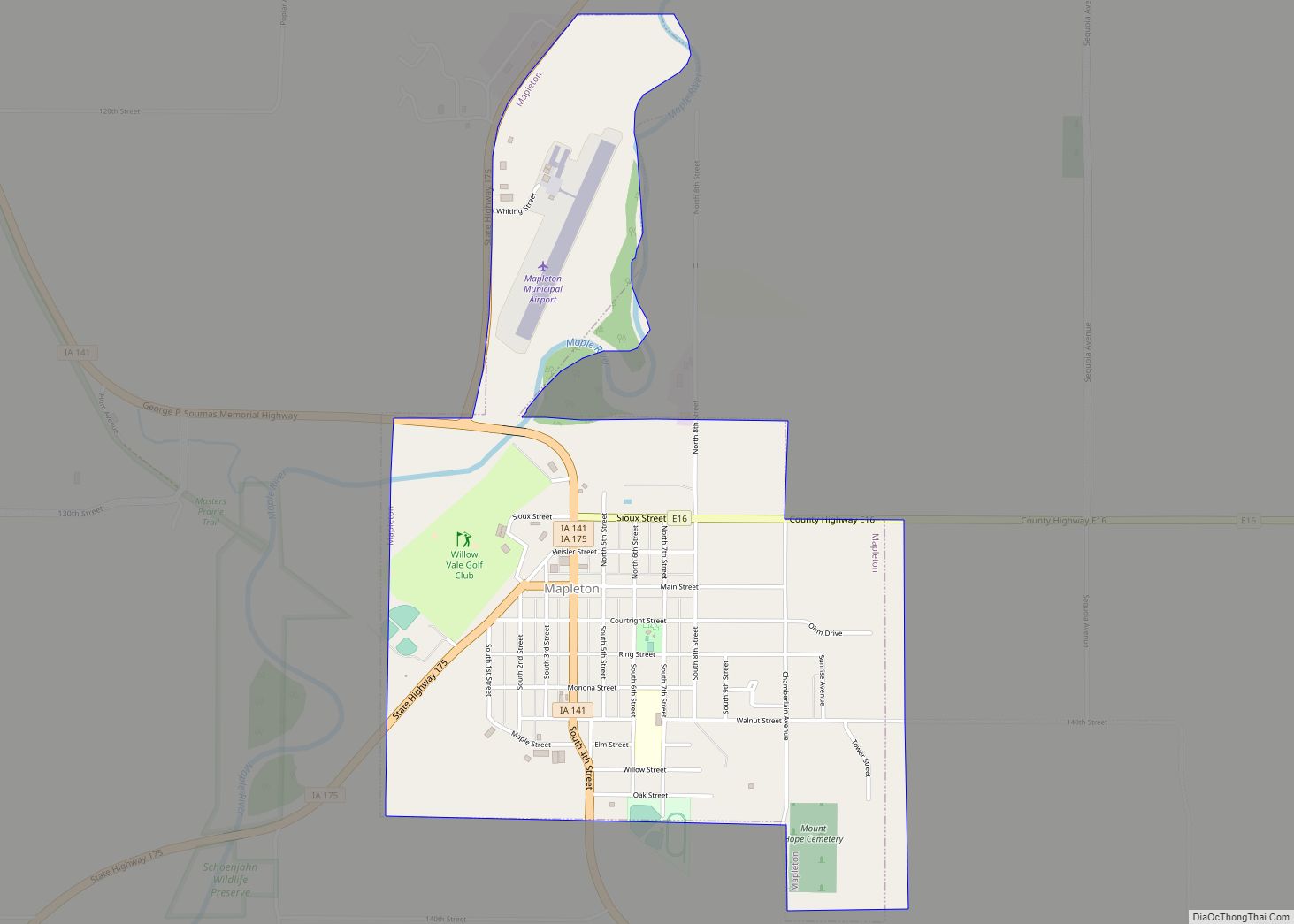
- Monona
- Monroe
- Montgomery
- Muscatine
- O'Brien
- Osceola
- Page
- Palo Alto
- Plymouth
- Pocahontas
- Polk
- Pottawattamie
- Poweshiek
- Ringgold
- Sac
- Scott
- Shelby
- Sioux
- Story
- Tama
- Taylor
- Union
- Van Buren
- Wapello
- Warren
- Washington
- Wayne
- Webster
- Winnebago
- Winneshiek
- Woodbury
- Worth
- Wright
- Alabama
- Alaska
- Arizona
- Arkansas
- California
- Colorado
- Connecticut
- Delaware
- District of Columbia
- Florida
- Georgia
- Hawaii
- Idaho
- Illinois
- Indiana
- Iowa
- Kansas
- Kentucky
- Louisiana
- Maine
- Maryland
- Massachusetts
- Michigan
- Minnesota
- Mississippi
- Missouri
- Montana
- Nebraska
- Nevada
- New Hampshire
- New Jersey
- New Mexico
- New York
- North Carolina
- North Dakota
- Ohio
- Oklahoma
- Oregon
- Pennsylvania
- Rhode Island
- South Carolina
- South Dakota
- Tennessee
- Texas
- Utah
- Vermont
- Virginia
- Washington
- West Virginia
- Wisconsin
- Wyoming