Monroe County is a county in the state of Florida. As of the 2020 census, the population was 82,874. Its county seat is Key West. Monroe County includes the islands of the Florida Keys and comprises the Key West Micropolitan Statistical Area. Over 99.9% of the county’s population lives on the Florida Keys. The mainland, which is part of the Everglades, comprises 87% of the county’s land area and is virtually uninhabited with only 17 people in total.
| Name: | Monroe County |
|---|---|
| FIPS code: | 12-087 |
| State: | Florida |
| Founded: | July 3, 1823 |
| Named for: | James Monroe |
| Seat: | Key West |
| Largest city: | Key West |
| Total Area: | 3,738 sq mi (9,680 km²) |
| Land Area: | 983 sq mi (2,550 km²) |
| Total Population: | 82,874 |
| Population Density: | 22/sq mi (8/km²) |
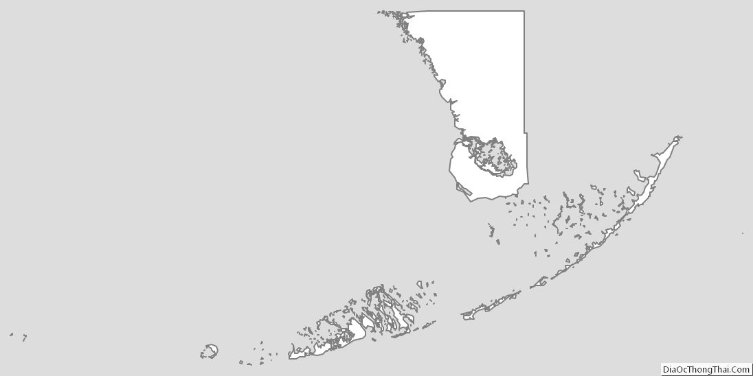
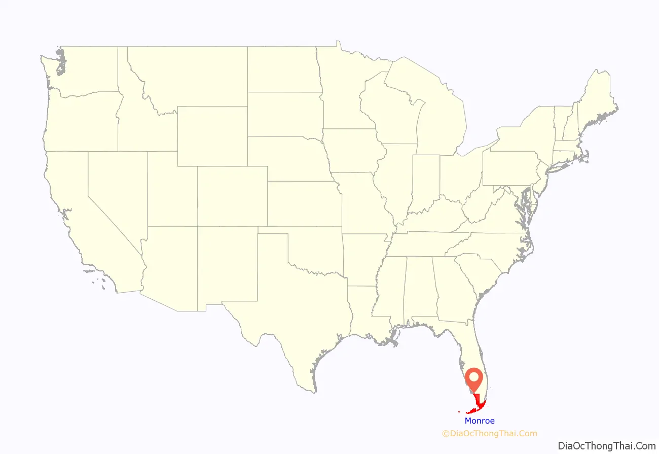
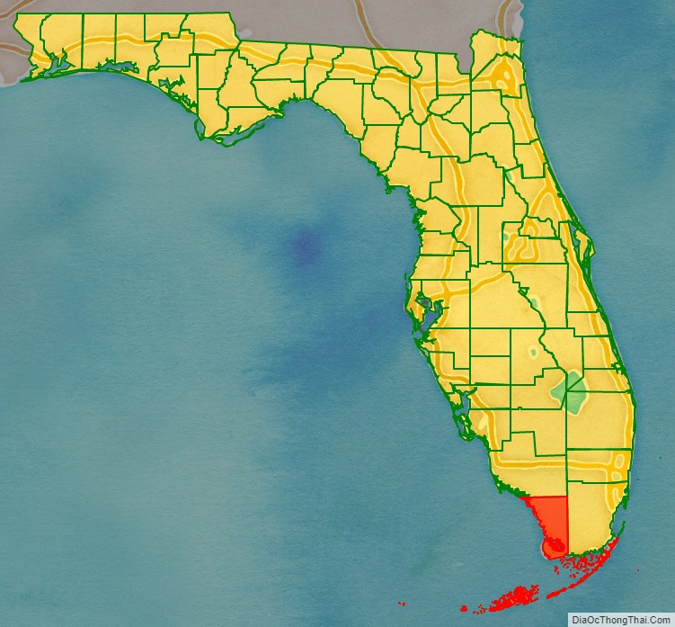
Monroe County location map. Where is Monroe County?
History
Monroe County was created in 1823. It was named for James Monroe, the fifth president of the United States from 1817 to 1825.
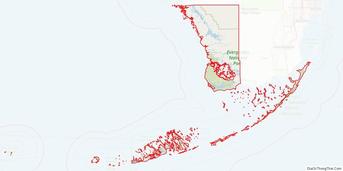
Monroe County Road Map
Geography
According to the U.S. Census Bureau, the county has a total area of 3,738 square miles (9,680 km), of which 983 square miles (2,550 km) (26.3%) is land and 2,754 square miles (7,130 km) (73.7%) is water. It is the largest county in Florida by total area.
More than 99.9 percent of the Monroe County population lives in the island chain known as the Florida Keys.
Two thirds of the large area in what local residents call “mainland Monroe” is uninhabited by virtue of being part of the Everglades National Park, and the remainder by the Big Cypress National Preserve in the northeastern interior. The area, officially named Cape Sable Census County Division, is virtually uninhabited. This area has 87.4 percent of the county’s land area (859.6 out of 983 sq mi (2,546 km)), but it had only 0.022 percent of the county’s population (18 out of 82,170) as of the 2021 American Community Survey. The Census Bureau defines this area as Census Tract 9800 of Monroe County, Florida. If it were a separate county, its population density of only 0.0209 sq mi (0.0541 km) would make it the least dense of all US counties or county-equivalents.
In mainland Monroe, the only three populated places appearing on detailed maps and in the USGS geographic name database are Flamingo, Pinecrest, (not to be confused with much larger Pinecrest of neighboring Miami-Dade County), and Trail City. Flamingo, on the south coast and at the end of State Road 9336 (Flamingo Lodge Highway), is the location of the Flamingo Lodge and the Flamingo Ranger Station (with Visitor Center & Marina). 7 mi (11 km) northeast on the highway is the West Lake Trail (station). Pinecrest, located in the northern interior of the county (in the Big Cypress National Preserve) on Loop Road (given that name since it forms a loop with U.S. Highway 41 further north), hosts the Loop Road Education Center. Trail City is 4 mi (6 km) west of Pinecrest on Loop Road. Loop Road can be found on most maps as CR 94, although the roadway no longer has a numbered designation and is now managed by the National Park Service.
Between the south coast of Florida’s mainland and the Florida Keys is Florida Bay, which is encompassed by the Everglades National Park and contains numerous islets or keys.
Adjacent counties
- Collier County – north (on mainland)
- Miami-Dade County – east (on mainland) and north (over water)
Protected areas
- Bahia Honda State Park
- Big Cypress National Preserve
- Crocodile Lake National Wildlife Refuge
- Curry Hammock State Park
- Dagny Johnson Key Largo Hammock Botanical State Park
- Dry Tortugas National Park
- Everglades National Park
- Fort Zachary Taylor Historic State Park
- Great White Heron National Wildlife Refuge
- Indian Key State Historic Site
- John Pennekamp Coral Reef State Park
- Key West National Wildlife Refuge
- Lignumvitae Key Botanical State Park
- Long Key State Park
- National Key Deer Refuge
- San Pedro Underwater Archaeological Preserve State Park
- Windley Key Fossil Reef Geological State Park
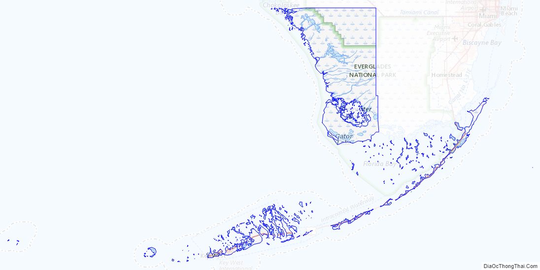
Monroe County Topographic Map
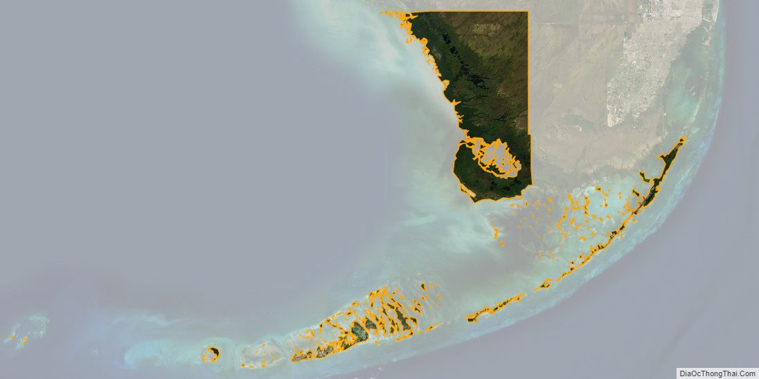
Monroe County Satellite Map
Monroe County Outline Map