| Name: | Collier County |
|---|---|
| FIPS code: | 12-021 |
| State: | Florida |
| Founded: | May 8, 1923 |
| Named for: | Barron Collier |
| Seat: | East Naples |
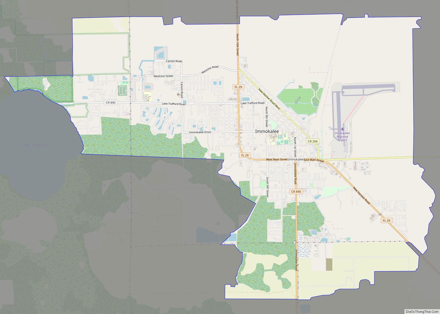
| Largest city: | Naples |
| Total Area: | 2,305 sq mi (5,970 km²) |
| Land Area: | 1,998 sq mi (5,170 km²) |
| Total Population: | 375,752 |
| Population Density: | 188/sq mi (73/km²) |
| Time zone: | UTC−5 (Eastern) |
| Summer Time Zone (DST): | UTC−4 (EDT) |
| Website: | www.colliergov.net |
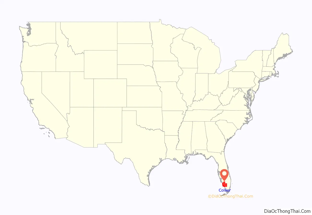
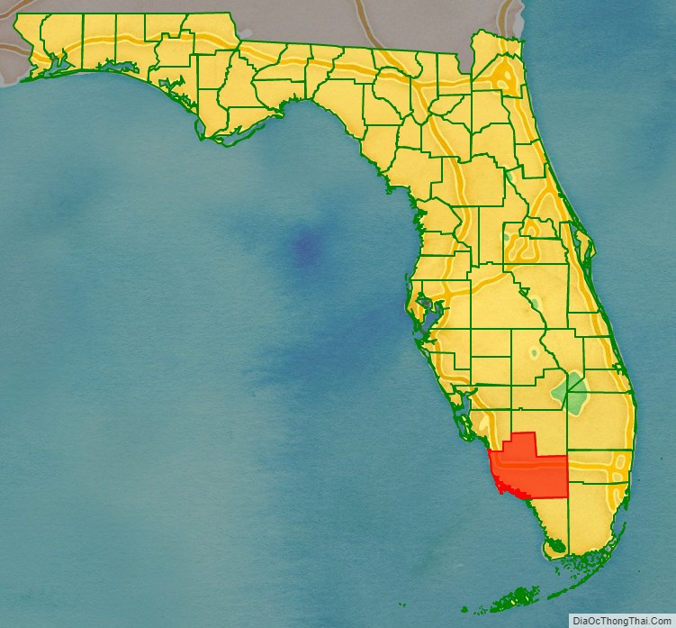
Collier County location map. Where is Collier County?
History
Archaeology at Platt Island in the Big Cypress National Preserve shows humans settled in what is now Collier County more than two thousand years ago. The Calusa people had an extensive presence in the area when Europeans arrived.
The county was created in 1923 from Lee County. It was named for Barron Collier, a New York City advertising mogul and real estate developer who had moved to Southwest Florida and established himself as a prominent landowner. He agreed to build the Tamiami Trail for what was then Lee County (comprising today’s Collier, Hendry, and Lee Counties) in exchange for favorable consideration with the state legislature to have a county named for him. After Collier County was named, Collier was quoted as saying: “When I first came here on holiday with Juliet, I never expected that I would buy a whole region of it, nor did I expect to pay for the new Tamiami Trail, or half the things I’ve done. But I really didn’t expect to have a whole county named after me.”
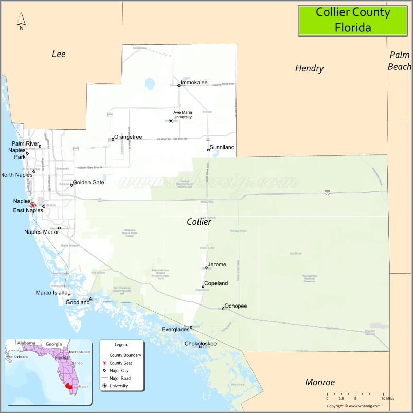
Collier County Road Map
Geography
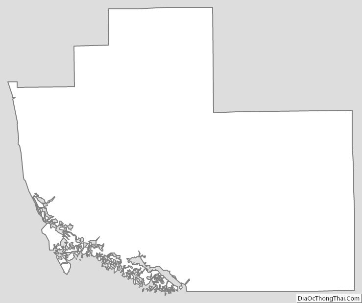
According to the U.S. Census Bureau, the county has a total area of 2,305 square miles (5,970 km), of which 1,998 square miles (5,170 km) is land and 307 square miles (800 km) (13.3%) is water. It is the largest county in Florida by land area and fourth-largest by total area. Virtually the entire southeastern portion of the county lies within the Big Cypress National Preserve. The northernmost portion of Everglades National Park extends into the southern coastal part of the county. The total area of this county is nearly 1.5 times the size of Rhode Island, which is the smallest state, and is bigger than Rhode Island and Luxembourg combined.
Adjacent counties
Collier County is located at the southern end of Florida’s Gulf Coast, and bounded by:
- Hendry County – north
- Broward County – east
- Miami-Dade County – southeast
- Monroe County – south
- Lee County – northwest
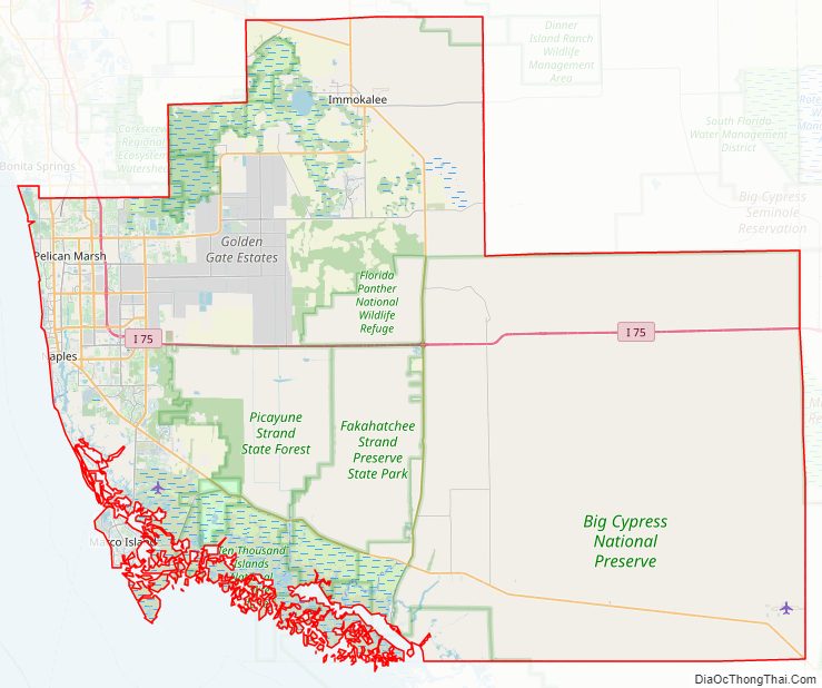
National protected areas
- Big Cypress National Preserve (part)
- Everglades National Park (part)
- Florida Panther National Wildlife Refuge
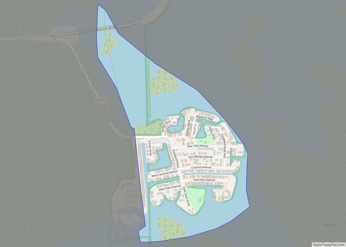
- Ten Thousand Islands National Wildlife Refuge
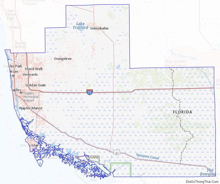
Collier County Topographic Map
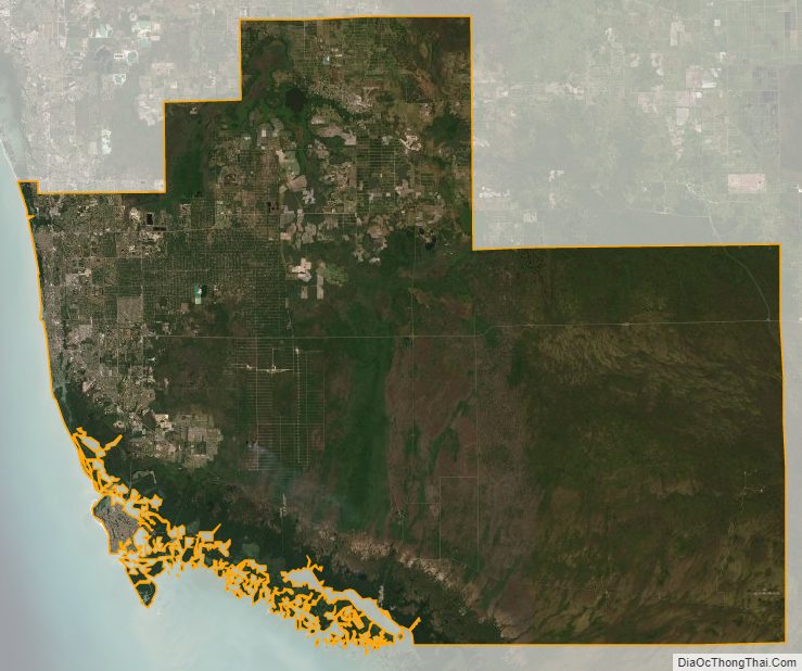
Collier County Satellite Map
Collier County Outline Map