Pinecrest is a suburban village in Miami-Dade County, Florida, United States. As of the 2020 census the population was 18,388.
Pinecrest is governed by a five-member village council and operates under the council-manager form of government. 33156, the ZIP code that encompasses most of the village, has been consistently ranked as one of the most expensive in the United States.
| Name: | Pinecrest village |
|---|---|
| LSAD Code: | 47 |
| LSAD Description: | village (suffix) |
| State: | Florida |
| County: | Miami-Dade County |
| Incorporated: | March 12, 1996 |
| Elevation: | 3 ft (1 m) |
| Total Area: | 7.54 sq mi (19.52 km²) |
| Land Area: | 7.45 sq mi (19.30 km²) |
| Water Area: | 0.09 sq mi (0.23 km²) 0.13% |
| Total Population: | 18,388 |
| Population Density: | 2,467.86/sq mi (952.88/km²) |
| ZIP code: | 33156 |
| Area code: | 305, 786 |
| FIPS code: | 1256625 |
| GNISfeature ID: | 1764896 |
| Website: | pinecrest-fl.gov |
Online Interactive Map
Click on ![]() to view map in "full screen" mode.
to view map in "full screen" mode.
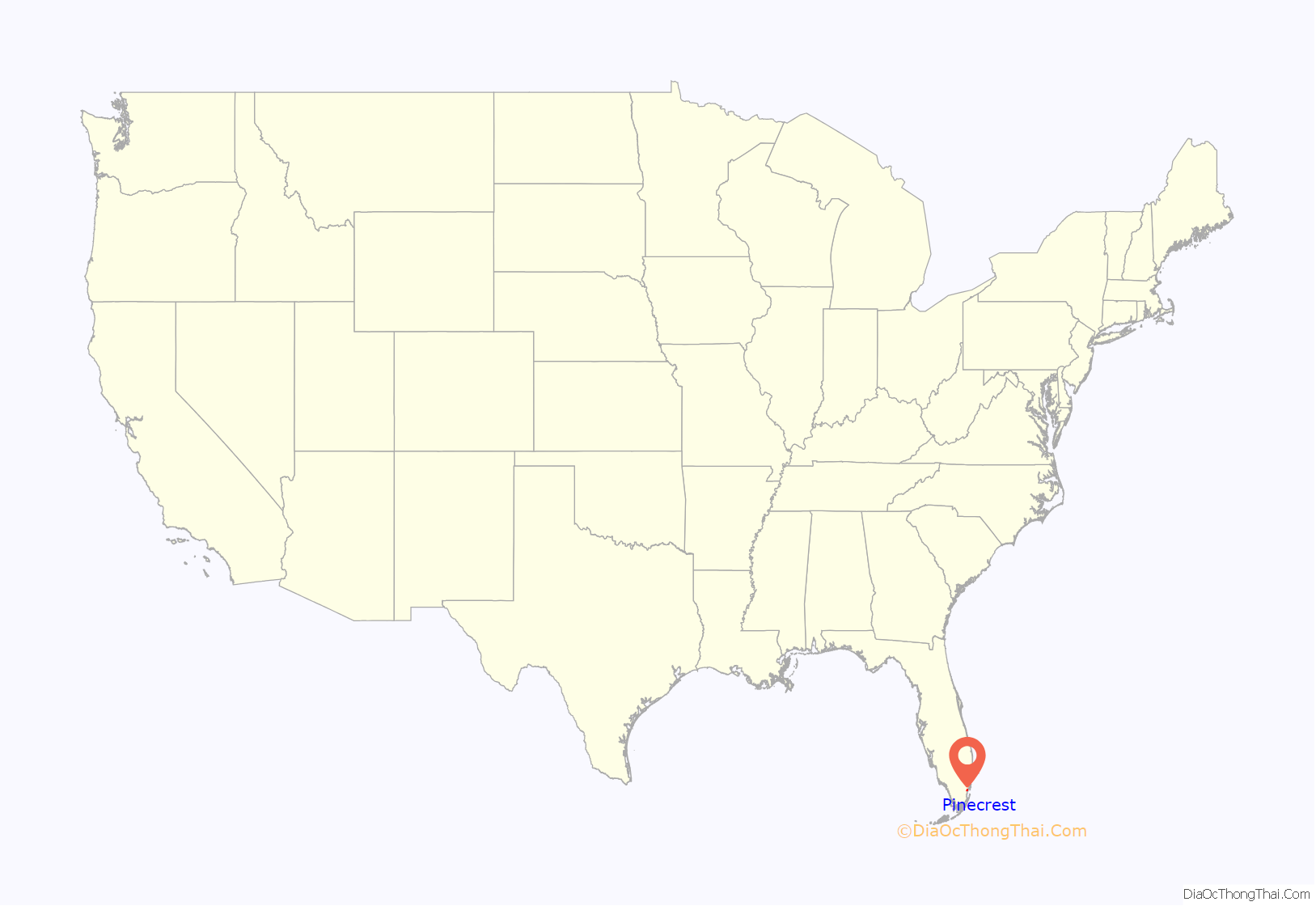
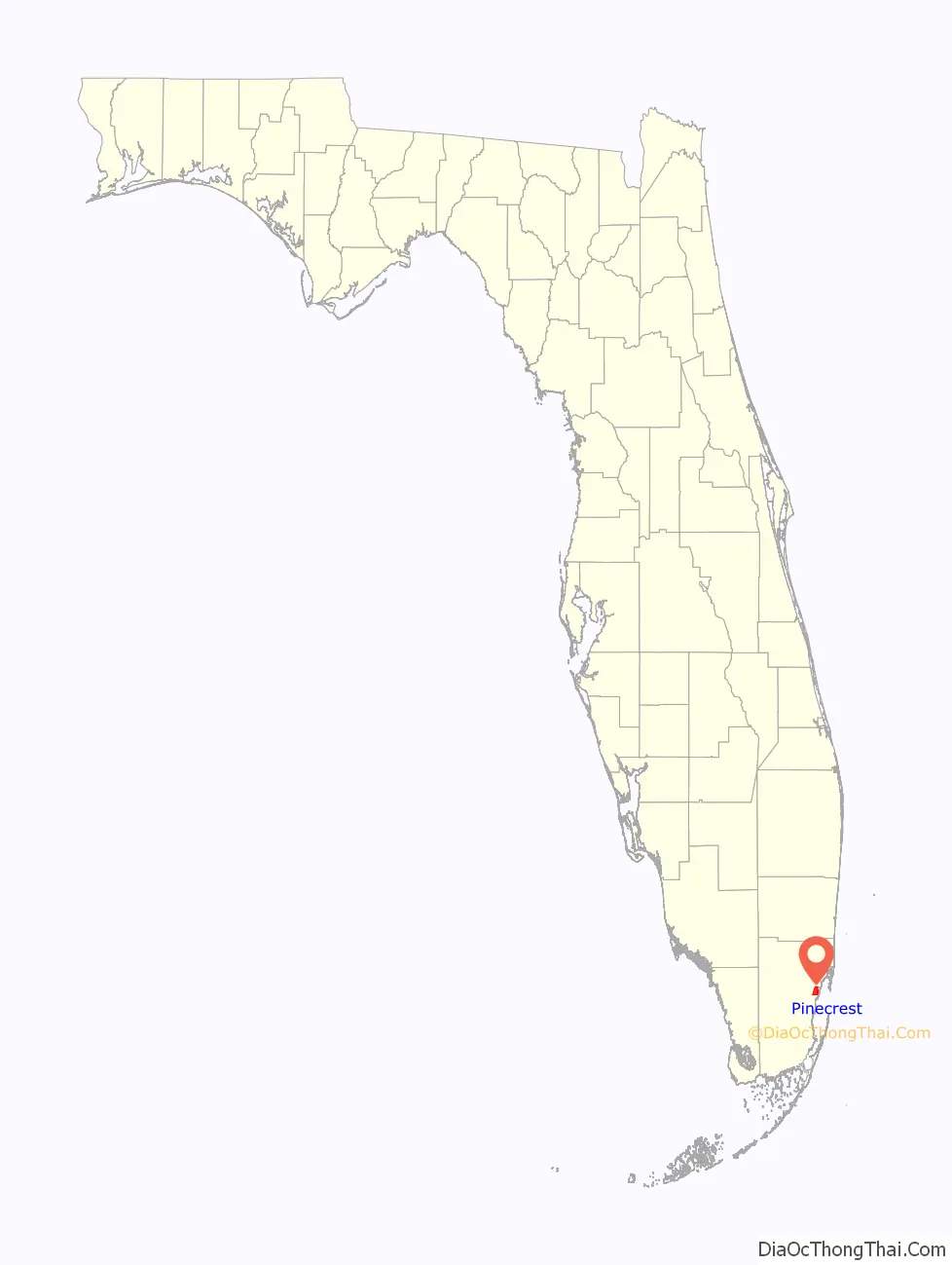
Pinecrest location map. Where is Pinecrest village?
History
During the 1900s, Miami pioneer and railroad tycoon Henry Flagler used the property at U.S. 1 and Southwest 102 Street as a staging area during the construction of the Overseas Railroad to the Florida Keys.
In the 1930s, the area’s growth continued and the community began to evolve around one of the first tourist attractions established in the Miami vicinity – Parrot Jungle and Gardens. Parrot Jungle was founded in 1936 by Franz and Louise Scherr on property located at Red Road and Southwest 111 Street and over the years has become a tourist attraction whose visitors included Winston Churchill. The idea for Parrot Jungle began after Scherr, who owned and operated a feed and supply store in Homestead, and became intrigued with the idea of building an attraction where birds would “fly free”. To bring his vision to life, he rented 20 acres (8.1 ha) of hammock land for an annual fee of $25 (equivalent to $476.92 in 2021). Parrot Jungle was built as a winding nature trail dug through the coral rock and hammock land, indigenous to the area. All the natural plants were left undisturbed. The entrance was built on Red Road. The attraction opened on December 20, 1936, to about 100 visitors. Each paid 25 cents admission to see and hear Scherr talk about his birds, trees and flowers. Since 1936, Parrot Jungle has attracted over a million visitors. On December 17, 2002, the Village of Pinecrest purchased the Parrot Jungle with the aim of developing the site as Pinecrest Gardens. On March 8, 2003, the Pinecrest Village Council dedicated Pinecrest Gardens and officially opened it to the public as the village’s newest municipal park. The attraction moved to a new waterfront location on Watson Island between downtown Miami and Miami Beach. It was relaunched as Parrot Jungle Island.
The Miami Serpentarium, a tourist attraction that featured snakes, lizards and other reptiles and amphibians, was located on US 1 for many decades prior to closing in the mid-1980s.
During the 1950s and 1960s, the area flourished with the development and construction of ranch-style houses on 1-acre (0.40 ha) lots which laid the foundation for the community’s rural and lushly landscaped residential character.
While still an unincorporated area of Miami-Dade County, what is now Pinecrest was the site of the 1986 FBI Miami shootout. The shootout took place near 12201 Southwest 82nd Avenue.
In August 1992, Pinecrest and the surrounding South Miami-Dade area were devastated by the effects of Hurricane Andrew. Many of the homes and businesses in the area were destroyed. In the subsequent years, the area was slowly rebuilt.
Rapid growth and local issues during the 1990s inspired a movement led by residents Evelyn Greer Langlieb and Gary C. Matzner to incorporate the area. The Village of Pinecrest was officially incorporated on March 12, 1996. Evelyn Greer was elected the first mayor and was succeeded, after serving two terms, by Matzner in 2004. The founding village council, including Greer, Cindie Blanck, Barry Blaxberg, Leslie Bowe, Robert Hingston, together with Village Manager Peter G. Lombardi and Village Clerk Guido Inguanzo, are credited with establishing well-regarded municipal services including police, parks and recreation, building and planning services, and public works.
Pinecrest Road Map
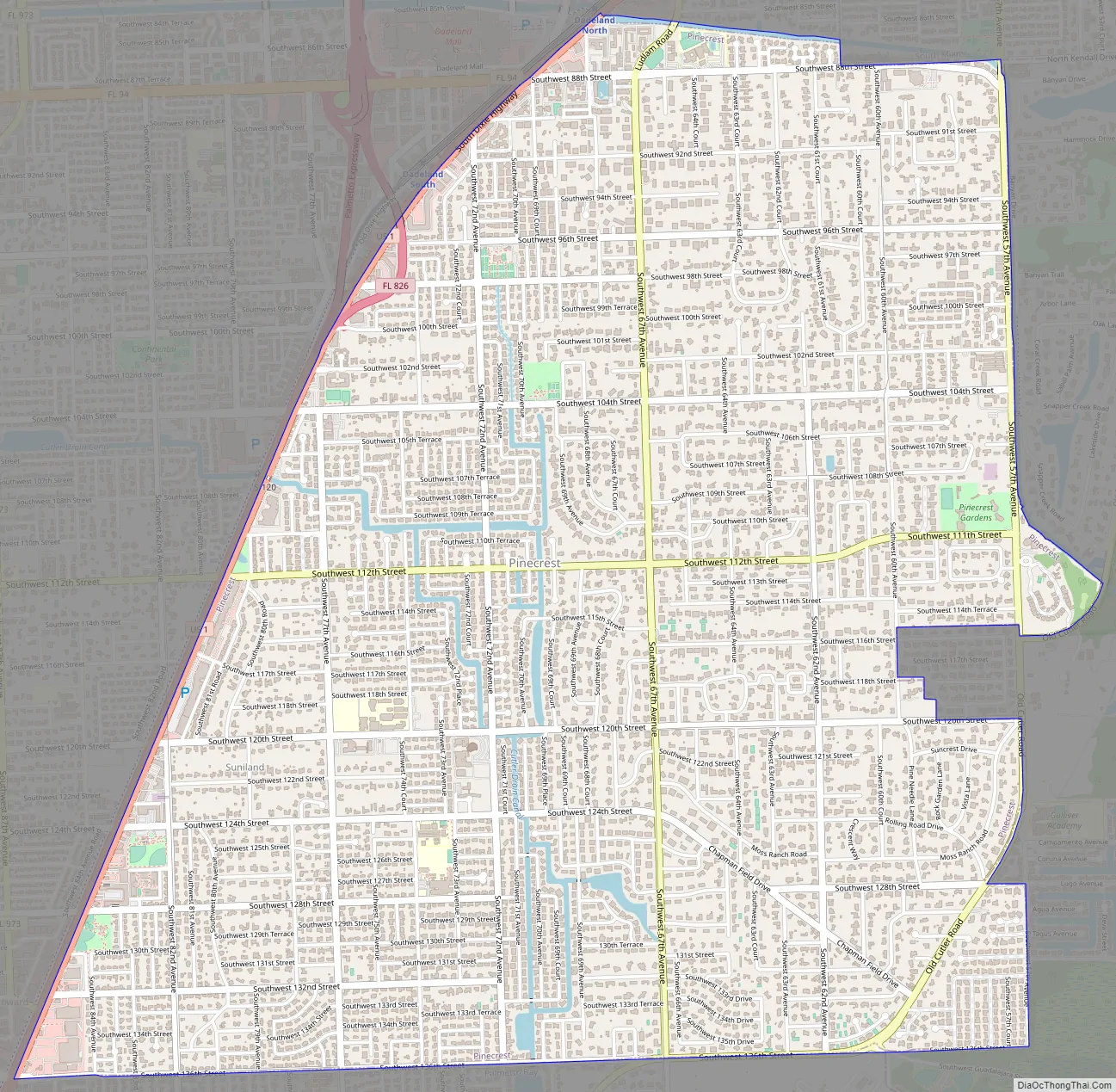
Pinecrest city Satellite Map

Geography
Pinecrest is located 11 miles (18 km) southwest of downtown Miami at 25°40′N 80°18′W / 25.667°N 80.300°W / 25.667; -80.300 (25.6619, −80.3076). U.S. Route 1 (Pinecrest Parkway) forms the western border of the village. Neighboring communities are Coral Gables to the east, South Miami to the north, Glenvar Heights to the northwest, Kendall to the west, and Palmetto Bay to the south.
According to the U.S. Census Bureau, the village has a total area of 7.54 square miles (19.5 km). 7.45 square miles (19.3 km) of it are land and 0.09 square miles (0.23 km), or 1.15%, are water.
See also
Map of Florida State and its subdivision:- Alachua
- Baker
- Bay
- Bradford
- Brevard
- Broward
- Calhoun
- Charlotte
- Citrus
- Clay
- Collier
- Columbia
- Desoto
- Dixie
- Duval
- Escambia
- Flagler
- Franklin
- Gadsden
- Gilchrist
- Glades
- Gulf
- Hamilton
- Hardee
- Hendry
- Hernando
- Highlands
- Hillsborough
- Holmes
- Indian River
- Jackson
- Jefferson
- Lafayette
- Lake
- Lee
- Leon
- Levy
- Liberty
- Madison
- Manatee
- Marion
- Martin
- Miami-Dade
- Monroe
- Nassau
- Okaloosa
- Okeechobee
- Orange
- Osceola
- Palm Beach
- Pasco
- Pinellas
- Polk
- Putnam
- Saint Johns
- Saint Lucie
- Santa Rosa
- Sarasota
- Seminole
- Sumter
- Suwannee
- Taylor
- Union
- Volusia
- Wakulla
- Walton
- Washington
- Alabama
- Alaska
- Arizona
- Arkansas
- California
- Colorado
- Connecticut
- Delaware
- District of Columbia
- Florida
- Georgia
- Hawaii
- Idaho
- Illinois
- Indiana
- Iowa
- Kansas
- Kentucky
- Louisiana
- Maine
- Maryland
- Massachusetts
- Michigan
- Minnesota
- Mississippi
- Missouri
- Montana
- Nebraska
- Nevada
- New Hampshire
- New Jersey
- New Mexico
- New York
- North Carolina
- North Dakota
- Ohio
- Oklahoma
- Oregon
- Pennsylvania
- Rhode Island
- South Carolina
- South Dakota
- Tennessee
- Texas
- Utah
- Vermont
- Virginia
- Washington
- West Virginia
- Wisconsin
- Wyoming


