| Name: | Montezuma County |
|---|---|
| FIPS code: | 08-083 |
| State: | Colorado |
| Founded: | April 16, 1889 |
| Named for: | Moctezuma II |
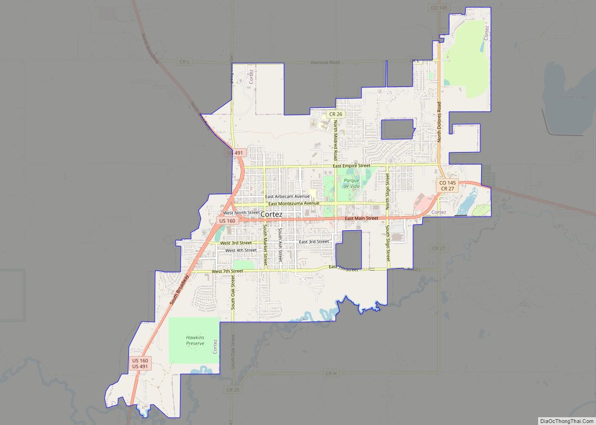
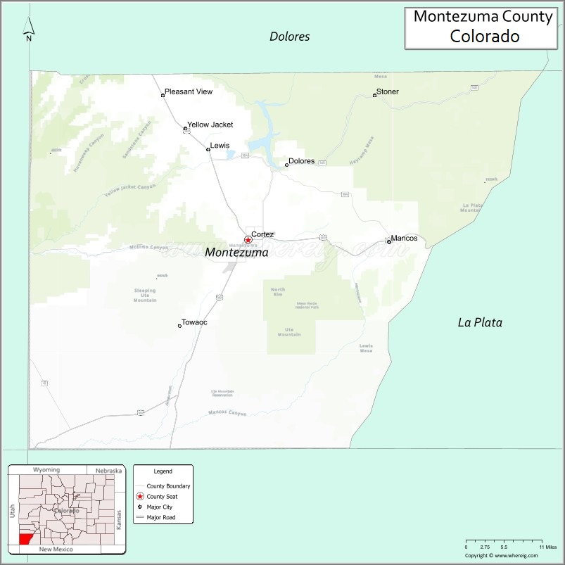
| Seat: | Cortez |
| Largest city: | Cortez |
| Total Area: | 2,040 sq mi (5,300 km²) |
| Land Area: | 2,030 sq mi (5,300 km²) |
| Total Population: | 26,175 |
| Population Density: | 13/sq mi (5/km²) |
| Time zone: | UTC−7 (Mountain) |
| Summer Time Zone (DST): | UTC−6 (MDT) |
| Website: | montezumacounty.org |
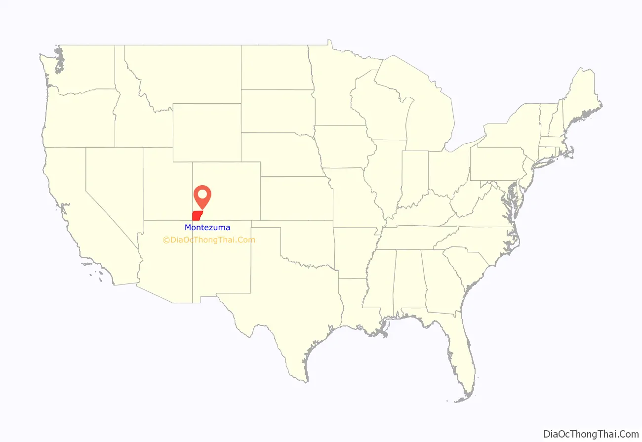
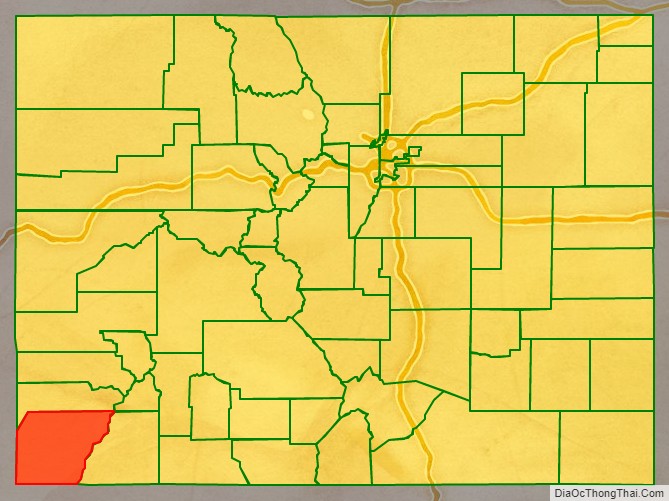
Montezuma County location map. Where is Montezuma County?
History
Montezuma County has been settled since approximately AD 600, and had an estimated population of approximately 100,000, four times its current population, in the 12th century. However, a series of events caused virtually all permanent settlements to be abandoned between 1200 and 1300, and the area was contested between nomadic Ute and Navajo bands until resettlement occurred in the 1870s. Montezuma County was created out of the western portion of La Plata County by the Colorado Legislature in April 1889. It was named in honor of Moctezuma II, who reigned as emperor of the Aztec Empire in Mexico during its decline at the hands of the Spanish invasion. The building ruins in Mesa Verde National Park were thought to be of Aztec origin at the time.
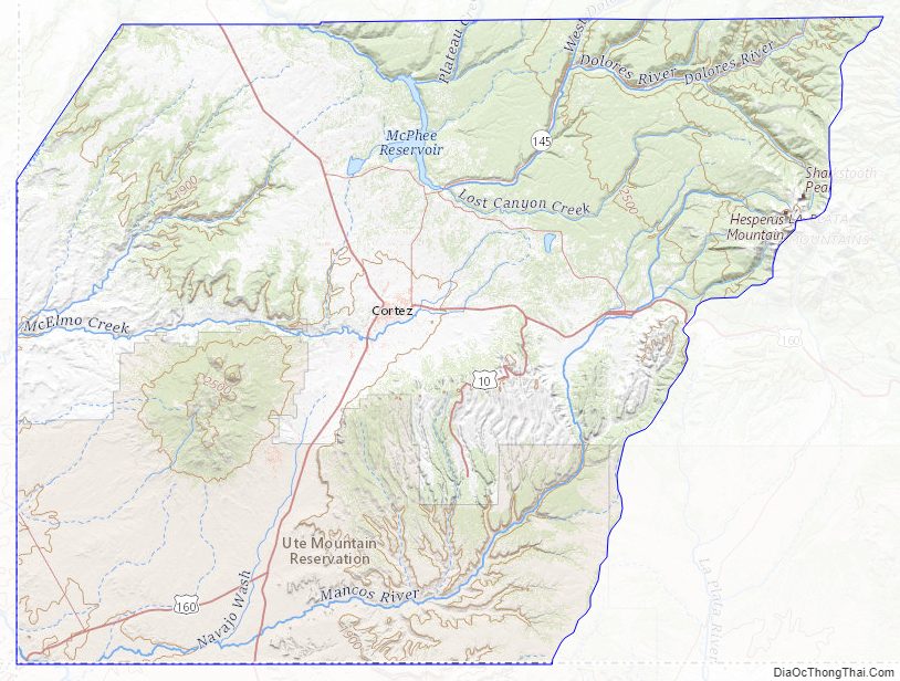
Montezuma County Road Map
Geography
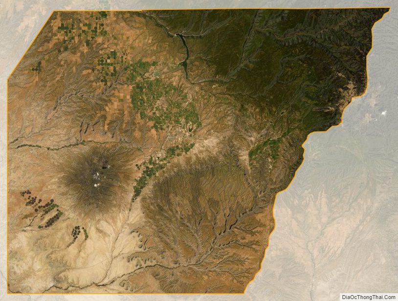
According to the U.S. Census Bureau, the county has a total area of 2,040 square miles (5,300 km), of which 2,030 square miles (5,300 km) is land and 11 square miles (28 km) (0.5%) is water.
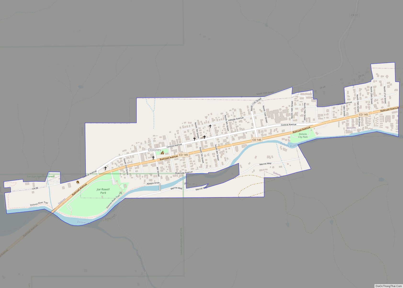
A large county, roughly 1/3 of its area is tribal land, 1/3 is federal land (administered by the National Park Service, the United States Forest Service and the Bureau of Land Management), and 1/3 private or state/county land. It is also varied topographically, ranging in elevation from about 6,000 feet (1,800 m) to more than 13,200 feet (4,000 m), and from high Colorado Plateau desert to alpine tundra. The county has the second largest reservoir in Colorado, McPhee Reservoir, many other large reservoirs, and hundreds of private lakes and ponds. Much of the county is irrigated cropland, and it produces fruit, large numbers of cattle and sheep, and beans. It is served by U.S. Highways 160 and 491 (formerly US 666), and by Cortez Municipal Airport. It has no rail service, although both Mancos and Dolores were established as railroad towns in the 1890s.
Adjacent counties
- Dolores County – north
- San Juan County – northeast
- La Plata County – east
- San Juan County, New Mexico – south – New Mexico portion of Four Corners.
- Apache County, Arizona – southwest – Arizona portion of Four Corners.
- San Juan County, Utah – west – Utah portion of Four Corners.
Montezuma County is the only county in the United States to border three counties with the same name in three different states (San Juan County in Colorado, New Mexico, and Utah). The “border” with San Juan County, Colorado, is, however, only a point of zero length.
Major Highways
- U.S. Highway 160
- U.S. Highway 491 (former US 666)
- State Highway 41
- State Highway 145
- State Highway 184
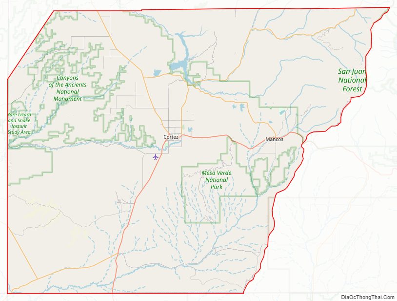
National protected areas
- Calico National Recreation Trail
- Canyons of the Ancients National Monument (part)
- Highline Loop National Recreation Trail
- Hovenweep National Monument (part)
- Lowry Ruin National Historic Landmark, now part of Canyons of the Ancients National Monument
- Mesa Verde National Park
- Mesa Verde Wilderness
- Old Spanish National Historic Trail
- Petroglyph Point National Recreation Trail
- San Juan National Forest
- Yucca House National Monument
State protected area
- Mancos State Park
Other protected area
- McPhee Reservoir
Trails and byways
- Great Parks Bicycle Route
- San Juan Skyway
- Trail of the Ancients
- Western Express Bicycle Route
Montezuma County Topographic Map
Montezuma County Satellite Map
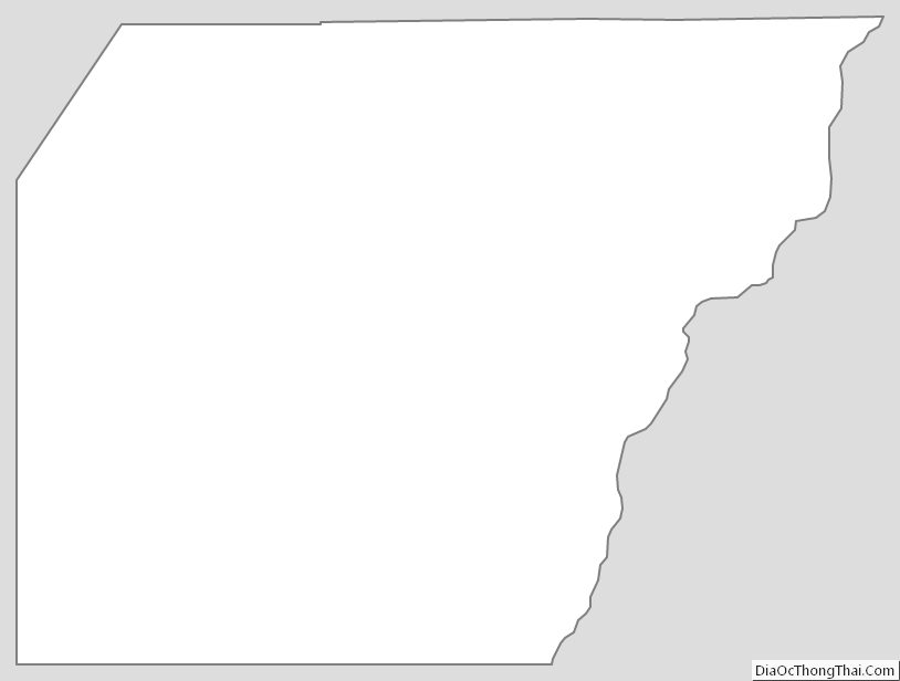
Montezuma County Outline Map