Bastrop is a city in Morehouse Parish, Louisiana. It is the parish seat of Morehouse Parish. The population was 11,365 at the 2010 census, a decrease of 1,623 from the 12,988 tabulation of 2000. The population of Bastrop is 73 percent African American. It is the principal city of and is included in the Bastrop, Louisiana Micropolitan Statistical Area, which is included in the Monroe-Bastrop, Louisiana Combined Statistical Area.
| Name: | Bastrop city |
|---|---|
| LSAD Code: | 25 |
| LSAD Description: | city (suffix) |
| State: | Louisiana |
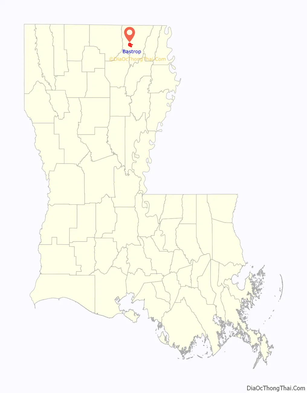
| County: | Morehouse Parish |
| Elevation: | 164 ft (50 m) |
| Total Area: | 8.56 sq mi (22.17 km²) |
| Land Area: | 8.56 sq mi (22.17 km²) |
| Water Area: | 0.00 sq mi (0.00 km²) |
| Total Population: | 9,691 |
| Population Density: | 1,132.39/sq mi (437.21/km²) |
| ZIP code: | 71220 |
| Area code: | 318 |
| FIPS code: | 2204685 |
| GNISfeature ID: | 1629913 |
| Website: | www.cityofbastrop.com |
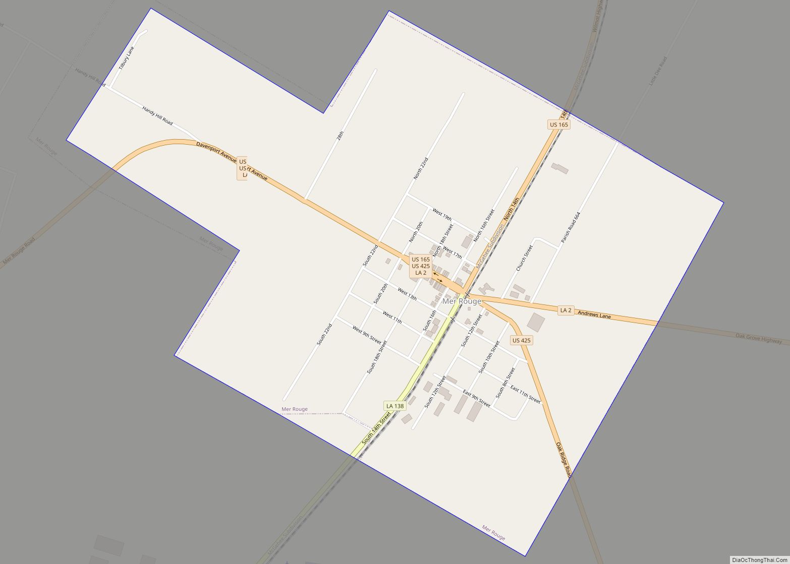
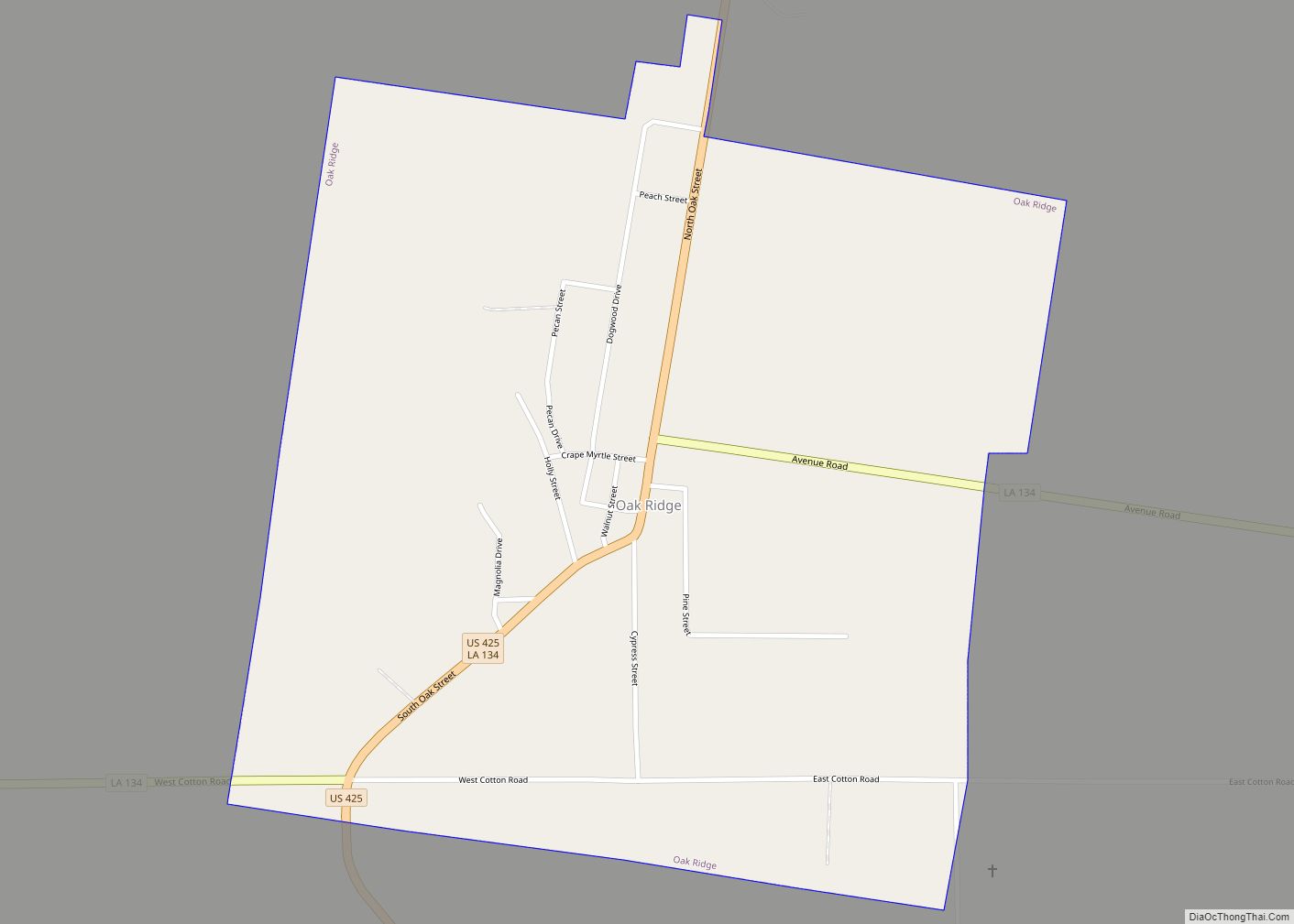
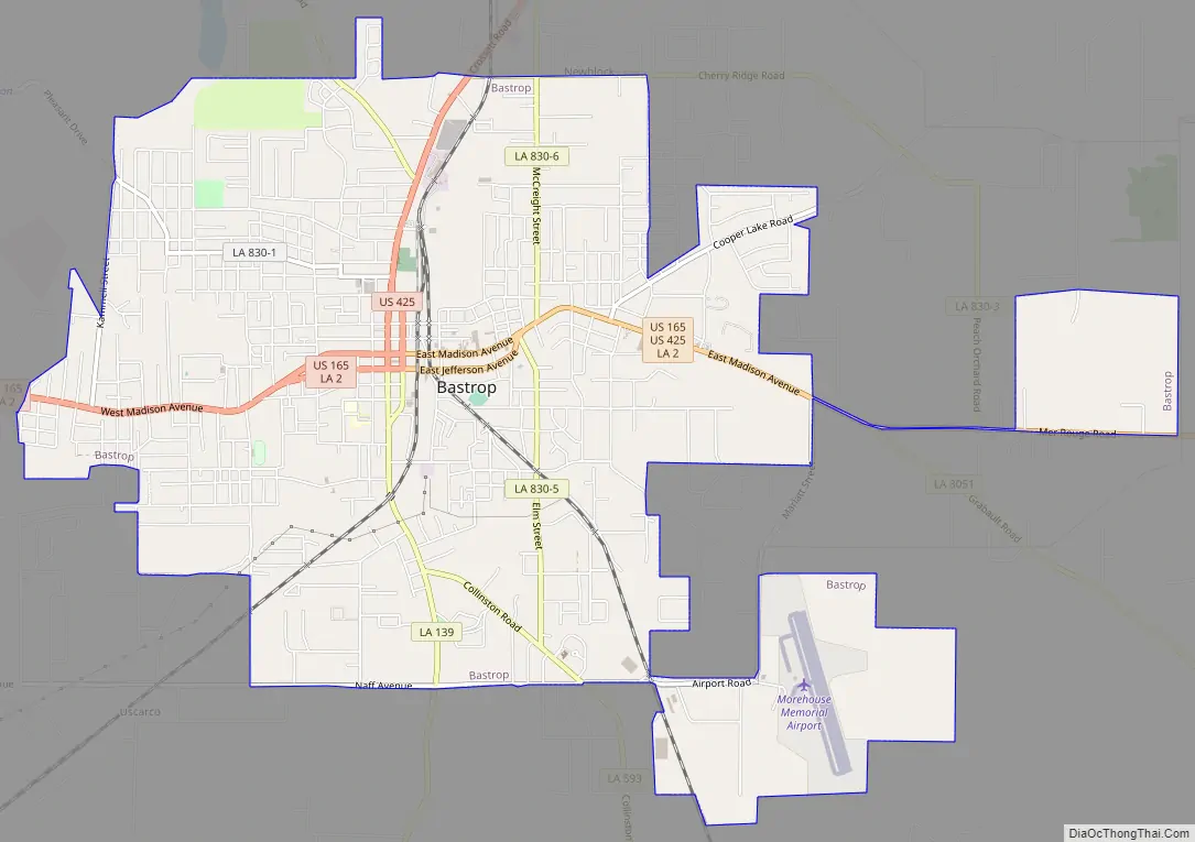
Online Interactive Map
Click on ![]() to view map in "full screen" mode.
to view map in "full screen" mode.
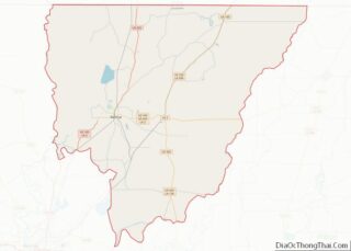
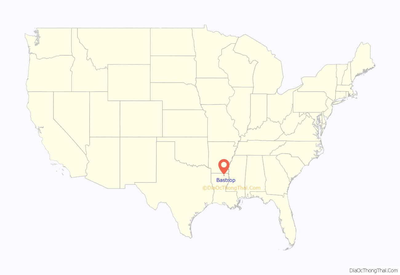
Bastrop location map. Where is Bastrop city?
History
Bastrop was founded by the Felipe Enrique Neri, Baron de Bastrop, a Dutch businessman accused as an embezzler. He had fled to the then Spanish colony of Louisiana to escape prosecution, and became involved in various land deals. In New Spain, he falsely claimed to be a nobleman. He received a large grant of land, provided that he could settle 450 families on it over the next several years. However, he was unable to do this, and so lost the grant. Afterwards, he moved to Texas, where he claimed to oppose the sale of Louisiana to the United States and became a minor government official. He proved instrumental in Moses Austin’s plan (and later, that of his son, Stephen F. Austin) to bring American colonists to what was then northern Mexico.
Bastrop formally incorporated in 1857, and is the commercial and industrial center of Morehouse Parish. In the 19th century, it was notable as the western edge of the great north Louisiana swamp, but more favorable terrain resulted in the antebellum rail line connecting to Monroe, Louisiana, further to the south.
Bastrop was a Confederate stronghold during the American Civil War until January 1865, when 3,000 cavalrymen led by Colonel Embury D. Osband of the 3rd United States Colored Cavalry Regiment, embarked from Memphis, Tennessee, for northeastern Louisiana.
During the Great Mississippi Flood of 1927, Bastrop was the site of a relief camp for refugees. During World War II, it was the site of a German prisoner-of-war camp.
Bastrop is also the parish seat of Morehouse Parish and is within an area marketed to tourists as the Sportsman’s Paradise Region of Louisiana. It is a Main Street Community and has received Transportation Enhancement funding for improvements in its historic district.
Celebrations and concerts are held in the historic downtown at the restored 1914 Morehouse Parish Courthouse and Rose Theater. Bastrop is home to the Snyder Museum and Creative Arts Center, housed in the circa 1929 home of a local family. Volunteers lead heritage appreciation tours for children and interpret the history of the parish using local artifacts.
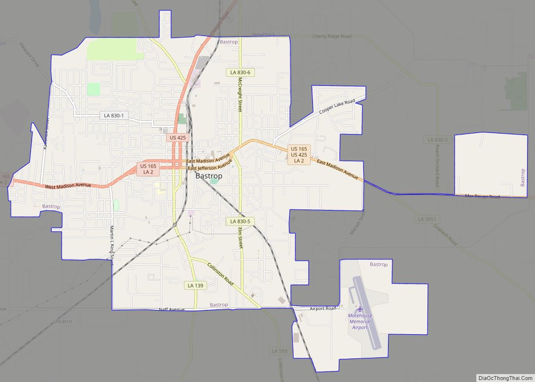
Bastrop Road Map
Bastrop city Satellite Map

Geography
Bastrop is located at 32°46′40″N 91°54′54″W / 32.77778°N 91.91500°W / 32.77778; -91.91500 (32.777855, −91.914944). It is situated at the crossroads of U.S. Highway 425 and U.S. Highway 165. La. Highway 2 and Louisiana Highway 139 also runs through the town. According to the United States Census Bureau, the city has a total area of 8.9 square miles (23 km), all land.
See also
Map of Louisiana State and its subdivision:- Acadia
- Allen
- Ascension
- Assumption
- Avoyelles
- Beauregard
- Bienville
- Bossier
- Caddo
- Calcasieu
- Caldwell
- Cameron
- Catahoula
- Claiborne
- Concordia
- De Soto
- East Baton Rouge
- East Carroll
- East Feliciana
- Evangeline
- Franklin
- Grant
- Iberia
- Iberville
- Jackson
- Jefferson
- Jefferson Davis
- La Salle
- Lafayette
- Lafourche
- Lincoln
- Livingston
- Madison
- Morehouse
- Natchitoches
- Orleans
- Ouachita
- Plaquemines
- Pointe Coupee
- Rapides
- Red River
- Richland
- Sabine
- Saint Bernard
- Saint Charles
- Saint Helena
- Saint James
- Saint John the Baptist
- Saint Landry
- Saint Martin
- Saint Mary
- Saint Tammany
- Tangipahoa
- Tensas
- Terrebonne
- Union
- Vermilion
- Vernon
- Washington
- Webster
- West Baton Rouge
- West Carroll
- West Feliciana
- Winn
- Alabama
- Alaska
- Arizona
- Arkansas
- California
- Colorado
- Connecticut
- Delaware
- District of Columbia
- Florida
- Georgia
- Hawaii
- Idaho
- Illinois
- Indiana
- Iowa
- Kansas
- Kentucky
- Louisiana
- Maine
- Maryland
- Massachusetts
- Michigan
- Minnesota
- Mississippi
- Missouri
- Montana
- Nebraska
- Nevada
- New Hampshire
- New Jersey
- New Mexico
- New York
- North Carolina
- North Dakota
- Ohio
- Oklahoma
- Oregon
- Pennsylvania
- Rhode Island
- South Carolina
- South Dakota
- Tennessee
- Texas
- Utah
- Vermont
- Virginia
- Washington
- West Virginia
- Wisconsin
- Wyoming