Nassau County is the northeasternmost county of the U.S. state of Florida. According to the 2020 United States Census, the county’s population was 90,352.
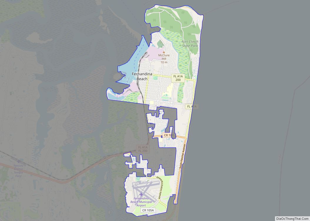
The county seat and the largest incorporated city is Fernandina Beach. Nassau County is part of the Jacksonville metropolitan area, which was home to 1,534,701 people in 2018. The county is situated in Northeast Florida with a land area of 726 square miles (1,880 km). Population growth in the county has increased by over 28,000 residents since the year 2000 as a result of Nassau’s proximity to downtown Jacksonville, new housing developments, agricultural production, tourism locations, and a diversifying tax base with new industrial and commercial companies moving to the county. Nassau County is also a popular choice of residence for military personnel stationed on bases in neighboring Duval County, Florida (Naval Air Station Jacksonville, Naval Station Mayport) and Camden County, Georgia (Naval Submarine Base Kings Bay).
| Name: | Nassau County |
|---|---|
| FIPS code: | 12-089 |
| State: | Florida |
| Founded: | December 29, 1824 |
| Named for: | Duchy of Nassau |
| Seat: | Fernandina Beach |
| Total Area: | 726 sq mi (1,880 km²) |
| Land Area: | 649 sq mi (1,680 km²) |
| Total Population: | 90,352 |
| Population Density: | 127/sq mi (49/km²) |
| Time zone: | UTC−5 (Eastern) |
| Summer Time Zone (DST): | UTC−4 (EDT) |
| Website: | www.nassaucountyfl.com |
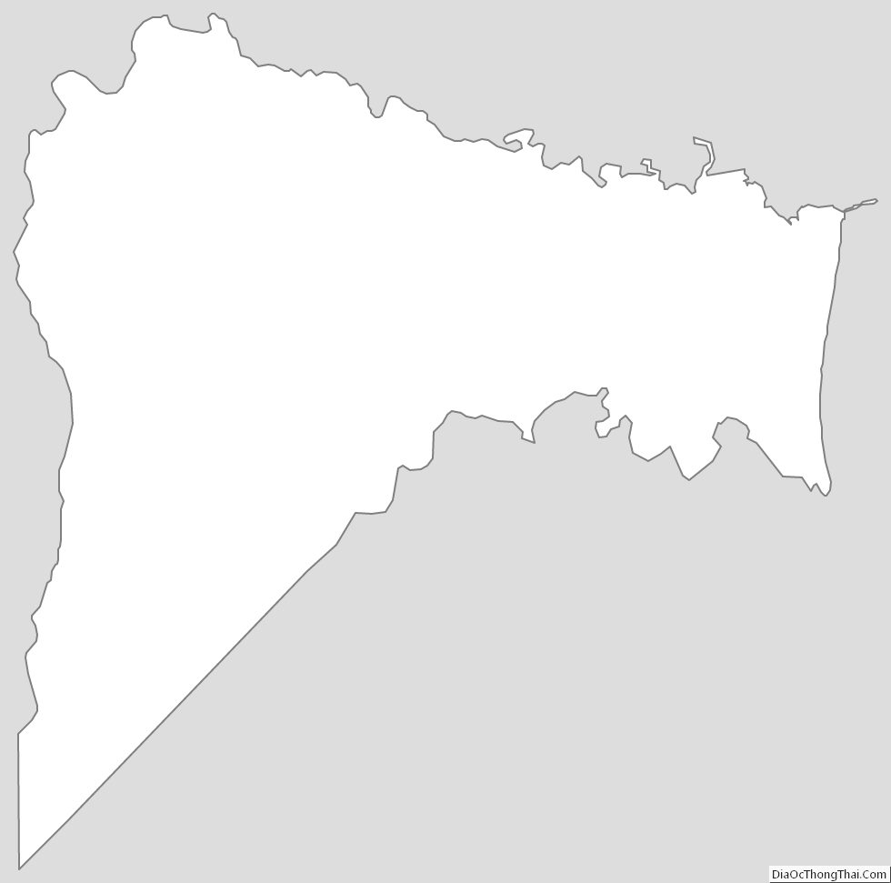
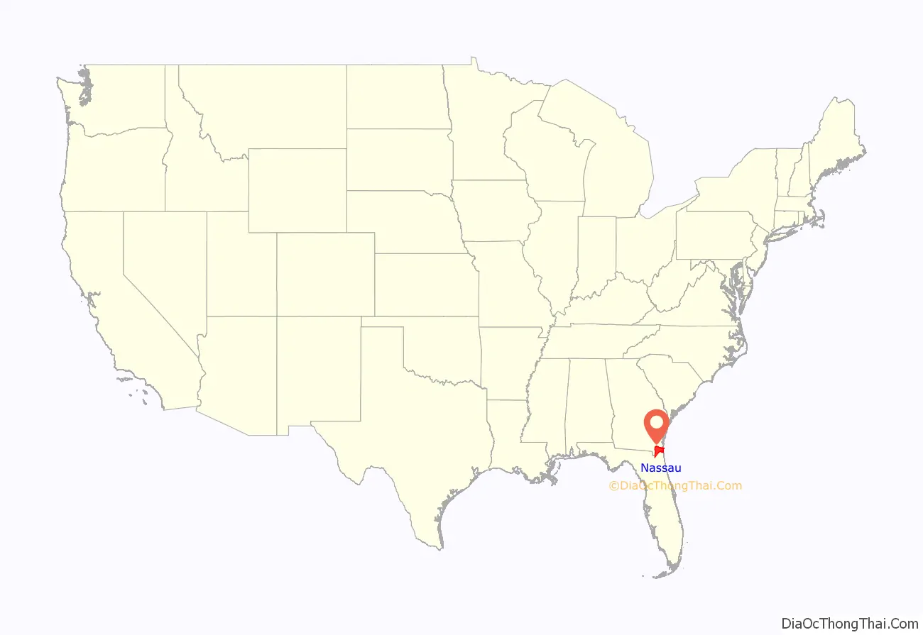
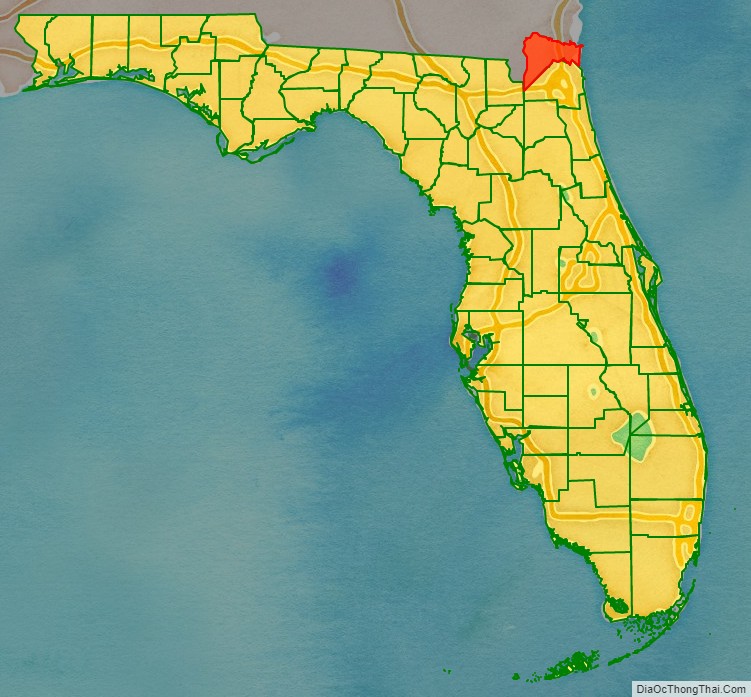
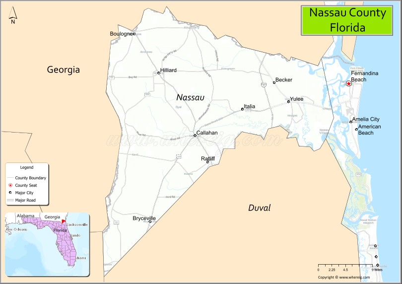
Nassau County location map. Where is Nassau County?
History
Nassau County was created in 1824 from Duval County. It was named for the Duchy of Nassau in Germany.
The ancestral and core coat of arms of Nassau
Coat of Arms for Nassau
The Battle of Alligator Bridge took place in Nassau County around Callahan on June 30, 1778, and was the only major engagement in an unsuccessful campaign to conquer British East Florida during the American Revolutionary War.
In 1817, the short-lived Republic of the Floridas was established on Amelia Island. It was one of several attempts to wrestle Florida from Spanish control into the growing United States.
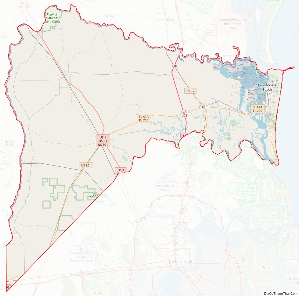
Nassau County Road Map
Geography
According to the U.S. Census Bureau, the county has an area of 726 square miles (1,880 km), of which 649 square miles (1,680 km) is land and 77 square miles (200 km) (10.6%) is water. The city of Fernandina Beach is on Amelia Island, the county’s one inhabited island. Fernandina Beach municipality extends across the Intracoastal Waterway along A1A to Yulee.
Topography
There are 12 distinct topographical zones in Nassau County. Most of these zones run in narrow bands stretching from north to south, although this is less true as one approaches the Atlantic coast.
- Directly against the western border with Baker County, the topography ranges from fairly flat to slightly elevated. Drainage is poor and the soil is sandy.
- Moving east, there are some areas (mostly in the northern and central county) of higher ground with much better drainage.
- East of these areas are some lower places, especially in the south, that are level and have extremely poor drainage.
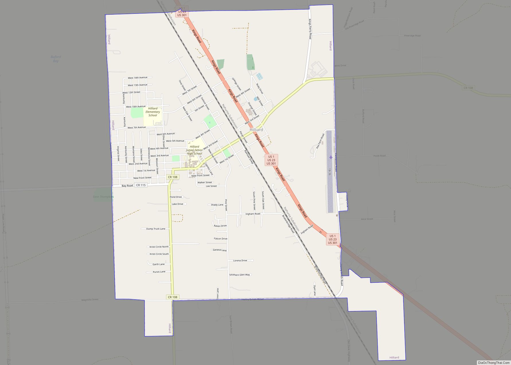
- Eastward again, there is a stretch that ranges from a few miles in the extreme northern areas to about 6-8 miles (13 km) wide in the southern area, including Hilliard and much of County Road 108 and State Road 301. This area again has very poor drainage, low-lying land, and fairly sandy soil.
- East of this are scattered areas of high, sandy land with spotty or poor drainage.
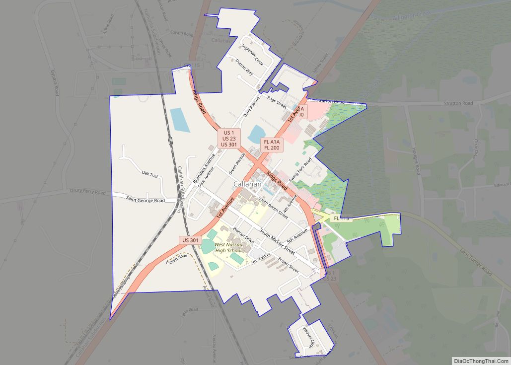
- East of this, there is an area including Callahan with very sandy soil on top, and clay underneath. This section of the county is heavily permeated by small creeks and rivers, which bring with them low, poorly drained soils. This zone extends across the entire county from north to south at a fairly consistent width of about 3-4 miles (6.4 km), except in the north, where it widens to nearly 6 miles (9.7 km) across.
- East of this area is a large band of land with a consistent width of about 8 miles (13 km). The land is low and level with extremely poor drainage, and it is permeated by small creeks and rivers. In the northern section, this is where some tributaries join the St. Marys River, while in the south a number of tributaries drain into the Nassau River, which flows into the Nassau Sound and the Atlantic Ocean.
- East of this area is a section of land about 3 miles (4.8 km) in width that has extremely sandy soils with bad drainage all around.
- Further eastward is a large area, including Yulee and O’Neil, about 4 miles (6.4 km) in width, with poor drainage and sandy soil at higher elevations, pockmarked by large areas of low lands with even worse drainage.
- To the south is an area of low-lying, organic soils which are essentially marshes and wetlands along the northern bank of the Nassau River, continuing into the Nassau Sound.
- Still eastward and somewhat to the north is a large area of marshes and organic soils which characterize area wetlands. There are many small islands in this area, and it is permeated by the Bells River and Jolly River, which empty into the Cumberland Sound to the north, just below Cumberland Island.
- Amelia Island, the easternmost section of the county, is characterized by poor drainage in the west and better drained, higher, sandier land as one travels eastward towards the beach. The northern area of the island features salty marshlands surrounding Egan’s Creek, which runs directly beneath Atlantic Boulevard in Fernandina Beach.
Adjacent counties
- Camden County, Georgia – north
- Duval County – south/east
- Baker County – southwest
- Charlton County, Georgia – west
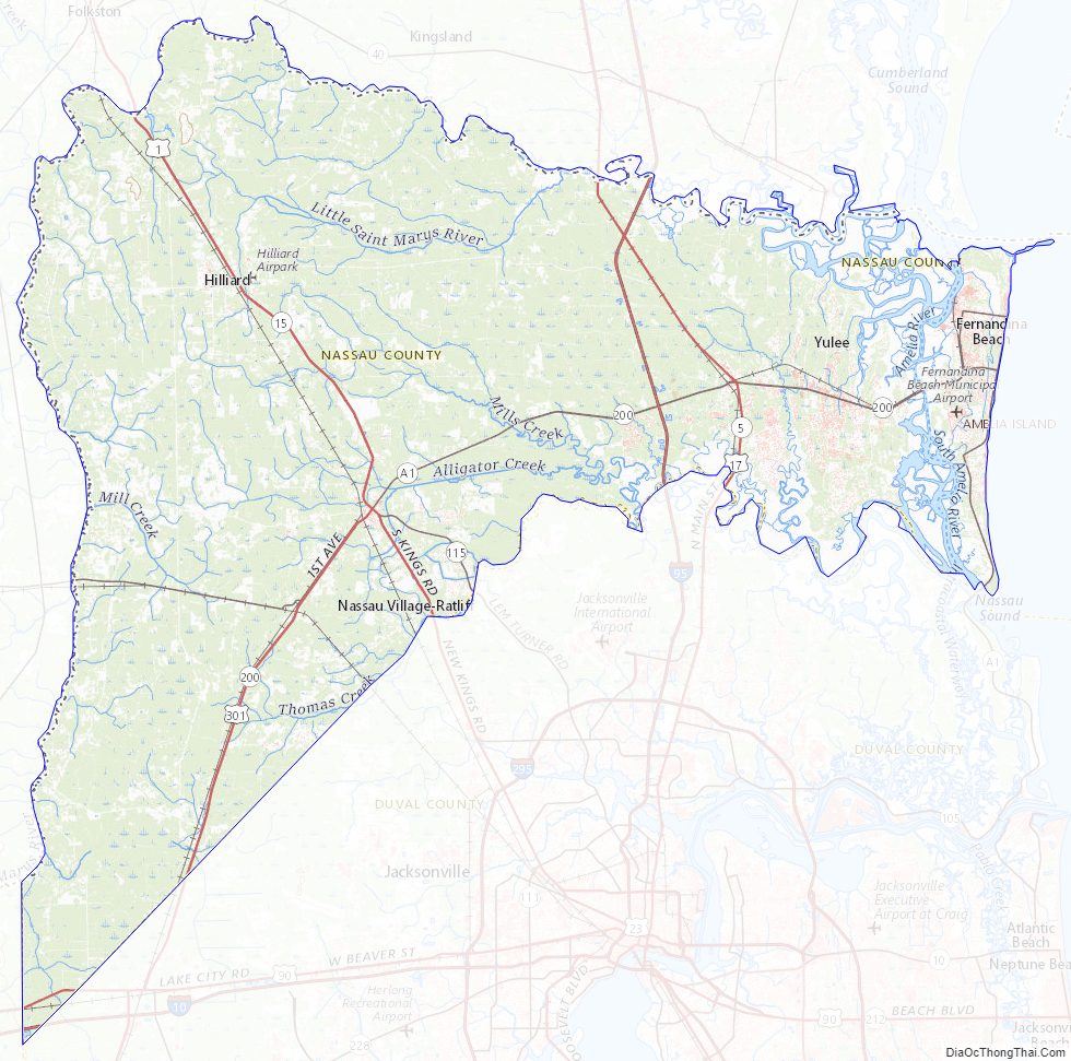
Nassau County Topographic Map
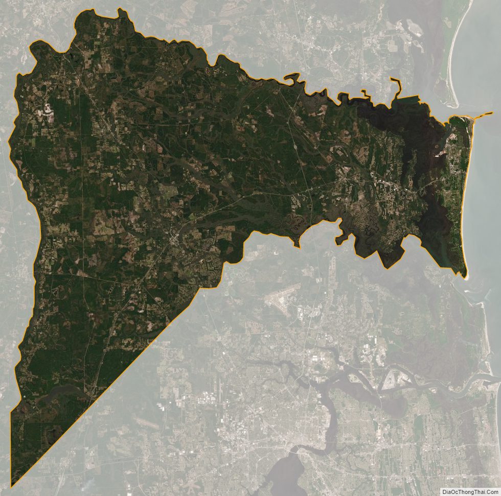
Nassau County Satellite Map
Nassau County Outline Map