Yulee is a Census County Division (CCD) in Nassau County, Florida, United States. It is situated in northeastern Florida, directly south of the Florida/Georgia state line (St. Marys River), and 24 miles north of downtown Jacksonville, Florida. The CCD’s population is currently 36,742 as of a 2021 U.S. Census Bureau survey. Yulee is part of the Jacksonville metropolitan area, which is home to approximately 1.68 million people as of 2022. Today, the Yulee CCD is a residential bedroom community for those who commute to Jacksonville, Naval Submarine Base Kings Bay, or other locations in Southeast Georgia, but is working to diversify its tax base.
Yulee is within 15 miles of Amelia Island and the Jacksonville International Airport and is home to the Florida State College at Jacksonville’s Nassau Center, the White Oak Conservation, two renown golf courses, the Nassau Wildlife Management Area, Robert M. Foster Justice Center, Four Creeks State Forest, the Yulee Branch Library, Nassau County Sheriff’s Office Headquarters, and the Florida Welcome Center on Interstate 95. In addition the Yulee CCD is provided regional services by the Jacksonville Transportation Authority.
| Name: | Yulee CDP |
|---|---|
| LSAD Code: | 57 |
| LSAD Description: | CDP (suffix) |
| State: | Florida |
| County: | Nassau County |
| Elevation: | 36 ft (11 m) |
| Total Area: | 23.18 sq mi (60.04 km²) |
| Land Area: | 23.16 sq mi (59.98 km²) |
| Water Area: | 0.02 sq mi (0.06 km²) |
| Total Population: | 36,742 |
| Population Density: | 612.94/sq mi (236.65/km²) |
| ZIP code: | 32041, 32097 |
| Area code: | 904 |
| FIPS code: | 1279175 |
| GNISfeature ID: | 0293610 |
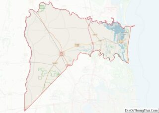
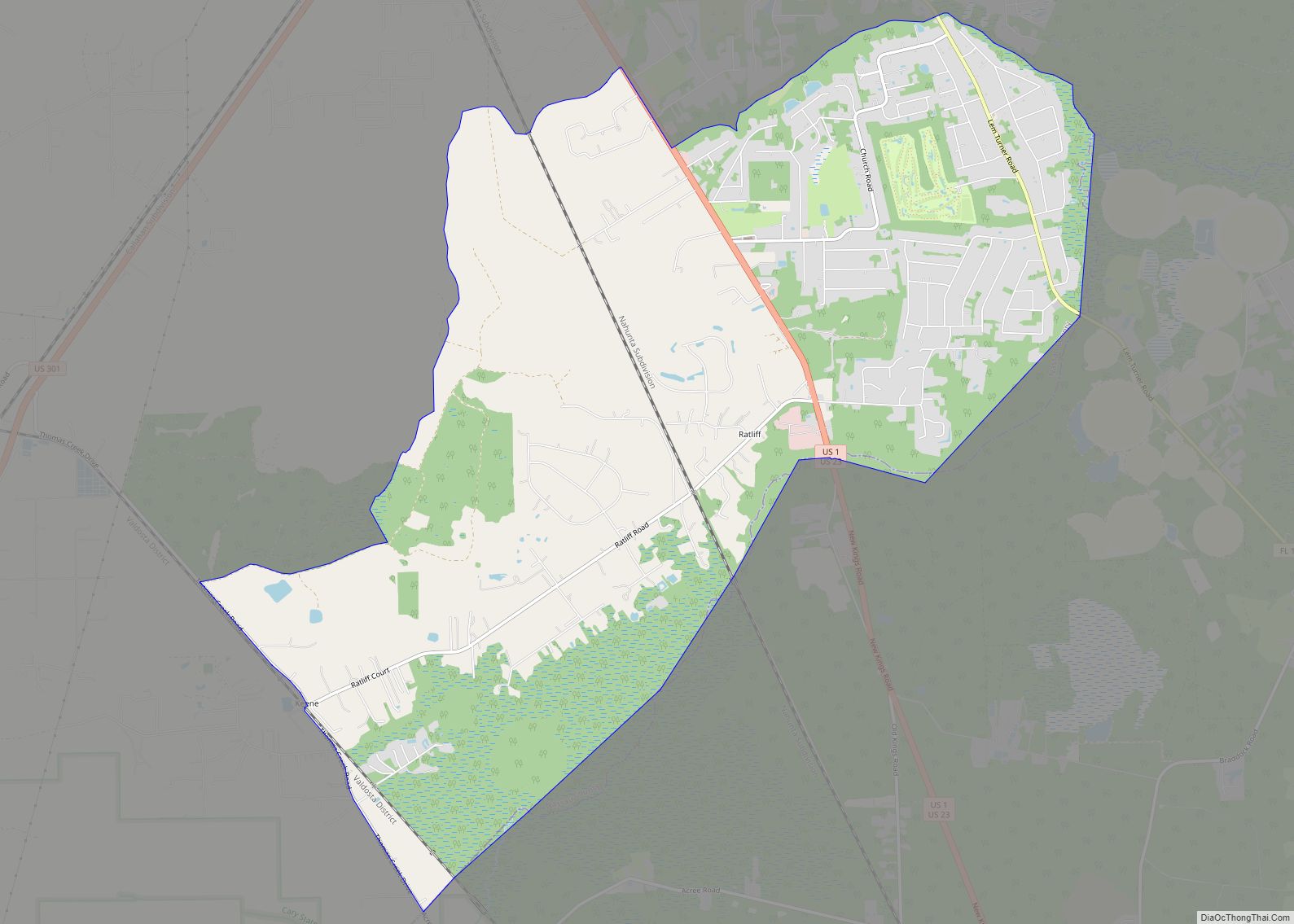
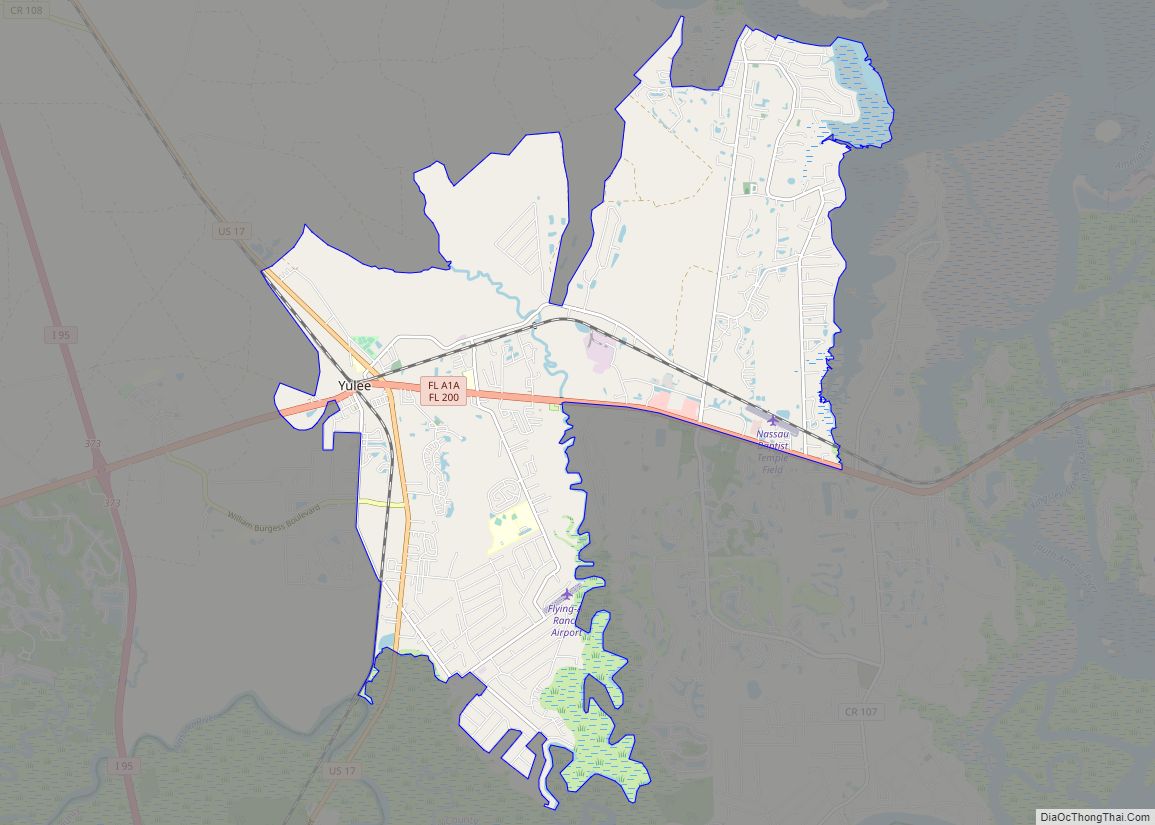
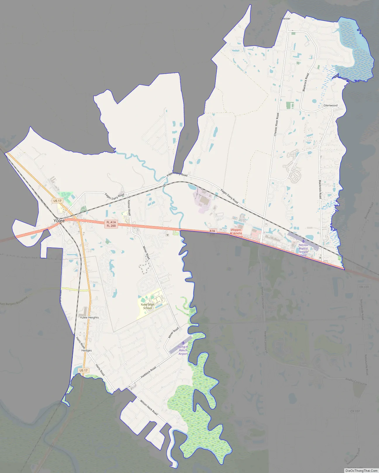
Online Interactive Map
Click on ![]() to view map in "full screen" mode.
to view map in "full screen" mode.
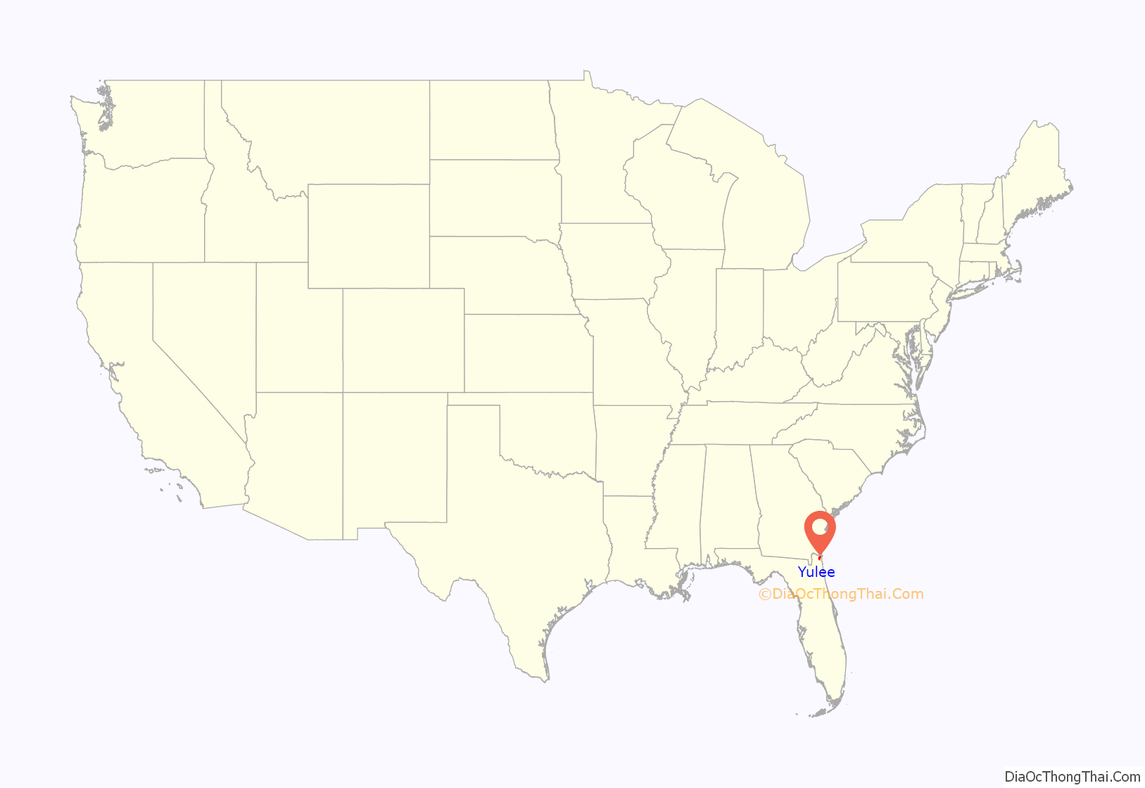
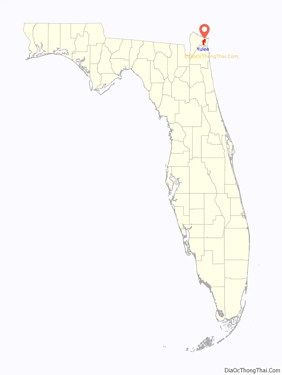
Yulee location map. Where is Yulee CDP?
History
A post office called Yulee has been in operation since 1893. The community was named for David Levy Yulee, a United States senator from Florida.
Yulee Road Map
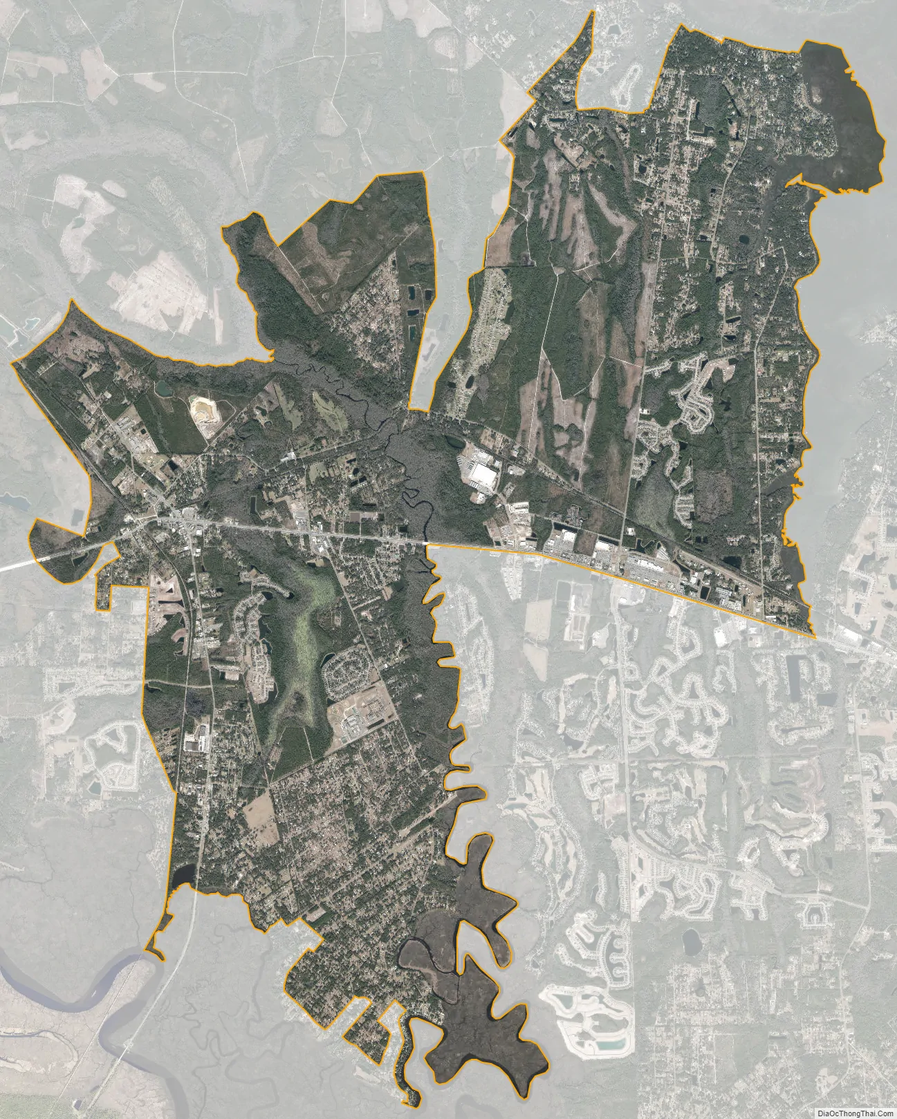
Yulee city Satellite Map
Geography
According to the Fernandina Observer, the Yulee CCD has a total area of 414.4 km (180.0 mi).
Neighborhoods
There are more than 10 neighborhoods within Yulee CCD.
- Blackmon/Haddock
- Heron Isles
- Hickory Village
- Hideaway and Pinewood Pointe
- Lofton Oaks
- North Hampton
- Meadowfield Bluffs
- Pirate’s Wood
- Plummers Creek
- River Glen
- Timber Creek Plantation
- Blackrock
- Wilson Neck
- Yulee Hills
- Flood Acres
- Roses Bluff
- Chester
Area code
The Yulee CCD is covered by area code:
- 904
ZIP codes
The Yulee CCD is covered by several ZIP codes:
- 32041
- 32097
- 32034 – which it shares with Fernandina Beach/Amelia Island
Other unincorporated communities
- Nassauville
- O’Neil
See also
Map of Florida State and its subdivision:- Alachua
- Baker
- Bay
- Bradford
- Brevard
- Broward
- Calhoun
- Charlotte
- Citrus
- Clay
- Collier
- Columbia
- Desoto
- Dixie
- Duval
- Escambia
- Flagler
- Franklin
- Gadsden
- Gilchrist
- Glades
- Gulf
- Hamilton
- Hardee
- Hendry
- Hernando
- Highlands
- Hillsborough
- Holmes
- Indian River
- Jackson
- Jefferson
- Lafayette
- Lake
- Lee
- Leon
- Levy
- Liberty
- Madison
- Manatee
- Marion
- Martin
- Miami-Dade
- Monroe
- Nassau
- Okaloosa
- Okeechobee
- Orange
- Osceola
- Palm Beach
- Pasco
- Pinellas
- Polk
- Putnam
- Saint Johns
- Saint Lucie
- Santa Rosa
- Sarasota
- Seminole
- Sumter
- Suwannee
- Taylor
- Union
- Volusia
- Wakulla
- Walton
- Washington
- Alabama
- Alaska
- Arizona
- Arkansas
- California
- Colorado
- Connecticut
- Delaware
- District of Columbia
- Florida
- Georgia
- Hawaii
- Idaho
- Illinois
- Indiana
- Iowa
- Kansas
- Kentucky
- Louisiana
- Maine
- Maryland
- Massachusetts
- Michigan
- Minnesota
- Mississippi
- Missouri
- Montana
- Nebraska
- Nevada
- New Hampshire
- New Jersey
- New Mexico
- New York
- North Carolina
- North Dakota
- Ohio
- Oklahoma
- Oregon
- Pennsylvania
- Rhode Island
- South Carolina
- South Dakota
- Tennessee
- Texas
- Utah
- Vermont
- Virginia
- Washington
- West Virginia
- Wisconsin
- Wyoming