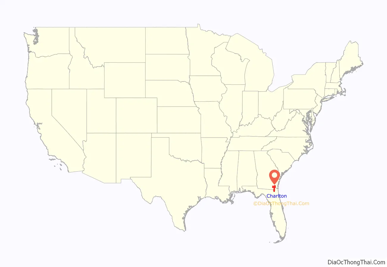
Charlton County is the southernmost county of the U.S. state of Georgia, located in the southeastern part of the state. As of the 2020 census, the population was 12,518. The county seat is Folkston.
| Name: | Charlton County |
|---|---|
| FIPS code: | 13-049 |
| State: | Georgia |
| Founded: | 1854 |
| Named for: | Robert M. Charlton |
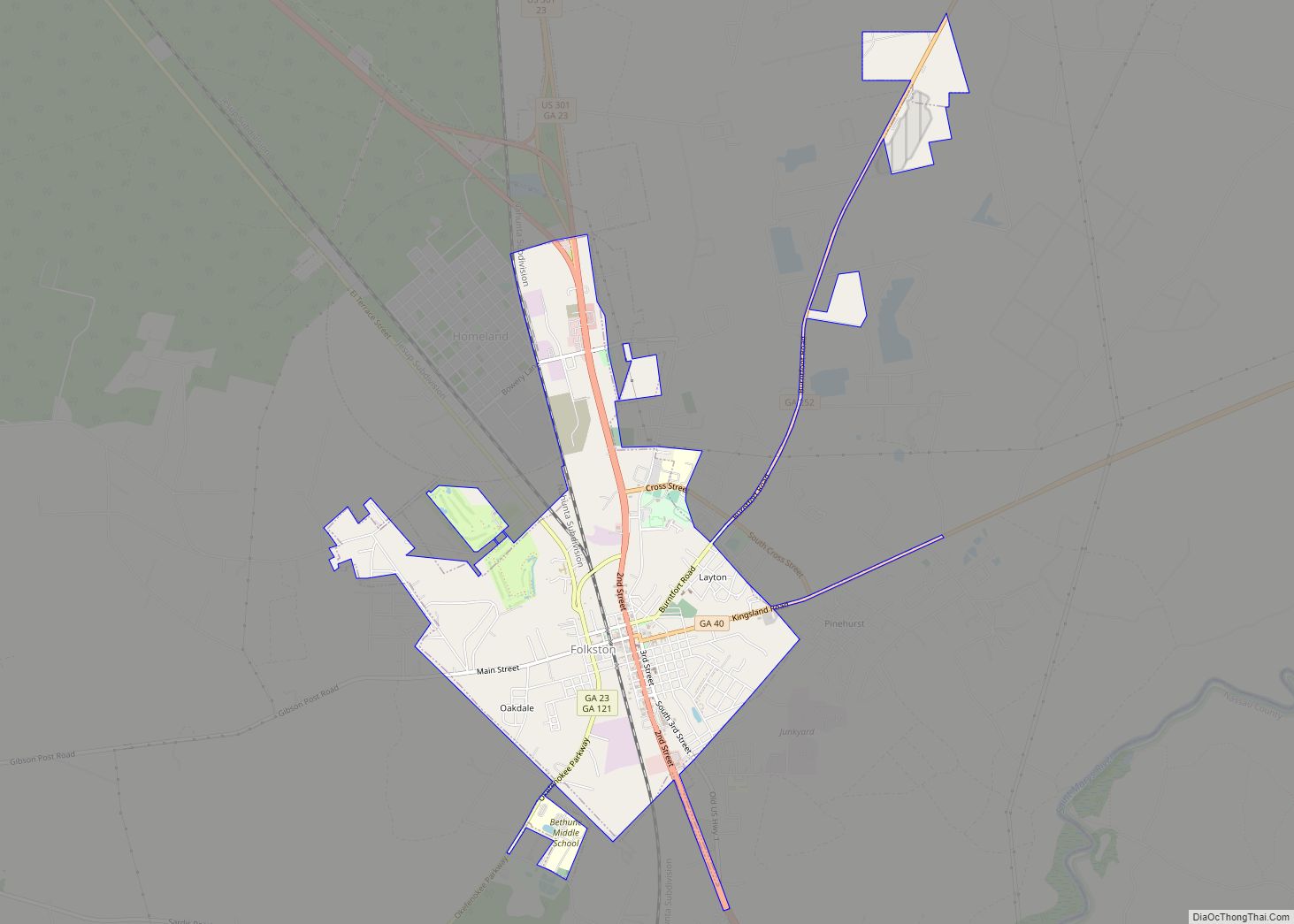
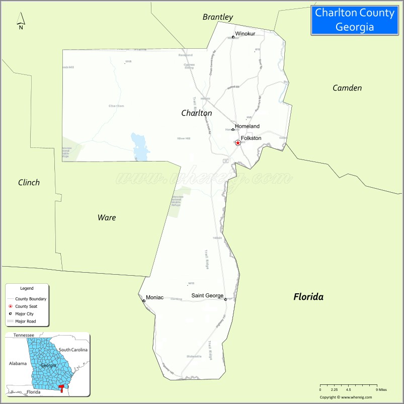
| Seat: | Folkston |
| Largest city: | Folkston |
| Total Area: | 782 sq mi (2,030 km²) |
| Land Area: | 774 sq mi (2,000 km²) |
| Total Population: | 13,392 |
| Population Density: | 16.4/sq mi (6.3/km²) |
| Time zone: | UTC−5 (Eastern) |
| Summer Time Zone (DST): | UTC−4 (EDT) |
| Website: | www.charltoncountyga.us |
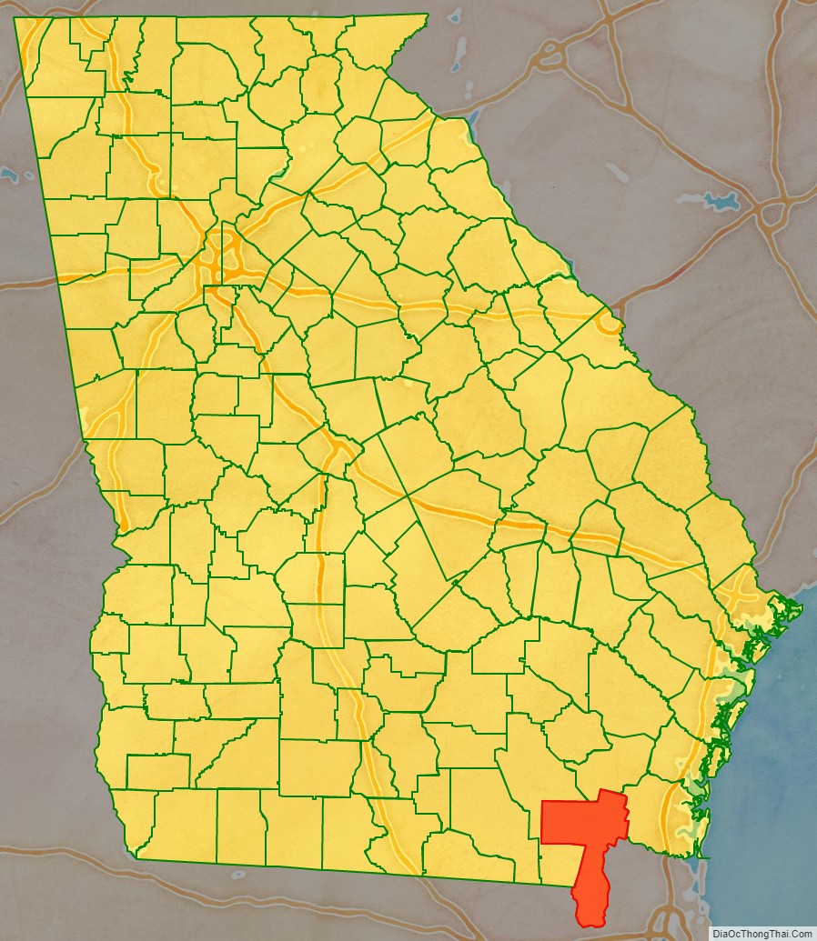
Charlton County location map. Where is Charlton County?
History
Georgia, by an act of the Georgia General Assembly on February 18, 1854. The original county seat was at Trader’s Hill, until 1901. Additional lands from Ware County, Georgia, were added to Charlton’s borders by an 1855 act of the General Assembly. In 1856, an additional legislative act redefined the Charlton–Camden borders again with each county ceding land to the other.
The county is named for Robert Milledge Charlton, a U. S. Senator from Georgia.
Charlton County Road Map
Geography
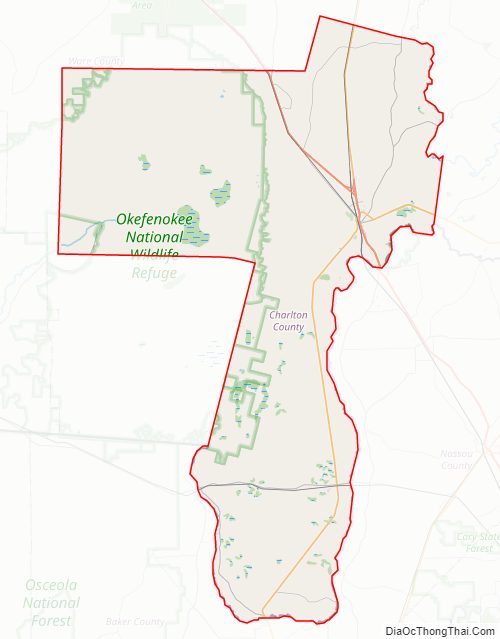
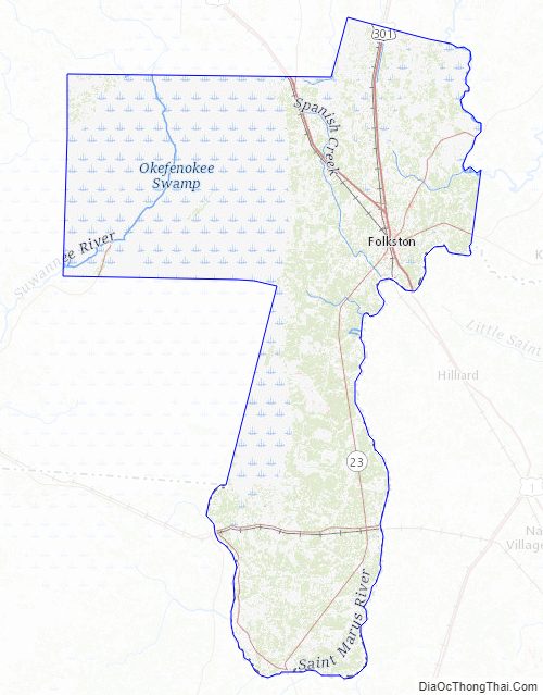
According to the U.S. Census Bureau, the county has a total area of 782 square miles (2,030 km), of which 774 square miles (2,000 km) is land and 8.8 square miles (23 km) (1.1%) is water. It is the fifth-largest county by area in Georgia. It is the southernmost county in Georgia. A large portion of the county lies within the Okefenokee Swamp and its federally protected areas.
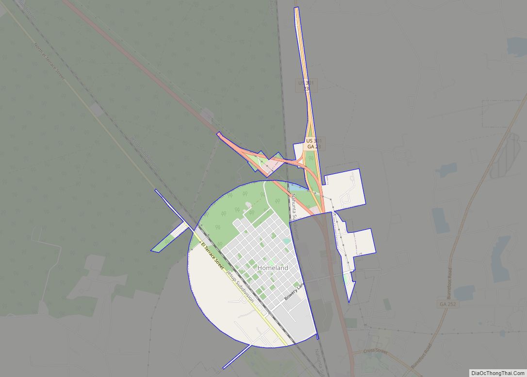
The entire central and southern portion of Charlton County is located in the St. Marys sub-basin of the St. Marys-Satilla basin. The county’s northeastern portion, north of Homeland, is located in the Satilla River sub-basin of the St. Marys-Satilla basin. The western portion of Charlton County is located in the Upper Suwannee River sub-basin of the larger Suwannee River basin. The country’s southern region is level with the northernmost part of the central and eastern Panhandle of the Florida peninsula.
Major highways
- U.S. Route 1
- U.S. Route 23
- U.S. Route 301
- State Route 4
- State Route 15
- State Route 23
- State Route 40
- State Route 40 Connector
- State Route 94
- State Route 121
- State Route 177
- State Route 185
- State Route 252
Adjacent counties
- Brantley County – northeast
- Nassau County, Florida – east
- Camden County – east
- Baker County, Florida – south
- Ware County – northwest
National protected area
- Okefenokee National Wildlife Refuge (part)
Charlton County Topographic Map
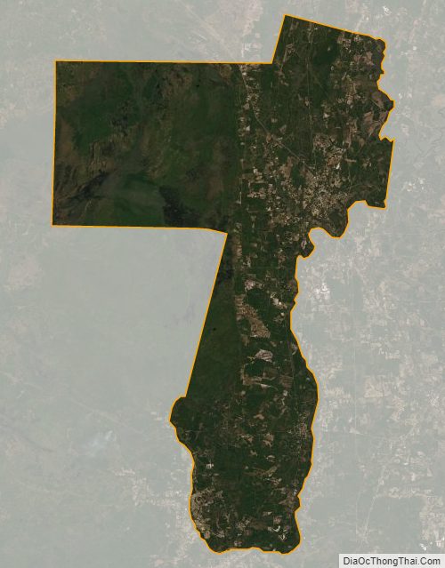
Charlton County Satellite Map
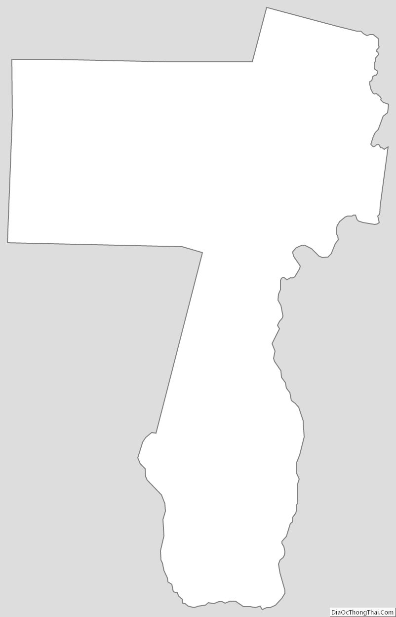
Charlton County Outline Map