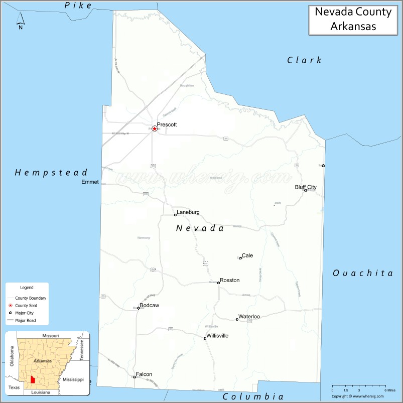
Nevada County /nəˈveɪ.də/ is a county located in the southwestern part of the U.S. state of Arkansas. As of the 2020 census, the population was 8,310, less than half of its peak in 1920. The county seat is Prescott. Nevada County is Arkansas’s 63rd county, formed during the Reconstruction era on March 20, 1871, from portions of Hempstead, Ouachita and Columbia counties. It was named after the state of Nevada because of the perceived similarity between their physical shapes; the Arkansas county’s shape, inverted, roughly follows the same outline as the state’s boundary. It is an alcohol prohibition or dry county.
Dorcheat Bayou, a 122-mile stream, begins in Nevada County. It flows south into Columbia County and across the border into Webster Parish, Louisiana, where it flows into Lake Bistineau and ultimately Loggy Bayou, forming a continuous passage to the Red River. In the 19th century, the bayou was navigable for three to six months by steamboat from Bistineau to Minden. The watershed had fertile farmland, timberland and swampland. The bayou is now popular for fishing and its natural environment.
| Name: | Nevada County |
|---|---|
| FIPS code: | 05-099 |
| State: | Arkansas |
| Founded: | March 20, 1871 |
| Named for: | state of Nevada |
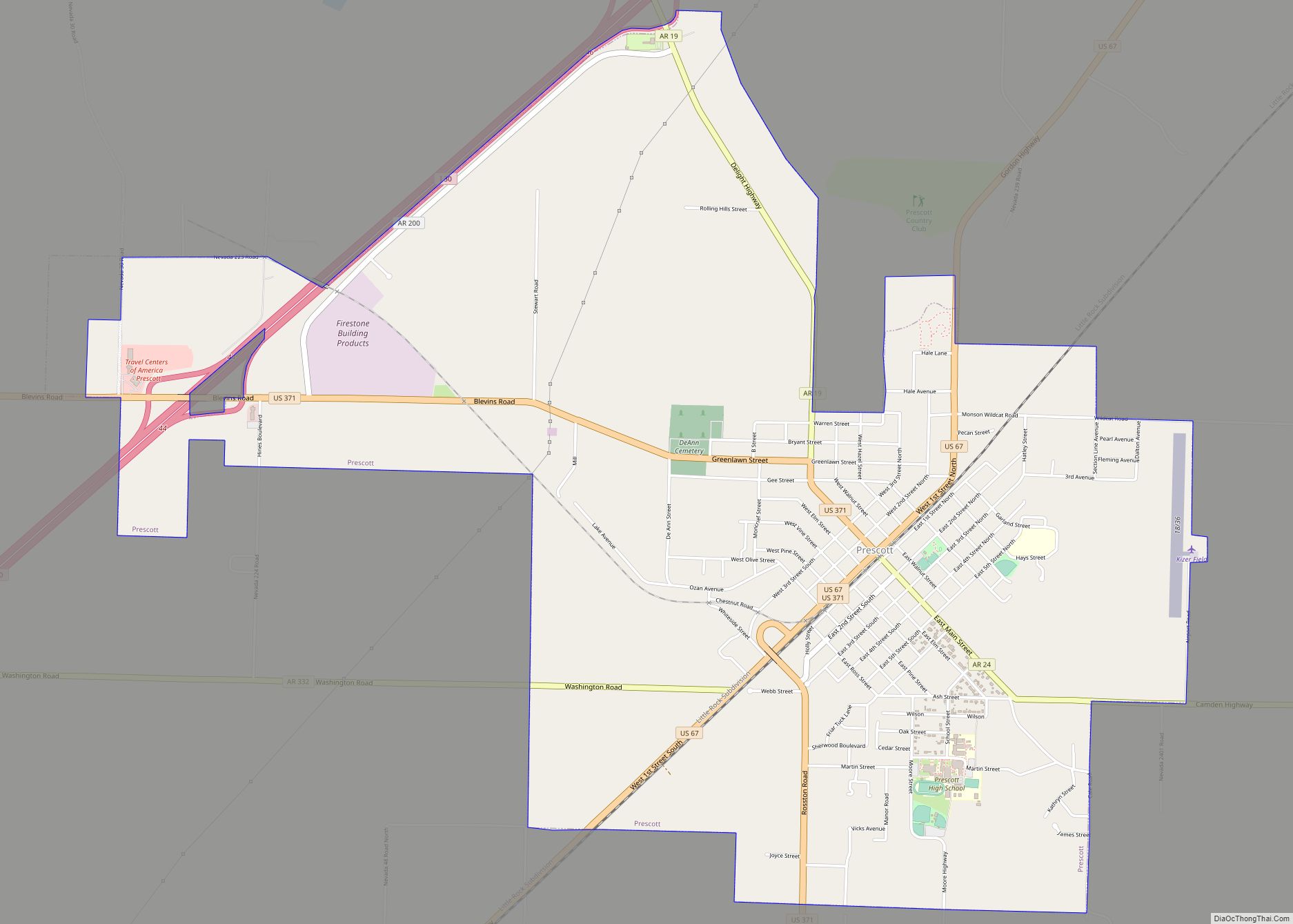
| Seat: | Prescott |
| Largest city: | Prescott |
| Total Area: | 621 sq mi (1,610 km²) |
| Land Area: | 618 sq mi (1,600 km²) |
| Total Population: | 8,310 |
| Population Density: | 13/sq mi (5.2/km²) |
| Time zone: | UTC−6 (Central) |
| Summer Time Zone (DST): | UTC−5 (CDT) |
| Website: | nevadacounty.arkansas.gov |
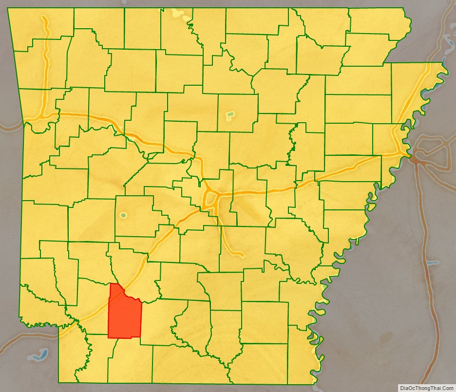
Nevada County location map. Where is Nevada County?

History
This area was historically occupied by members of the Caddoan Confederacy, whose territory extended into present-day Texas and Louisiana. They settled along the waterways, using them for transportation and fishing. Colonial French and later European-American settlers also took over lands along the waterways, which formed their basic transportation routes well into the 19th century. After the Congress repealed Prohibition in the early 20th century, Nevada County voted to retain it and the county is still “dry.”
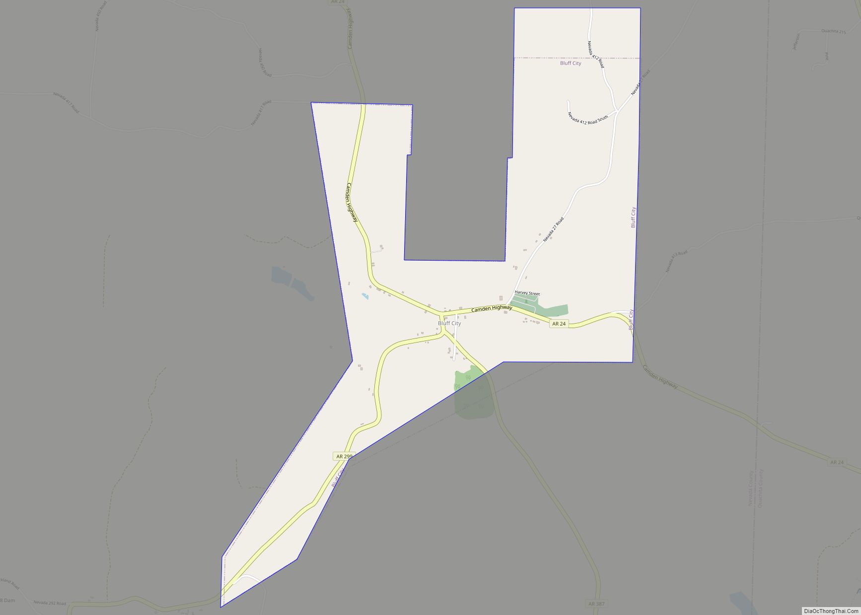
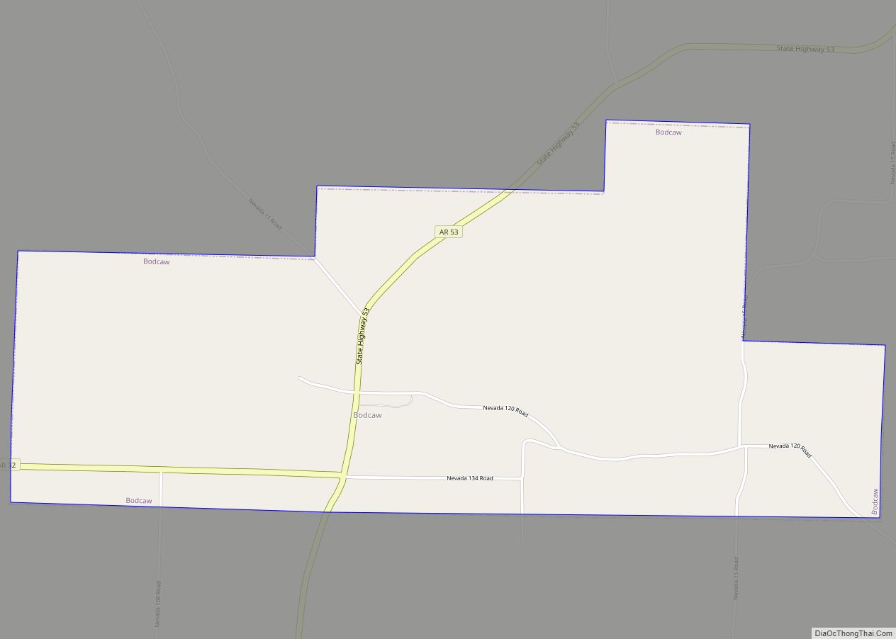
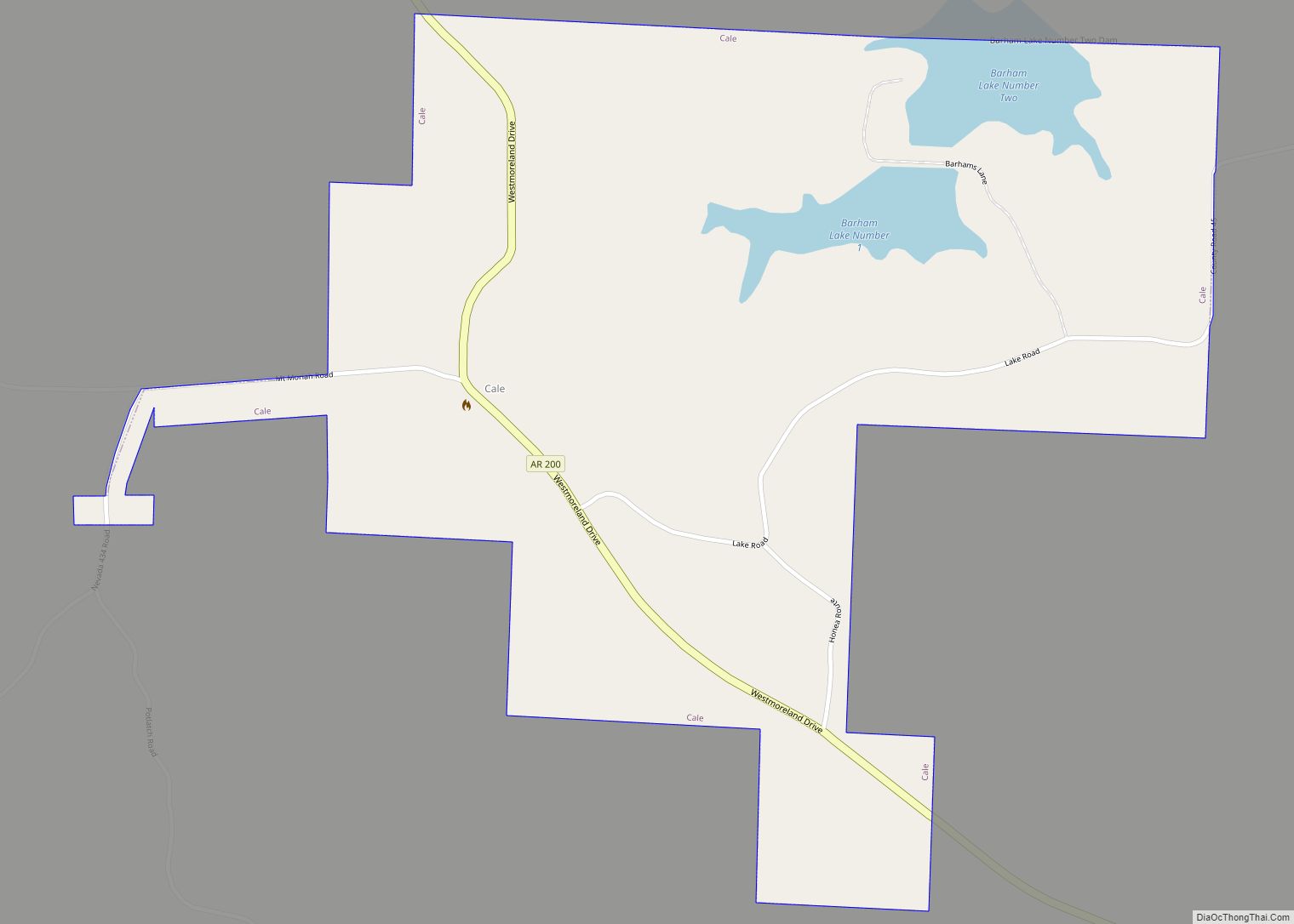
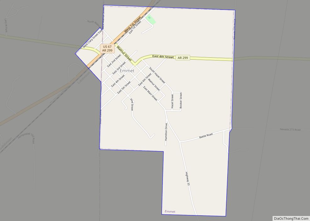
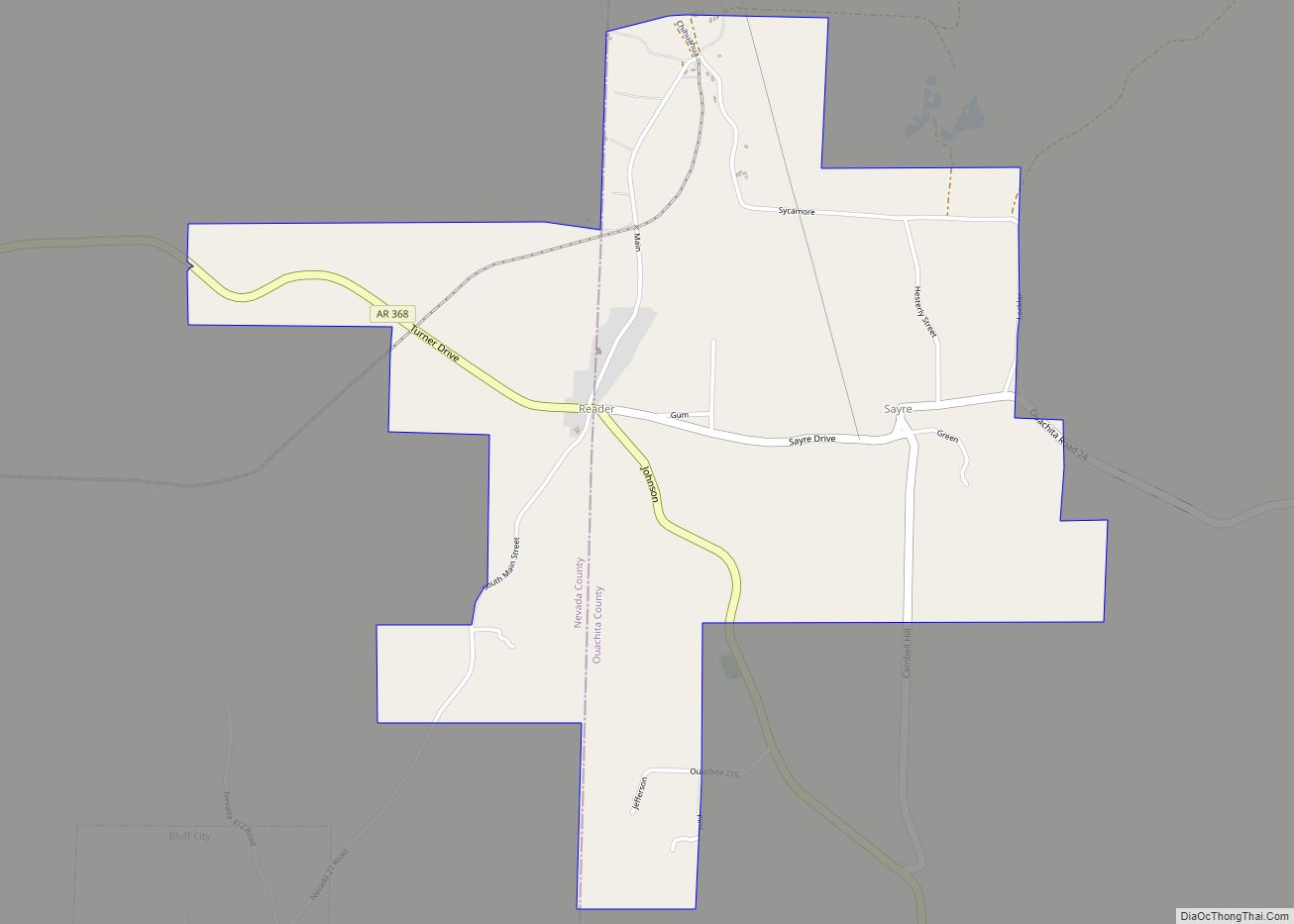
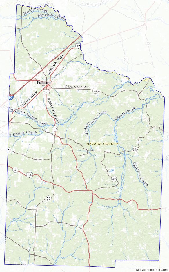
Nevada County Road Map
Geography
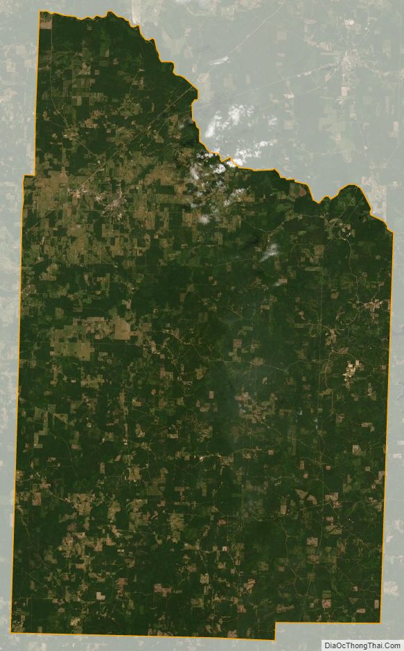
According to the U.S. Census Bureau, the county has a total area of 621 square miles (1,610 km), of which 618 square miles (1,600 km) is land and 2.8 square miles (7.3 km) (0.5%) is water. The county is bounded on the north by the Little Missouri River, a branch of the Ouachita River, and drained by several tributaries of that stream and of Red River. Nevada County is alternately considered as part of the greater regions of South Arkansas or Southwest Arkansas.
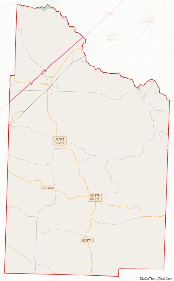
Major highways
- Interstate 30
- U.S. Highway 67
- U.S. Highway 278
- U.S. Highway 371
- Highway 19
- Highway 24
- Highway 32
- Highway 51
- Highway 53
Adjacent counties
- Clark County (northeast)
- Ouachita County (east)
- Columbia County (south)
- Lafayette County (southwest)
- Hempstead County (west)
- Pike County (northwest)
Nevada County Topographic Map
Nevada County Satellite Map
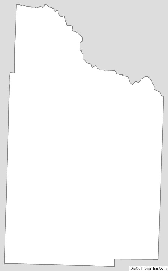
Nevada County Outline Map