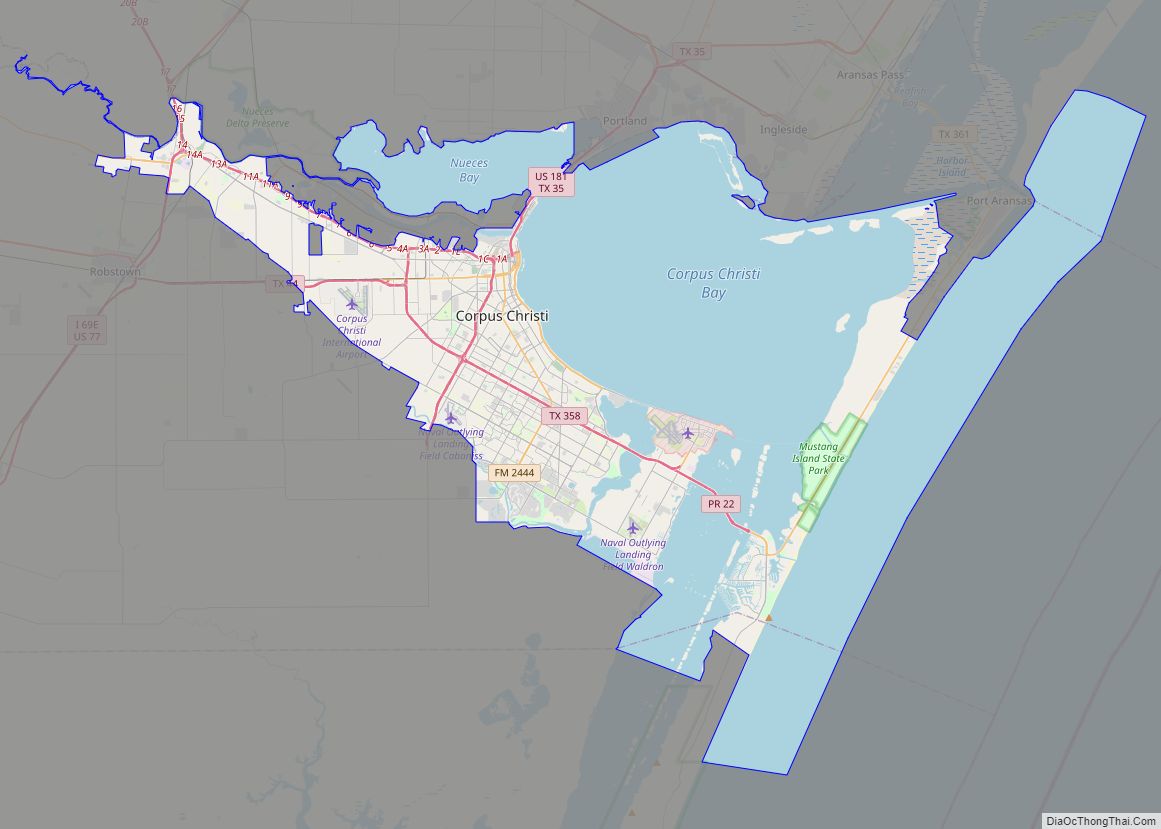
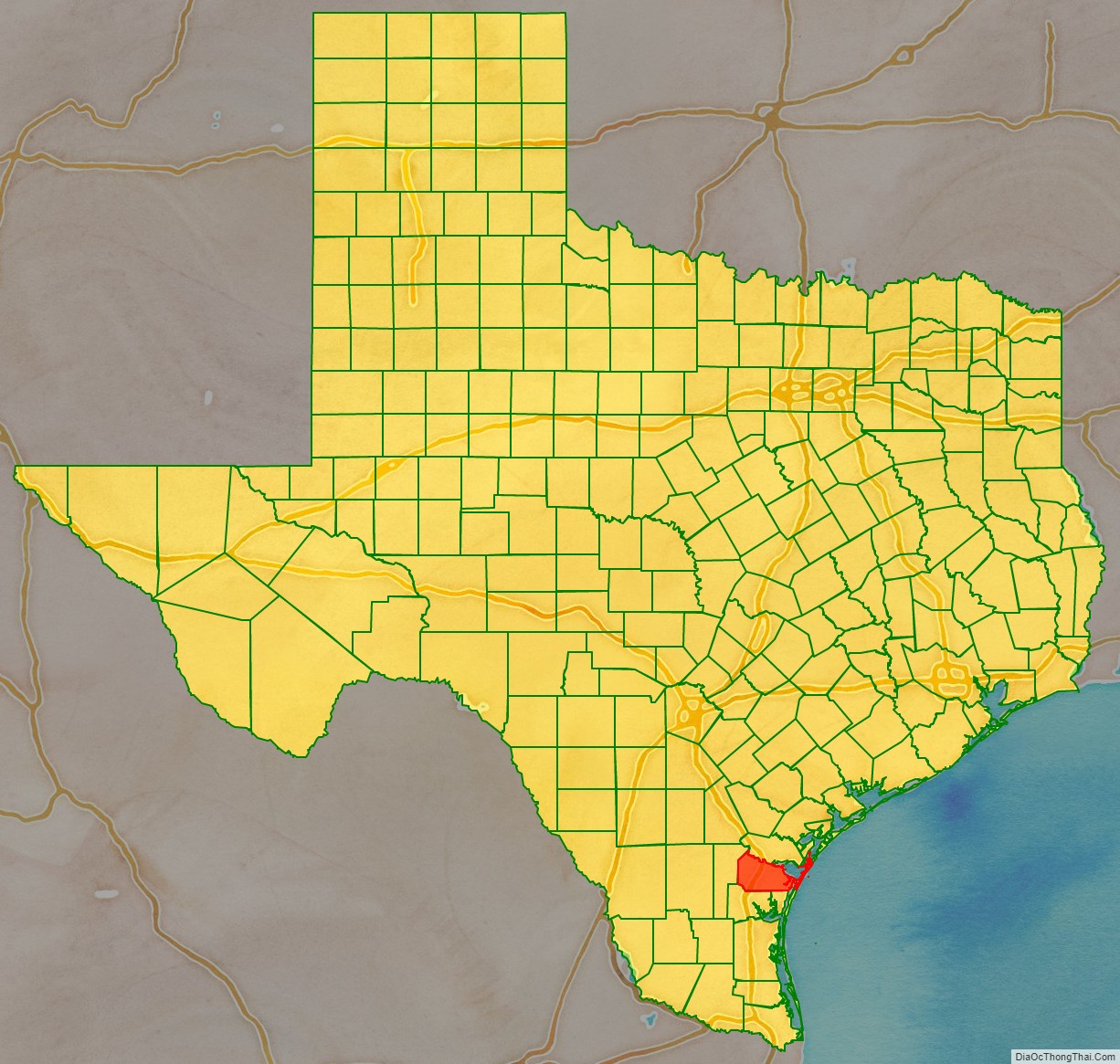
Nueces County is located in the U.S. state of Texas. As of the 2020 census, the population was 353,178, making it the 16th-most populous county in the state. The county seat is Corpus Christi. The county was formed in 1846 from portions of San Patricio County and organized the following year. It is named for the Nueces River, which marks the county’s northwestern boundary with San Patricio County before emptying into its mouth at Nueces Bay north of the port of Corpus Christi. Nueces County is part of the Corpus Christi metropolitan statistical area.
| Name: | Nueces County |
|---|---|
| FIPS code: | 48-355 |
| State: | Texas |
| Founded: | 1847 |
| Named for: | Nueces River |
| Seat: | Corpus Christi |
| Largest city: | Corpus Christi |
| Total Area: | 1,166 sq mi (3,020 km²) |
| Land Area: | 838 sq mi (2,170 km²) |
| Total Population: | 353,178 |
| Population Density: | 300/sq mi (120/km²) |
| Time zone: | UTC−6 (Central) |
| Summer Time Zone (DST): | UTC−5 (CDT) |
| Website: | www.co.nueces.tx.us |
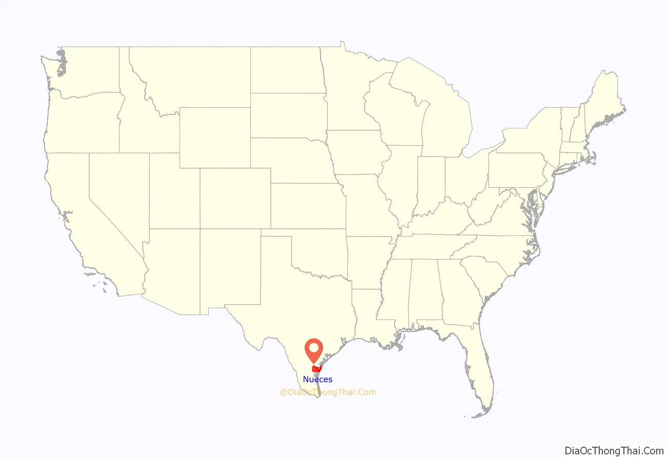
Nueces County location map. Where is Nueces County?
Nueces County Road Map
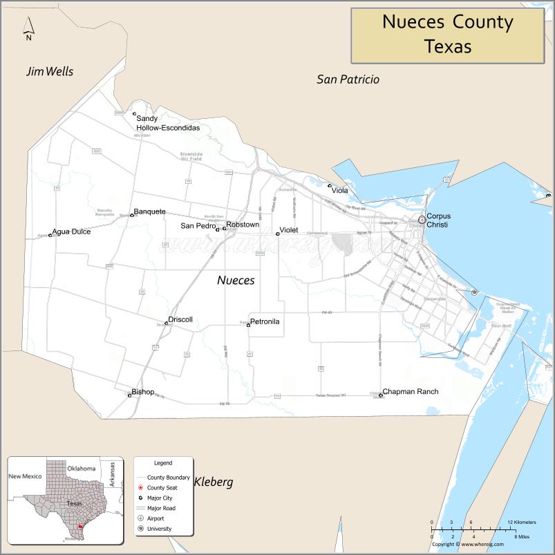
Geography
According to the U.S. Census Bureau, the county has an area of 1,166 square miles (3,020 km), of which 838 square miles (2,170 km) are land and 327 square miles (850 km) (28%) are covered by water. It borders the Gulf of Mexico.
Major highways
- Interstate 37
- Interstate 69E (Under Construction)
- U.S. Highway 77
- U.S. Highway 181
- State Highway 35
- State Highway 44
- State Highway 286
- State Highway 357
- Farm to Market Road 43
- Farm to Market Road 70
- Farm to Market Road 624
- Farm to Market Road 665
- Farm to Market Road 666
Adjacent counties
- San Patricio County (north)
- Kleberg County (south)
- Jim Wells County (west)
- Aransas County (northeast)
Nueces County Topographic Map
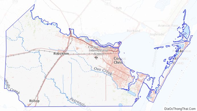
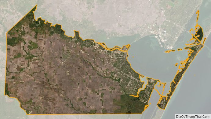
Nueces County Satellite Map
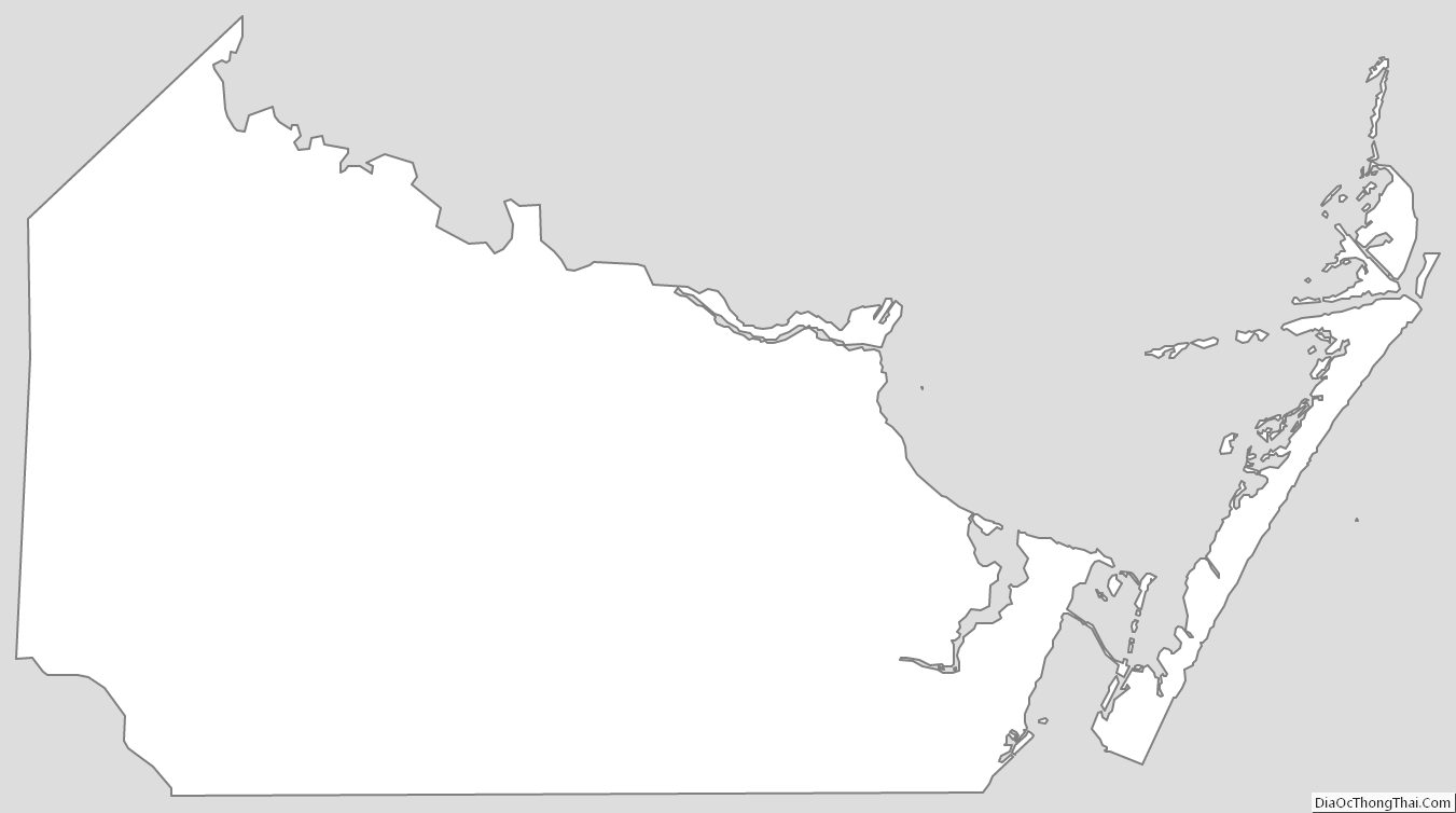
Nueces County Outline Map